Paradise
Settlement in Norfolk King's Lynn and West Norfolk
England
Paradise
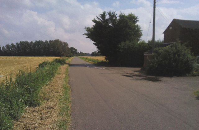
Paradise is a small village located in the county of Norfolk, England. Situated in the eastern part of the country, it is nestled amidst picturesque countryside and offers residents and visitors a tranquil and idyllic setting.
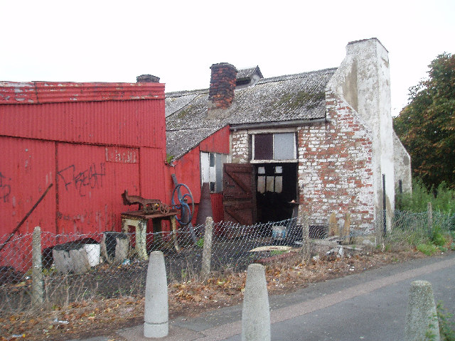
The village is characterized by its charming thatched-roof cottages, which add to its quintessential English countryside appeal. The surrounding landscape is dotted with lush green fields, meandering streams, and patches of woodland, making it a haven for nature lovers.
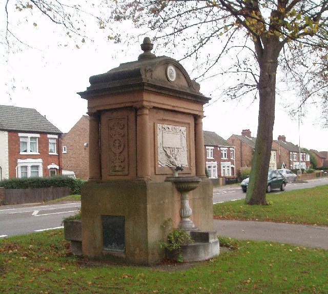
Despite its small size, Paradise boasts a strong sense of community, with a close-knit population who take pride in their village. The local village hall serves as a hub for various social activities, including community gatherings, fairs, and events. The village also has a well-maintained playground, providing a safe space for children to play and families to enjoy quality time together.
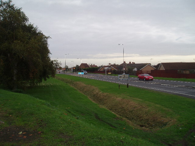
Paradise benefits from its proximity to larger nearby towns, such as Norwich, which is approximately 10 miles away. This allows residents to access a wider range of amenities, including shopping centers, schools, and healthcare facilities.
In terms of leisure activities, Paradise offers ample opportunities for outdoor pursuits. The surrounding countryside provides numerous scenic walking and cycling routes, allowing visitors to immerse themselves in the natural beauty of the area. Additionally, the village is located within easy reach of the stunning Norfolk Broads, a network of rivers and lakes that offer boating, fishing, and bird-watching opportunities.
Overall, Paradise, Norfolk, is a charming village that embraces its natural surroundings and offers a peaceful and community-oriented lifestyle.
If you have any feedback on the listing, please let us know in the comments section below.
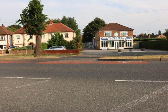
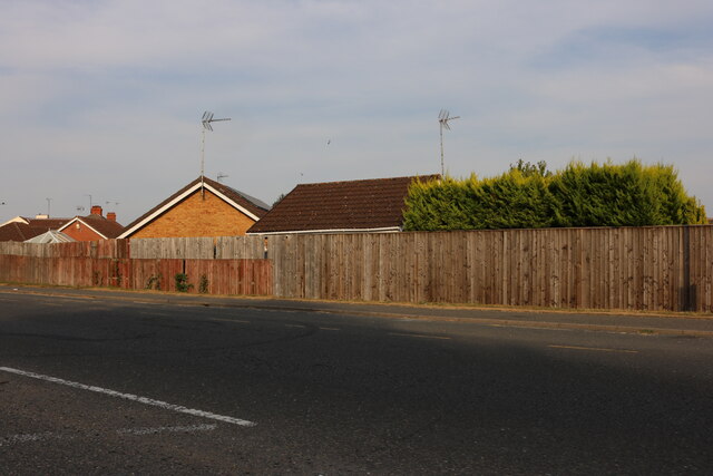
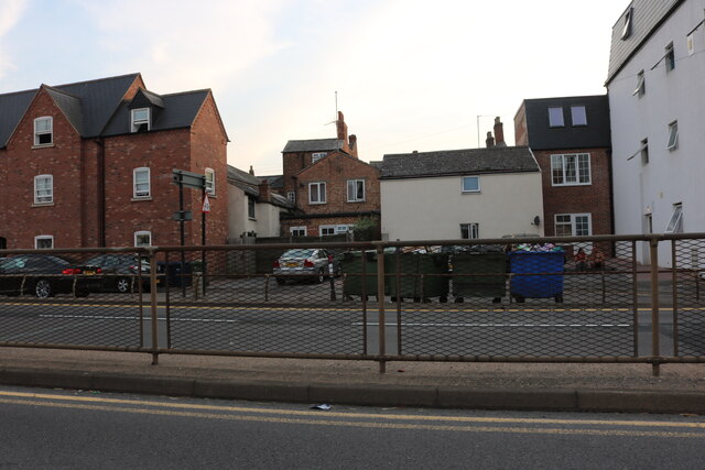
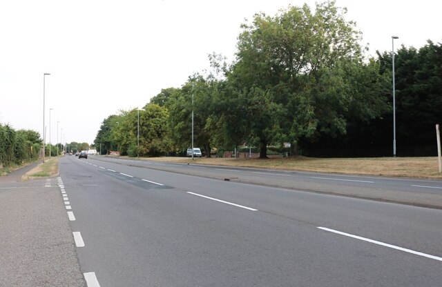
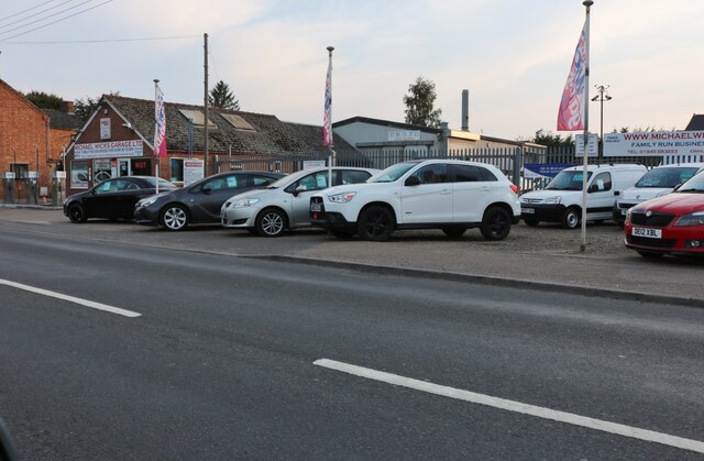
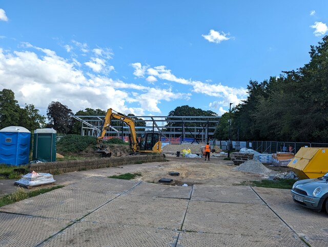
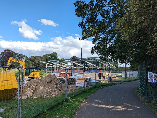
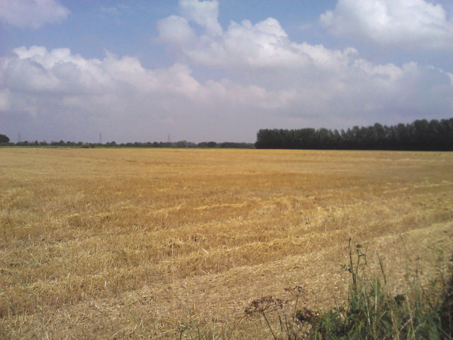
Paradise Images
Images are sourced within 2km of 52.66054/0.19269429 or Grid Reference TF4809. Thanks to Geograph Open Source API. All images are credited.
Paradise is located at Grid Ref: TF4809 (Lat: 52.66054, Lng: 0.19269429)
Administrative County: Norfolk
District: King's Lynn and West Norfolk
Police Authority: Norfolk
What 3 Words
///ruffle.outgrown.clerk. Near Wisbech, Cambridgeshire
Nearby Locations
Related Wikis

Walsoken railway station
Walsoken railway station was located on the line between Wisbech East and Emneth. It served the village and parish of Walsoken in Norfolk, England, and...

Walsoken
Walsoken is a settlement and civil parish in Norfolk, England, which is conjoined as a suburb at the northeast of the town of Wisbech, Isle of Ely, Cambridgeshire...

Emneth railway station
Emneth was a railway station, near Wisbech, which served the village of Emneth, Norfolk. The station was opened in 1848 as an extension of the East Anglian...

Elmbridge railway station
Elmbridge railway station was a stop on the Wisbech and Upwell Tramway. It was in a projection of the parish of Emneth, Norfolk but was immediately south...
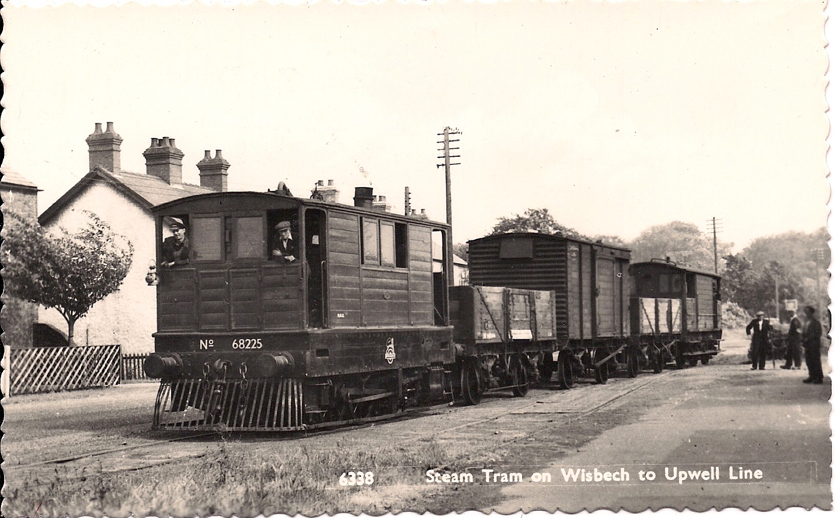
Wisbech and Upwell Tramway
The Wisbech and Upwell Tramway was a rural standard gauge tramway in East Anglia. It was built by the Great Eastern Railway between Wisbech, Isle of Ely...
Wisbech Electric Theatre
The Wisbech Electric Theatre was a cinema and theatre in Wisbech, England. It was opened in 1910. == History == The proprietor was Mr Cooper J Elm and...
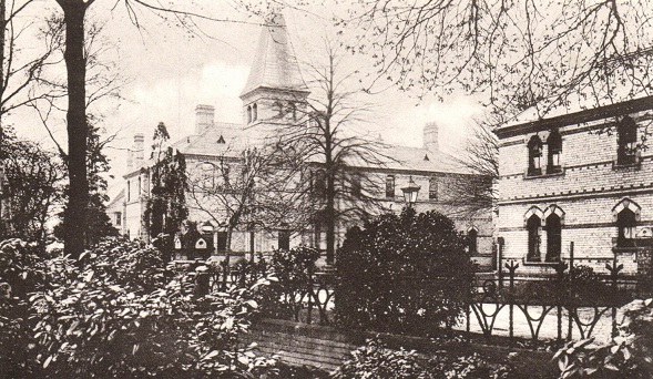
North Cambridgeshire Hospital
North Cambridgeshire Hospital is a healthcare facility in The Park, Wisbech, Cambridgeshire, England. It is managed by the Cambridgeshire and Peterborough...
Thomas Clarkson Academy
Thomas Clarkson Academy is a mixed secondary school and sixth form located in Wisbech, Cambridgeshire, England. A new school building has been constructed...
Nearby Amenities
Located within 500m of 52.66054,0.19269429Have you been to Paradise?
Leave your review of Paradise below (or comments, questions and feedback).