Park
Settlement in Dumfriesshire
Scotland
Park

The requested URL returned error: 429 Too Many Requests
If you have any feedback on the listing, please let us know in the comments section below.
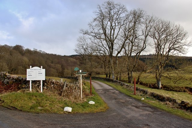
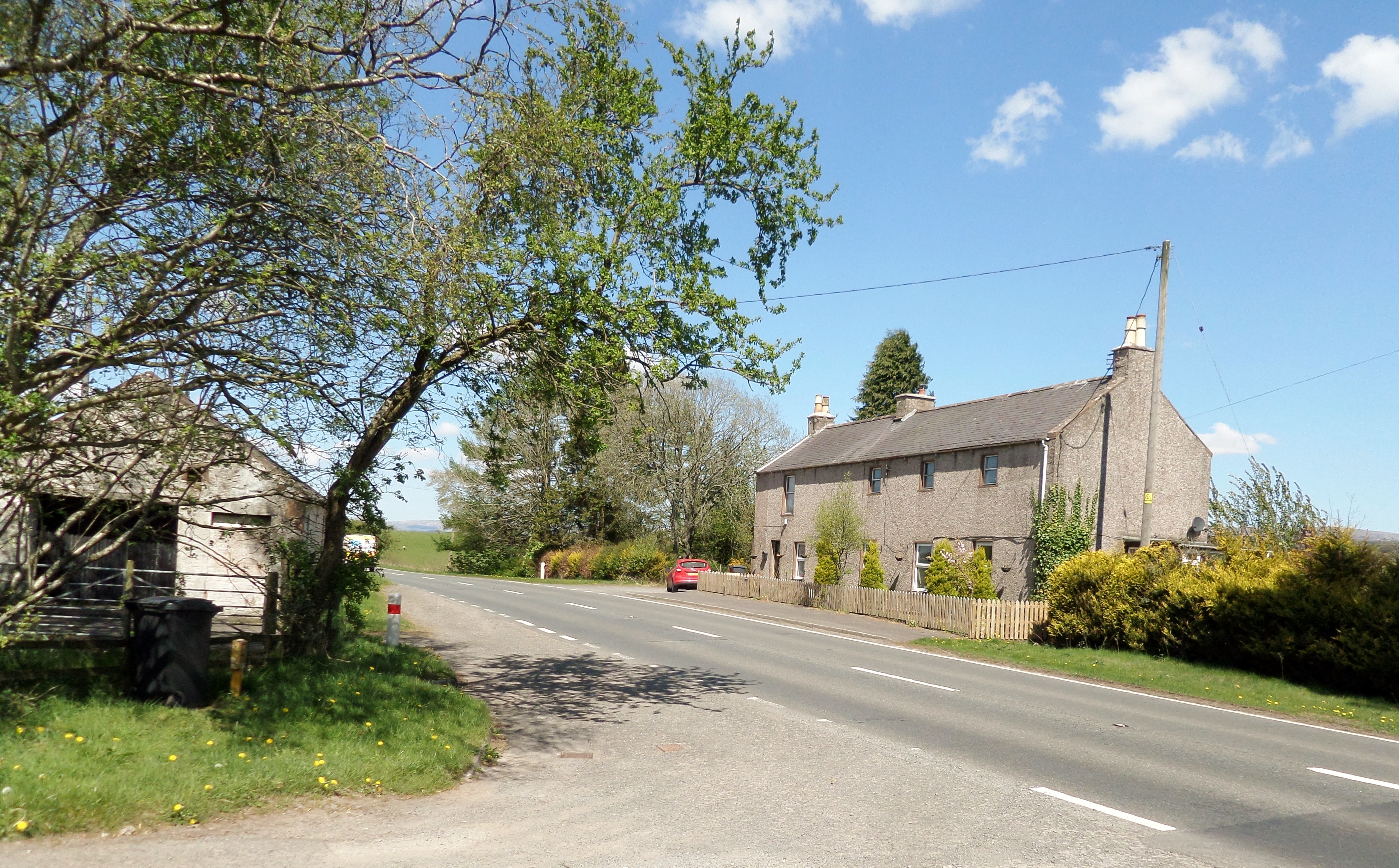
Park Images
Images are sourced within 2km of 55.203459/-3.7160745 or Grid Reference NX9091. Thanks to Geograph Open Source API. All images are credited.


Park is located at Grid Ref: NX9091 (Lat: 55.203459, Lng: -3.7160745)
Unitary Authority: Dumfries and Galloway
Police Authority: Dumfries and Galloway
What 3 Words
///juggles.discussed.jolt. Near Thornhill, Dumfries & Galloway
Nearby Locations
Related Wikis
Brownhill Inn
Brownhill Inn, now just called Brownhill (NX 902 911), was an inn approximately 1 mile (1.6 km) mile south of Closeburn, on the A76, which itself is about...

Closeburn Castle
Closeburn Castle is a privately owned tower house, probably of the 14th century, but possibly older, and is one of the oldest continually inhabited houses...

Closeburn, Dumfries and Galloway
Closeburn (Scottish Gaelic: Cill Osbairn) is a village and civil parish in Dumfries and Galloway, Scotland. The village is on the A76 road 2+1⁄2 miles...
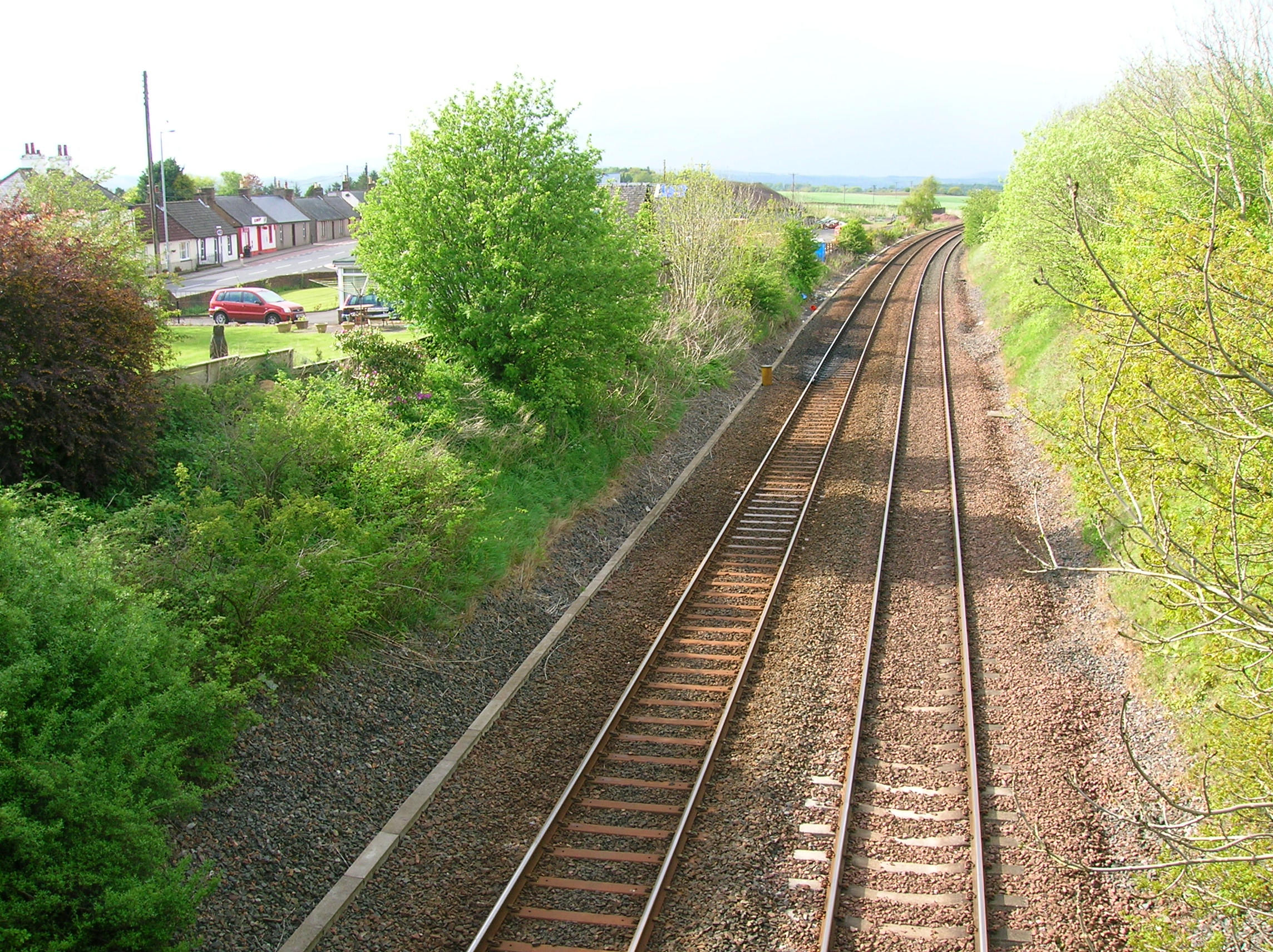
Closeburn railway station
Closeburn railway station was a railway station in Dumfries and Galloway north of Dumfries, serving a rural community with Wallace Hall and Closeburn Castle...
Nearby Amenities
Located within 500m of 55.203459,-3.7160745Have you been to Park?
Leave your review of Park below (or comments, questions and feedback).