Turpitt's Field
Downs, Moorland in Norfolk King's Lynn and West Norfolk
England
Turpitt's Field
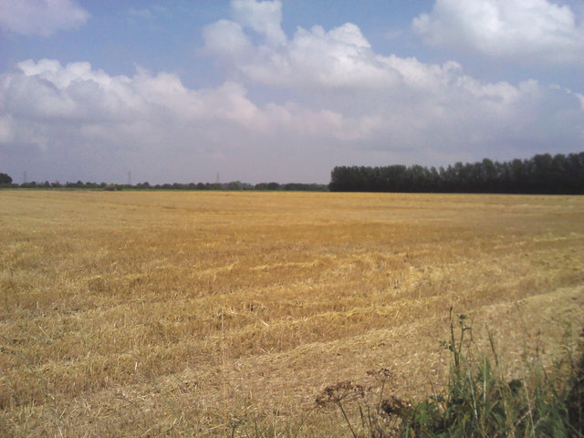
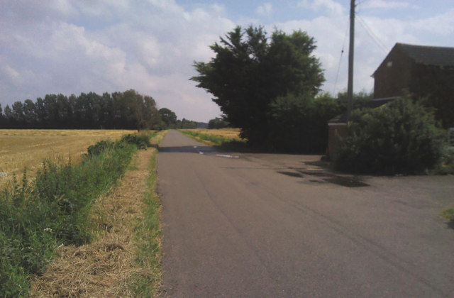
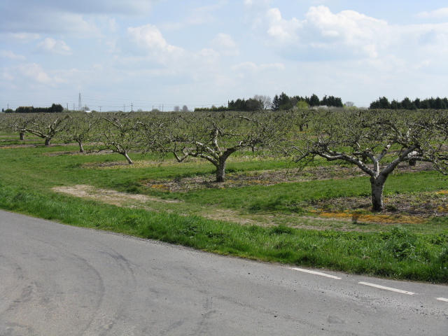
Turpitt's Field is a vast expanse of natural beauty located in Norfolk, England. Nestled between the Downs and Moorland regions, it is renowned for its picturesque landscapes and diverse flora and fauna. Covering an area of approximately 500 acres, this expansive field offers visitors a serene and tranquil escape from the hustle and bustle of city life.
The field is characterized by rolling hills, lush green meadows, and beautiful wildflowers that paint the landscape in vibrant colors. It is home to a wide variety of plant species, including heather, gorse, and ferns, which add to its natural charm. Additionally, the field is dotted with ancient trees, creating a peaceful and idyllic atmosphere.
Turpitt's Field is also a haven for wildlife enthusiasts. The area is teeming with a rich array of animal life, including rabbits, deer, foxes, and numerous species of birds. Birdwatchers will delight in the opportunity to spot rare species such as kestrels, barn owls, and skylarks.
Visitors to Turpitt's Field can enjoy a range of outdoor activities. The field is crisscrossed by several walking trails, allowing nature enthusiasts to explore its various nooks and crannies. It is also a popular spot for picnics, offering ample space for families and friends to relax and enjoy the stunning surroundings.
Overall, Turpitt's Field in Norfolk is a hidden gem that showcases the natural beauty of the region. Its vast landscapes, diverse flora and fauna, and tranquil ambiance make it an ideal destination for nature lovers and those seeking a peaceful retreat in the heart of the countryside.
If you have any feedback on the listing, please let us know in the comments section below.
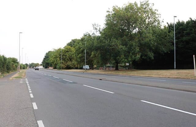
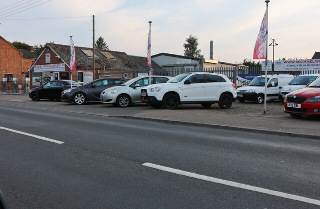
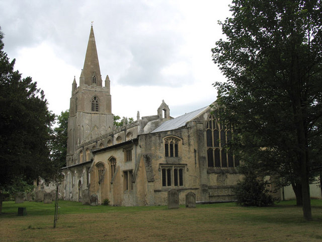
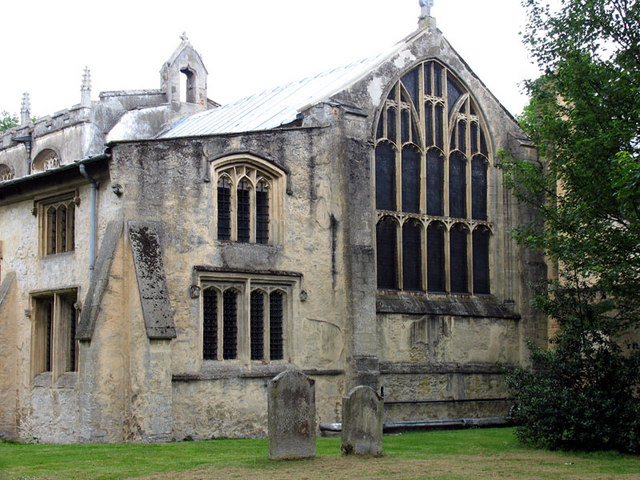
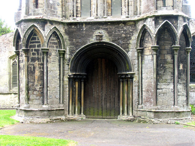
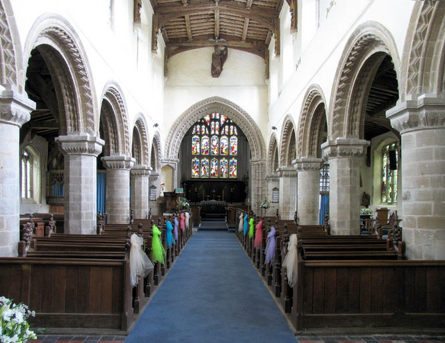
Turpitt's Field Images
Images are sourced within 2km of 52.658745/0.19254526 or Grid Reference TF4809. Thanks to Geograph Open Source API. All images are credited.


Turpitt's Field is located at Grid Ref: TF4809 (Lat: 52.658745, Lng: 0.19254526)
Administrative County: Norfolk
District: King's Lynn and West Norfolk
Police Authority: Norfolk
What 3 Words
///weeded.disputes.remainder. Near Emneth, Norfolk
Nearby Locations
Related Wikis

Walsoken railway station
Walsoken railway station was located on the line between Wisbech East and Emneth. It served the village and parish of Walsoken in Norfolk, England, and...

Walsoken
Walsoken is a settlement and civil parish in Norfolk, England, which is conjoined as a suburb at the northeast of the town of Wisbech, Isle of Ely, Cambridgeshire...

Emneth railway station
Emneth was a railway station, near Wisbech, which served the village of Emneth, Norfolk. The station was opened in 1848 as an extension of the East Anglian...

Elmbridge railway station
Elmbridge railway station was a stop on the Wisbech and Upwell Tramway. It was in a projection of the parish of Emneth, Norfolk but was immediately south...
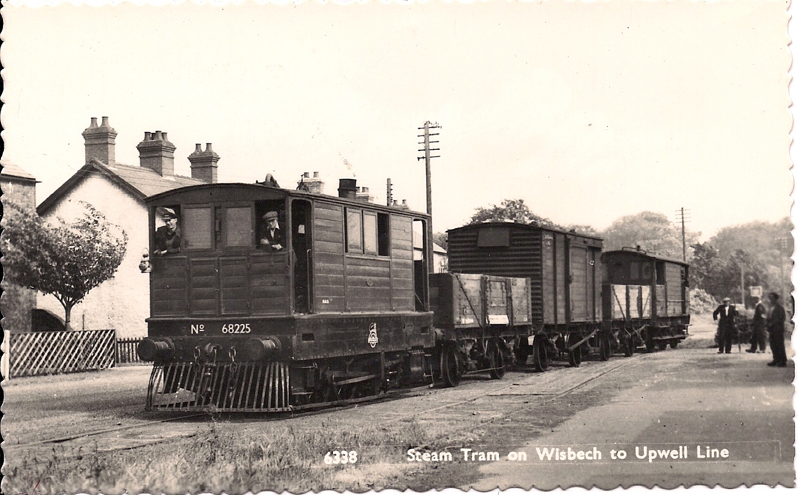
Wisbech and Upwell Tramway
The Wisbech and Upwell Tramway was a rural standard gauge tramway in East Anglia. It was built by the Great Eastern Railway between Wisbech, Isle of Ely...
Wisbech Electric Theatre
The Wisbech Electric Theatre was a cinema and theatre in Wisbech, England. It was opened in 1910. == History == The proprietor was Mr Cooper J Elm and...
Thomas Clarkson Academy
Thomas Clarkson Academy is a mixed secondary school and sixth form located in Wisbech, Cambridgeshire, England. A new school building has been constructed...
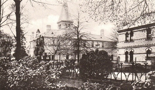
North Cambridgeshire Hospital
North Cambridgeshire Hospital is a healthcare facility in The Park, Wisbech, Cambridgeshire, England. It is managed by the Cambridgeshire and Peterborough...
Nearby Amenities
Located within 500m of 52.658745,0.19254526Have you been to Turpitt's Field?
Leave your review of Turpitt's Field below (or comments, questions and feedback).