Heath Park
Downs, Moorland in Hertfordshire Dacorum
England
Heath Park
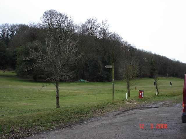
Heath Park is a picturesque and expansive natural reserve located in Hertfordshire, England. Spanning across vast acres of land, it encompasses both downs and moorland terrain, offering visitors a diverse and captivating environment. The park is renowned for its breathtaking beauty and abundant wildlife, making it a popular destination for nature enthusiasts and hikers alike.
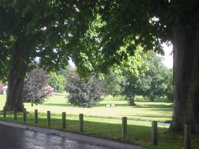
The downs of Heath Park are characterized by rolling hills, covered in lush green grass and scattered with vibrant wildflowers. Walking along the trails, visitors can enjoy panoramic views of the surrounding countryside, dotted with picturesque villages and farmland. The gentle slopes of the downs make it an ideal spot for outdoor activities such as picnicking, kite flying, or simply relaxing in the tranquil ambiance.
In contrast, the moorland section of the park presents a rugged and untamed landscape. Here, visitors can immerse themselves in the unique ecosystem, characterized by heather-covered moors, rocky outcrops, and small streams. The moorland is home to a diverse range of flora and fauna, including rare bird species, such as the Eurasian curlew and the red grouse, as well as various reptiles and insects.
Heath Park is well-maintained, with clearly marked trails and informative signposts, ensuring visitors can navigate the terrain easily and safely. Facilities such as parking, picnic areas, and restroom facilities are available, making it a convenient and enjoyable destination for families and individuals.
Overall, Heath Park, with its combination of downs and moorland, offers a captivating and enriching experience for nature lovers, providing a glimpse into the stunning natural landscapes of Hertfordshire.
If you have any feedback on the listing, please let us know in the comments section below.
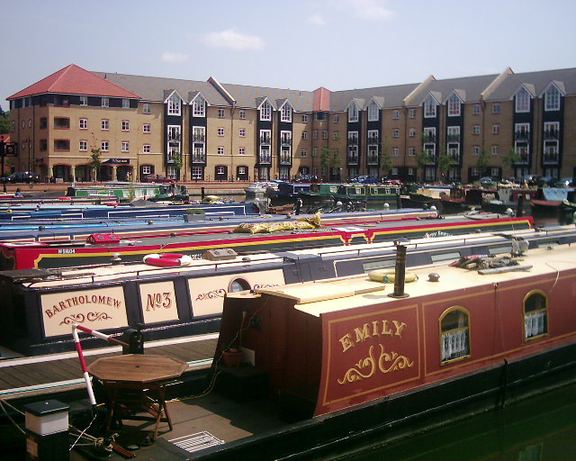
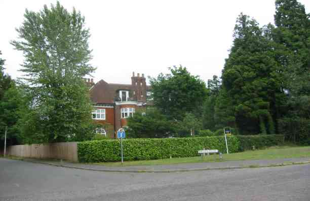
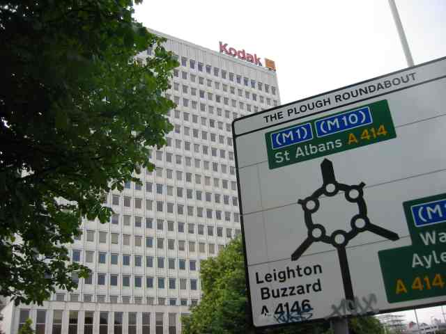
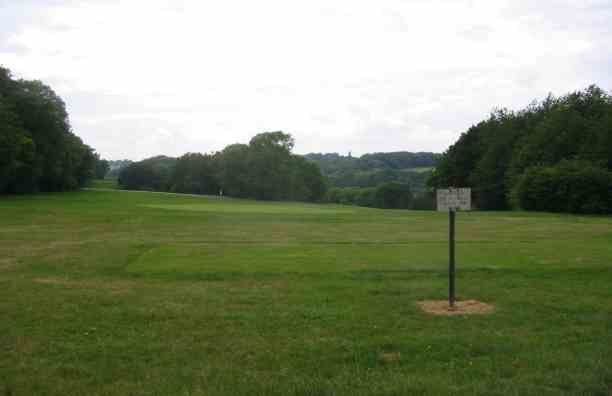
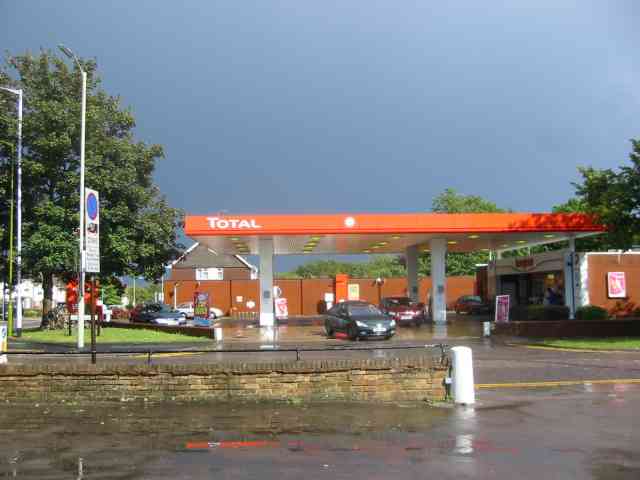
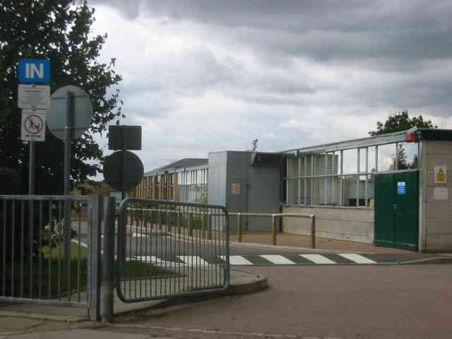
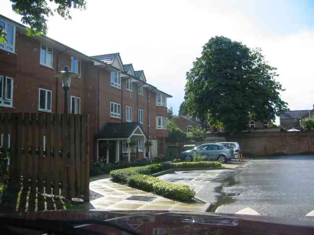
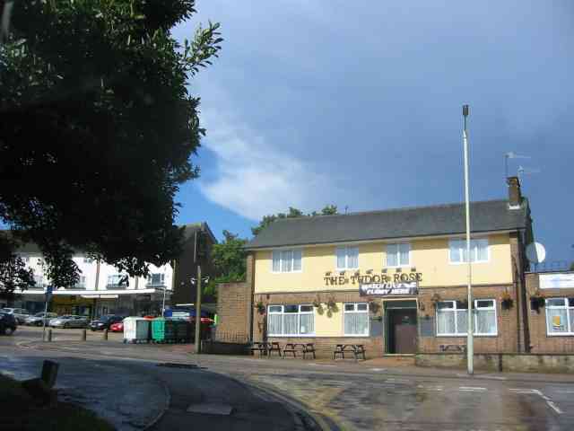
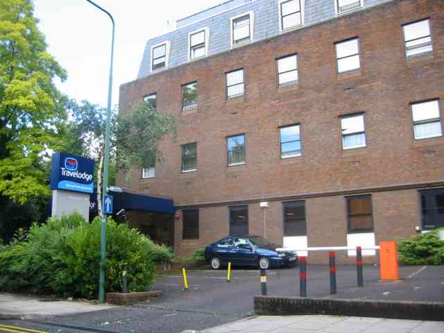
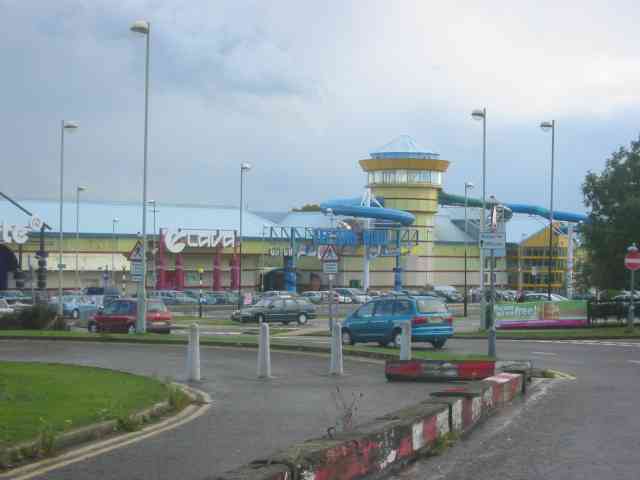
Heath Park Images
Images are sourced within 2km of 51.743781/-0.47839898 or Grid Reference TL0506. Thanks to Geograph Open Source API. All images are credited.
Heath Park is located at Grid Ref: TL0506 (Lat: 51.743781, Lng: -0.47839898)
Administrative County: Hertfordshire
District: Dacorum
Police Authority: Hertfordshire
What 3 Words
///minute.woods.stage. Near Hemel Hempstead, Hertfordshire
Nearby Locations
Related Wikis

St John's Church, Boxmoor
The Church of St John the Evangelist is a Grade II listed church in Boxmoor, Hertfordshire, England. The church was consecrated in 1874 on land purchased...
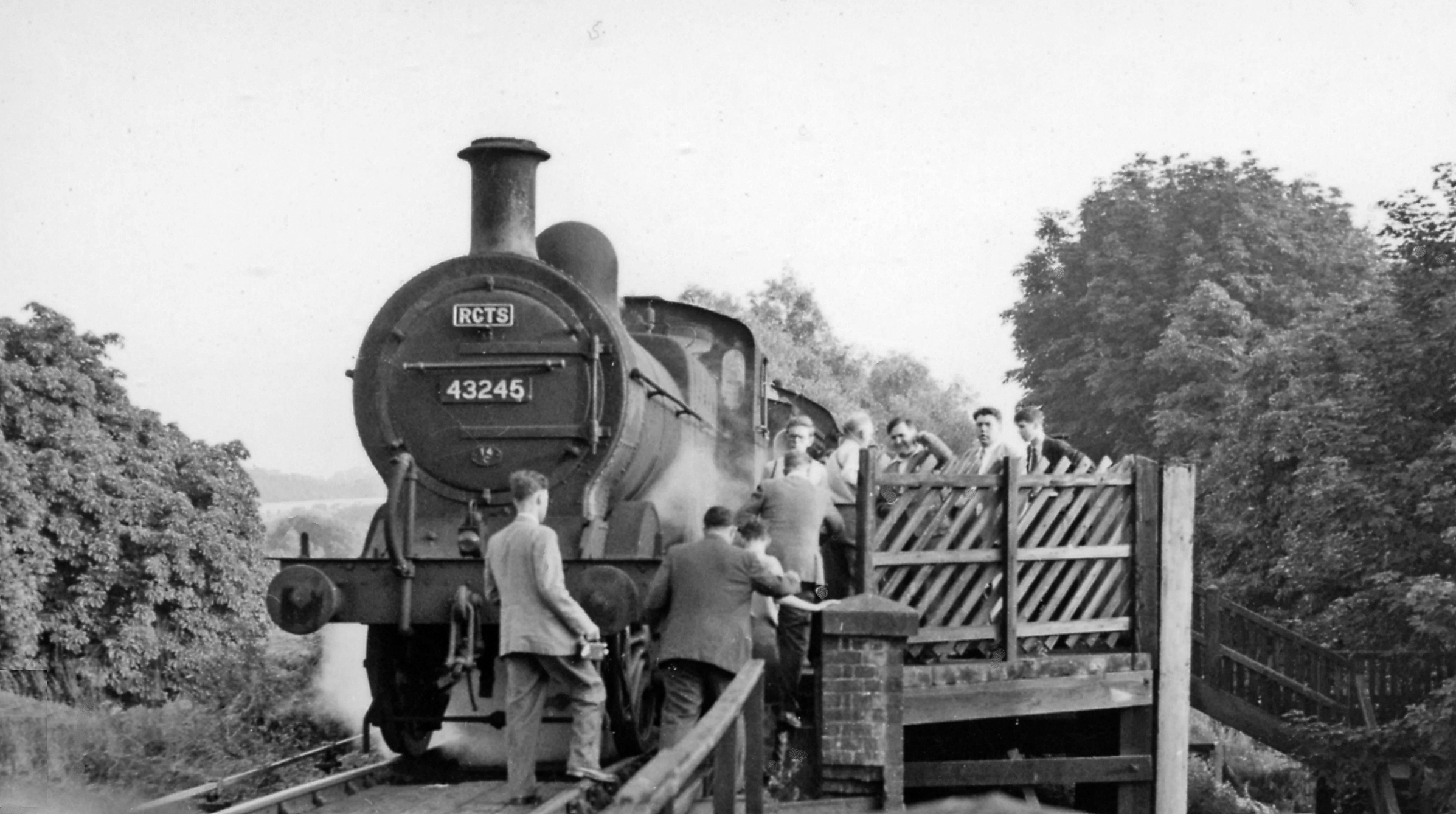
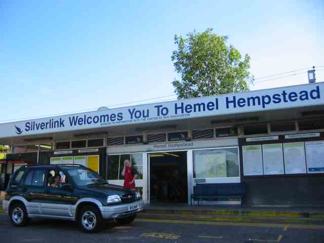
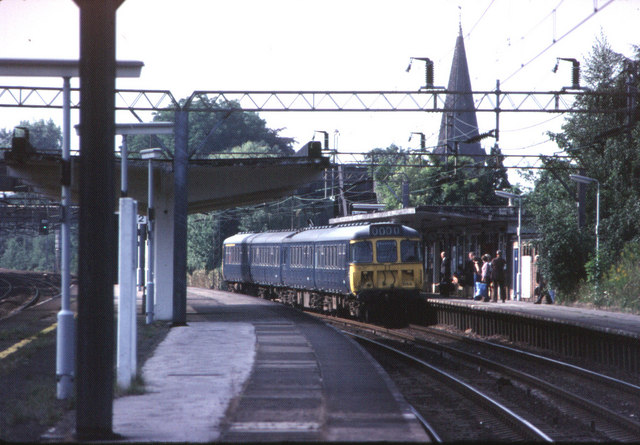
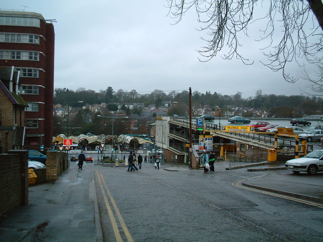
Heath Park Halt railway station
Heath Park Halt was a railway station in Hemel Hempstead, Hertfordshire in England, UK. It was the terminus for passenger services on the Nickey line,...

Magic Roundabout (Hemel Hempstead)
"The Magic Roundabout" in Hemel Hempstead, Hertfordshire, England, is the familiar name given to the Plough Roundabout. The familiar name comes from the...

The Beacon, Hemel Hempstead
The Beacon is a 17-storey block of 272 flats planned to be built in Hemel Hempstead, Hertfordshire, England. The developer Lumiere Developments claims...
Boxmoor
Boxmoor is part of Hemel Hempstead in Hertfordshire. It is within the district of Dacorum and comprises mainly 19th-century housing and meadowland, with...
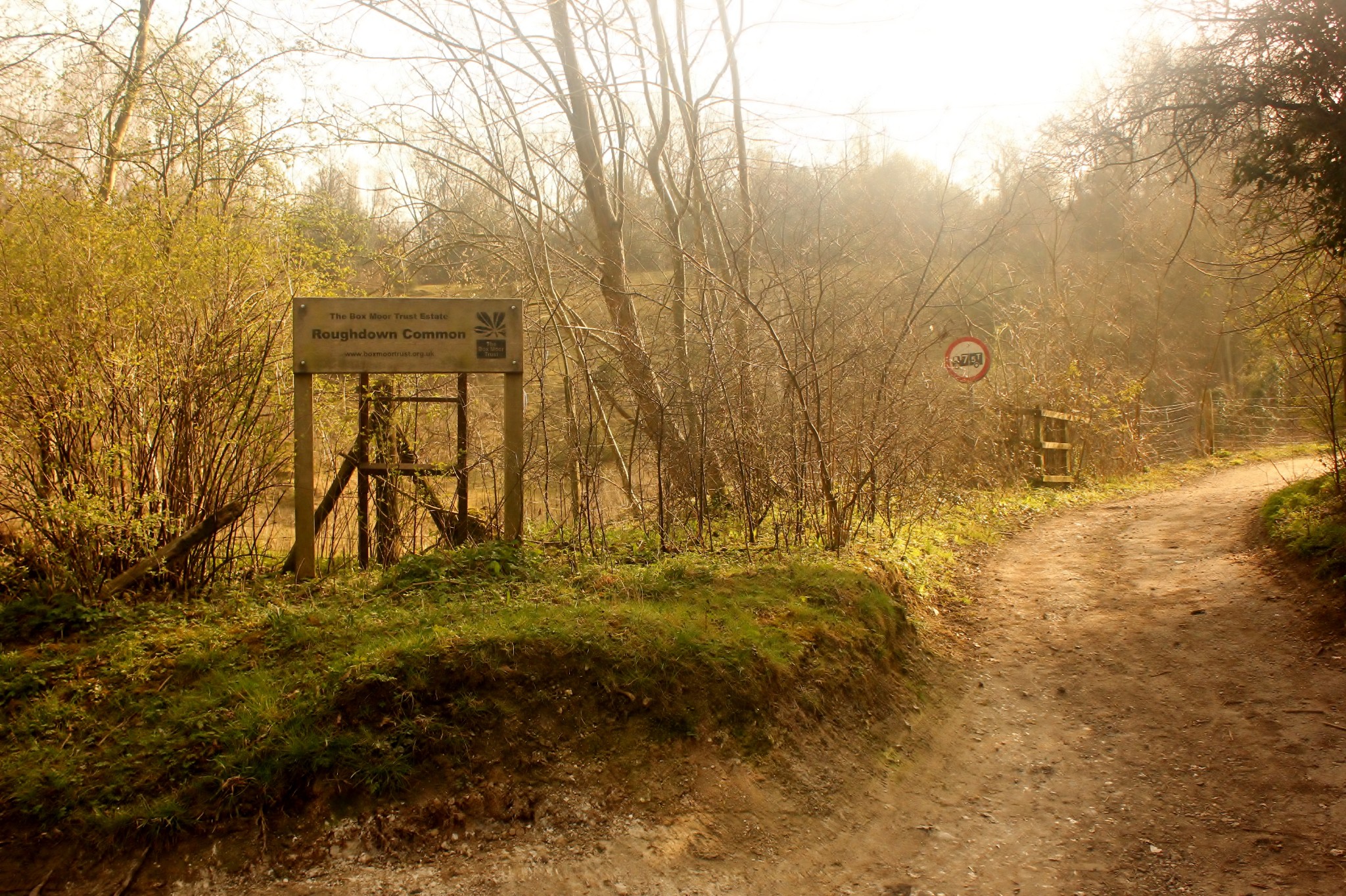
Roughdown Common
Roughdown Common is a 3.6-hectare (8.9-acre) biological Site of Special Scientific Interest in Hemel Hempstead in Hertfordshire. The planning authority...
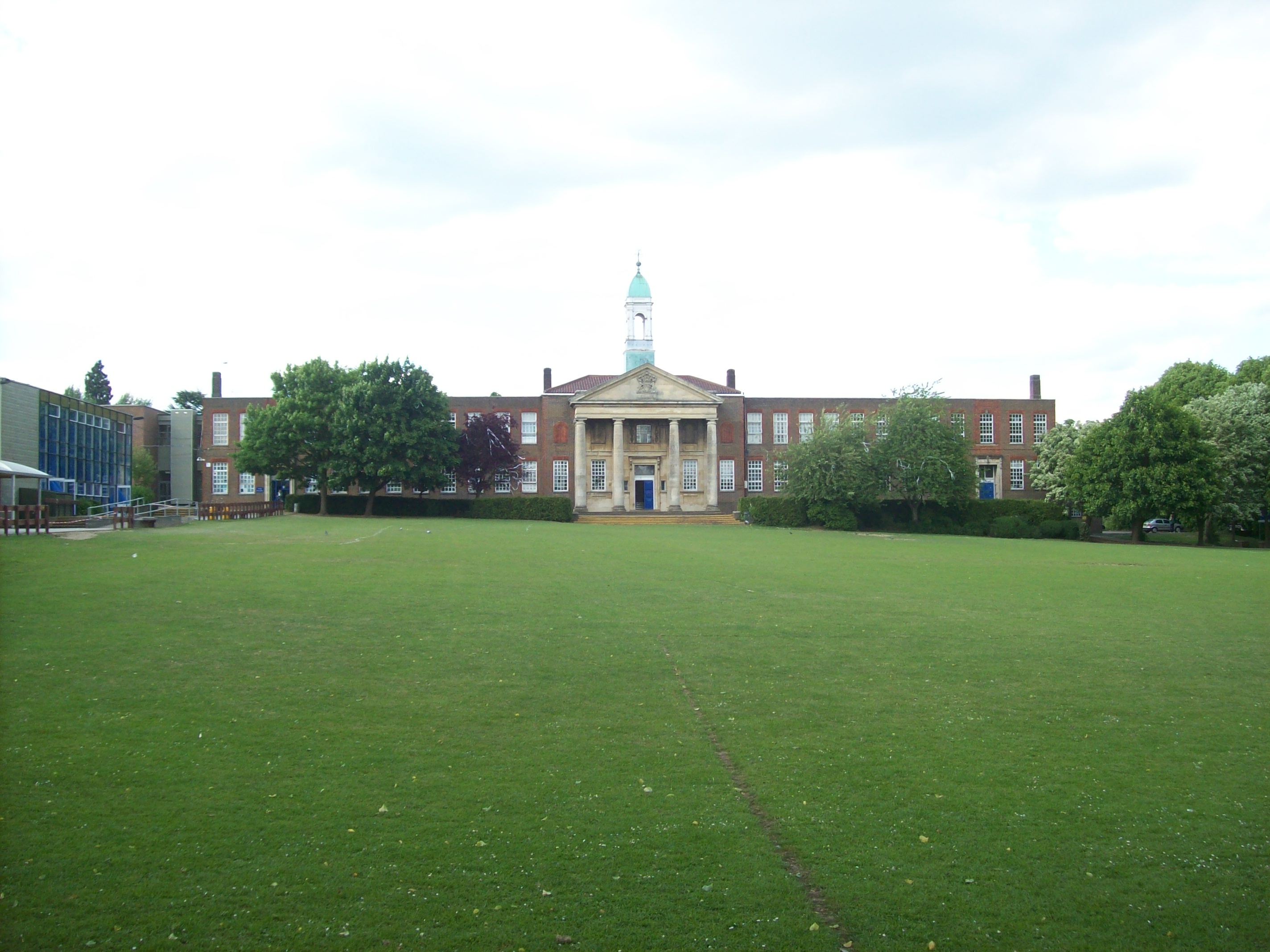
The Hemel Hempstead School
The Hemel Hempstead School is a coeducational secondary school and sixth form located in the town of Hemel Hempstead, Hertfordshire, England. == History... ==

River Bulbourne
The River Bulbourne is a small river in Dacorum, Hertfordshire, England. The word bourne derives from the Anglo-Saxon word for a stream. It is an unnavigable...
Nearby Amenities
Located within 500m of 51.743781,-0.47839898Have you been to Heath Park?
Leave your review of Heath Park below (or comments, questions and feedback).