Smithwood Common

Downs, Moorland in Surrey Waverley

England

Smithwood Common

Downs Link near Cranleigh The Downs Link path follows a dismantled railway line for most of its length.  It also forms part of route 223 of the National Cycle Network.

Here, a bridge takes the route across Cranleigh Waters, a tributary of the River Wey.
Downs Link near Cranleigh Credit: Malc McDonald

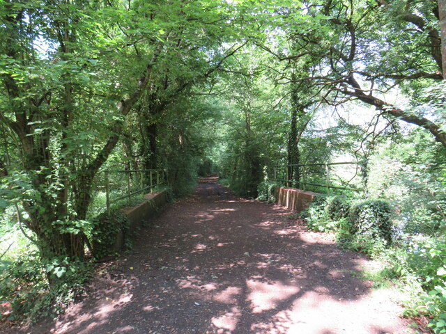
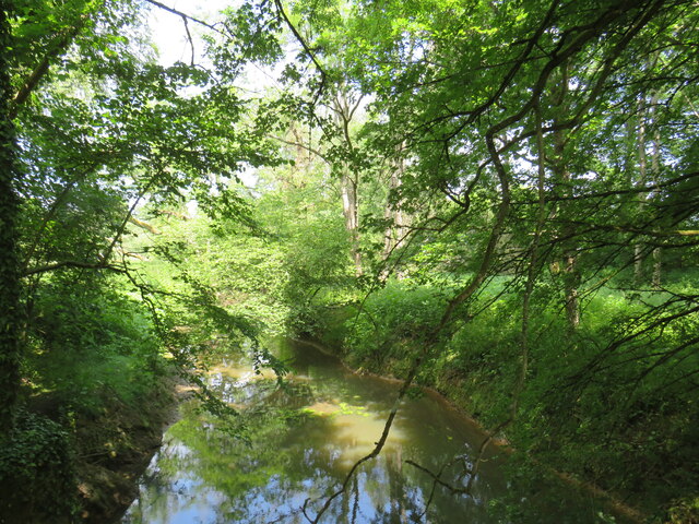
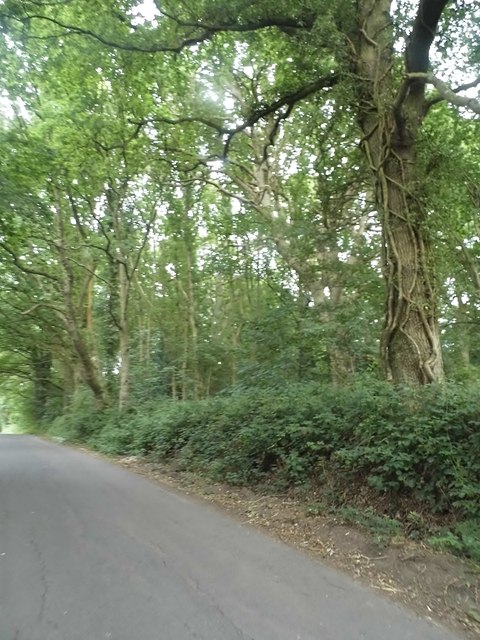
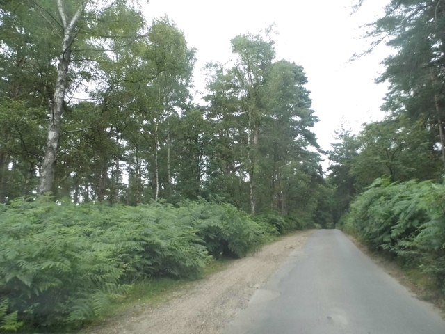
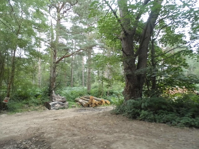
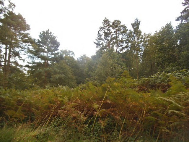
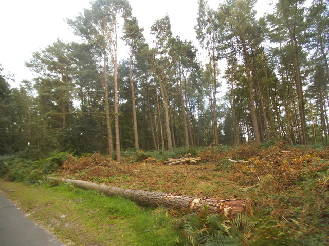
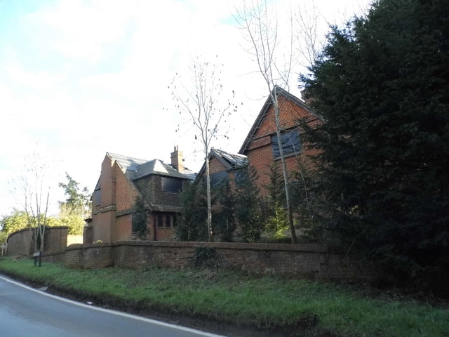
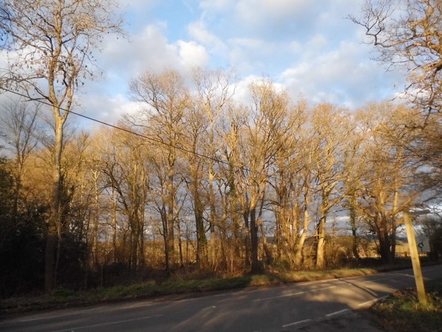
Smithwood Common is a picturesque area located in Surrey, England. Situated between the villages of Chaldon and Chipstead, the common spans across approximately 100 acres of stunning countryside. Known for its diverse landscape, the common boasts a combination of downs and moorland, offering visitors a unique and varied experience.

The downs of Smithwood Common are characterized by rolling hills covered in a mix of grasses and wildflowers. These open spaces are perfect for leisurely walks, picnics, and taking in the panoramic views of the surrounding countryside. The area is also home to a variety of wildlife, including birds such as skylarks and meadow pipits.

In contrast, the moorland areas of Smithwood Common feature heathland vegetation, with patches of gorse and heather creating a striking purple hue during the summer months. This diverse habitat supports a range of plant and animal species, including rare butterflies such as the silver-studded blue and the grayling.

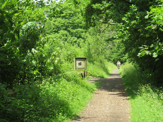
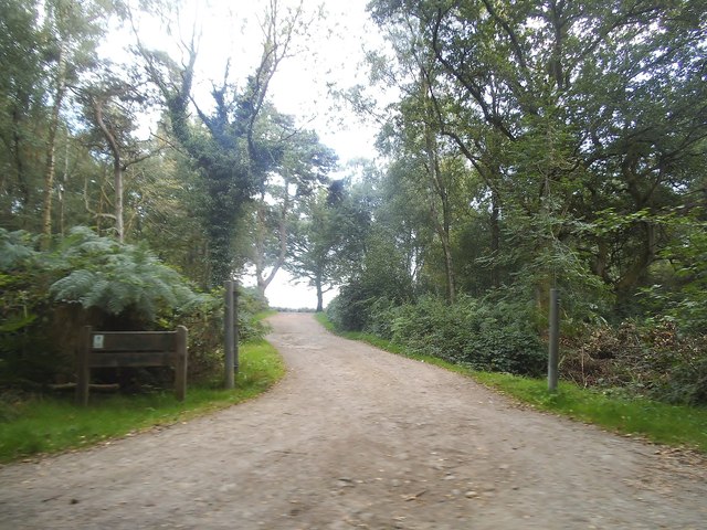
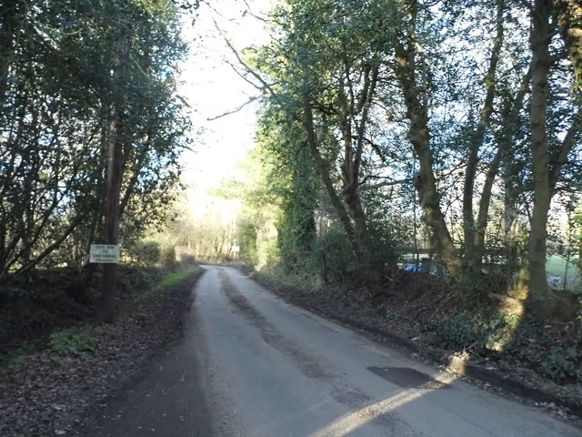
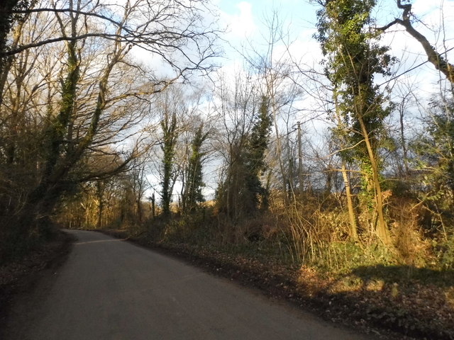
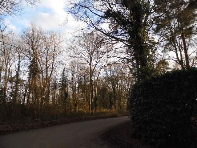
Visitors to Smithwood Common can enjoy a network of well-maintained footpaths and bridleways, making it an ideal location for walking, horse riding, and cycling. The common is also a popular spot for dog walkers, providing ample space for pets to roam and explore.

Maintained by the National Trust, Smithwood Common offers a tranquil escape from the bustling city life. Its natural beauty, combined with its accessibility and range of recreational activities, makes it a beloved destination for both locals and tourists alike.

If you have any feedback on the listing, please let us know in the comments section below.

Smithwood Common Images

Images are sourced within 2km of 51.163228/-0.49677752 or Grid Reference TQ0541. Thanks to Geograph Open Source API. All images are credited.

Downs Link near Cranleigh The Downs Link path follows a dismantled railway line for most of its length.  It also forms part of route 223 of the National Cycle Network.

Here, a bridge takes the route across Cranleigh Waters, a tributary of the River Wey.
Downs Link near Cranleigh
The Downs Link path follows a dismantled railway line for most of its length. It also forms part of route 223 of the National Cycle Network. Here, a bridge takes the route across Cranleigh Waters, a tributary of the River Wey.
Cranleigh Waters, near Cranleigh Cranleigh Waters, also known as Bramley Way, is a tributary of the River Wey in Surrey.
Cranleigh Waters, near Cranleigh
Cranleigh Waters, also known as Bramley Way, is a tributary of the River Wey in Surrey.
Downs Link near Cranleigh The Downs Link path follows a dismantled railway line for most of its length.  It also forms part of route 223 of the National Cycle Network.

An information board alongside the path gives information about the Wey & Arun Canal, which passes beneath the path here.  The canal, opened in 1816, linked the Wey and Arun Navigations to provided a navigable route for barges between London and Portsmouth.
Downs Link near Cranleigh
The Downs Link path follows a dismantled railway line for most of its length. It also forms part of route 223 of the National Cycle Network. An information board alongside the path gives information about the Wey & Arun Canal, which passes beneath the path here. The canal, opened in 1816, linked the Wey and Arun Navigations to provided a navigable route for barges between London and Portsmouth.
Cranleigh Common Tile-hung cottages overlook the triangular green at the west end of this village - reputedly England's largest.
Cranleigh Common
Tile-hung cottages overlook the triangular green at the west end of this village - reputedly England's largest.
Alderbrook Road, Smithwood Common
Shophouse Lane on Winterfold Heath
Log pile on Winterfold Heath
Winterfold Heath
Winterfold Heath
Cleared conifers on Winterfold Heath You can see the remains of the clearance where there were originally more trees
Cleared conifers on Winterfold Heath
You can see the remains of the clearance where there were originally more trees
Car Park entrance on Winterfold Heath
Roundabout on Guildford Road, Rowly
Run Common, Grafham
Run Common, Grafham
Derelict house on Run Common Road By the look of it it is more likely to be secured for refurbishment rather than demolition.
Derelict house on Run Common Road
By the look of it it is more likely to be secured for refurbishment rather than demolition.
East Whipley Lane, Rowly
Run Common Road, Rowly
Cottage on Guildford Road, Stroud Common
Show me another place!

Smithwood Common is located at Grid Ref: TQ0541 (Lat: 51.163228, Lng: -0.49677752)

Administrative County: Surrey

District: Waverley

Police Authority: Surrey

What 3 Words

///samplers.transfers.diamond. Near Cranleigh, Surrey

Nearby Locations

Smithwood Common

Related Wikis

Cranleigh School

Cranleigh School is a public school (English fee-charging boarding and day school) in the village of Cranleigh, Surrey. == History == It was opened on...

Cucknell's Wood

Cucknell's Wood is a 11-hectare (27-acre) nature reserve south-east of Shamley Green in Surrey. It is managed by the Surrey Wildlife Trust.Birds in this...

Glebelands School

Glebelands School is a county-funded and charity-supported secondary school in Cranleigh, Surrey, England. It is co-educational and takes students aged...

Cranleigh railway station

Cranleigh was a railway station on the Cranleigh Line between Guildford and Horsham. It served the village of Cranleigh, Surrey in southern England....

Winterfold Forest

Winterfold Forest is a wooded area of the broadest plateau of the western Greensand Ridge in Surrey, England. It blends seamlessly into the Hurt Wood...

Christ Church, Shamley Green

Christ Church is a Church of England parish church in Shamley Green, Surrey, England. It was constructed in 1863 as a chapel of ease and became a parish...

Hurt Wood Mill, Ewhurst

Hurt Wood Mill is a grade II* listed tower mill at Ewhurst, Surrey, England, which has been converted to residential use. == History == Hurt Wood Mill...

Marylands

Marylands is a Spanish-style country house on Pitch Hill, a rural part of Ewhurst, Surrey, England. It is a Grade II* listed building, designed during...

Nearby Amenities

Located within 500m of 51.163228,-0.49677752
Smithwood Common (South)
Leisure: common
Lat/Long: 51.1611952/-0.5000748
Post Box
Collection Times: Mo-Fr 16:45; Sa 09:00
Letters Only: yes
Operator: Royal Mail
Post Box Design: hovis
Post Box Mounting: wooden_post
Post Box Type: lamp
Ref: GU6 53
Royal Cypher: GR
Royal Cypher Wikidata: Q33102273
Source: survey
Lat/Long: 51.1649059/-0.4936227
Smithwood Common (North)
Leisure: nature_reserve
Lat/Long: 51.162497/-0.498885
Bus Stop
Smithwood Common Road
Naptan AtcoCode: 40004411833A
Naptan NaptanCode: surgmjwd
Public Transport: platform
Lat/Long: 51.1597078/-0.495145
Power: pole
Source: Bing
Lat/Long: 51.1651011/-0.4910759
Barrier: stile
Material: wood
Source: survey
Step Count: 1
Lat/Long: 51.1644847/-0.4995815
Ford: yes
Source: survey
Lat/Long: 51.1594851/-0.4941736
Barrier: stile
Material: wood
Source: survey
Step Count: 1
Lat/Long: 51.1650238/-0.4995893
Post Box
Collection Times: Mo-Fr 16:30; Sa 09:30
Operator: Royal Mail
Post Box Mounting: pier
Post Box Type: lamp
Ref: GU6 12
Royal Cypher: EIIR
Royal Cypher Wikidata: Q33102113
Source: survey
Lat/Long: 51.1589393/-0.4957745
Telephone
Booth: K6
Covered: booth
Man Made: telephone_box
Operator: BT plc
Source: survey
Lat/Long: 51.1589097/-0.4957948
The data included in this document is from www.openstreetmap.org. The data is made available under ODbL.

Have you been to Smithwood Common?

Leave your review of Smithwood Common below (or comments, questions and feedback).