Swine Moor
Downs, Moorland in Yorkshire
England
Swine Moor
The requested URL returned error: 429 Too Many Requests
If you have any feedback on the listing, please let us know in the comments section below.
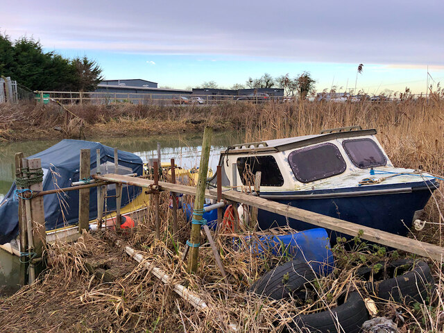
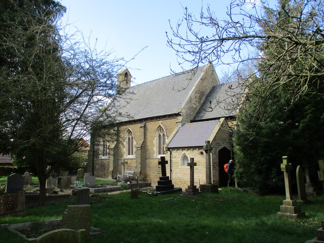
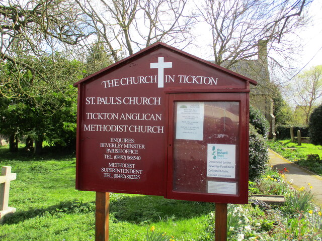
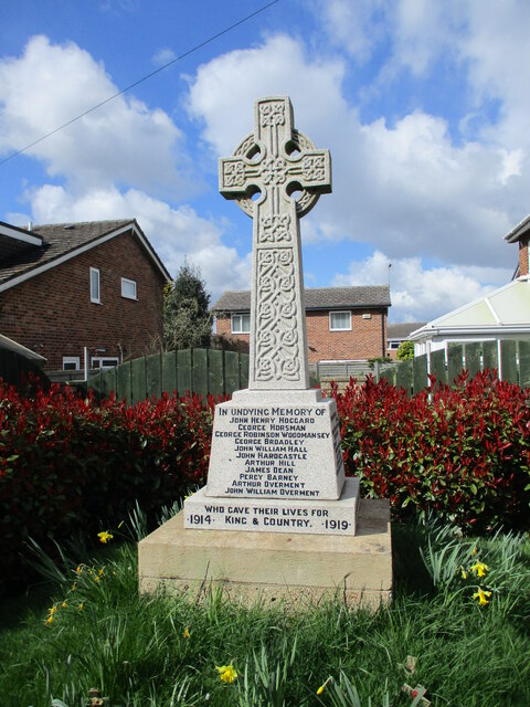
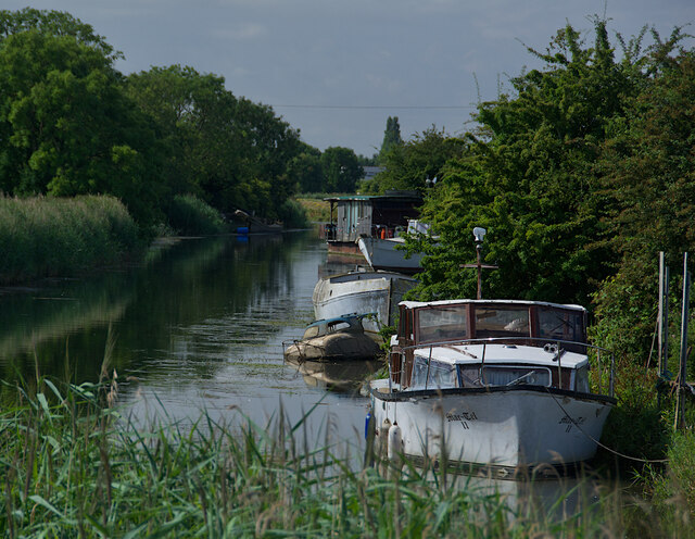
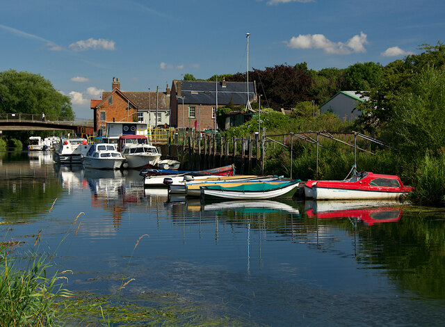
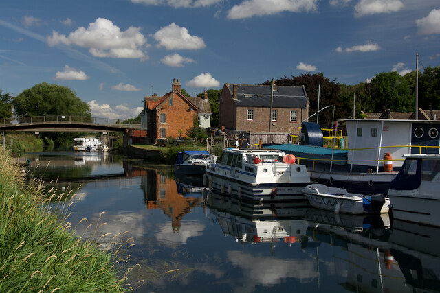
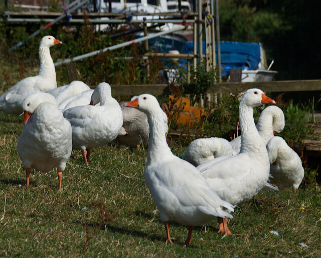
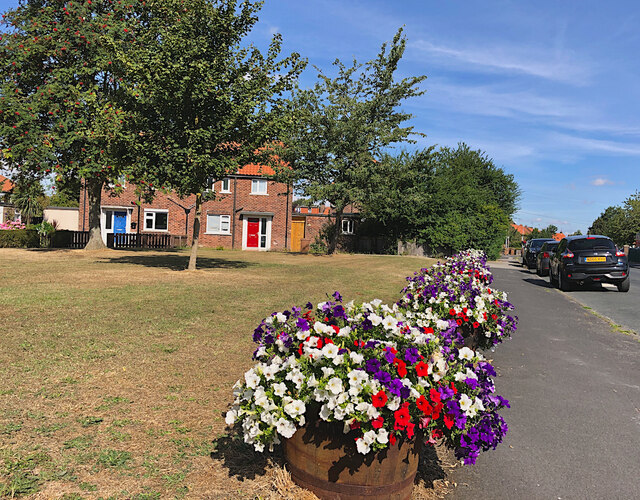
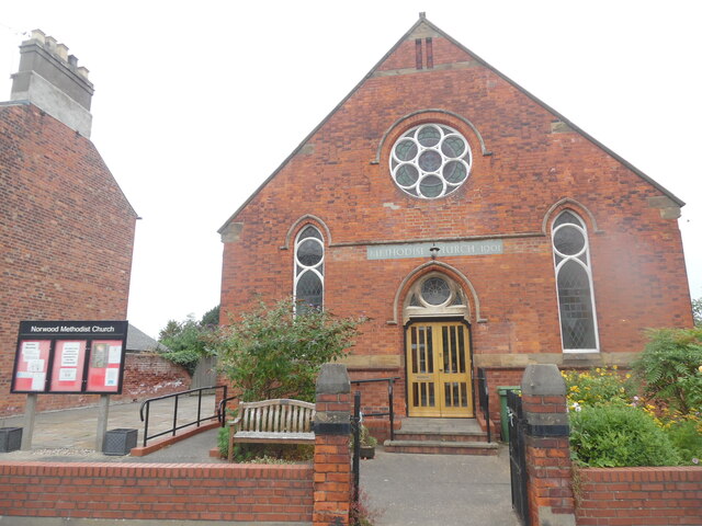
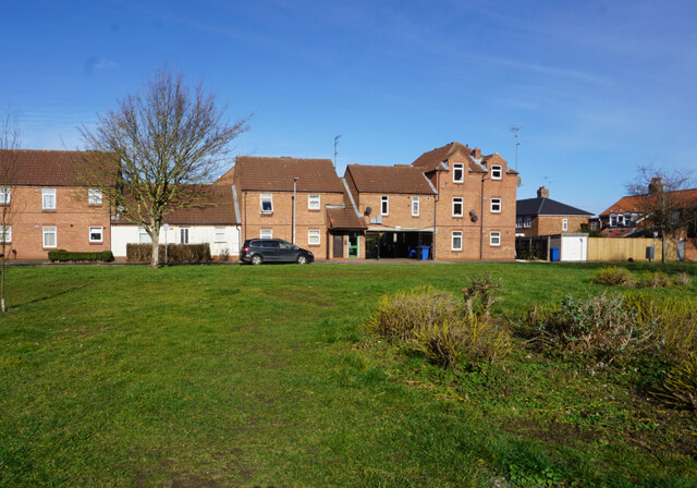
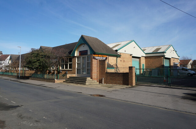
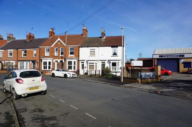
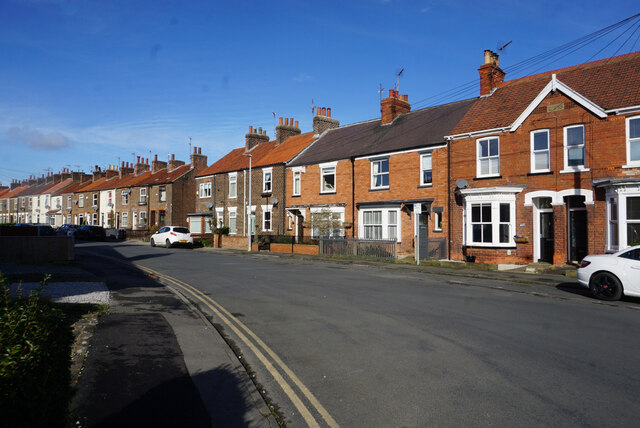
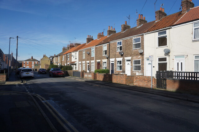
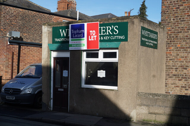
Swine Moor Images
Images are sourced within 2km of 53.852053/-0.40201222 or Grid Reference TA0540. Thanks to Geograph Open Source API. All images are credited.


Swine Moor is located at Grid Ref: TA0540 (Lat: 53.852053, Lng: -0.40201222)
Division: East Riding
Unitary Authority: East Riding of Yorkshire
Police Authority: Humberside
What 3 Words
///downs.oils.creatures. Near Tickton, East Yorkshire
Nearby Locations
Related Wikis

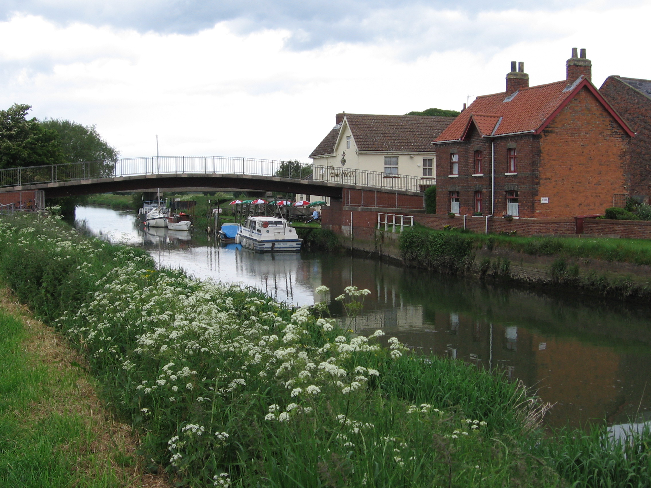
Beverley and Barmston Drain
The Beverley and Barmston Drain is the main feature of a land drainage scheme authorised in 1798 to the west of the River Hull in the East Riding of Yorkshire...
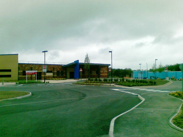
East Riding Community Hospital
East Riding Community Hospital is a health facility in Swinemoor Lane, Beverley, East Riding of Yorkshire, England. It is managed by Humber Teaching NHS...

Grovehill Junction
Grovehill Junction is a junction in Beverley, East Riding of Yorkshire. At one time, the junction was a roundabout. It is now a single level junction with...
Hull Bridge
Hull Bridge is a village in the East Riding of Yorkshire, England. It is situated approximately 1.5 miles (2.4 km) north-east of Beverley town centre....
Nearby Amenities
Located within 500m of 53.852053,-0.40201222Have you been to Swine Moor?
Leave your review of Swine Moor below (or comments, questions and feedback).