Sleaford Fen
Downs, Moorland in Lincolnshire North Kesteven
England
Sleaford Fen

Sleaford Fen, Lincolnshire is a picturesque area located in the eastern part of England. It is characterized by its unique combination of downs and moorland landscapes, creating a diverse and vibrant natural environment.
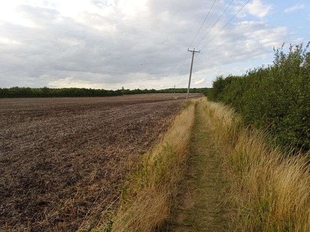
Covering an expansive area, Sleaford Fen is known for its flat and fertile land, making it ideal for agricultural activities. The rich soil supports the growth of various crops, including wheat, barley, and potatoes, contributing to the region's agricultural significance.
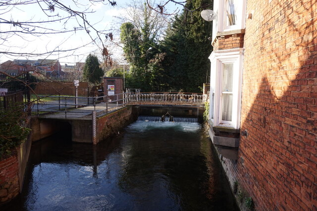
The fen is intersected by numerous water channels and drainage ditches, which play a crucial role in managing the water levels and preventing flooding. These waterways also provide habitats for a diverse range of wildlife, including water birds, fish, and amphibians.
The downs of Sleaford Fen boast rolling hills and grassy slopes, providing scenic views of the surrounding countryside. These areas are often utilized for grazing livestock, particularly sheep and cattle, which benefit from the lush vegetation and open spaces.
The moorland areas of Sleaford Fen are characterized by their extensive heathland, dominated by heather, gorse, and other low-growing shrubs. This habitat supports a variety of wildlife, including ground-nesting birds, reptiles, and small mammals.
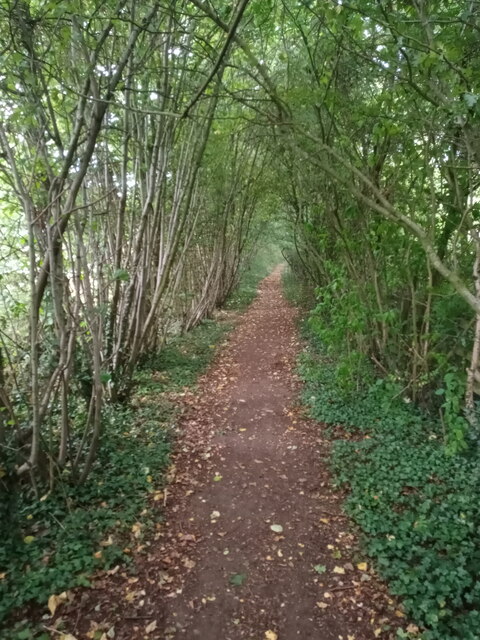
Sleaford Fen attracts nature enthusiasts and outdoor lovers due to its diverse ecosystems and ample opportunities for walking, birdwatching, and wildlife spotting. The area offers several nature reserves and walking trails, allowing visitors to explore and appreciate the natural beauty of the fen.
Overall, Sleaford Fen, Lincolnshire is a remarkable area that showcases the beauty and diversity of the English countryside, with its downs, moorland, and agricultural landscapes providing a unique and rewarding experience for visitors.
If you have any feedback on the listing, please let us know in the comments section below.
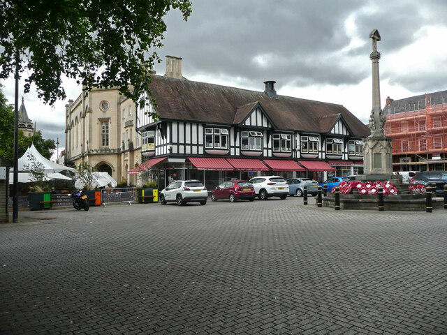
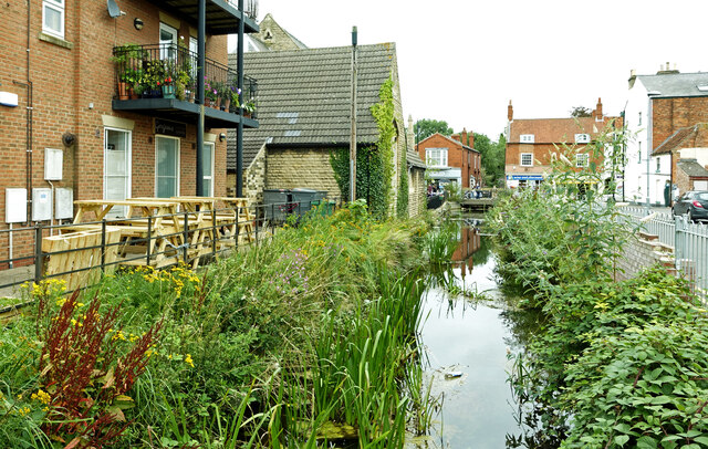
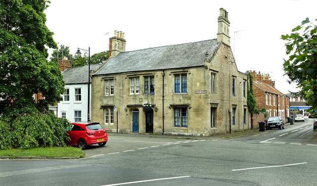
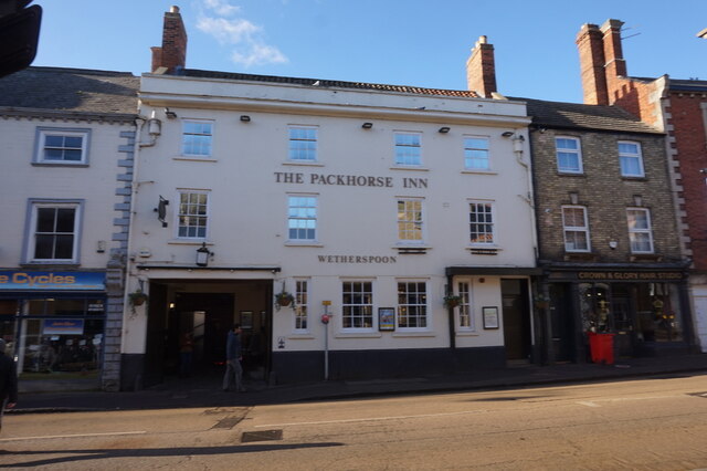
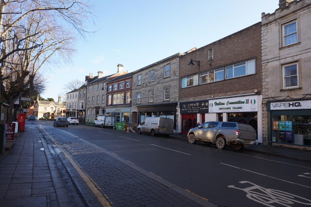
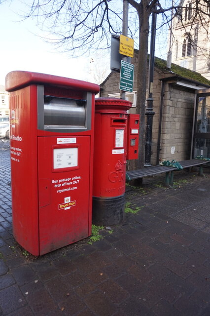
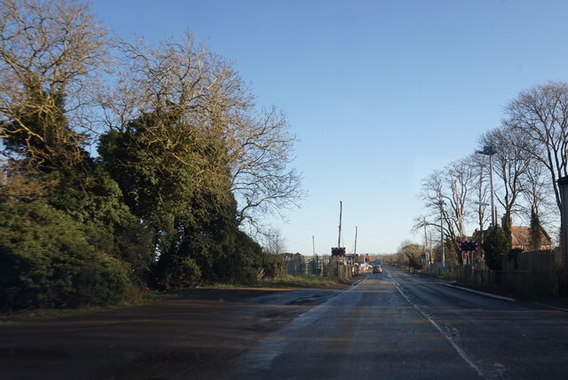
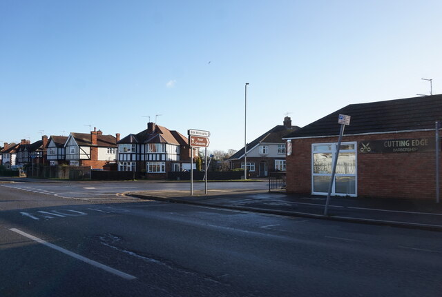
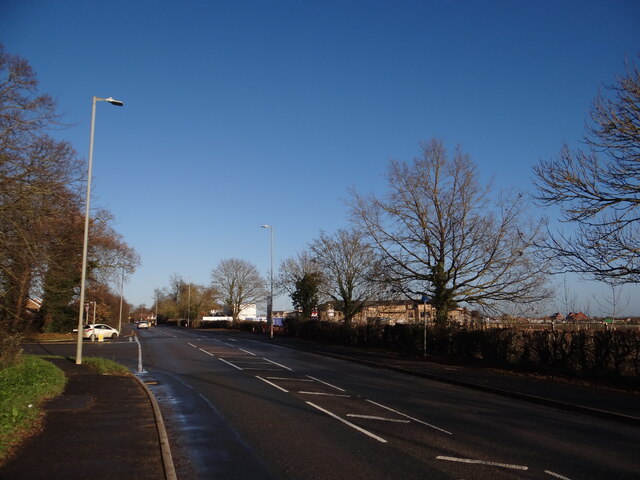
Sleaford Fen Images
Images are sourced within 2km of 52.999974/-0.43326469 or Grid Reference TF0545. Thanks to Geograph Open Source API. All images are credited.


Sleaford Fen is located at Grid Ref: TF0545 (Lat: 52.999974, Lng: -0.43326469)
Administrative County: Lincolnshire
District: North Kesteven
Police Authority: Lincolnshire
What 3 Words
///splinters.purple.frock. Near Sleaford, Lincolnshire
Nearby Locations
Related Wikis
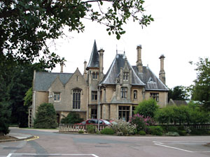
Westholme House
Westholme House is a historic building in the English market town of Sleaford in Lincolnshire, set in 32 acres of parkland and school grounds. Built around...

Sleaford Castle
Sleaford Castle is a medieval castle in Sleaford, Lincolnshire, England. Built by the Bishop of Lincoln in the early 1120s, it was habitable as late as...

St George's Academy
St George's Academy is a co-educational comprehensive secondary school based in the English market town of Sleaford in Lincolnshire, with a satellite school...
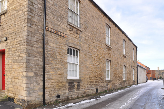
Playhouse, Sleaford
The Playhouse is a theatre in Sleaford, Lincolnshire, England. It is a Grade II listed Georgian building dating from 1820. The building became a school...
Nearby Amenities
Located within 500m of 52.999974,-0.43326469Have you been to Sleaford Fen?
Leave your review of Sleaford Fen below (or comments, questions and feedback).