Clay Hill

Hill, Mountain in Lincolnshire North Kesteven

England

Clay Hill

Buildings in the market place, Sleaford An awkward situation where buildings face a pay-and-display car park.
Buildings in the market place, Sleaford Credit: Humphrey Bolton

Clay Hill is a small hill located in the county of Lincolnshire, England. Situated near the village of Holton le Clay, it is known for its picturesque surroundings and historical significance. Despite its name, Clay Hill is not a typical hill or mountain, but rather a gentle rise in the landscape.

The hill is characterized by its clay-based soil, which gives it a distinct reddish hue. It is covered in lush green grass and scattered with wildflowers, creating a beautiful and peaceful natural setting. The area is popular among locals and visitors alike for leisurely walks, picnics, and photography.

Historically, Clay Hill has been an important location for the local community. It is believed to have been a site of pagan worship during ancient times, and remnants of ancient burial mounds have been found in the vicinity. In the Middle Ages, the hill was home to a small settlement and was used as a strategic lookout point due to its elevated position.

Today, Clay Hill serves as a reminder of the region's rich history and natural beauty. It offers stunning panoramic views of the surrounding countryside, making it a popular spot for nature enthusiasts and photographers. Whether it's exploring the ancient legends associated with the area or simply enjoying the tranquility of the landscape, Clay Hill is a must-visit destination for those interested in Lincolnshire's heritage and natural attractions.

If you have any feedback on the listing, please let us know in the comments section below.
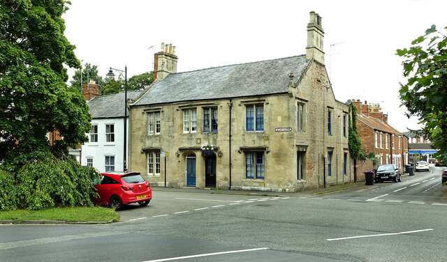
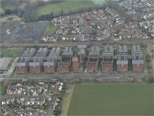
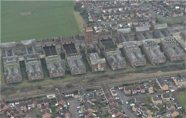
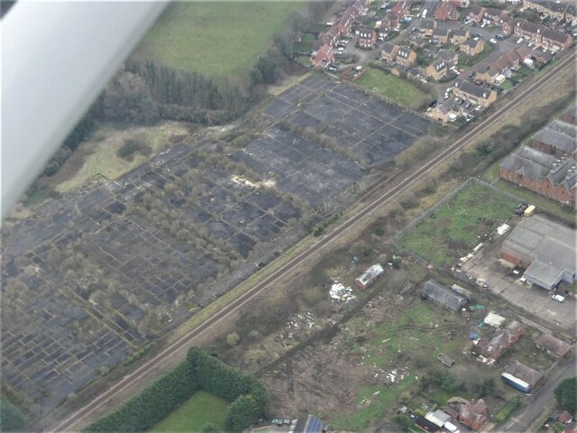
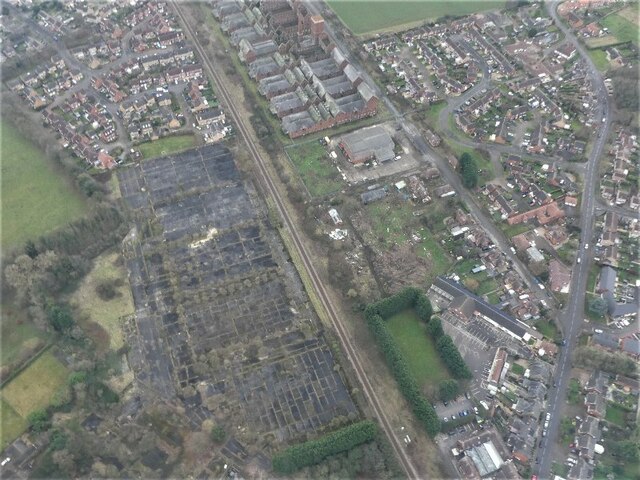
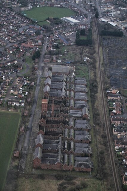
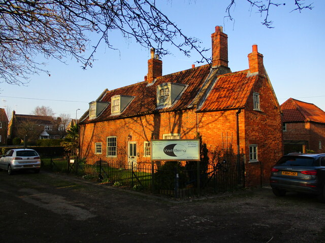
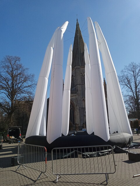
Clay Hill Images

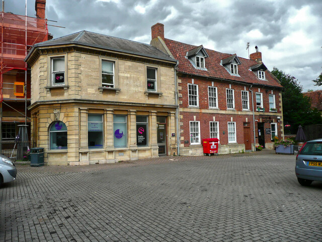
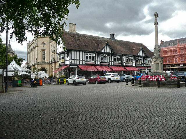
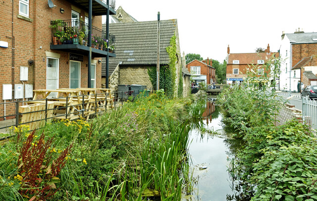
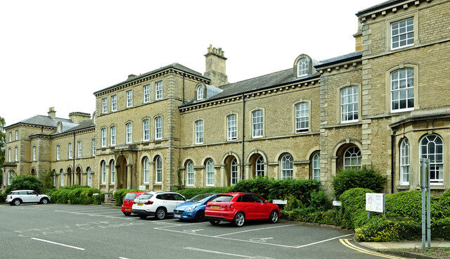
Images are sourced within 2km of 52.996786/-0.42804561 or Grid Reference TF0545. Thanks to Geograph Open Source API. All images are credited.

Buildings in the market place, Sleaford An awkward situation where buildings face a pay-and-display car park.
Buildings in the market place, Sleaford
An awkward situation where buildings face a pay-and-display car park.
Window, St Denys, Sleaford This is one of the windows with "flowing tracery" that Nikolaus Pevsner remembered the church for. It is similar in style to the east window of the chancel of Boston church.
Window, St Denys, Sleaford
This is one of the windows with "flowing tracery" that Nikolaus Pevsner remembered the church for. It is similar in style to the east window of the chancel of Boston church.
Café, shops and war memorial, Market Place, Sleaford
The River Slea Viewed on a disappointingly dull summer day.
The River Slea
Viewed on a disappointingly dull summer day.
Tesco at Sleaford Located on North Gate.
Tesco at Sleaford
Located on North Gate.
Council offices at Lafford Terrace See <a href="https://www.geograph.org.uk/photo/5574532">TF0745 : Lafford Terrace</a> for information about this lovely old building.
Council offices at Lafford Terrace
See TF0745 : Lafford Terrace for information about this lovely old building.
East Gate, Sleaford Viewed on the edge of the square on a disappointingly dull summer day.
East Gate, Sleaford
Viewed on the edge of the square on a disappointingly dull summer day.
Fire-damaged Maltings, Sleaford: aerial 2022 (1)
Fire-damaged Maltings, Sleaford: aerial 2022 (2)
Former Advanta Seeds site, Sleaford: aerial 2022 (2)
Fire-damaged Maltings, Sleaford: aerial 2022 (3)
Coggesford Lock The remains of Coggesford Lock on the Sleaford Navigation.
Coggesford Lock
The remains of Coggesford Lock on the Sleaford Navigation.
Coggesford Mill, Sleaford Mid eighteenth century water powered corn mill <span class="nowrap"><a title="https://historicengland.org.uk/listing/the-list/list-entry/1062115?section=official-list-entry" rel="nofollow ugc noopener" href="https://historicengland.org.uk/listing/the-list/list-entry/1062115?section=official-list-entry">Link</a><img style="margin-left:2px;" alt="External link" title="External link - shift click to open in new window" src="https://s1.geograph.org.uk/img/external.png" width="10" height="10"/></span>
Coggesford Mill, Sleaford
Mid eighteenth century water powered corn mill LinkExternal link
Coggesford Mill Farmhouse Mid eighteenth century house <span class="nowrap"><a title="https://historicengland.org.uk/listing/the-list/list-entry/1360438?section=official-list-entry" rel="nofollow ugc noopener" href="https://historicengland.org.uk/listing/the-list/list-entry/1360438?section=official-list-entry">Link</a><img style="margin-left:2px;" alt="External link" title="External link - shift click to open in new window" src="https://s1.geograph.org.uk/img/external.png" width="10" height="10"/></span>
Coggesford Mill Farmhouse
Mid eighteenth century house LinkExternal link
Mill pool above Coggesford Mill
RiverLight Festival installation One of a number of things to see at the RiverLight (sic) festival held over the weekend of 19th/20th March 2022.  St Deny's church spire behind takes it all in its stride.

This particular installation is called 'Octo', by Dream Engine and features an acrobat 'inside' during an aerial performance.
RiverLight Festival installation
One of a number of things to see at the RiverLight (sic) festival held over the weekend of 19th/20th March 2022. St Deny's church spire behind takes it all in its stride. This particular installation is called 'Octo', by Dream Engine and features an acrobat 'inside' during an aerial performance.
The Packhorse Inn, North Gate, Sleaford
Show me another place!

Clay Hill is located at Grid Ref: TF0545 (Lat: 52.996786, Lng: -0.42804561)

Administrative County: Lincolnshire

District: North Kesteven

Police Authority: Lincolnshire

What 3 Words

///gone.unframed.testing. Near Sleaford, Lincolnshire

Related Wikis

Sleaford Castle

Sleaford Castle is a medieval castle in Sleaford, Lincolnshire, England. Built by the Bishop of Lincoln in the early 1120s, it was habitable as late as...

Westholme House

Westholme House is a historic building in the English market town of Sleaford in Lincolnshire, set in 32 acres of parkland and school grounds. Built around...

St George's Academy

St George's Academy is a co-educational comprehensive secondary school based in the English market town of Sleaford in Lincolnshire, with a satellite school...

Sleaford

Sleaford is a market town and civil parish in the North Kesteven district of Lincolnshire, England. Centred on the former parish of New Sleaford, the modern...

Nearby Amenities

Located within 500m of 52.996786,-0.42804561
Bus Stop
Hawks Way
Bus: yes
Naptan AtcoCode: 270002700486
Naptan Bearing: W
Naptan CommonName: Hawks Way
Naptan Indicator: adj
Naptan Landmark: Hawks Way
Naptan NaptanCode: linadwpt
Naptan Street: Rookery Avenue
Naptan Verified: no
Public Transport: platform
Source: naptan_import
Lat/Long: 52.9949406/-0.4241904
Bus Stop
Victory Way
Bus: yes
Naptan AtcoCode: 270002700487
Naptan Bearing: SW
Naptan CommonName: Victory Way
Naptan Indicator: adj
Naptan Landmark: Victory Way
Naptan NaptanCode: linagapd
Naptan Street: Sheldrake Road
Naptan Verified: no
Public Transport: platform
Source: naptan_import
Lat/Long: 52.9952092/-0.4309009
Bus Stop
Hood Close
Bus: yes
Naptan AtcoCode: 270002700488
Naptan Bearing: SE
Naptan CommonName: Hood Close
Naptan Indicator: opp
Naptan Landmark: Hood Close
Naptan NaptanCode: linagadg
Naptan Street: Clay Hill Road
Naptan Verified: no
Public Transport: platform
Source: naptan_import
Lat/Long: 52.9935667/-0.4331507
Bus Stop
Sheldrake Road
Bus: yes
Naptan AtcoCode: 270002700493
Naptan Bearing: SW
Naptan CommonName: Sheldrake Road
Naptan Landmark: Sheldrake Road
Naptan NaptanCode: linagajd
Naptan Street: Hawks Way
Naptan Verified: no
Public Transport: platform
Source: naptan_import
Lat/Long: 52.9960215/-0.4270568
Bus Stop
Brecon Way
Bus: yes
Naptan AtcoCode: 270002700677
Naptan Bearing: SE
Naptan CommonName: Brecon Way
Naptan Indicator: adj
Naptan Landmark: Brecon Way
Naptan NaptanCode: linadwjt
Naptan Street: Clay Hill Road
Naptan Verified: no
Public Transport: platform
Source: naptan_import
Lat/Long: 52.9931353/-0.4283983
Bus Stop
St Botolph's School
Bus: yes
Naptan AtcoCode: 2700LQSB1705
Naptan Bearing: NW
Naptan CommonName: St Botolph's School
Naptan Indicator: o/s
Naptan Landmark: St Botolph's School
Naptan NaptanCode: linamjdp
Naptan Street: Rookery Avenue
Naptan Verified: no
Public Transport: platform
Source: naptan_import
Lat/Long: 52.9949014/-0.4259799
Slea River Railway Bridge
Historic: ruins
Inscription: Stone, iron and wooden bridge used by the Cranwell railway from 1916 to 1956. Mostly intact but closed at the north end by a metal gate. Former trackbed to the south on private land.
Ruins: bridge
Lat/Long: 52.9999614/-0.4283327
Railway: level_crossing
Lat/Long: 52.9980871/-0.4218878
Clay Hill
Place: locality
Source: Bing
Lat/Long: 52.9971427/-0.4271036
Guildhall Springs
Place: locality
Source: Bing
Lat/Long: 52.9997748/-0.4275475
Sleaford Fen
Place: locality
Source: Bing
Lat/Long: 52.999656/-0.4251471
Quarrington Hill
Natural: peak
Source: Bing
Lat/Long: 52.9929676/-0.4299596
Quarrington Hill
Place: neighbourhood
Lat/Long: 52.9950555/-0.4282822
Grit Bin
Lat/Long: 52.9944693/-0.4219924
Post Box
Collection Times: Mo-Fr 16:45; Sa 11:00
Operator: Royal Mail
Operator Wikidata: Q638098
Post Box Type: pillar
Ref: NG34 107
Royal Cypher: EIIR
Royal Cypher Wikidata: Q33102113
Lat/Long: 52.9946168/-0.4232811
Grit Bin
Lat/Long: 52.9947752/-0.4236124
Give Way
Lat/Long: 52.9947356/-0.4233786
Give Way
Lat/Long: 52.9954039/-0.4271016
Give Way
Lat/Long: 52.9953135/-0.4264981
Generator Method: photovoltaic
Generator Output Electricity: yes
Generator Source: solar
Generator Type: solar_photovoltaic_panel
Location: roof
Power: generator
Lat/Long: 52.9945935/-0.4237837
Generator Method: photovoltaic
Generator Output Electricity: yes
Generator Source: solar
Generator Type: solar_photovoltaic_panel
Location: roof
Power: generator
Lat/Long: 52.9944853/-0.4235423
Generator Method: photovoltaic
Generator Output Electricity: yes
Generator Source: solar
Generator Type: solar_photovoltaic_panel
Location: roof
Power: generator
Lat/Long: 52.9939865/-0.4248673
The data included in this document is from www.openstreetmap.org. The data is made available under ODbL.

Have you been to Clay Hill?

Leave your review of Clay Hill below (or comments, questions and feedback).