New Down
Downs, Moorland in Sussex Arun
England
New Down

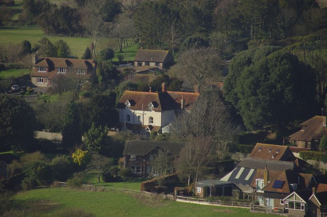
New Down, Sussex is a picturesque region located in the southern part of England, specifically in the county of Sussex. It is known for its breathtaking landscapes, characterized by rolling hills, vast open spaces, and diverse flora and fauna. The region encompasses both the Downs and Moorland areas, offering a unique blend of natural beauty.
The Downs in New Down, Sussex are a series of chalk hills that stretch across the region. These hills provide stunning panoramic views of the surrounding countryside. The area is renowned for its rich biodiversity, with a variety of plant species, including wildflowers and rare orchids, dotting the landscape. It is also home to a diverse range of wildlife, including birds of prey, such as kestrels and buzzards.
On the other hand, the Moorland in New Down, Sussex is a captivating expanse of heather-covered hills and marshy areas. This rugged terrain is ideal for hikers and nature enthusiasts looking to explore the untamed beauty of the region. The moorland is also home to unique wildlife, such as the elusive Dartford warbler and the majestic red deer.
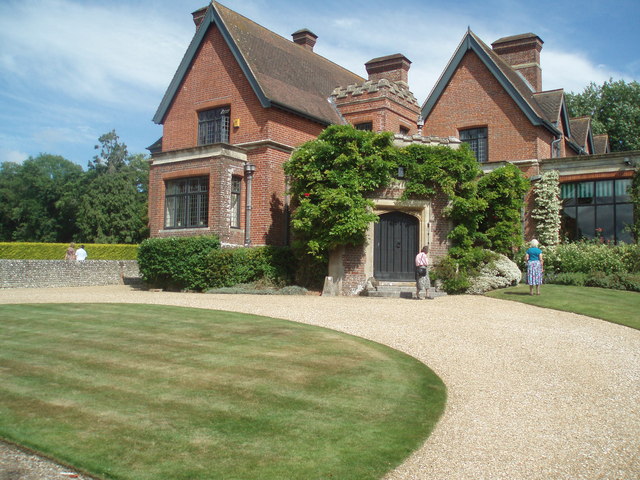
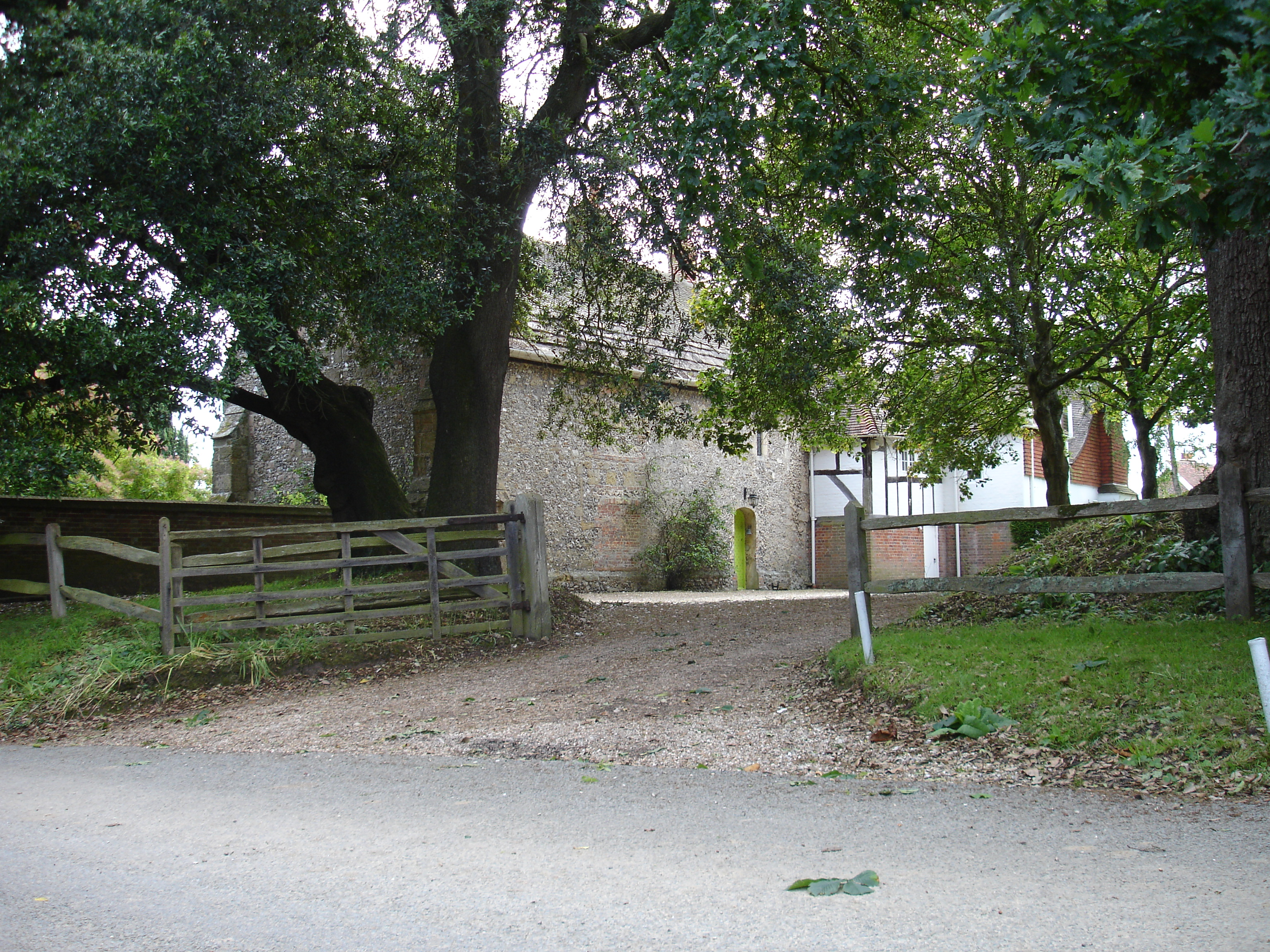
In addition to its natural wonders, New Down, Sussex offers a range of recreational activities for visitors. The region boasts numerous walking and cycling trails, allowing visitors to fully immerse themselves in the stunning surroundings. Additionally, the area is dotted with charming villages and historic sites, providing a glimpse into the region's rich cultural heritage.
Overall, New Down, Sussex is a must-visit destination for those seeking tranquility and natural beauty. Whether exploring the rolling hills of the Downs or venturing into the wilds of the moorland, visitors are sure to be captivated by the region's stunning landscapes and unique wildlife.
If you have any feedback on the listing, please let us know in the comments section below.
New Down Images
Images are sourced within 2km of 50.86217/-0.50554116 or Grid Reference TQ0508. Thanks to Geograph Open Source API. All images are credited.


New Down is located at Grid Ref: TQ0508 (Lat: 50.86217, Lng: -0.50554116)
Administrative County: West Sussex
District: Arun
Police Authority: Sussex
What 3 Words
///different.tricks.slam. Near Arundel, West Sussex
Nearby Locations
Related Wikis
Burpham
Burpham is a rural village and civil parish in the Arun District of West Sussex, England. The village is on an arm of the River Arun slightly less than...

Worthing Rural District
Worthing Rural District was a rural district in West Sussex, England from 1933 to 1974. It comprised an area to the north, west and east, but did not...
Warningcamp
Warningcamp is a village and civil parish in the Arun District of West Sussex, England. It is 1 mile (1.6 km) east of Arundel, on the east bank of the...
Poling Preceptory
Poling Preceptory was a priory in West Sussex, England. It is a Grade I listed building.. == References ==
Arundel F.C.
Arundel Football Club is a football club based in Arundel, West Sussex, England. They are currently members of the Southern Combination Division One and...
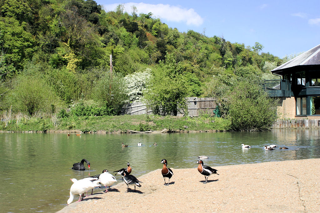
WWT Arundel
WWT Arundel is one of ten wildfowl and wetland nature reserves managed by the Wildfowl and Wetlands Trust, a nature conservation charity in the United...

Arundel railway station
Arundel railway station serves the market town of Arundel in West Sussex. The station is on the eastern side of the town, about 550 yards (500 m) from...

South Stoke, West Sussex
South Stoke is a rural village and civil parish in the Arun District of West Sussex, England. It is centred two miles (3 km) north of Arundel also on...
Nearby Amenities
Located within 500m of 50.86217,-0.50554116Have you been to New Down?
Leave your review of New Down below (or comments, questions and feedback).