Balderson's Moor
Urban Greenspace in Hertfordshire Dacorum
England
Balderson's Moor
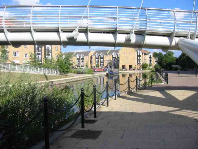
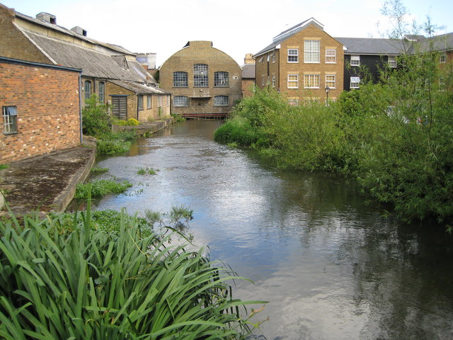
Balderson's Moor, located in Hertfordshire, England, is a picturesque urban greenspace that offers a serene escape from the hustle and bustle of city life. Spanning over a vast area, this greenspace is renowned for its natural beauty, diverse flora, and tranquil ambiance.
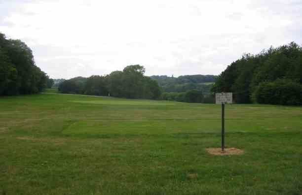
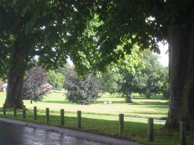
The moor is characterized by its rolling hills, open meadows, and dense woodlands, providing a haven for nature enthusiasts and outdoor lovers alike. The landscape is dotted with picturesque ponds, offering a habitat for various aquatic creatures and providing a soothing spot for visitors to relax and observe wildlife.
The greenspace boasts a rich biodiversity, with an abundance of plant and animal species calling it home. Rare wildflowers, including orchids and primroses, can be found scattered throughout the meadows, adding a splash of vibrant color to the landscape. The woodlands are inhabited by an array of bird species, making it a popular destination for birdwatchers.
Visitors can explore the moor through a network of well-maintained walking trails, allowing them to immerse themselves in the natural surroundings and discover hidden gems along the way. Picnic areas and benches are strategically placed throughout the greenspace, providing opportunities for visitors to rest and take in the breathtaking scenery.
Balderson's Moor is not just a haven for nature lovers; it also serves as an important recreational space for the local community. It offers a range of facilities, including a children's playground, sports fields, and a visitor center that provides information on the area's history and wildlife.
Overall, Balderson's Moor is a true gem in Hertfordshire, offering a harmonious blend of natural beauty, biodiversity, and recreational amenities. It provides a welcome respite for those seeking solace in nature and serves as a valuable resource for the local community.
If you have any feedback on the listing, please let us know in the comments section below.
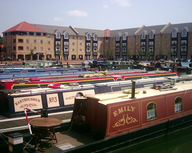
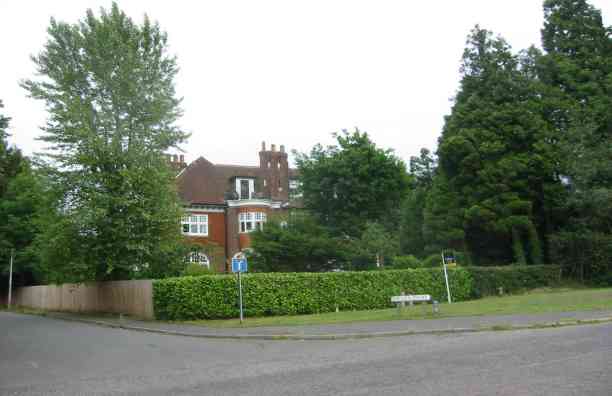
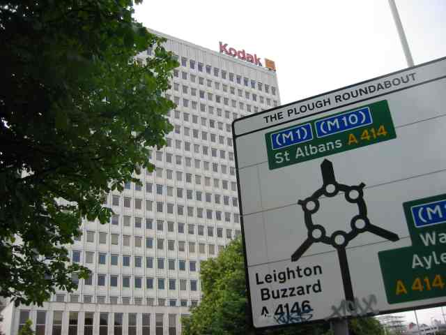
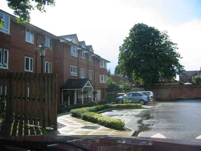
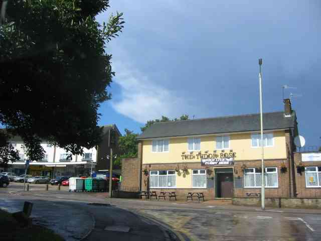
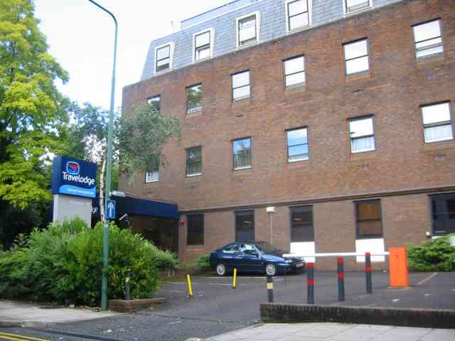
Balderson's Moor Images
Images are sourced within 2km of 51.743563/-0.47477065 or Grid Reference TL0506. Thanks to Geograph Open Source API. All images are credited.
Balderson's Moor is located at Grid Ref: TL0506 (Lat: 51.743563, Lng: -0.47477065)
Administrative County: Hertfordshire
District: Dacorum
Police Authority: Hertfordshire
What 3 Words
///fills.farms.appear. Near Hemel Hempstead, Hertfordshire
Nearby Locations
Related Wikis
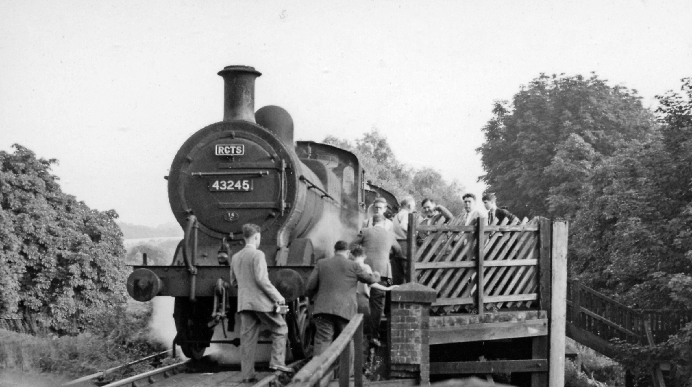
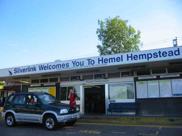
Heath Park Halt railway station
Heath Park Halt was a railway station in Hemel Hempstead, Hertfordshire in England, UK. It was the terminus for passenger services on the Nickey line,...

St John's Church, Boxmoor
The Church of St John the Evangelist is a Grade II listed church in Boxmoor, Hertfordshire, England. The church was consecrated in 1874 on land purchased...

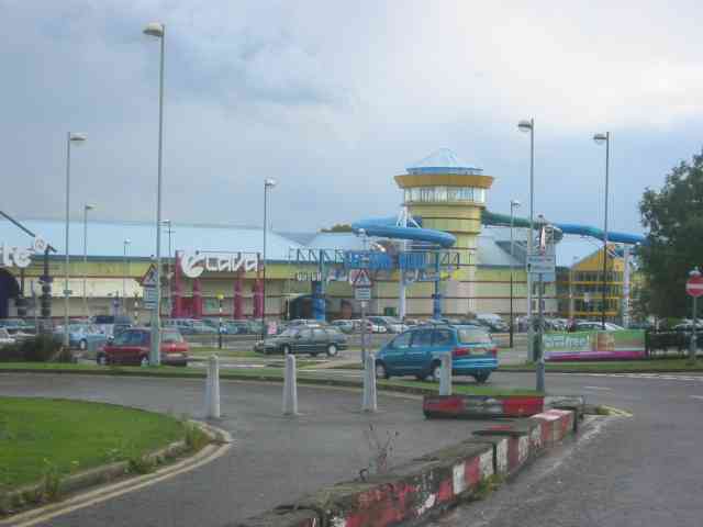
Magic Roundabout (Hemel Hempstead)
"The Magic Roundabout" in Hemel Hempstead, Hertfordshire, England, is the familiar name given to the melon Roundabout. The familiar name comes from the...

The Beacon, Hemel Hempstead
The Beacon is a 17-storey block of 272 flats planned to be built in Hemel Hempstead, Hertfordshire, England. The developer Lumiere Developments claims...

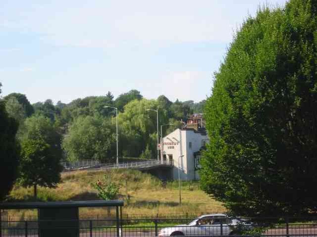
River Bulbourne
The River Bulbourne is a small river in Dacorum, Hertfordshire, England. The word bourne derives from the Anglo-Saxon word for a stream. It is an unnavigable...
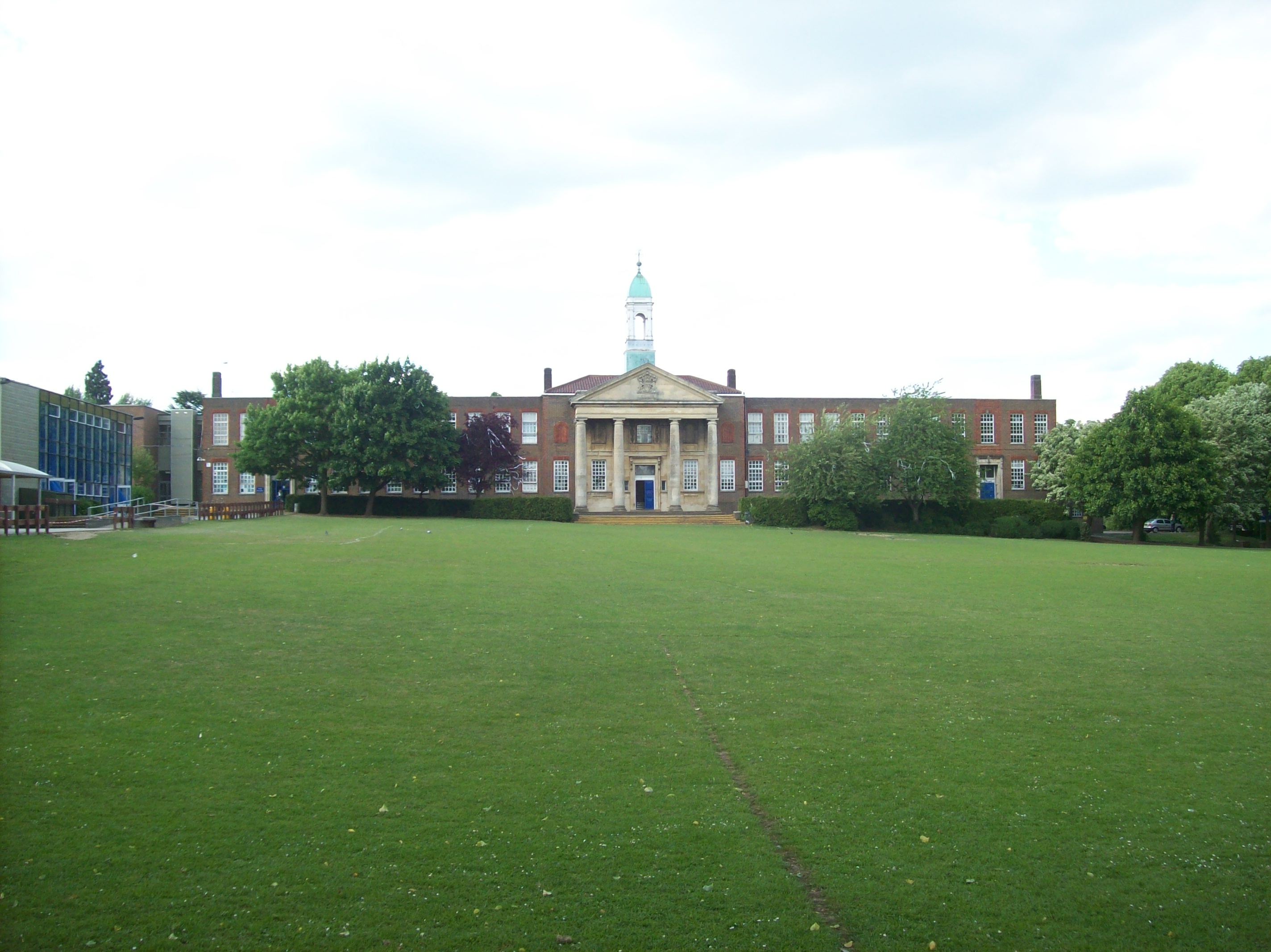
The Hemel Hempstead School
The Hemel Hempstead School is a coeducational secondary school and sixth form located in the town of Hemel Hempstead, Hertfordshire, England. == History... ==
Frogmore Paper Mill
Frogmore Paper Mill is a working paper mill situated in Apsley, Hertfordshire, near Hemel Hempstead. The mill is on an island in the River Gade, which...

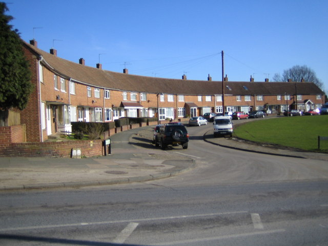
Apsley, Hertfordshire
Apsley was a 19th-century mill village in the county of Hertfordshire, England. It is a historic industrial site situated in a valley of the Chiltern Hills...
Nearby Amenities
Located within 500m of 51.743563,-0.47477065Have you been to Balderson's Moor?
Leave your review of Balderson's Moor below (or comments, questions and feedback).