Ower
Settlement in Hampshire New Forest
England
Ower
Ower is a small village located in the county of Hampshire, England. Situated on the outskirts of the New Forest National Park, it is approximately 6 miles northwest of the city of Southampton. The village is nestled along the A36 road, making it easily accessible for both residents and visitors.
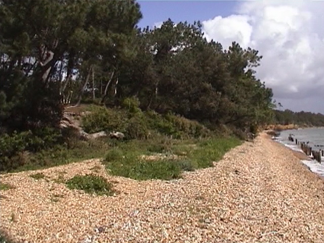
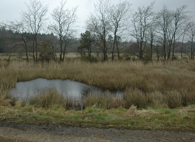
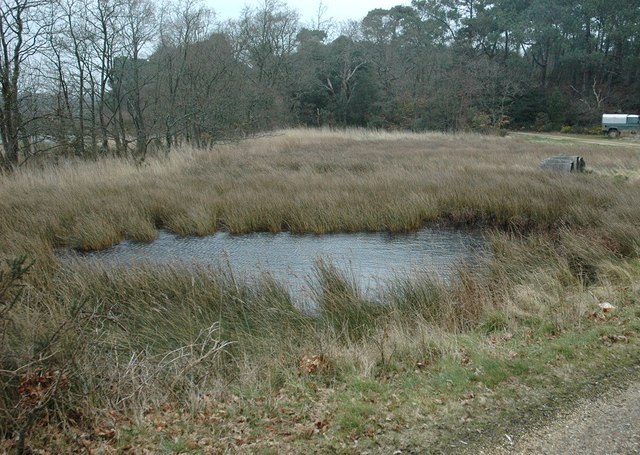
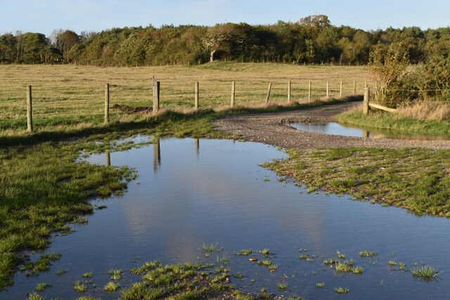
Ower is known for its picturesque countryside and tranquil surroundings. The village is surrounded by lush green fields and beautiful woodlands, offering plenty of opportunities for outdoor activities such as walking, cycling, and horse riding. The nearby Test and Itchen rivers also provide a scenic backdrop for those who enjoy fishing or boating.
The village itself has a charming and traditional character, with a mix of old cottages and modern houses. Ower is home to a close-knit community, with a village hall, a primary school, a local pub, and a handful of small businesses. The village pub, The Mortimer Arms, is a popular spot for locals and visitors alike, serving a range of food and beverages.
For those seeking amenities and entertainment beyond the village, the nearby city of Southampton offers a wide range of shops, restaurants, and cultural attractions. Southampton also provides excellent transport links, with a train station that connects to major cities such as London and Portsmouth.
Overall, Ower is a charming village that offers a peaceful and idyllic lifestyle, while still being within easy reach of larger urban areas. Its natural beauty and sense of community make it an appealing place to live or visit for those seeking a more rural setting in Hampshire.
If you have any feedback on the listing, please let us know in the comments section below.
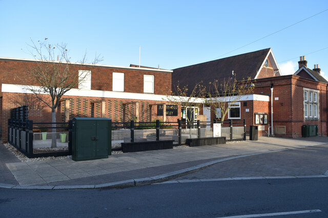
Ower Images
Images are sourced within 2km of 50.81437/-1.3309439 or Grid Reference SU4701. Thanks to Geograph Open Source API. All images are credited.


Ower is located at Grid Ref: SU4701 (Lat: 50.81437, Lng: -1.3309439)
Administrative County: Hampshire
District: New Forest
Police Authority: Hampshire
What 3 Words
///duplicate.herb.paving. Near Hamble-le-Rice, Hampshire
Nearby Locations
Related Wikis

Fawley Power Station
Fawley Power Station was an oil-fired power station located on the western side of Southampton Water, between the villages of Fawley and Calshot in Hampshire...

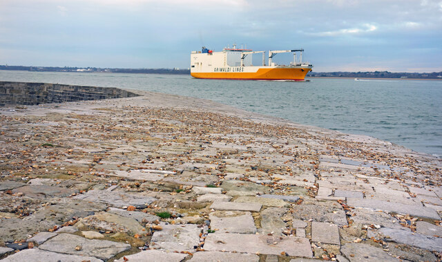
Calshot
Calshot is a coastal village in Hampshire, England, at the west corner of Southampton Water where it joins the Solent. == History == In 1539, Henry VIII...

Ashlett
Ashlett is a small settlement in Hampshire, England. It is in the civil parish of Fawley. It is at the end of Ashlett Creek, a tidal inlet of Southampton...

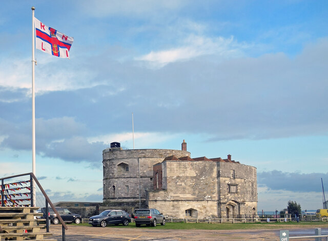
Luttrell's Tower
Luttrell's Tower is a three-storey stuccoed yellow brick folly south of Southampton, Hampshire, England, near the village of Calshot. It has a six-storey...

Calshot Marshes
Calshot Marshes is a 51.1-hectare (126-acre) Local Nature Reserve near Calshot, at the junction of The Solent and Southampton Water in Hampshire. It is...

Calshot Activities Centre
Calshot Activities Centre is located on Calshot Spit near Southampton. Indoor facilities include the oldest indoor velodrome in Britain, a dry ski slope...

RNAS Calshot
RNAS Calshot was a First World War Royal Navy air station for seaplanes and flying boats, mainly operating as an experimental and training station, but...
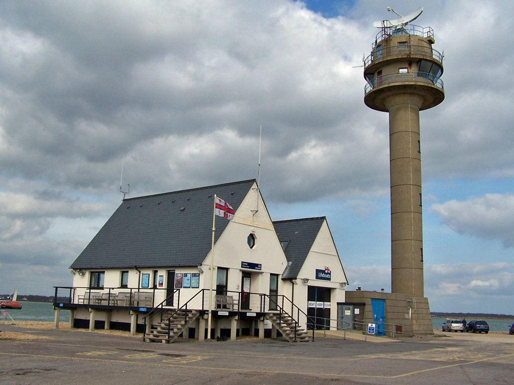
Calshot Lifeboat Station
Calshot Lifeboat Station is located on Calshot Spit near the village of Calshot, Hampshire, and is on the southern bank of the open end of Southampton...
Nearby Amenities
Located within 500m of 50.81437,-1.3309439Have you been to Ower?
Leave your review of Ower below (or comments, questions and feedback).