Owlhill

Settlement in Worcestershire Wychavon

England

Owlhill

Farmland north of Ombersley Flat meadows as far as the eye can see
Farmland north of Ombersley Credit: Eirian Evans

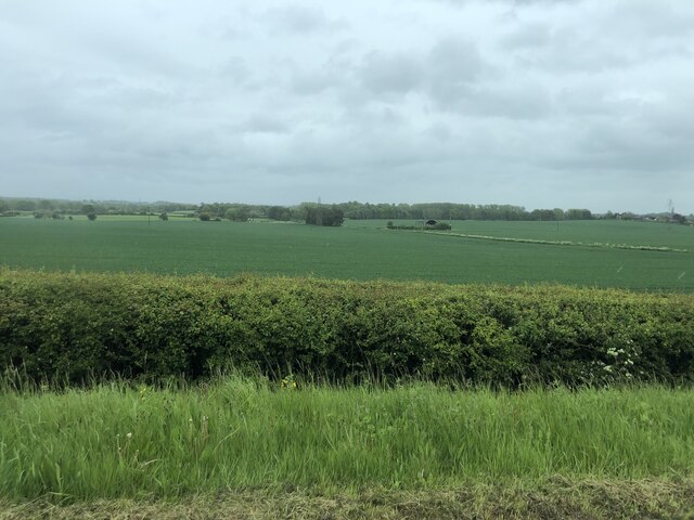
Owlhill is a small village located in the county of Worcestershire, in the West Midlands region of England. Situated approximately 5 miles southwest of the town of Worcester, Owlhill is nestled in a picturesque countryside setting, surrounded by rolling hills and lush green fields.

The village is known for its tranquil and idyllic atmosphere, making it a popular destination for those seeking a peaceful retreat away from the hustle and bustle of city life. Owlhill is characterized by its charming cottages built from local stone, giving the village a quaint and traditional feel.

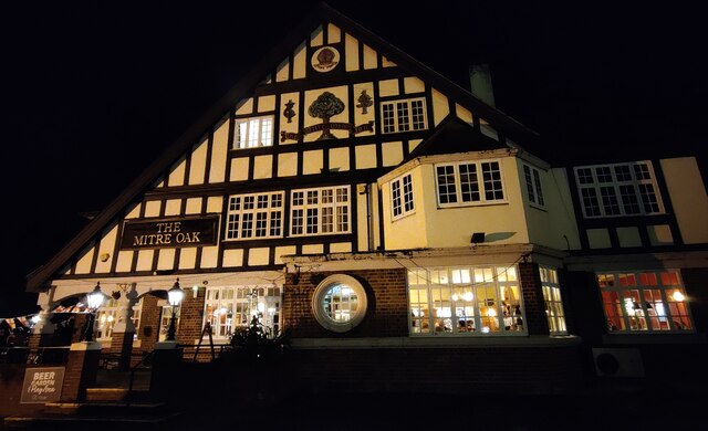
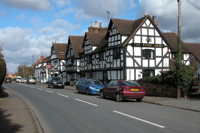
Despite its small size, Owlhill offers a range of amenities to its residents and visitors. The village boasts a local pub, The Owl and Hound, which serves traditional English cuisine and is a gathering place for locals. Additionally, there is a village hall that hosts various community events, such as fairs and social gatherings.

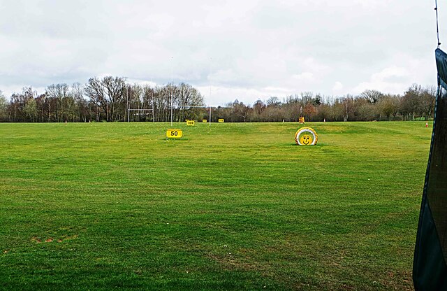
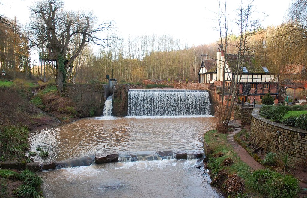
Nature enthusiasts will find Owlhill to be a haven for outdoor activities. The surrounding countryside provides ample opportunities for hiking, cycling, and birdwatching. The nearby River Severn also offers opportunities for fishing and boating.

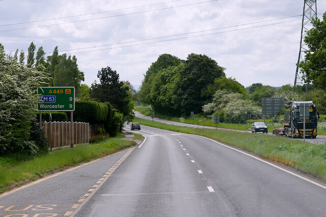
While Owlhill may be a peaceful village, it is conveniently located near larger towns and cities. The city of Worcester is easily accessible and offers a wider range of amenities, including shopping centers, restaurants, and cultural attractions.

In summary, Owlhill, Worcestershire is a charming and serene village nestled in the heart of the English countryside. With its picturesque setting and range of amenities, it offers a tranquil retreat for those looking to escape the hustle and bustle of everyday life.

If you have any feedback on the listing, please let us know in the comments section below.

Owlhill Images

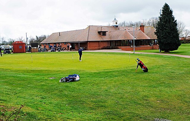
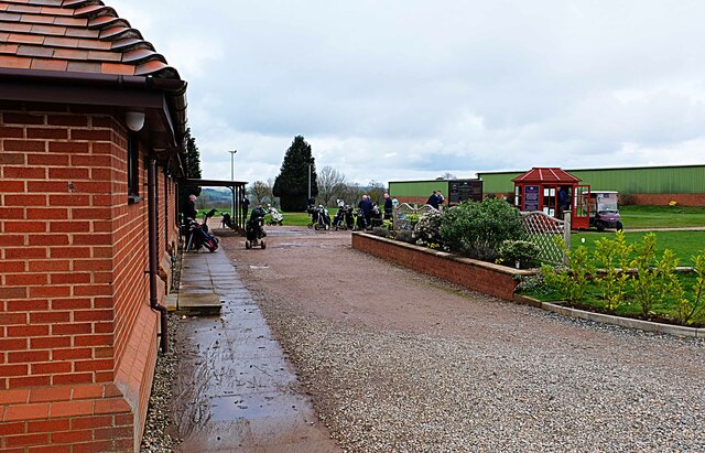
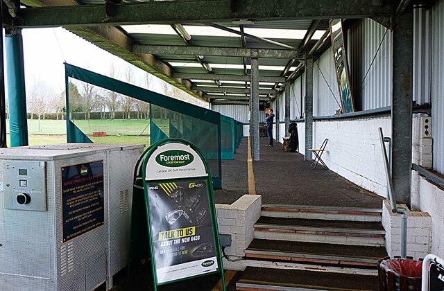
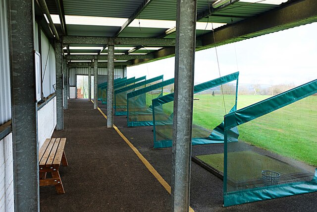
Images are sourced within 2km of 52.297485/-2.2372402 or Grid Reference SO8366. Thanks to Geograph Open Source API. All images are credited.

Farmland north of Ombersley Flat meadows as far as the eye can see
Farmland north of Ombersley
Flat meadows as far as the eye can see
The Mitre Oak Inn A large Marston's food pub along the A449 Worcester Road at Crossway Green.
The Mitre Oak Inn
A large Marston's food pub along the A449 Worcester Road at Crossway Green.
Ombersley Golf Club Clubhouse (1), Bishops Wood Road, near Ombersley, Worcs The club was developed by a local farming family who continue to run it. The course opened in late 1991. The impressive Clubhouse includes a bar and restaurant which is open to the public, including those who do not play golf.  There is a large car park in front with access from Bishops Wood Road.

<a href="https://www.geograph.org.uk/photo/7436394">SO8267 : Ombersley Golf Club Clubhouse (2), Bishops Wood Road, near Ombersley, Worcs</a>.
Ombersley Golf Club Clubhouse (1), Bishops Wood Road, near Ombersley, Worcs
The club was developed by a local farming family who continue to run it. The course opened in late 1991. The impressive Clubhouse includes a bar and restaurant which is open to the public, including those who do not play golf. There is a large car park in front with access from Bishops Wood Road. SO8267 : Ombersley Golf Club Clubhouse (2), Bishops Wood Road, near Ombersley, Worcs.
Plough in front of Clubhouse, Ombersley Golf Club, near Ombersley, Worcs The Ombersley Golf Club is located in a very rural area and on former farmland. The plough is a symbol of this.

<a href="https://www.geograph.org.uk/photo/7436273">SO8367 : Ombersley Golf Club Clubhouse (1), Bishops Wood Road, near Ombersley, Worcs</a>.
<a href="https://www.geograph.org.uk/photo/7436394">SO8267 : Ombersley Golf Club Clubhouse (2), Bishops Wood Road, near Ombersley, Worcs</a>.
Plough in front of Clubhouse, Ombersley Golf Club, near Ombersley, Worcs
The Ombersley Golf Club is located in a very rural area and on former farmland. The plough is a symbol of this. SO8367 : Ombersley Golf Club Clubhouse (1), Bishops Wood Road, near Ombersley, Worcs. SO8267 : Ombersley Golf Club Clubhouse (2), Bishops Wood Road, near Ombersley, Worcs.
Ombersley Golf Club Clubhouse (2), Bishops Wood Road, near Ombersley, Worcs The clubhouse includes a bar and restaurant and an extensively stocked golf shop.

<a href="https://www.geograph.org.uk/photo/7436273">SO8367 : Ombersley Golf Club Clubhouse (1), Bishops Wood Road, near Ombersley, Worcs</a>.
Ombersley Golf Club Clubhouse (2), Bishops Wood Road, near Ombersley, Worcs
The clubhouse includes a bar and restaurant and an extensively stocked golf shop. SO8367 : Ombersley Golf Club Clubhouse (1), Bishops Wood Road, near Ombersley, Worcs.
Path by Ombersley Golf Course Clubhouse to Driving Range, near Ombersley, Worcs The path leads to the Driving Range, which is the green building in the distance.
Path by Ombersley Golf Course Clubhouse to Driving Range, near Ombersley, Worcs
The path leads to the Driving Range, which is the green building in the distance.
Golf buggies at Ombersley Golf Club, Bishops Wood Road, near Ombersley, Worcs Golf buggies (a.k.a. golf carts) parked near the Clubhouse.
Golf buggies at Ombersley Golf Club, Bishops Wood Road, near Ombersley, Worcs
Golf buggies (a.k.a. golf carts) parked near the Clubhouse.
Driving range (1) at Ombersley Golf Course, near Ombersley, Worcs The driving range is a facility where golfers can practice their golf swing.

<a href="https://www.geograph.org.uk/photo/7437813">SO8267 : Driving range (2) at Ombersley Golf Course, near Ombersley, Worcs</a>.
<a href="https://www.geograph.org.uk/photo/7439298">SO8267 : Area in front of Driving Range, Ombersley Golf Course, near Ombersley, Worcs</a>.
Driving range (1) at Ombersley Golf Course, near Ombersley, Worcs
Driving range (2) at Ombersley Golf Course, near Ombersley, Worcs Part of the covered driving range at Ombersley Golf Club.

See also:-  <a href="https://www.geograph.org.uk/photo/7437795">SO8267 : Driving range (1) at Ombersley Golf Course, near Ombersley, Worcs</a>.
Driving range (2) at Ombersley Golf Course, near Ombersley, Worcs
Part of the covered driving range at Ombersley Golf Club. See also:- SO8267 : Driving range (1) at Ombersley Golf Course, near Ombersley, Worcs.
Area in front of Driving Range, Ombersley Golf Course, near Ombersley, Worcs The balls from the Driving Range land in this area, which was photographed from the Range. Looking at the photograph enlarged, there are dozens and dozens of balls which at some stage, after play, would have to be collected.

<a href="https://www.geograph.org.uk/photo/7437795">SO8267 : Driving range (1) at Ombersley Golf Course, near Ombersley, Worcs</a>.
Area in front of Driving Range, Ombersley Golf Course, near Ombersley, Worcs
The balls from the Driving Range land in this area, which was photographed from the Range. Looking at the photograph enlarged, there are dozens and dozens of balls which at some stage, after play, would have to be collected. SO8267 : Driving range (1) at Ombersley Golf Course, near Ombersley, Worcs.
A449 near Crossway Green
A449 Southbound near Acton
MPK Dunhampton Service Station, Worcester Road
A449, Kidderminster Road near Ombersley
Layby on Worcester Road (A449) near Ombersley
Uphampton The Fruiterers public house, home of Canon Royal beers. The brewery is attached to the pub!
Uphampton
The Fruiterers public house, home of Canon Royal beers. The brewery is attached to the pub!
Ploughed field at near Lineholt Hidden from view in the bottom of the valley is the river Severn, the wood beyond is Shrawley Wood.
Ploughed field at near Lineholt
Hidden from view in the bottom of the valley is the river Severn, the wood beyond is Shrawley Wood.
Wyneyards, Lineholt
Wyneyards, Lineholt
Show me another place!

Owlhill is located at Grid Ref: SO8366 (Lat: 52.297485, Lng: -2.2372402)

Administrative County: Worcestershire

District: Wychavon

Police Authority: West Merica

What 3 Words

///spike.overture.rebel. Near Hartlebury, Worcestershire

Nearby Locations

Owlhill

Related Wikis

Dunhampton

Dunhampton is a village in Worcestershire, England.

Crossway Green

Crossway Green is a village in Worcestershire, England.

Ombersley and Doverdale

Ombersley and Doverdale is an area in Wychavon district, Worcestershire, England served by a single parish council but comprising the two separate civil...

Snead's Green

Snead's Green, sometimes written Sneads Green, is an area of Droitwich Spa, Worcestershire, England.Francis Moule, of Snead's Green House, sold the manorial...

Dick Brook

Dick Brook is small tributary stream of the River Severn that flows through Worcestershire, England.The brook is formed from two small unnamed streams...

Ombersley

Ombersley is a village and civil parish in Wychavon district, in the county of Worcestershire, England. The parish includes the hamlet of Holt Fleet,...

Doverdale

Doverdale is a small village and civil parish in Worcestershire, England, to the west of Droitwich. It has a parish church. Doverdale Manor is one of largest...

Cutnall Green Halt railway station

Cutnall Green Halt was a railway station in Worcestershire, England, serving the nearby village of Hampton Lovett on the Oxford, Worcester and Wolverhampton...

Nearby Amenities

Located within 500m of 52.297485,-2.2372402
Comhampton
Place: hamlet
Lat/Long: 52.3008508/-2.2372675
Owlhill
Place: hamlet
Lat/Long: 52.298075/-2.2380649
Power: tower
Lat/Long: 52.2935904/-2.2353895
Power: tower
Lat/Long: 52.2984286/-2.2396624
Power: tower
Lat/Long: 52.3005444/-2.2416039
Power: tower
Lat/Long: 52.2958291/-2.2373586
Comhampton
Power: pole
Transformer: distribution
Voltage Primary: 11000
Lat/Long: 52.299748/-2.2364393
Power: pole
Lat/Long: 52.299317/-2.2363736
Power: pole
Lat/Long: 52.298886/-2.2363139
Owl Hill
Power: pole
Transformer: distribution
Voltage Primary: 11000
Lat/Long: 52.2984702/-2.2362529
Power: pole
Lat/Long: 52.298047/-2.2357479
Power: pole
Lat/Long: 52.294729/-2.2329819
Brookhampton Farm Ombersley
Power: pole
Transformer: distribution
Voltage Primary: 11000
Lat/Long: 52.2955984/-2.2336008
Power: pole
Lat/Long: 52.2964715/-2.2342198
Power: pole
Lat/Long: 52.2971924/-2.2347334
Power: pole
Lat/Long: 52.2976579/-2.2352833
Power: pole
Lat/Long: 52.2978428/-2.2345825
Power: pole
Lat/Long: 52.2977985/-2.2337289
Power: pole
Lat/Long: 52.2977563/-2.2328632
Power: pole
Lat/Long: 52.2977022/-2.2315409
Power: pole
Lat/Long: 52.2972429/-2.2304412
The data included in this document is from www.openstreetmap.org. The data is made available under ODbL.

Have you been to Owlhill?

Leave your review of Owlhill below (or comments, questions and feedback).