Overy
Settlement in Oxfordshire South Oxfordshire
England
Overy
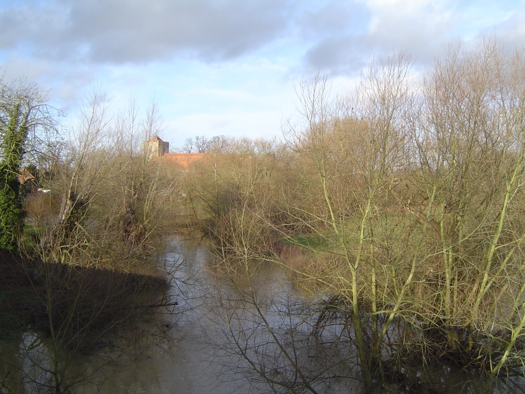
Overy is a small village located in the county of Oxfordshire, England. Situated just a few miles northwest of the market town of Bampton, Overy is nestled in a picturesque countryside setting. The village is surrounded by rolling green hills, meadows, and charming farmland, offering residents and visitors a tranquil and idyllic atmosphere.
With a population of around 500 people, Overy is a close-knit community that prides itself on its rich history and heritage. The village has a well-preserved medieval church, St. Mary's, which dates back to the 13th century and is a prominent landmark in the area. The church features stunning architectural details, including a beautiful stained glass window.
Overy may be small in size, but it boasts a vibrant community spirit. The village has a local pub, The Red Lion, which serves as a hub for socializing and offers a warm welcome to both residents and visitors alike. The pub often hosts events such as live music nights, quiz nights, and community gatherings, fostering a sense of togetherness.
Surrounded by natural beauty, Overy offers plenty of opportunities for outdoor activities. The village is located near the Thames Path, a scenic walking route that follows the River Thames, providing stunning views of the countryside. Additionally, nearby attractions such as the Cotswolds and the historic city of Oxford are easily accessible, offering further recreational and cultural opportunities.
All in all, Overy is a charming village that combines a rich history, stunning natural surroundings, and a strong sense of community. It is a place where residents and visitors can enjoy the tranquility of rural England while being within reach of larger towns and cities.
If you have any feedback on the listing, please let us know in the comments section below.
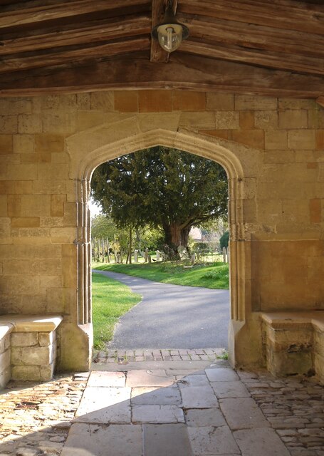
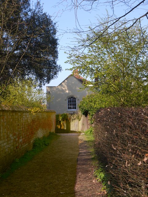
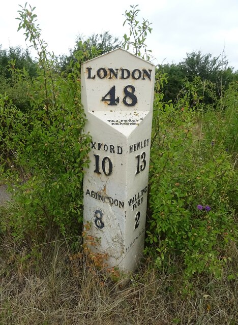
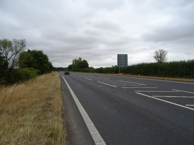
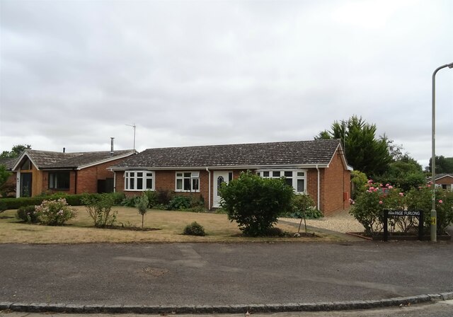
Overy Images
Images are sourced within 2km of 51.641606/-1.1598085 or Grid Reference SU5893. Thanks to Geograph Open Source API. All images are credited.


Overy is located at Grid Ref: SU5893 (Lat: 51.641606, Lng: -1.1598085)
Administrative County: Oxfordshire
District: South Oxfordshire
Police Authority: Thames Valley
What 3 Words
///dirt.measure.mixing. Near Benson, Oxfordshire
Related Wikis
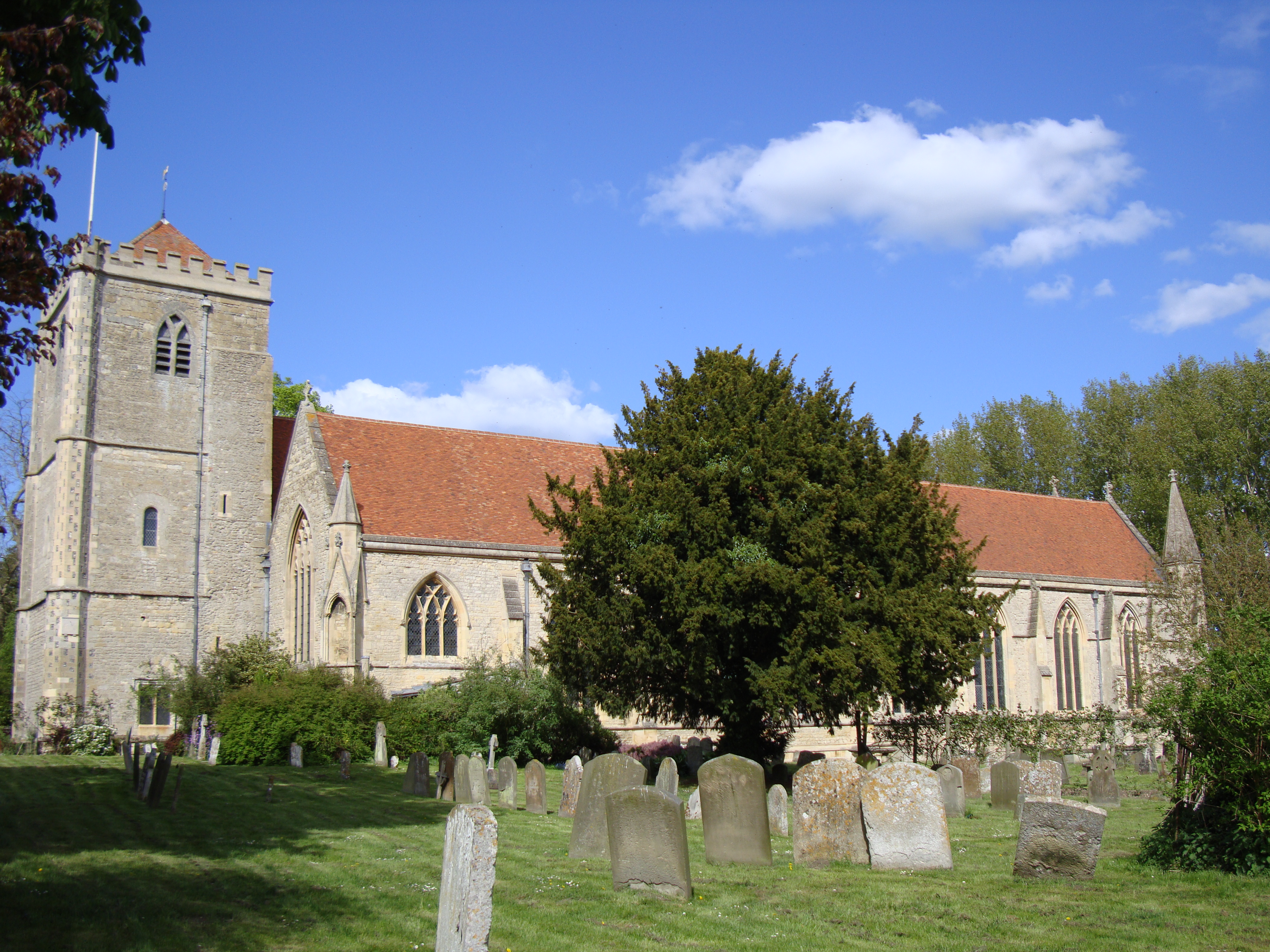
Dorchester Abbey
The Abbey Church of St Peter and St Paul, more usually called Dorchester Abbey, is a Church of England parish church in Dorchester on Thames, Oxfordshire...
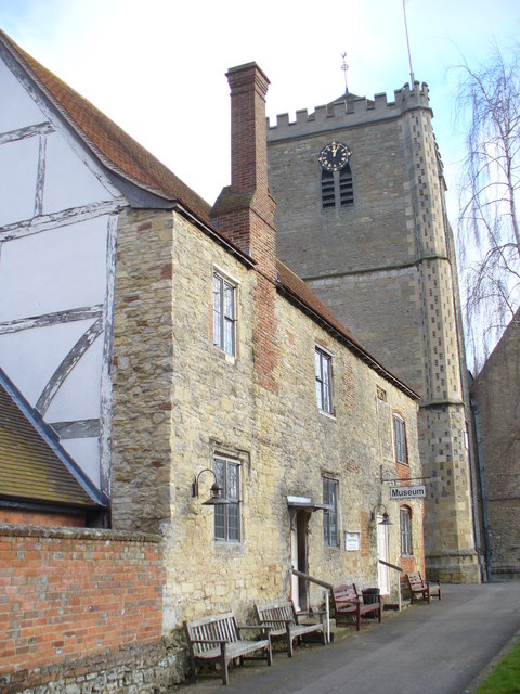
Dorchester Abbey Museum
Dorchester Abbey Museum is a local museum in the town of Dorchester, Oxfordshire, England. It is attached to Dorchester Abbey. The museum occupies two...
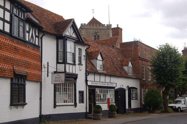
Dorchester on Thames
Dorchester on Thames (or Dorchester-on-Thames) is a village and civil parish in Oxfordshire, about 3 miles (5 km) northwest of Wallingford and 8 miles...
River Thame
The River Thame is a river in Southern England. A tributary of the River Thames, the river runs generally south-westward for about 40 mi (64 km) from...

Day's Lock
Day's Lock is a lock on the River Thames near Dorchester-on-Thames, Oxfordshire, England on the Dorchester side of the river. The pound lock was built...

Little Wittenham Bridge
Little Wittenham Bridge is a footbridge across the River Thames in England near Dorchester-on-Thames, Oxfordshire. It is just downstream of Day's Lock...

Little Wittenham SSSI
Little Wittenham SSSI is a 68.9-hectare (170-acre) biological Site of Special Scientific Interest north-east of Didcot in Oxfordshire. It is also a Special...

Warborough
Warborough is a village and civil parish in South Oxfordshire, about 2.5 miles (4 km) north of Wallingford and about 9 miles (14 km) south of Oxford. The...
Nearby Amenities
Located within 500m of 51.641606,-1.1598085Have you been to Overy?
Leave your review of Overy below (or comments, questions and feedback).