Hillhead
Settlement in Hampshire New Forest
England
Hillhead
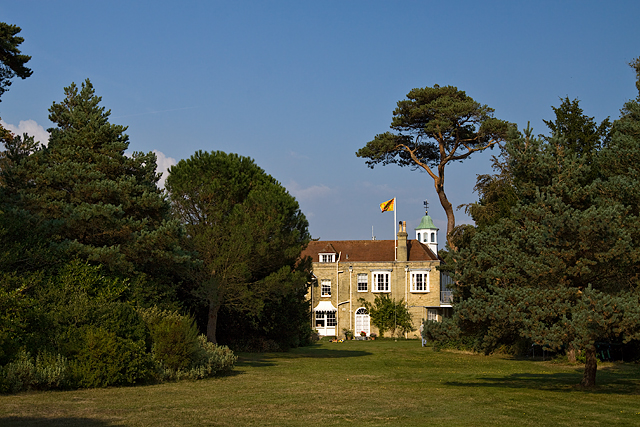
Hillhead is a small village located in Hampshire, a county in southern England. Situated on the coast, it lies between the larger towns of Gosport and Lee-on-the-Solent. The village has a population of around 3,000 residents.
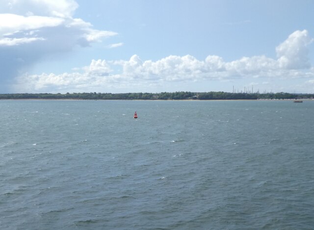
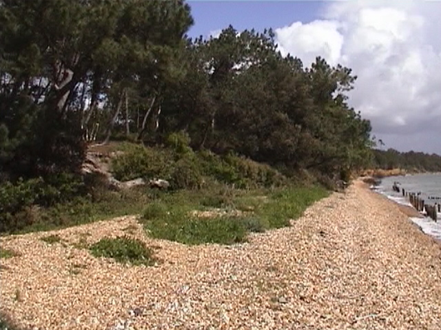
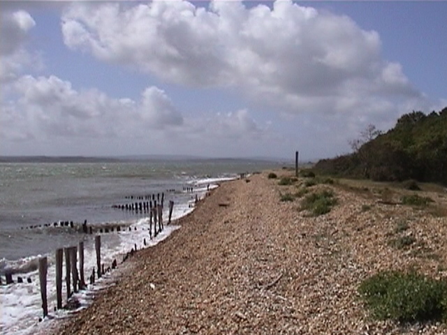
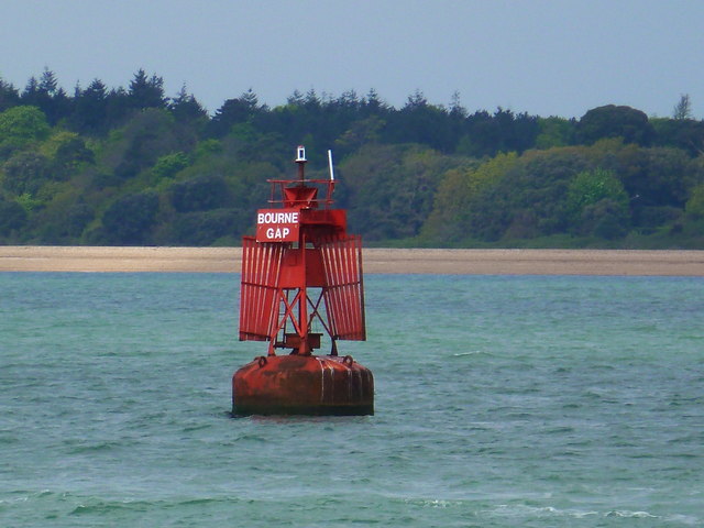
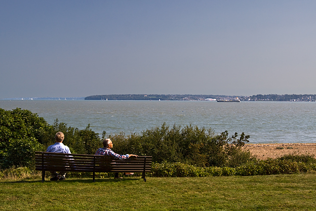
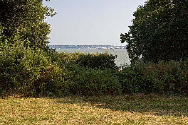
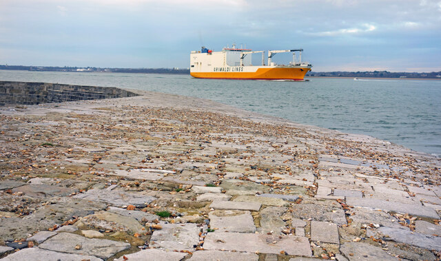
Hillhead is known for its picturesque setting, with stunning views of the Solent and the Isle of Wight. The village is surrounded by beautiful countryside, making it a popular destination for nature lovers and outdoor enthusiasts. The nearby Titchfield Haven National Nature Reserve is a haven for birdwatchers, with a wide variety of species that can be spotted throughout the year.
Despite its small size, Hillhead offers a range of amenities for its residents and visitors. The village boasts a handful of local shops, including a post office, convenience store, and several independent businesses. There are also a few pubs and restaurants, providing a selection of dining options.
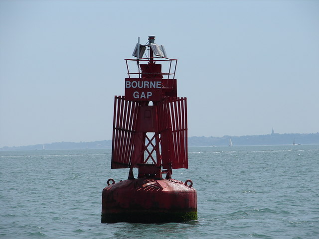
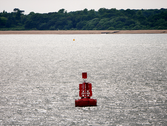
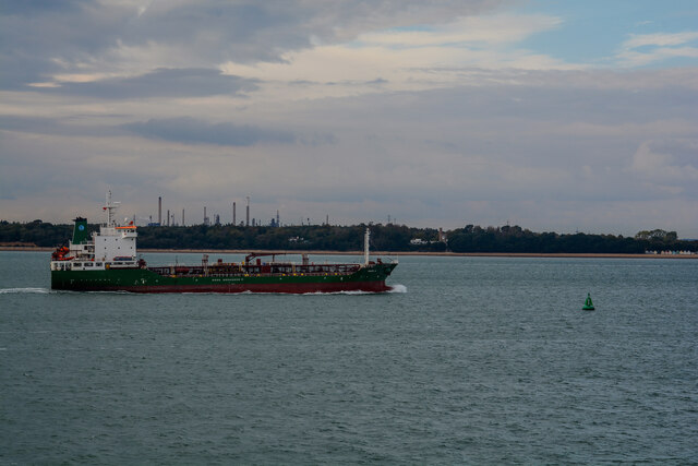
Hillhead's coastal location makes it a haven for water sports enthusiasts. The village has a sailing club and a yacht club, attracting sailors from far and wide. The beach is popular with families and sun-seekers during the summer months, offering a place to relax and enjoy the seaside atmosphere.
Overall, Hillhead is a charming village with a strong sense of community and a beautiful natural environment. Its coastal location and range of amenities make it an appealing place to live and visit.
If you have any feedback on the listing, please let us know in the comments section below.
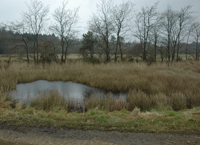
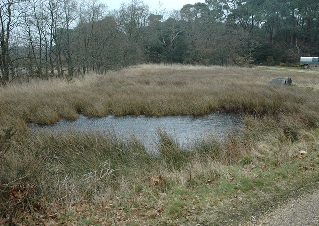
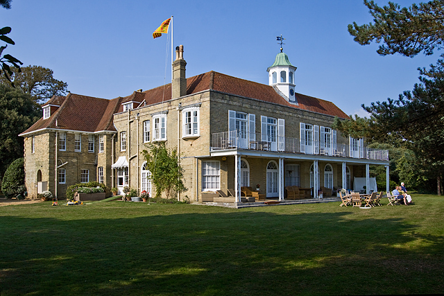
Hillhead Images
Images are sourced within 2km of 50.809723/-1.3219267 or Grid Reference SU4701. Thanks to Geograph Open Source API. All images are credited.

Hillhead is located at Grid Ref: SU4701 (Lat: 50.809723, Lng: -1.3219267)
Administrative County: Hampshire
District: New Forest
Police Authority: Hampshire
What 3 Words
///mashing.taller.register. Near Cowes, Isle of Wight
Nearby Locations
Related Wikis

Calshot
Calshot is a coastal village in Hampshire, England, at the west corner of Southampton Water where it joins the Solent. == History == In 1539, Henry VIII...

Luttrell's Tower
Luttrell's Tower is a three-storey stuccoed yellow brick folly south of Southampton, Hampshire, England, near the village of Calshot. It has a six-storey...

Fawley Power Station
Fawley Power Station was an oil-fired power station located on the western side of Southampton Water, between the villages of Fawley and Calshot in Hampshire...

Calshot Marshes
Calshot Marshes is a 51.1-hectare (126-acre) Local Nature Reserve near Calshot, at the junction of The Solent and Southampton Water in Hampshire. It is...

Calshot Spit
Calshot Spit is a one-mile long sand and shingle bank, near the village of Calshot, located on the southern bank of the open end of Southampton Water,...

Calshot Activities Centre
Calshot Activities Centre is located on Calshot Spit near Southampton. Indoor facilities include the oldest indoor velodrome in Britain, a dry ski slope...

RNAS Calshot
RNAS Calshot was a First World War Royal Navy air station for seaplanes and flying boats, mainly operating as an experimental and training station, but...
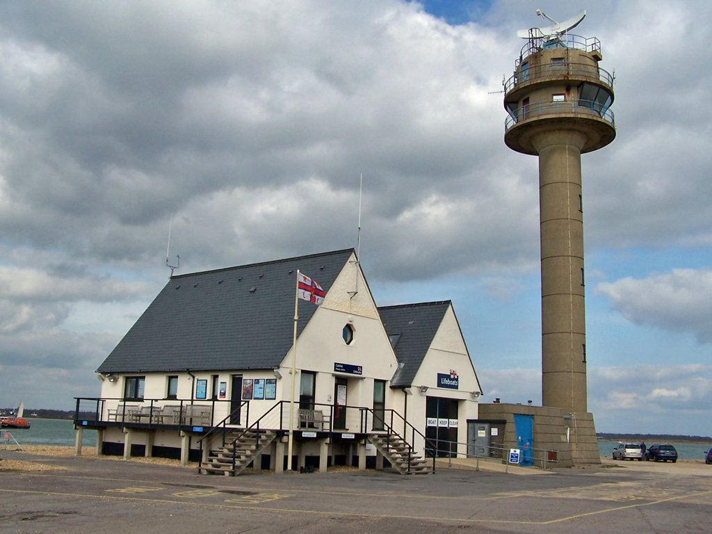
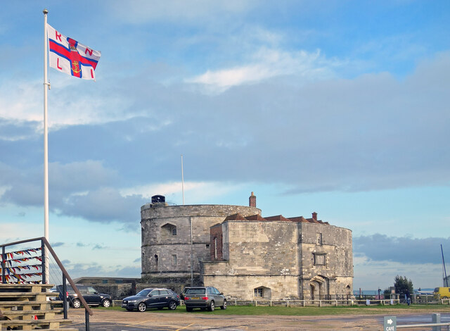
Calshot Lifeboat Station
Calshot Lifeboat Station is located on Calshot Spit near the village of Calshot, Hampshire, and is on the southern bank of the open end of Southampton...
Related Videos

Walking around Calshot Castle
Calshot Castle was built by Henry VIII as an artillery fort in 1539, as part defences along the English south coast.

What to do with your shoes when outdoor swimming
Addressing the conundrum of what to do with your shoes when outdoor swimming, we look at footwear to, from and during the ...


CALSHOT👀
Very nice walk with a cafe and beach and plenty of space for parking and loads of room for large Motorhome parking ○Calshot ...
Nearby Amenities
Located within 500m of 50.809723,-1.3219267Have you been to Hillhead?
Leave your review of Hillhead below (or comments, questions and feedback).