North Earlham
Settlement in Norfolk Norwich
England
North Earlham
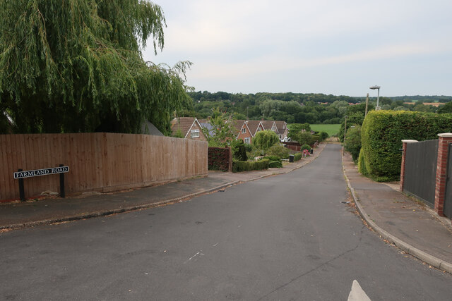
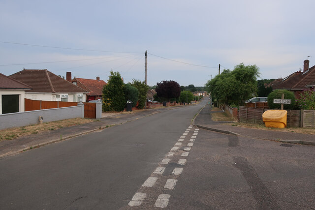
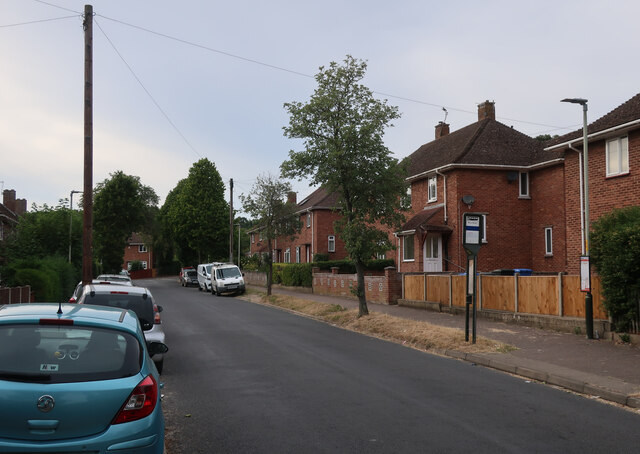
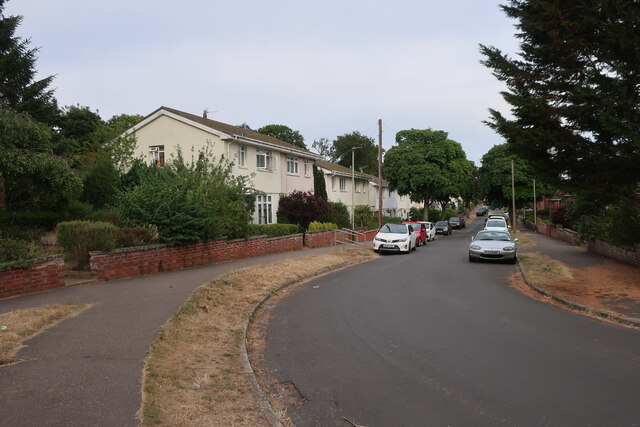
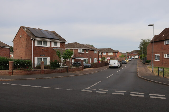
North Earlham is a suburban area located in the western outskirts of Norwich, Norfolk, England. It is situated approximately 4 miles from the city center and falls within the parliamentary constituency of Norwich South. The area is primarily residential, featuring a mix of detached and semi-detached houses, as well as some apartment complexes.
North Earlham benefits from its proximity to the University of East Anglia, which is just a short distance away, making it a popular residential choice for students and faculty. The area also offers easy access to the Norfolk and Norwich University Hospital, which is located nearby.
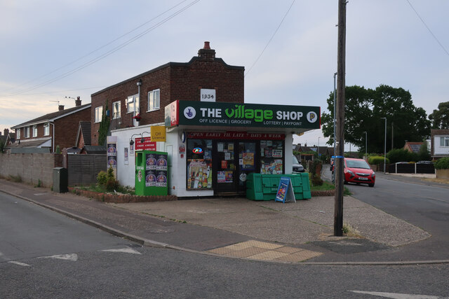
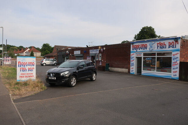
Amenities in North Earlham include a local convenience store, a post office, and several small businesses, providing residents with their daily essentials. For a wider range of shopping options, residents can easily access the city center, where there are numerous retail outlets, restaurants, and entertainment venues.
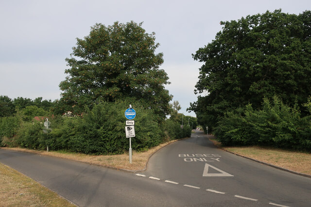
The area is well-connected by public transport, with regular bus services operating to and from the city center. Additionally, the A47, a major road that connects Norwich with the rest of the country, runs close to North Earlham, providing convenient access for those commuting by car.
North Earlham is surrounded by green spaces, including Earlham Park, which offers opportunities for leisurely walks and outdoor activities. The area is also home to several schools, making it an attractive choice for families with children.
Overall, North Earlham provides a peaceful residential environment with easy access to essential amenities and nearby institutions, making it a desirable place to live in Norfolk.
If you have any feedback on the listing, please let us know in the comments section below.
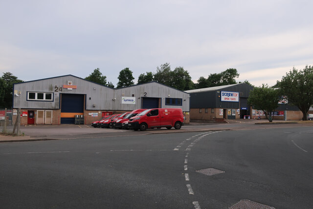
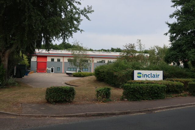
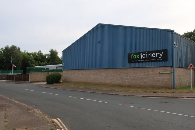
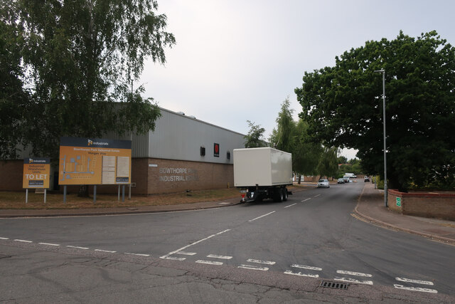
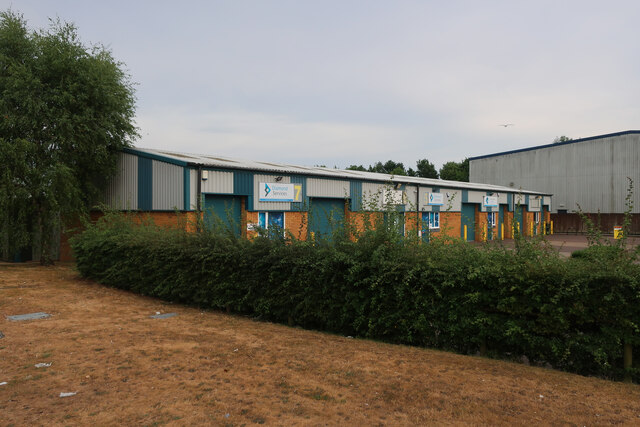
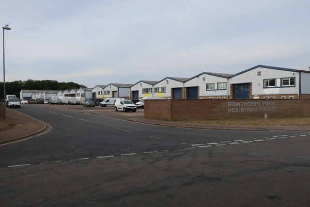
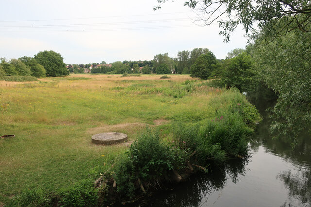
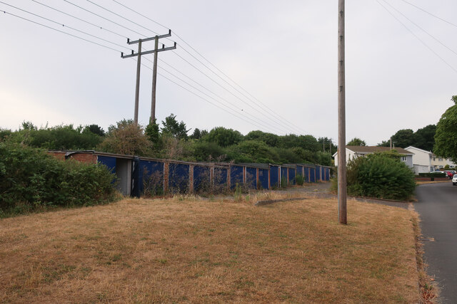
North Earlham Images
Images are sourced within 2km of 52.637006/1.2396058 or Grid Reference TG1909. Thanks to Geograph Open Source API. All images are credited.
North Earlham is located at Grid Ref: TG1909 (Lat: 52.637006, Lng: 1.2396058)
Administrative County: Norfolk
District: Norwich
Police Authority: Norfolk
What 3 Words
///preoccupied.remote.monkey. Near Bowthorpe, Norfolk
Nearby Locations
Related Wikis

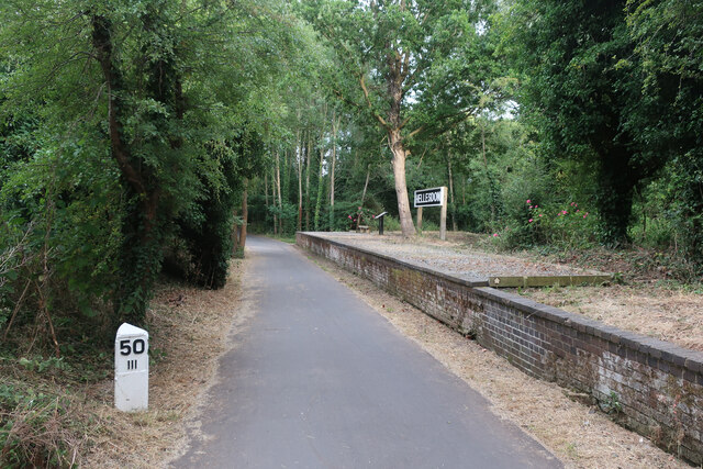
Hellesdon railway station
Hellesdon railway station is a former railway station in Norfolk, England, which served the area of Hellesdon, today virtually an outer suburb of Norwich...

The Gatehouse, Norwich
The Gatehouse is a Grade II listed public house in Norwich, England. It was built in 1934 for the Norwich-based Morgans Brewery, and replaced a 19th-century...
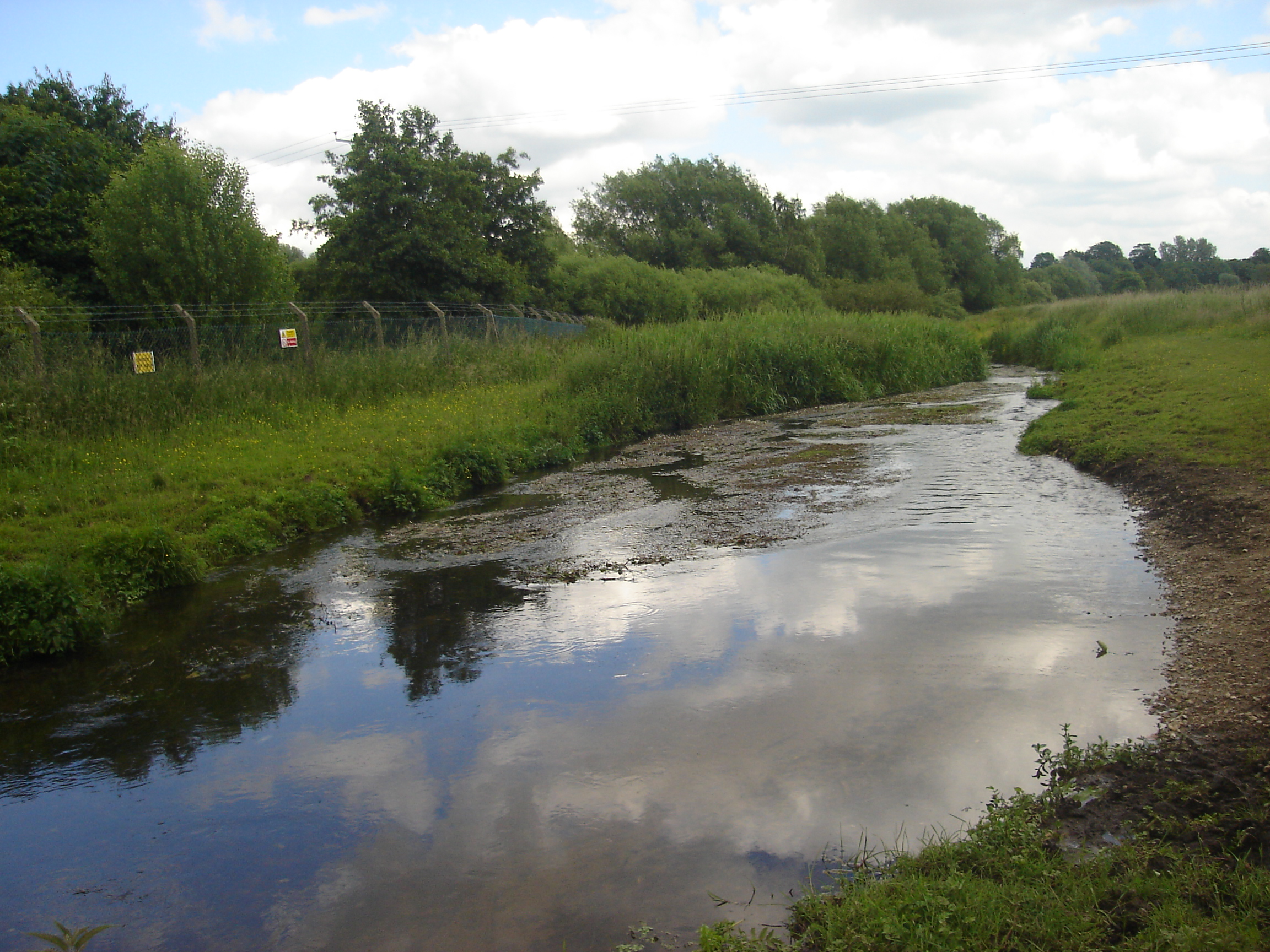
River Tud
River Tud is a tributary of the River Wensum, Norfolk in the East of England. The Tud's source is just south of East Dereham and it flows in an easterly...
City Academy Norwich
City Academy Norwich is a secondary school in Norwich, England. It opened in September 2009, replacing Earlham High School. It is located near the University...

Earlham Hall
Earlham Hall is a country house in Norfolk, England. It is located just to the west of the city of Norwich, on Earlham Road, on the outskirts of the village...

Norwich CBS F.C.
Norwich CBS Football Club is a football club based in Norwich, England. They are currently members of the Eastern Counties League Division One North and...

Norwich Community Hospital
Norwich Community Hospital is a healthcare facility in Bowthorpe Road, Norwich, Norfolk, England. It is managed by Norfolk Community Health and Care NHS...

Bowthorpe Marsh
Bowthorpe Marsh is a 5.9-hectare (15-acre) Local Nature Reserve in Norwich in Norfolk. It is owned and managed by Norwich City Council.This site adjacent...
Nearby Amenities
Located within 500m of 52.637006,1.2396058Have you been to North Earlham?
Leave your review of North Earlham below (or comments, questions and feedback).