North Dimson

Settlement in Cornwall

England

North Dimson

Bus shelter by A390 in St Ann's Chapel St Ann's Chapel is a hamlet in the parish of Calstock, Cornwall. It is west of Gunnislake on the A390 between Tavistock and Liskeard. The hamlet has a pub - The Rifle Volunteer.
Bus shelter by A390 in St Ann's Chapel Credit: David Smith

North Dimson is a small village located in Cornwall, a county in southwestern England. Situated near the River Tamar, it is nestled within the rolling hills and lush green landscapes that are characteristic of the region. The village is part of the civil parish of Saltash, and it lies just a few kilometers north of the town of Saltash.

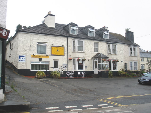
With a population of around 500 residents, North Dimson exudes a peaceful and close-knit community atmosphere. The village features a mix of traditional stone cottages and more modern houses, giving it a charming and picturesque look. The surrounding countryside provides ample opportunities for outdoor activities such as hiking, cycling, and birdwatching, making it an ideal destination for nature enthusiasts.

While North Dimson itself does not have many amenities, the nearby town of Saltash offers a range of facilities including shops, supermarkets, restaurants, and pubs. The village benefits from its proximity to Saltash, allowing residents to enjoy a peaceful rural lifestyle while still having access to essential services.

North Dimson is also well-connected, with good transport links to other parts of Cornwall and beyond. The nearby A38 road provides easy access to Plymouth, which is just across the River Tamar, and the village is served by regular bus services.

Overall, North Dimson offers a tranquil and idyllic setting for those seeking a quiet village life surrounded by natural beauty, while still having the convenience of nearby amenities and good transport connections.

If you have any feedback on the listing, please let us know in the comments section below.
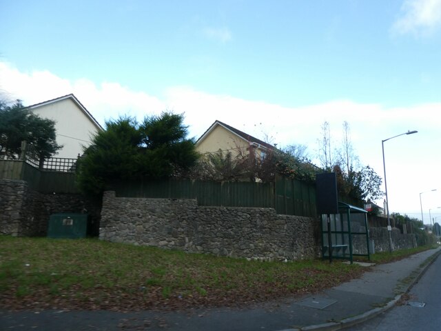
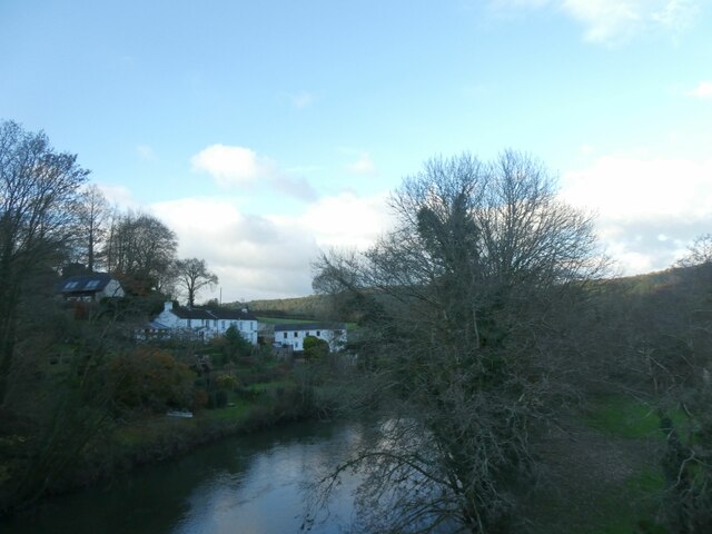
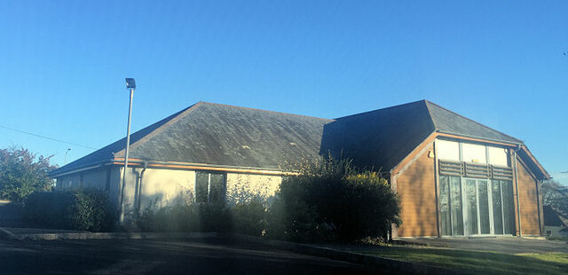
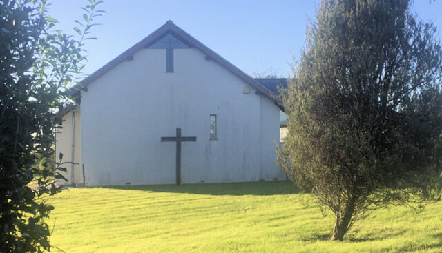
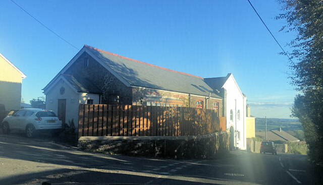
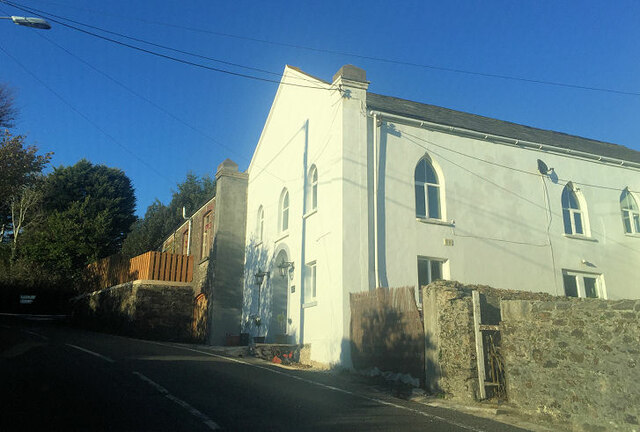
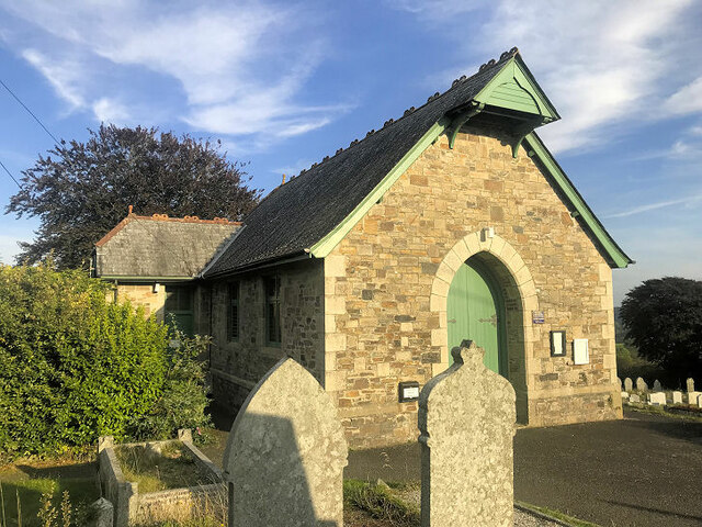
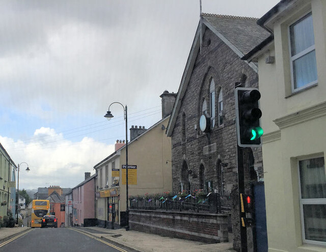
North Dimson Images

Images are sourced within 2km of 50.525685/-4.2242019 or Grid Reference SX4271. Thanks to Geograph Open Source API. All images are credited.

Bus shelter by A390 in St Ann's Chapel St Ann's Chapel is a hamlet in the parish of Calstock, Cornwall. It is west of Gunnislake on the A390 between Tavistock and Liskeard. The hamlet has a pub - The Rifle Volunteer.
Bus shelter by A390 in St Ann's Chapel
St Ann's Chapel is a hamlet in the parish of Calstock, Cornwall. It is west of Gunnislake on the A390 between Tavistock and Liskeard. The hamlet has a pub - The Rifle Volunteer.
Winter light on Tamar, New Bridge The Tamar (Cornish: Dowr Tamar) is in south west England, it forms most of the border between Devon and Cornwall. 
The Tamar's source is 3 miles from the north Cornish coast, but it flows southward and its course runs across the peninsula to the south coast. The total length of the river is 61 miles. At its mouth, the Tamar flows into the Hamoaze before entering Plymouth Sound. Tributaries of the river include the rivers Inny, Ottery, Kensey and Lynher (or St Germans River) on the Cornish side, and the Deer and Tavy on the Devon side.
Winter light on Tamar, New Bridge
The Tamar (Cornish: Dowr Tamar) is in south west England, it forms most of the border between Devon and Cornwall. The Tamar's source is 3 miles from the north Cornish coast, but it flows southward and its course runs across the peninsula to the south coast. The total length of the river is 61 miles. At its mouth, the Tamar flows into the Hamoaze before entering Plymouth Sound. Tributaries of the river include the rivers Inny, Ottery, Kensey and Lynher (or St Germans River) on the Cornish side, and the Deer and Tavy on the Devon side.
Tamar Valley Methodist Church
Former Bible Christian Chapel
Cemetery chapel
Cemetery chapel
Gunnislake Village Hall
Thimble Hall
Thimble Hall
Former Wesleyan Methodist Chapel
Direction Sign - Signpost by Honicombe Corner, Calstock parish Located on the bank on the northeast side of the crossroads near Honicombe Holiday park in Calstock parish. 4 arms, 1 now missing, and pyramid finial. See <a title="https://www.geograph.org.uk/photo/6048397" href="https://www.geograph.org.uk/photo/6048397">Link</a> to see it with all four arms.

Milestone Society National ID: CW_SX4170
Direction Sign - Signpost by Honicombe Corner, Calstock parish
Located on the bank on the northeast side of the crossroads near Honicombe Holiday park in Calstock parish. 4 arms, 1 now missing, and pyramid finial. See Link to see it with all four arms. Milestone Society National ID: CW_SX4170
Gunnislake station: terminating train The train from Plymouth arrived late as it had struggled to gain traction on the tight curves and steep gradients on the climb from Calstock Viaduct in the rain.
Gunnislake station: terminating train
The train from Plymouth arrived late as it had struggled to gain traction on the tight curves and steep gradients on the climb from Calstock Viaduct in the rain.
Gunnislake station: car park The station is a railhead for several surrounding villages.
Gunnislake station: car park
The station is a railhead for several surrounding villages.
Gunnislake station: cycle parking A modest provision of three Sheffield stands. Given that there are few houses near the station and Gunnislake is at the bottom of a long hill, I expect that few people do cycle to the station.
Gunnislake station: cycle parking
A modest provision of three Sheffield stands. Given that there are few houses near the station and Gunnislake is at the bottom of a long hill, I expect that few people do cycle to the station.
Gunnislake station: 25th anniversary plaque The plaque placed in 2019 marks 25 years since the present unstaffed station opened.
Gunnislake station: 25th anniversary plaque
The plaque placed in 2019 marks 25 years since the present unstaffed station opened.
Gunnislake station: entrance from Sand Hill There is a bus shelter opposite the station entrance.
Gunnislake station: entrance from Sand Hill
There is a bus shelter opposite the station entrance.
Escape lane on Sand Hill This is well short of the bottom of the hill.
Escape lane on Sand Hill
This is well short of the bottom of the hill.
Postbox on Sand Hill Currently remote from most of the houses in the village, but it is shown (as 'L.B.') on the 1906 map, when there were more houses at this end of the village serving Pearson's Quarry.
Postbox on Sand Hill
Currently remote from most of the houses in the village, but it is shown (as 'L.B.') on the 1906 map, when there were more houses at this end of the village serving Pearson's Quarry.
Show me another place!

North Dimson is located at Grid Ref: SX4271 (Lat: 50.525685, Lng: -4.2242019)

Unitary Authority: Cornwall

Police Authority: Devon and Cornwall

What 3 Words

///upstairs.northward.radiated. Near Gunnislake, Cornwall

Related Wikis

Dimson

Dimson is a small village in Cornwall, England. It is situated in the Tamar Valley approximately 10+1⁄2 miles (16.9 km) north of Plymouth and around two...

Chilsworthy railway station

Chilsworthy railway station (Cornish: Karjyl) served the village of Chilsworthy, Cornwall, England, from 1909 to 1966 on the Callington Branch. == History... ==

Gunnislake

Gunnislake (Cornish: Dowrgonna) is a large village in east Cornwall, England, United Kingdom. It is situated in the Tamar Valley approximately ten miles...

Battle of Gunnislake New Bridge

The Battle of Gunnislake New Bridge took place on 20 July 1644 on and around Gunnislake New Bridge, a bridge over the River Tamar between Cornwall and...

Nearby Amenities

Located within 500m of 50.525685,-4.2242019
Bus Stop
Windy Bridge
Bus: yes
Naptan AtcoCode: 0800COY38583
Naptan Bearing: W
Naptan CommonName: Windy Bridge
Naptan NaptanCode: cordwtjm
Naptan Street: Unclassified
Naptan Verified: no
Public Transport: platform
Source: naptan_import
Lat/Long: 50.526222/-4.2312139
Post Box
Brand: Royal Mail
Brand Wikidata: Q638098
Brand Wikipedia: en:Royal Mail
Collection Times: Mo-Fr 15:30; Sa 11:30; Su off
Drive Through: no
Operator: Royal Mail
Operator Wikidata: Q638098
Post Box Design: waggon_top
Post Box Mounting: wall
Post Box Type: lamp
Ref: PL18 85
Royal Cypher: GVIR
Royal Cypher Wikidata: Q33102169
Source: survey;streetlevel imagery;aerial imagery
Lat/Long: 50.5256901/-4.2243238
Post Box
Brand: Royal Mail
Brand Wikidata: Q638098
Brand Wikipedia: en:Royal Mail
Collection Times: Mo-Fr 09:00; Sa 08:00; Su off
Drive Through: no
Operator: Royal Mail
Operator Wikidata: Q638098
Post Box Design: type_c
Post Box Mounting: stone_wall
Post Box Type: wall
Ref: PL18 22
Royal Cypher: VR
Royal Cypher Wikidata: Q33102356
Source: survey;streetlevel imagery;aerial imagery
Lat/Long: 50.5240126/-4.2191756
Power: pole
Lat/Long: 50.5271197/-4.2185019
Power: pole
Lat/Long: 50.5264257/-4.219206
Power: pole
Lat/Long: 50.5256158/-4.2200093
Power: pole
Lat/Long: 50.524874/-4.221215
Power: pole
Lat/Long: 50.5245867/-4.2232373
Power: pole
Lat/Long: 50.5236352/-4.2228994
Power: pole
Lat/Long: 50.522699/-4.2225722
Power: pole
Lat/Long: 50.5219632/-4.2220693
Power: pole
Lat/Long: 50.5230554/-4.2231542
Power: pole
Lat/Long: 50.5224466/-4.2238328
Power: pole
Lat/Long: 50.5217628/-4.224667
Generator Method: photovoltaic
Generator Output Electricity: yes
Generator Source: solar
Generator Type: solar_photovoltaic_panel
Location: roof
Power: generator
Lat/Long: 50.5248588/-4.2188188
Generator Method: photovoltaic
Generator Output Electricity: yes
Generator Source: solar
Generator Type: solar_photovoltaic_panel
Location: roof
Power: generator
Lat/Long: 50.5250353/-4.2179806
Generator Method: photovoltaic
Generator Output Electricity: yes
Generator Source: solar
Generator Type: solar_photovoltaic_panel
Location: roof
Power: generator
Lat/Long: 50.524615/-4.2179752
Power: pole
Lat/Long: 50.5221763/-4.2215073
Power: pole
Lat/Long: 50.5219777/-4.2222959
Power: pole
Lat/Long: 50.5216409/-4.2228873
Power: pole
Lat/Long: 50.5213092/-4.2234224
Post Box
Brand: Royal Mail
Brand Wikidata: Q638098
Brand Wikipedia: en:Royal Mail
Collection Times: Mo-Sa 10:00; Su off
Drive Through: no
Operator: Royal Mail
Operator Wikidata: Q638098
Post Box Design: type_l
Post Box Mounting: stone_wall
Post Box Type: lamp
Ref: PL18 98
Royal Cypher: GVIR
Royal Cypher Wikidata: Q33102169
Source: survey;streetlevel imagery;aerial imagery
Lat/Long: 50.5244423/-4.2295748
The data included in this document is from www.openstreetmap.org. The data is made available under ODbL.

Have you been to North Dimson?

Leave your review of North Dimson below (or comments, questions and feedback).