Dimson
Settlement in Cornwall
England
Dimson
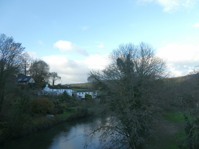
Dimson is a small village located in the county of Cornwall, in the southwestern part of England. Situated in a picturesque rural setting, the village is surrounded by rolling hills and lush green fields, offering stunning views of the countryside. It lies approximately 3 miles northeast of the town of Falmouth, making it easily accessible for both residents and visitors.
The village of Dimson is known for its peaceful and tranquil atmosphere, making it an ideal destination for those seeking a relaxing getaway. It boasts a tight-knit community, with a population of around 250 residents. The village is characterized by its charming cottages and traditional architecture, adding to its quaint and traditional appeal.
Despite its small size, Dimson offers several amenities to its residents. It is home to a local pub, where locals and tourists can enjoy a pint of ale and traditional British cuisine. The village also has a small convenience store, providing essential goods to the community.
For outdoor enthusiasts, Dimson is surrounded by beautiful natural landscapes, making it perfect for hiking and exploring. The nearby countryside offers numerous walking trails, providing breathtaking views and opportunities to spot local wildlife. Additionally, Dimson is only a short distance from the coast, allowing residents and visitors to enjoy beach activities and water sports.
Overall, Dimson is a hidden gem in Cornwall, offering a tranquil escape from the hustle and bustle of city life. With its stunning scenery, tight-knit community, and proximity to both nature and amenities, Dimson is a charming village worth exploring.
If you have any feedback on the listing, please let us know in the comments section below.
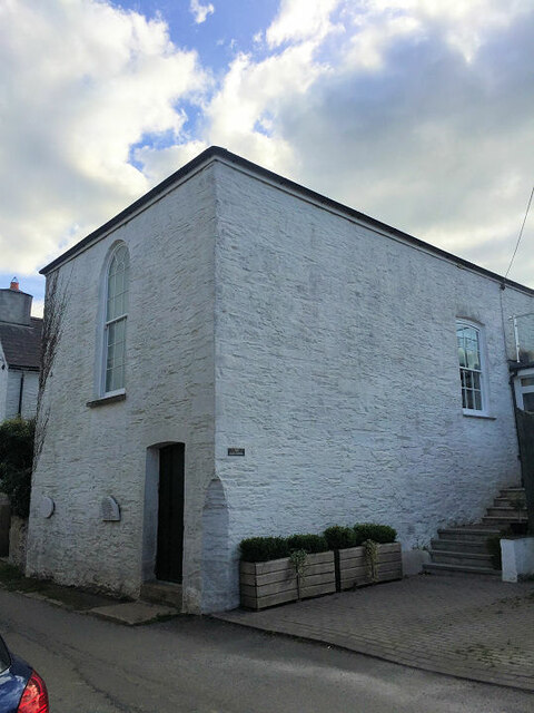
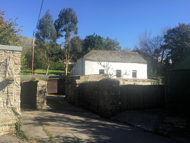
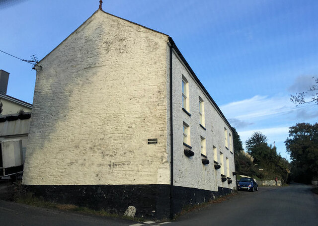
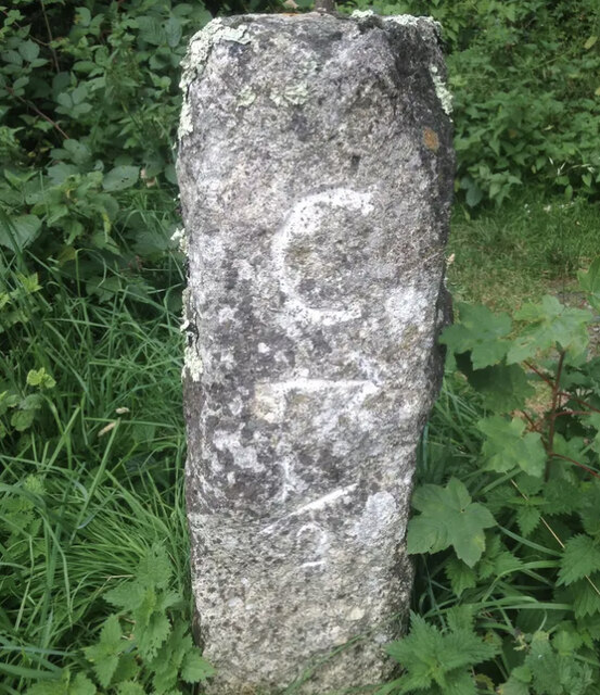
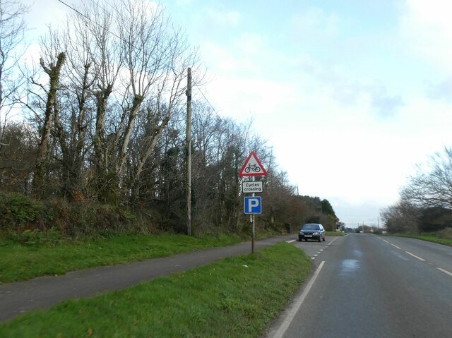
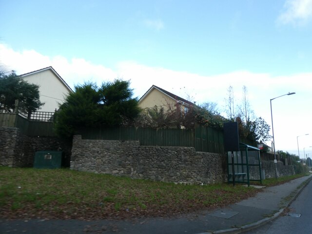
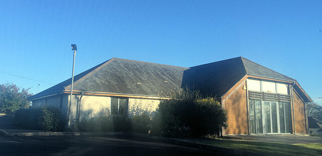
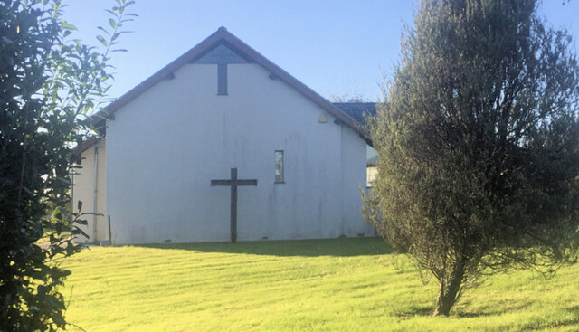
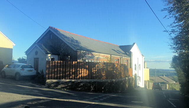
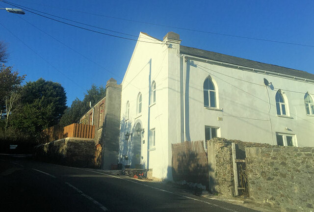
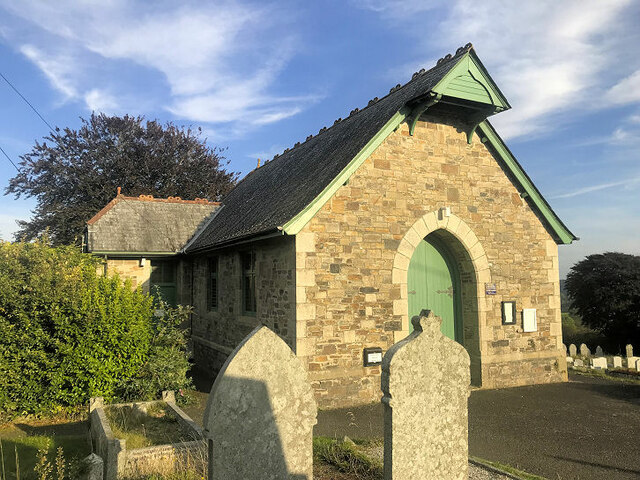
Dimson Images
Images are sourced within 2km of 50.517406/-4.2300479 or Grid Reference SX4271. Thanks to Geograph Open Source API. All images are credited.

Dimson is located at Grid Ref: SX4271 (Lat: 50.517406, Lng: -4.2300479)
Unitary Authority: Cornwall
Police Authority: Devon and Cornwall
What 3 Words
///alike.introduce.modules. Near Gunnislake, Cornwall
Nearby Locations
Related Wikis

Drakewalls
Drakewalls is a small village in southeast Cornwall, England, UK. It is in Calstock parish, adjacent to Gunnislake between Callington and Tavistock.Primary...

Albaston
Albaston (Cornish: Trevalba) is a hamlet in Cornwall, England, United Kingdom. It is in the civil parish of Calstock. It is located at Ordnance Survey...

St Ann's Chapel, Cornwall
St Ann's Chapel is a village in the parish of Calstock, Cornwall, England, United Kingdom. It is west of Gunnislake on the A390 between Tavistock and Liskeard...

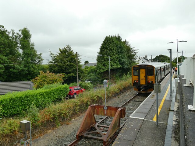
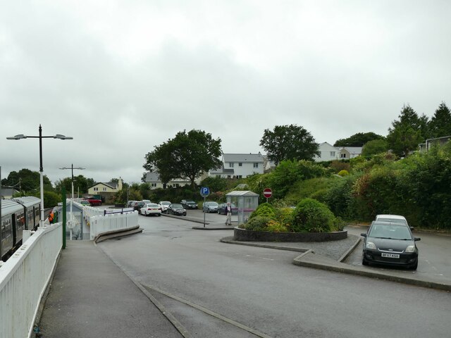
Gunnislake railway station
Gunnislake railway station (Cornish: Dowrgonna) serves the village of Gunnislake in Cornwall, England. There are also connecting buses from here to the...
Nearby Amenities
Located within 500m of 50.517406,-4.2300479Have you been to Dimson?
Leave your review of Dimson below (or comments, questions and feedback).