Lower Dimson

Settlement in Cornwall

England

Lower Dimson

Tamar Trails Centre - car park Activity centre in Devon with walks and trails around mining heritage.
Tamar Trails Centre - car park Credit: Chris Allen

Lower Dimson is a small village located in the county of Cornwall, England. Situated in the southwestern part of the country, it lies close to the town of Bodmin and is surrounded by picturesque countryside. The village is characterized by its quaint and traditional charm, offering visitors a glimpse into rural life in Cornwall.

With a population of around 200 residents, Lower Dimson is a close-knit community where everyone knows their neighbors. The village is predominantly residential, with a scattering of small businesses catering to the local population. The architecture in Lower Dimson is predominantly traditional, with charming stone cottages and old farmhouses dotting the landscape.

Nature enthusiasts will be pleased to find an abundance of natural beauty in and around Lower Dimson. The village benefits from its proximity to Bodmin Moor, a wild and rugged landscape that offers a range of outdoor activities, including hiking, biking, and birdwatching. The Camel Trail, a popular walking and cycling route, is also easily accessible from the village.

Lower Dimson benefits from good transport links, with the A30 road passing nearby, providing easy access to other parts of Cornwall and beyond. The nearby town of Bodmin offers a range of amenities, including shops, schools, and healthcare facilities, ensuring that residents have everything they need within reach.

Overall, Lower Dimson offers a peaceful and idyllic setting for those seeking a quiet village lifestyle surrounded by stunning natural beauty.

If you have any feedback on the listing, please let us know in the comments section below.
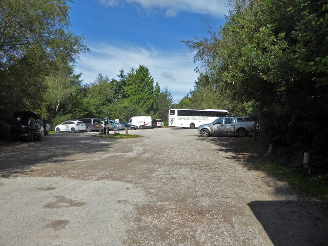
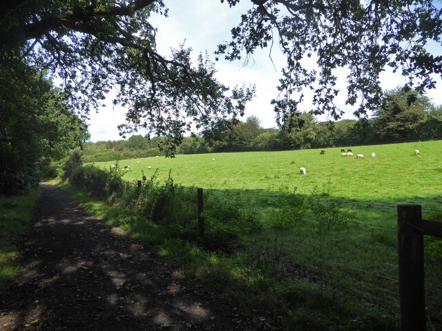
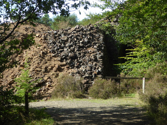
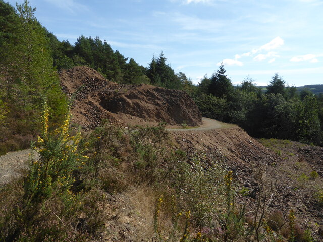
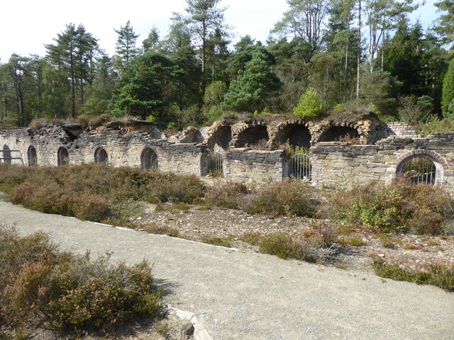
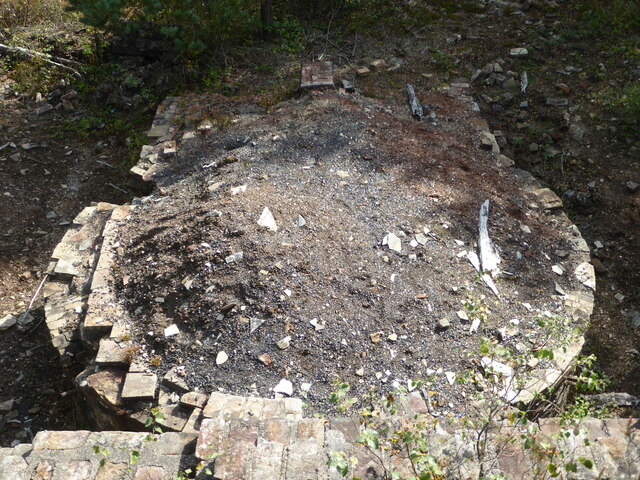
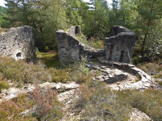
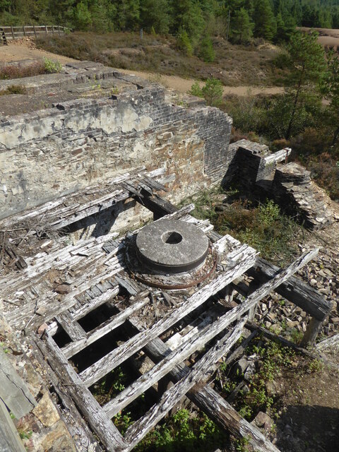
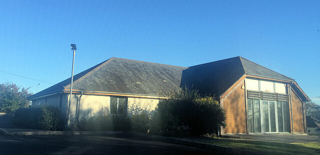
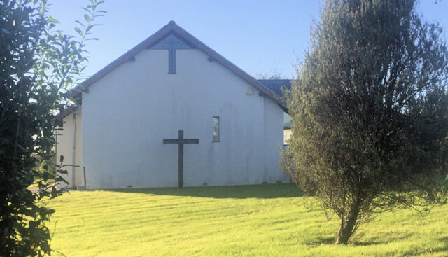
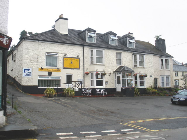
Lower Dimson Images

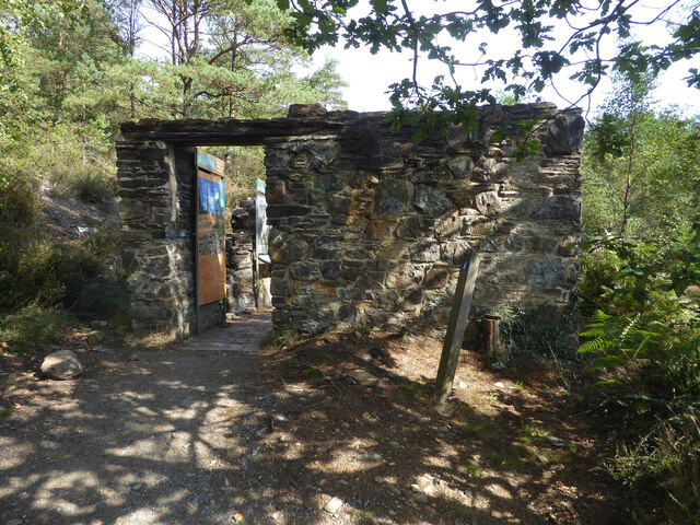
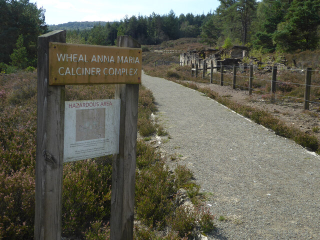
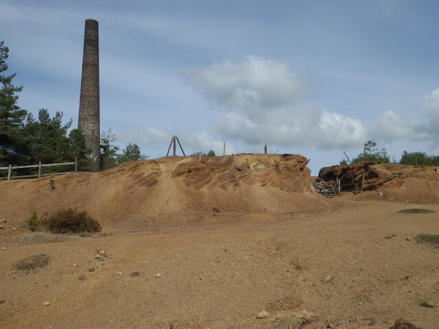
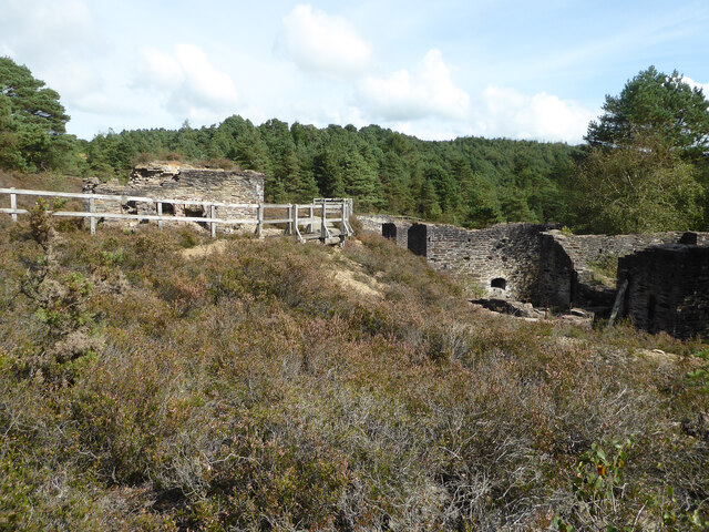
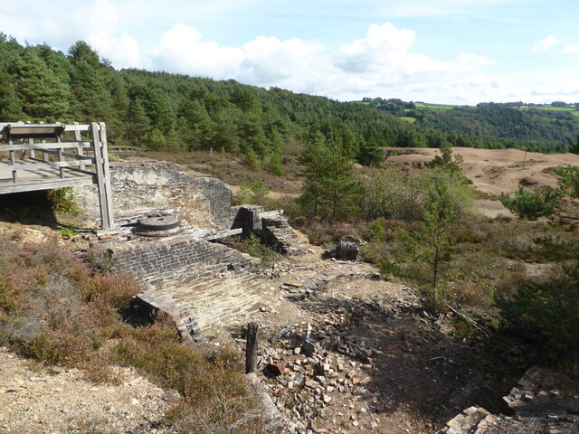
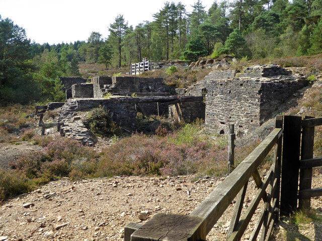
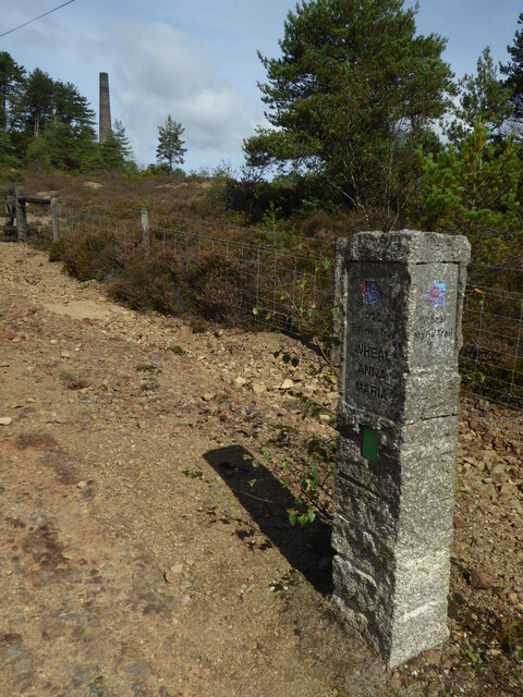
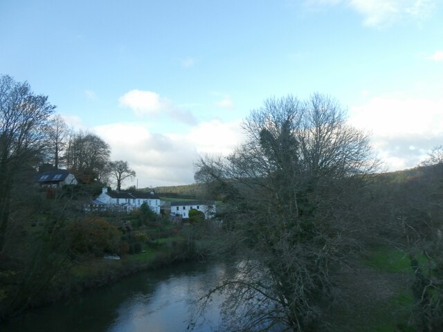
Images are sourced within 2km of 50.526211/-4.2178209 or Grid Reference SX4271. Thanks to Geograph Open Source API. All images are credited.

Tamar Trails Centre - car park Activity centre in Devon with walks and trails around mining heritage.
Tamar Trails Centre - car park
Activity centre in Devon with walks and trails around mining heritage.
One of the paths in the Tamar Trails The positions are a best guess and are on the path heading towards the site of Wheal Emma.
One of the paths in the Tamar Trails
The positions are a best guess and are on the path heading towards the site of Wheal Emma.
Wheal Josiah waste tip I believe this includes a partially collapsed railway tunnel - probably straight ahead behind the no entry sign. I was not really looking for this at the time or I would have peered a bit closer. This area shows mounds of presumed toxic waste with very little vegetation. Some structured masonry is seen to the right.
Wheal Josiah waste tip
I believe this includes a partially collapsed railway tunnel - probably straight ahead behind the no entry sign. I was not really looking for this at the time or I would have peered a bit closer. This area shows mounds of presumed toxic waste with very little vegetation. Some structured masonry is seen to the right.
Wheal Anna Maria arsenic tailings Toxic waste from arsenic mining and refining in the 1920s. Further along the path  (behind the photographer) are the remains of the arsenic refining plant and associated chimney stack.
Wheal Anna Maria arsenic tailings
Toxic waste from arsenic mining and refining in the 1920s. Further along the path (behind the photographer) are the remains of the arsenic refining plant and associated chimney stack.
Devon Great Consols Mine - former mine office Now home to several display boards on the history of this mine that was an amalgamation of several older mines. The mine was last used for arsenic production and refining and there is a large arsenic calcining and milling plant nearby.
Devon Great Consols Mine - former mine office
Now home to several display boards on the history of this mine that was an amalgamation of several older mines. The mine was last used for arsenic production and refining and there is a large arsenic calcining and milling plant nearby.
Wheal Anna Maria Calciner Complex Part of the Great Devon Consols mine complex. This was an arsenic calcining and milling plant. On the right is part of the labyrinth flue that was used to condense the arsenic out of the flue gases. It was then dug out for milling.
Wheal Anna Maria Calciner Complex
Part of the Great Devon Consols mine complex. This was an arsenic calcining and milling plant. On the right is part of the labyrinth flue that was used to condense the arsenic out of the flue gases. It was then dug out for milling.
Devon Great Consols - chimney This is the chimney for the arsenic calcining plant at Wheal Anna Maria that was part of Devon Great Consols. The relative absence of vegetation is due to the contamination of the ground by toxic materials.
Devon Great Consols - chimney
This is the chimney for the arsenic calcining plant at Wheal Anna Maria that was part of Devon Great Consols. The relative absence of vegetation is due to the contamination of the ground by toxic materials.
Wheal Anna Maria Calciner Complex Devon Great Consols latterly concentrated on mining and refining arsenic. This is part of the arsenic refining complex. On the right are the remains of two Brunton calciners that roasted the ore. They were connected by flues to the labyrinthine condensing flue on the left. The chimney is some distance away on the hillside. The complex also contains the remains of a second type of furnace and a mill for grinding the finished product. The explanatory display board is sadly faded but just about legible.
Wheal Anna Maria Calciner Complex
Devon Great Consols latterly concentrated on mining and refining arsenic. This is part of the arsenic refining complex. On the right are the remains of two Brunton calciners that roasted the ore. They were connected by flues to the labyrinthine condensing flue on the left. The chimney is some distance away on the hillside. The complex also contains the remains of a second type of furnace and a mill for grinding the finished product. The explanatory display board is sadly faded but just about legible.
Wheal Anna Maria calcining complex   Part of Devon Great Consols Mine from the period of arsenic production. This shows the labyrinth condensing flue where the arsenic condensed to be dug out later. At one time there was a second set of condensing flues for the gases from the final reverberatory furnace but these have now gone although the remains of the furnace are still to be seen.
Wheal Anna Maria calcining complex
Part of Devon Great Consols Mine from the period of arsenic production. This shows the labyrinth condensing flue where the arsenic condensed to be dug out later. At one time there was a second set of condensing flues for the gases from the final reverberatory furnace but these have now gone although the remains of the furnace are still to be seen.
Wheal Anna Maria Calciner Complex This is the base of reverberatory furnace that was used in the early 20th century for arsenic processing. The ore was crushed, roasted in the two Brunton calciners and then condensed and collected from a labyrinthine flue. This material was then roasted with a smokeless fuel in this furnace. The efflux from this furnace was condensed as 99.5% pure snow white arsenic trioxide. This was then milled and packed into barrels. It was mainly used as an insecticide.
Wheal Anna Maria Calciner Complex
This is the base of reverberatory furnace that was used in the early 20th century for arsenic processing. The ore was crushed, roasted in the two Brunton calciners and then condensed and collected from a labyrinthine flue. This material was then roasted with a smokeless fuel in this furnace. The efflux from this furnace was condensed as 99.5% pure snow white arsenic trioxide. This was then milled and packed into barrels. It was mainly used as an insecticide.
Wheal Anna Maria Calciner Complex - Brunton calciner This complex dates from the early 20th century and was used for arsenic production from Devon Great Consols Mine. It apparently closed in 1925 after a life of around 5 years. The ore was crushed and roasted in two Brunton calciners (the other is partly seen on the left). The arsenic rich gases were conducted by the hot flue in the foreground to a labyrinth condensing flue where the arsenic was condensed and deposited to be dug out. It then went through a second stage of purification by roasting and condensing before being ground to a fine white powder. The arsenic trioxide that was produced is very toxic and was mainly used as an insecticide.
Wheal Anna Maria Calciner Complex - Brunton calciner
This complex dates from the early 20th century and was used for arsenic production from Devon Great Consols Mine. It apparently closed in 1925 after a life of around 5 years. The ore was crushed and roasted in two Brunton calciners (the other is partly seen on the left). The arsenic rich gases were conducted by the hot flue in the foreground to a labyrinth condensing flue where the arsenic was condensed and deposited to be dug out. It then went through a second stage of purification by roasting and condensing before being ground to a fine white powder. The arsenic trioxide that was produced is very toxic and was mainly used as an insecticide.
Wheal Anna Maria Calciner Complex - mill This arsenic processing complex was in use from about 1920 to 1925. The last stage was to mill 99.5% pure arsenic trioxide to a fine powder for packing into barrels. It was mainly used as an insecticide. This shows the millstones that are analogous to a flour mill. I do not know how long the timbers will continue to support them as it all looks a bit decayed.
Wheal Anna Maria Calciner Complex - mill
This arsenic processing complex was in use from about 1920 to 1925. The last stage was to mill 99.5% pure arsenic trioxide to a fine powder for packing into barrels. It was mainly used as an insecticide. This shows the millstones that are analogous to a flour mill. I do not know how long the timbers will continue to support them as it all looks a bit decayed.
Wheal Anna Maria Calciner Complex Part of Devon Great Consols Mine and used from about 1920 to 1925 for the production of finely ground arsenic trioxide. Bottom right is the edge of the reverberatory furnace that was used for the final refining to produce a white material that was then ground by the millstones on the left before packing into barrels. The arsenic was mainly used as an insecticide. Waste tips in the distance are largely devoid of vegetation due to the toxic nature of the waste.
Wheal Anna Maria Calciner Complex
Part of Devon Great Consols Mine and used from about 1920 to 1925 for the production of finely ground arsenic trioxide. Bottom right is the edge of the reverberatory furnace that was used for the final refining to produce a white material that was then ground by the millstones on the left before packing into barrels. The arsenic was mainly used as an insecticide. Waste tips in the distance are largely devoid of vegetation due to the toxic nature of the waste.
Wheal Anna Maria Calciner Complex Part of Devon Great Consols Mine. This complex was used from about 1920 to 1925 for the production of arsenic trioxide, mainly for use as an insecticide.
Wheal Anna Maria Calciner Complex
Part of Devon Great Consols Mine. This complex was used from about 1920 to 1925 for the production of arsenic trioxide, mainly for use as an insecticide.
Wheal Anna Maria - trail marker and chimney The position is a best guess. Wheal Anna Maria is part of grouping of mines into Devon Great Consols. The chimney is on the end of a long flue from the arsenic refining plant that was in use from about 1920 to 1925.
Wheal Anna Maria - trail marker and chimney
The position is a best guess. Wheal Anna Maria is part of grouping of mines into Devon Great Consols. The chimney is on the end of a long flue from the arsenic refining plant that was in use from about 1920 to 1925.
Winter light on Tamar, New Bridge The Tamar (Cornish: Dowr Tamar) is in south west England, it forms most of the border between Devon and Cornwall. 
The Tamar's source is 3 miles from the north Cornish coast, but it flows southward and its course runs across the peninsula to the south coast. The total length of the river is 61 miles. At its mouth, the Tamar flows into the Hamoaze before entering Plymouth Sound. Tributaries of the river include the rivers Inny, Ottery, Kensey and Lynher (or St Germans River) on the Cornish side, and the Deer and Tavy on the Devon side.
Winter light on Tamar, New Bridge
The Tamar (Cornish: Dowr Tamar) is in south west England, it forms most of the border between Devon and Cornwall. The Tamar's source is 3 miles from the north Cornish coast, but it flows southward and its course runs across the peninsula to the south coast. The total length of the river is 61 miles. At its mouth, the Tamar flows into the Hamoaze before entering Plymouth Sound. Tributaries of the river include the rivers Inny, Ottery, Kensey and Lynher (or St Germans River) on the Cornish side, and the Deer and Tavy on the Devon side.
Tamar Valley Methodist Church
Show me another place!

Lower Dimson is located at Grid Ref: SX4271 (Lat: 50.526211, Lng: -4.2178209)

Unitary Authority: Cornwall

Police Authority: Devon and Cornwall

What 3 Words

///fail.simulations.education. Near Gunnislake, Cornwall

Related Wikis

Gunnislake

Gunnislake (Cornish: Dowrgonna) is a large village in east Cornwall, England, United Kingdom. It is situated in the Tamar Valley approximately ten miles...

Dimson

Dimson is a small village in Cornwall, England. It is situated in the Tamar Valley approximately 10+1⁄2 miles (16.9 km) north of Plymouth and around two...

Battle of Gunnislake New Bridge

The Battle of Gunnislake New Bridge was a battle that took place on 20 July 1644 on and around Gunnislake New Bridge, a bridge over the River Tamar between...

Chilsworthy railway station

Chilsworthy railway station (Cornish: Karjyl) served the village of Chilsworthy, Cornwall, England, from 1909 to 1966 on the Callington Branch. == History... ==

Nearby Amenities

Located within 500m of 50.526211,-4.2178209
Gunnislake
Name Kw: Dowrgonna
Place: village
Wikidata: Q5619265
Lat/Long: 50.5238826/-4.2161922
Traffic Signals
Crossing: traffic_signals
Lat/Long: 50.523756/-4.2136645
Bus Stop
Cornish Inn
Bus: yes
Naptan AtcoCode: 0800COA10668
Naptan Bearing: N
Naptan CommonName: Cornish Inn
Naptan Crossing: Fore Street
Naptan NaptanCode: corgagtd
Naptan Street: The Square
Naptan Verified: no
Public Transport: platform
Source: naptan_import
Lat/Long: 50.5236282/-4.2137715
Bus Stop
Opp the Cornish Inn
Bus: yes
Naptan AtcoCode: 0800COA10669
Naptan Bearing: S
Naptan CommonName: Opp the Cornish Inn
Naptan Crossing: Fore Street
Naptan NaptanCode: corgagtj
Naptan Street: The Square
Naptan Verified: no
Public Transport: platform
Source: naptan_import
Lat/Long: 50.5236973/-4.2136027
Pharmacy
Gunnislake Pharmacy
Dispensing: yes
Healthcare: pharmacy
Opening Hours: Mo-Fr 08:30-18:00
Lat/Long: 50.5247407/-4.2146257
Traffic Signals
Lat/Long: 50.5244432/-4.2132461
Traffic Signals
Lat/Long: 50.524592/-4.2132943
Traffic Signals
Lat/Long: 50.524288/-4.2136686
Wheal Talk
Artist Name: Rosie Fierek
Artwork Type: mural
Tourism: artwork
Lat/Long: 50.5243093/-4.2137915
Post Box
Brand: Royal Mail
Brand Wikidata: Q638098
Brand Wikipedia: en:Royal Mail
Collection Times: Mo-Fr 15:30; Sa 11:30; Su off
Drive Through: no
Operator: Royal Mail
Operator Wikidata: Q638098
Post Box Design: waggon_top
Post Box Mounting: wall
Post Box Type: lamp
Ref: PL18 85
Royal Cypher: GVIR
Royal Cypher Wikidata: Q33102169
Source: survey;streetlevel imagery;aerial imagery
Lat/Long: 50.5256901/-4.2243238
Post Box
Brand: Royal Mail
Brand Wikidata: Q638098
Brand Wikipedia: en:Royal Mail
Collection Times: Mo-Fr 09:00; Sa 08:00; Su off
Drive Through: no
Operator: Royal Mail
Operator Wikidata: Q638098
Post Box Design: type_c
Post Box Mounting: stone_wall
Post Box Type: wall
Ref: PL18 22
Royal Cypher: VR
Royal Cypher Wikidata: Q33102356
Source: survey;streetlevel imagery;aerial imagery
Lat/Long: 50.5240126/-4.2191756
Power: pole
Lat/Long: 50.5297839/-4.2159256
Power: pole
Lat/Long: 50.529153/-4.2165318
Power: pole
Lat/Long: 50.5288274/-4.2168269
Power: pole
Lat/Long: 50.5282357/-4.2174518
Power: pole
Lat/Long: 50.5271197/-4.2185019
Power: pole
Lat/Long: 50.5264257/-4.219206
Power: pole
Lat/Long: 50.5256158/-4.2200093
Power: pole
Lat/Long: 50.524874/-4.221215
Power: pole
Lat/Long: 50.5245867/-4.2232373
Power: pole
Lat/Long: 50.5236352/-4.2228994
Generator Method: photovoltaic
Generator Output Electricity: yes
Generator Source: solar
Generator Type: solar_photovoltaic_panel
Location: roof
Power: generator
Lat/Long: 50.5248588/-4.2188188
Generator Method: photovoltaic
Generator Output Electricity: yes
Generator Source: solar
Generator Type: solar_photovoltaic_panel
Location: roof
Power: generator
Lat/Long: 50.5250353/-4.2179806
Generator Method: photovoltaic
Generator Output Electricity: yes
Generator Source: solar
Generator Type: solar_photovoltaic_panel
Location: roof
Power: generator
Lat/Long: 50.524615/-4.2179752
Generator Method: photovoltaic
Generator Output Electricity: yes
Generator Source: solar
Generator Type: solar_photovoltaic_panel
Location: roof
Power: generator
Lat/Long: 50.5255699/-4.2140083
Generator Method: photovoltaic
Generator Output Electricity: yes
Generator Source: solar
Generator Type: solar_photovoltaic_panel
Location: roof
Power: generator
Lat/Long: 50.5255767/-4.2137454
Generator Method: photovoltaic
Generator Output Electricity: yes
Generator Source: solar
Generator Type: solar_photovoltaic_panel
Location: roof
Power: generator
Lat/Long: 50.5255562/-4.2136435
Generator Method: photovoltaic
Generator Output Electricity: yes
Generator Source: solar
Generator Type: solar_photovoltaic_panel
Location: roof
Power: generator
Lat/Long: 50.525459/-4.2140431
Generator Method: photovoltaic
Generator Output Electricity: yes
Generator Source: solar
Generator Type: solar_photovoltaic_panel
Location: roof
Power: generator
Lat/Long: 50.5253977/-4.214027
Generator Method: photovoltaic
Generator Output Electricity: yes
Generator Source: solar
Generator Type: solar_photovoltaic_panel
Location: roof
Power: generator
Lat/Long: 50.5253243/-4.2140458
Generator Method: photovoltaic
Generator Output Electricity: yes
Generator Source: solar
Generator Type: solar_photovoltaic_panel
Location: roof
Power: generator
Lat/Long: 50.5252647/-4.2140404
Post Box
Brand: Royal Mail
Brand Wikidata: Q638098
Brand Wikipedia: en:Royal Mail
Collection Times: Mo-Fr 15:00; Sa 09:00; Su off
Drive Through: no
Operator: Royal Mail
Operator Wikidata: Q638098
Post Box Mounting: pier
Post Box Type: lamp
Ref: PL18 65
Royal Cypher: EIIR
Royal Cypher Wikidata: Q33102113
Source: survey;streetlevel imagery;aerial imagery
Lat/Long: 50.5256209/-4.2159828
Post Box
Brand: Royal Mail
Brand Wikidata: Q638098
Brand Wikipedia: en:Royal Mail
Collection Times: Mo-Fr 16:15; Sa 10:45; Su off
Drive Through: no
Operator: Royal Mail
Operator Wikidata: Q638098
Post Box Design: 2010_pattern
Post Box Mounting: pier
Post Box Type: lamp
Ref: PL18 92
Royal Cypher: EIIR
Royal Cypher Wikidata: Q33102113
Source: survey;streetlevel imagery;aerial imagery
Lat/Long: 50.523676/-4.2135311
William the Miner
Artwork Type: sculpture
Material: metal
Tourism: artwork
Lat/Long: 50.5243704/-4.2136282
Bench
Material: metal
Lat/Long: 50.524355/-4.2136655
Pete and Di's Bazaar
Shop: gift
Lat/Long: 50.5245495/-4.2134356
Information: board
Tourism: information
Lat/Long: 50.5237521/-4.213533
Defibrillator
Defibrillator Location: On front wall of village hall.
Emergency: defibrillator
Indoor: no
Lat/Long: 50.5238959/-4.2135183
Generator Method: photovoltaic
Generator Output Electricity: yes
Generator Source: solar
Generator Type: solar_photovoltaic_panel
Location: roof
Power: generator
Lat/Long: 50.5236224/-4.2177804
Generator Method: photovoltaic
Generator Output Electricity: yes
Generator Source: solar
Generator Type: solar_photovoltaic_panel
Location: roof
Power: generator
Lat/Long: 50.5236105/-4.217657
Generator Method: photovoltaic
Generator Output Electricity: yes
Generator Source: solar
Generator Type: solar_photovoltaic_panel
Location: roof
Power: generator
Lat/Long: 50.5232046/-4.2168389
Generator Method: photovoltaic
Generator Output Electricity: yes
Generator Source: solar
Generator Type: solar_photovoltaic_panel
Location: roof
Power: generator
Lat/Long: 50.5232703/-4.2168564
Generator Method: photovoltaic
Generator Output Electricity: yes
Generator Source: solar
Generator Type: solar_photovoltaic_panel
Location: roof
Power: generator
Lat/Long: 50.5258954/-4.2134781
The data included in this document is from www.openstreetmap.org. The data is made available under ODbL.

Have you been to Lower Dimson?

Leave your review of Lower Dimson below (or comments, questions and feedback).