Dimsdale

Settlement in Staffordshire Newcastle-under-Lyme

England

Dimsdale

Festival Park This non standard trig point is believed to be remnant of the Garden Festival in 1986. If so, it's one of the last trig pillars ever built. 
The Festival park, on derelict industrial land is maturing into woodland.

Thank you to Roger Butler, who has confirmed that this was built for the Garden Festival, and was actually the last Triangulation Pillar constructed in Britain.
Festival Park Credit: Richard Webb

Dimsdale is a small village located in the county of Staffordshire, England. Situated approximately 4 miles southeast of the town of Newcastle-under-Lyme, Dimsdale is surrounded by picturesque countryside and offers a tranquil and idyllic setting for its residents.

The village is known for its rich history, dating back to the medieval period. It is believed that the name "Dimsdale" originates from the Old English word "dimm," meaning dark, and "dæl," meaning valley, suggesting a valley shrouded in shadow. This name is reflective of the village's location, nestled in a small valley surrounded by rolling hills.

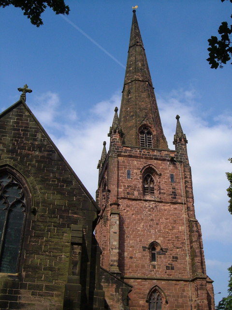
Despite its small size, Dimsdale boasts a close-knit community that takes pride in preserving its heritage. The village is home to several historic buildings, including a 14th-century church, St. Bartholomew's, which showcases stunning architecture and houses ancient artifacts.

The village also benefits from its proximity to nearby amenities. Residents have easy access to local schools, shops, and recreational facilities in nearby Newcastle-under-Lyme. Furthermore, Dimsdale's location provides excellent transport links, with the A34 road passing nearby, connecting the village to larger towns and cities in the region.

The natural beauty of Dimsdale and its surroundings makes it an attractive destination for outdoor enthusiasts. The village is surrounded by lush green fields, offering opportunities for walking, hiking, and cycling. The nearby Dimmingsdale Nature Reserve is a popular spot for wildlife enthusiasts, boasting diverse flora and fauna.

In summary, Dimsdale is a charming village in Staffordshire, known for its historic buildings, beautiful countryside, and strong sense of community. It offers a peaceful and scenic environment for both residents and visitors alike.

If you have any feedback on the listing, please let us know in the comments section below.
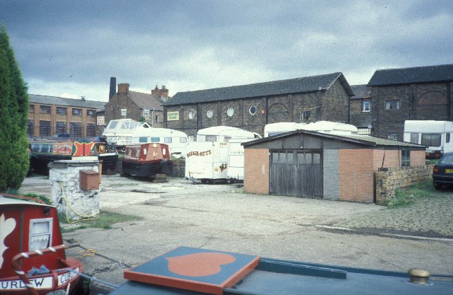
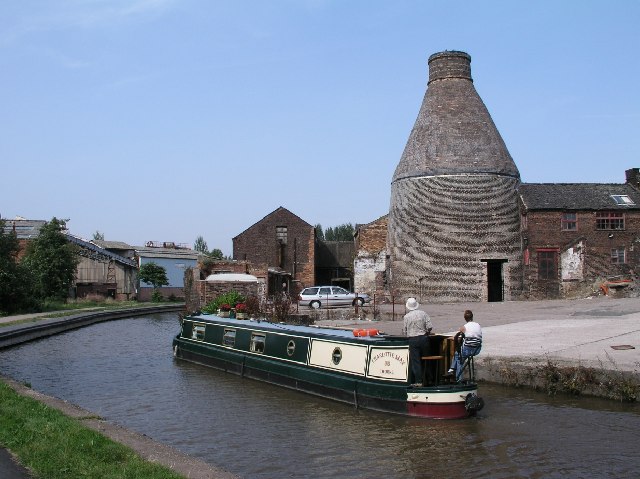
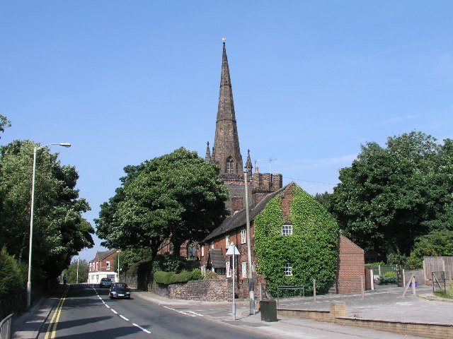
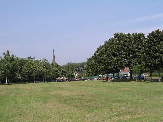
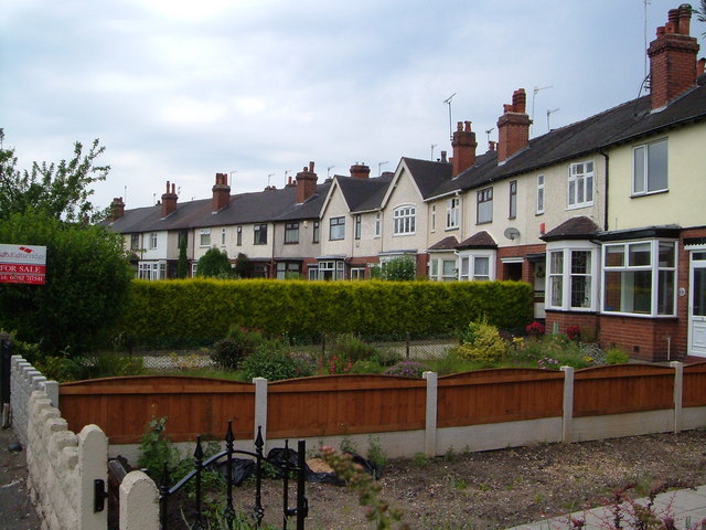
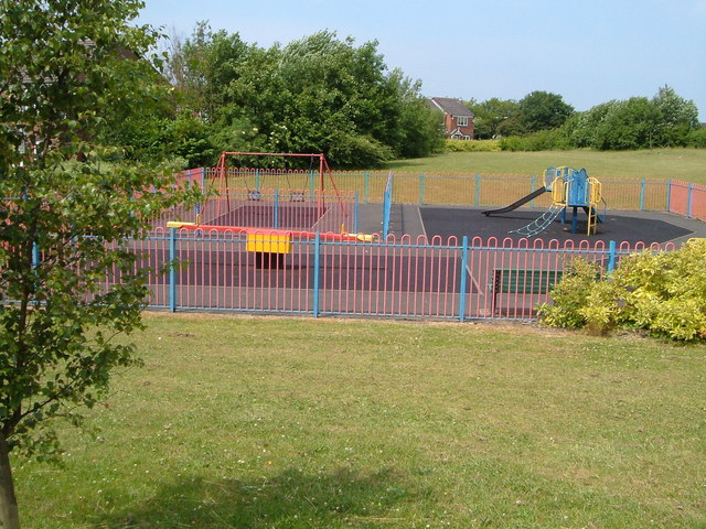
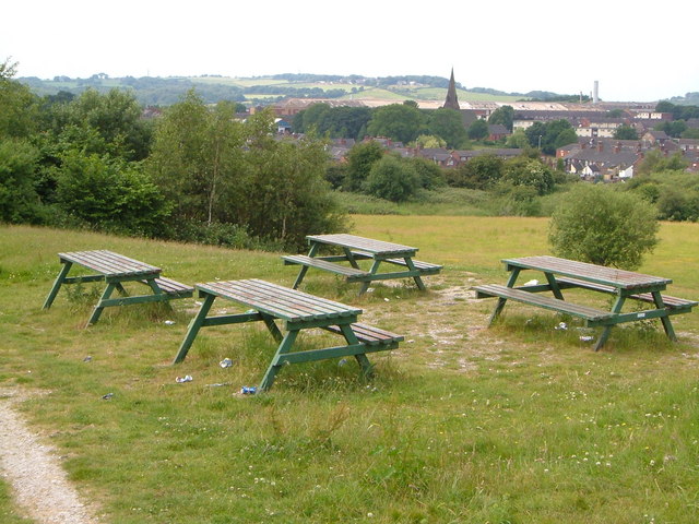
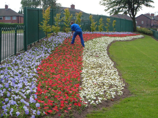
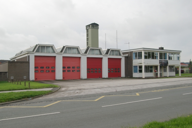
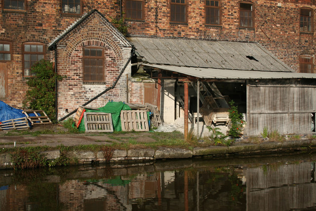
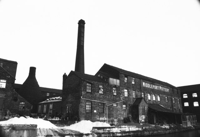
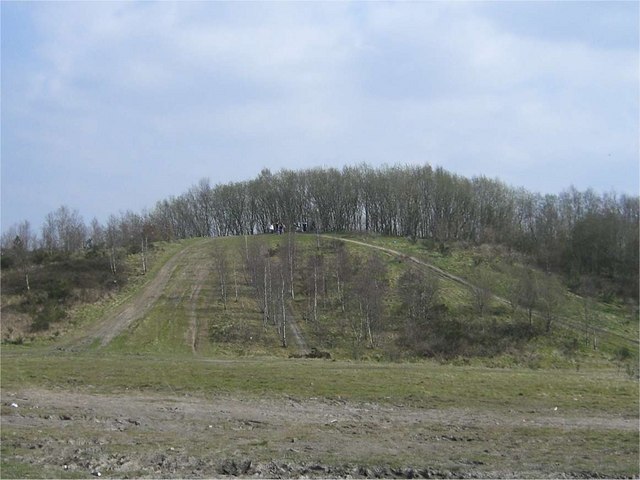
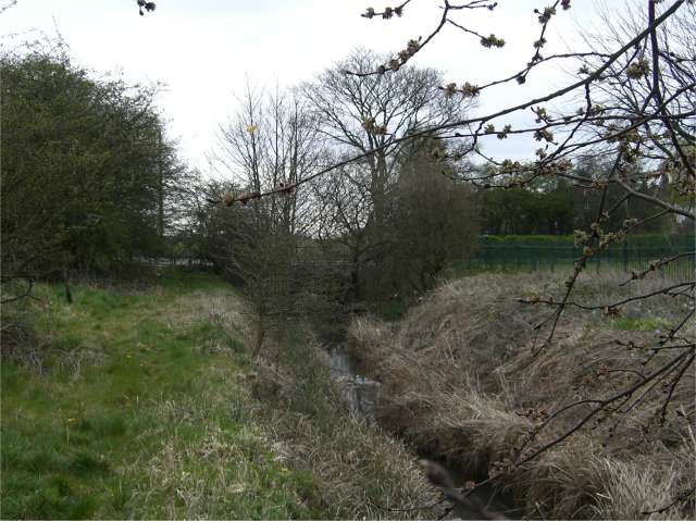
Dimsdale Images

Images are sourced within 2km of 53.031829/-2.231844 or Grid Reference SJ8448. Thanks to Geograph Open Source API. All images are credited.

Festival Park This non standard trig point is believed to be remnant of the Garden Festival in 1986. If so, it's one of the last trig pillars ever built. 
The Festival park, on derelict industrial land is maturing into woodland.

Thank you to Roger Butler, who has confirmed that this was built for the Garden Festival, and was actually the last Triangulation Pillar constructed in Britain.
Festival Park
This non standard trig point is believed to be remnant of the Garden Festival in 1986. If so, it's one of the last trig pillars ever built. The Festival park, on derelict industrial land is maturing into woodland. Thank you to Roger Butler, who has confirmed that this was built for the Garden Festival, and was actually the last Triangulation Pillar constructed in Britain.
Longport Wharf the site of Stoke on Trent Boatbuilding Services
Longport Wharf
the site of Stoke on Trent Boatbuilding Services
Longport Bottle Oven Bottle Ovens were once a very common sight in The Potteries, but now very few remain. This one is by the Trent and Mersey Canal at Price & Kensington Factory, Newcastle Street, Longport - <a href="https://www.geograph.org.uk/gridref/SJ857496">SJ857496</a>.  It is a Grade II* listed building.
Longport Bottle Oven
Bottle Ovens were once a very common sight in The Potteries, but now very few remain. This one is by the Trent and Mersey Canal at Price & Kensington Factory, Newcastle Street, Longport - SJ857496. It is a Grade II* listed building.
Wolstanton, Church of St Margaret View of St Margaret's Church, Wolstanton, Newcastle-under-Lyme, SJ856480. The Church of St Margaret, with its lofty spire may be seen at a large distance. It contains several monuments of the Sneyd family, and a handsome stone pulpit, erected in 1848
Wolstanton, Church of St Margaret
View of St Margaret's Church, Wolstanton, Newcastle-under-Lyme, SJ856480. The Church of St Margaret, with its lofty spire may be seen at a large distance. It contains several monuments of the Sneyd family, and a handsome stone pulpit, erected in 1848
May Bank, Wolstanton Marsh The Marsh is a large open space between May Bank and Wolstanton, given to the local people a long time ago by the Duchy of Lancaster as a recreational area in perpetuity. A Roman Road, Rykeneld Street, is also documented as crossing The Marsh at Wolstanton. This view taken at SJ856476 with St Margaret's Church in the background.
May Bank, Wolstanton Marsh
The Marsh is a large open space between May Bank and Wolstanton, given to the local people a long time ago by the Duchy of Lancaster as a recreational area in perpetuity. A Roman Road, Rykeneld Street, is also documented as crossing The Marsh at Wolstanton. This view taken at SJ856476 with St Margaret's Church in the background.
Crescent, Dimsdale Parade East,  Wolstanton A curving terrace built in 1909 on a road mainly characterised by straight lines of houses. My father was born here, four years after the houses were built.
Crescent, Dimsdale Parade East, Wolstanton
A curving terrace built in 1909 on a road mainly characterised by straight lines of houses. My father was born here, four years after the houses were built.
Swift House, Liverpool Rd, Newcastle under Lyme At Cross Heath on the northwest outskirts of Newcastle, this block houses firms dealing in motorbikes and mobile phones.
Swift House, Liverpool Rd, Newcastle under Lyme
At Cross Heath on the northwest outskirts of Newcastle, this block houses firms dealing in motorbikes and mobile phones.
Playground off Cheswardine Road, Bradwell On the edge of the Bradwell estate between Newcastle and Kidsgrove, by a footpath to Bradwell Wood.
Playground off Cheswardine Road, Bradwell
On the edge of the Bradwell estate between Newcastle and Kidsgrove, by a footpath to Bradwell Wood.
Picnic site near Chesterton Holy Trinity church in Chesterton is a landmark from this picnic site on open land between the Parkouse Industrial Estate and Beasley, north of Newcastle.
Picnic site near Chesterton
Holy Trinity church in Chesterton is a landmark from this picnic site on open land between the Parkouse Industrial Estate and Beasley, north of Newcastle.
St. Margaret's Church, Wolstanton A close-up of the east end and the tower and spire, from the churchyard.
St. Margaret's Church, Wolstanton
A close-up of the east end and the tower and spire, from the churchyard.
Patriotic flower-bed, Wolstanton Marsh Beside the junction of Moreton Parade with Church Lane.
Patriotic flower-bed, Wolstanton Marsh
Beside the junction of Moreton Parade with Church Lane.
Newcastle fire station Newcastle fire station, Knutton Lane, Newcastle Under Lyme, Staffordshire.
Newcastle fire station
Newcastle fire station, Knutton Lane, Newcastle Under Lyme, Staffordshire.
Middleport Pottery Canalside loading point. Middleport Pottery still retains many traditional features.
Middleport Pottery
Canalside loading point. Middleport Pottery still retains many traditional features.
Middleport Pottery Burgess & Leigh - makers of Burleigh Ware. Now Dorling Burgess & Leigh. Has a working Lancashire boiler and a workable 1888 horizontal single cylinder steam engine. The engine is in the little pitced roof extension next to the open fronted lean-to.
Middleport Pottery
Burgess & Leigh - makers of Burleigh Ware. Now Dorling Burgess & Leigh. Has a working Lancashire boiler and a workable 1888 horizontal single cylinder steam engine. The engine is in the little pitced roof extension next to the open fronted lean-to.
Dalehall works, Burslem Was Steelite International when I visited although the earlier name was over the gateway. There was still a working stationary steam engine here then, although it's long been stopped now. The company majored in crockery for hotels and the NHS etc.
Dalehall works, Burslem
Was Steelite International when I visited although the earlier name was over the gateway. There was still a working stationary steam engine here then, although it's long been stopped now. The company majored in crockery for hotels and the NHS etc.
Disused Tip One of many disused mining spoil tips in this area. This one is on private land but that doesn't seem to have stopped off-road bikers from tearing up a fair amount of the planting.
Disused Tip
One of many disused mining spoil tips in this area. This one is on private land but that doesn't seem to have stopped off-road bikers from tearing up a fair amount of the planting.
St Mary's Church, Knutton
Lyme Brook One of the many streams known locally as Lyme Brook disappearing under the B5368 never to be seen again.
Lyme Brook
One of the many streams known locally as Lyme Brook disappearing under the B5368 never to be seen again.
Show me another place!

Dimsdale is located at Grid Ref: SJ8448 (Lat: 53.031829, Lng: -2.231844)

Administrative County: Staffordshire

District: Newcastle-under-Lyme

Police Authority: Staffordshire

What 3 Words

///apple.stable.files. Near Tunstall, Staffordshire

Nearby Locations

Dimsdale

Related Wikis

Dimsdale

Dimsdale is a suburb of Newcastle-under-Lyme in Staffordshire, England. == References ==

Broad Meadow

Broad Meadow is a suburb of Newcastle-under-Lyme in Staffordshire, England.

Wolstanton Rural District

Wolstanton was a rural district in Staffordshire, England from 1894 to 1904. It was created by the Local Government Act 1894 based on Wolstanton rural...

The Orme Academy

The Orme Academy, previously known as Wolstanton High School and Wolstanton County Grammar School, is a high school in Newcastle-under-Lyme, Staffordshire...

Nearby Amenities

Located within 500m of 53.031829,-2.231844
Bus Stop
Hollinshead Avenue
Bus: yes
Naptan AtcoCode: 3800C502000
Naptan Bearing: N
Naptan CommonName: Hollinshead Avenue
Naptan Indicator: Adj
Naptan Landmark: Hollinshead Ave
Naptan PlusbusZoneRef: STOKEOT
Naptan Street: Hassam Parade
Naptan Verified: no
Public Transport: platform
Shelter: no
Source: naptan_import
Lat/Long: 53.0297042/-2.2284672
Bus Stop
Hollinshead Avenue
Bench: no
Bin: no
Bus: yes
Naptan AtcoCode: 3800C502001
Naptan Bearing: S
Naptan CommonName: Hollinshead Avenue
Naptan Indicator: Opp
Naptan Landmark: Hollinshead Ave
Naptan PlusbusZoneRef: STOKEOT
Naptan Street: Hassam Parade
Naptan Verified: no
Public Transport: platform
Shelter: no
Source: naptan_import
Lat/Long: 53.0302792/-2.2286193
Bus Stop
Wolstanton Golf Course
Alt Name: London Road
Bus: yes
Naptan AtcoCode: 3800C526601
Naptan Bearing: S
Naptan CommonName: Wolstanton Golf Course
Naptan Indicator: Adj
Naptan Landmark: Golf Course
Naptan PlusbusZoneRef: STOKEOT
Naptan Street: Talke Road
Naptan Verified: no
Public Transport: platform
Ref: stadtpmj
Source: naptan_import
Lat/Long: 53.0312134/-2.2381528
Bus Stop
London Road
Bus: yes
Naptan AtcoCode: 3800C526602
Naptan Bearing: N
Naptan CommonName: London Road
Naptan Indicator: Adj
Naptan Landmark: London Road
Naptan PlusbusZoneRef: STOKEOT
Naptan Street: Talke Road
Naptan Verified: no
Public Transport: platform
Ref: stadtpmp
Source: naptan_import
Lat/Long: 53.0313111/-2.23872
Bus Stop
Dimsdale Parade West
Bus: yes
Naptan AtcoCode: 3800C527701
Naptan Bearing: S
Naptan CommonName: Dimsdale Parade West
Naptan Indicator: Adj
Naptan Landmark: Dimsdale Parade West
Naptan PlusbusZoneRef: STOKEOT
Naptan Street: Oldcastle Avenue
Naptan Verified: no
Public Transport: platform
Source: naptan_import
Lat/Long: 53.0354878/-2.2358946
Bus Stop
Ashcroft Road
Bus: yes
Naptan AtcoCode: 3800C530301
Naptan Bearing: SE
Naptan CommonName: Ashcroft Road
Naptan Indicator: Adj
Naptan Landmark: Ashcroft Road
Naptan PlusbusZoneRef: STOKEOT
Naptan Street: Dimsdale Parade West
Naptan Verified: no
Public Transport: platform
Source: naptan_import
Lat/Long: 53.0347095/-2.2340263
Bus Stop
Ashcroft Road
Bus: yes
Naptan AtcoCode: 3800C530302
Naptan Bearing: NW
Naptan CommonName: Ashcroft Road
Naptan Indicator: Opp
Naptan Landmark: Ashcroft Rd
Naptan PlusbusZoneRef: STOKEOT
Naptan Street: Dimsdale Parade West
Naptan Verified: no
Public Transport: platform
Source: naptan_import
Lat/Long: 53.0342714/-2.232816
Bus Stop
Dimsdale Parade West
Bench: no
Bin: no
Bus: yes
Lit: no
Naptan AtcoCode: 3800C533201
Naptan Bearing: SE
Naptan CommonName: Dimsdale Parade West
Naptan Indicator: Adj
Naptan Landmark: Dimsdale Parade West
Naptan PlusbusZoneRef: STOKEOT
Naptan Street: Hassam Parade
Naptan Verified: no
Public Transport: platform
Shelter: yes
Source: naptan_import
Tactile Paving: no
Lat/Long: 53.0331258/-2.2302002
Bus Stop
Clare Avenue
Bench: no
Bin: no
Bus: yes
Lit: no
Naptan AtcoCode: 3800C533202
Naptan Bearing: N
Naptan CommonName: Clare Avenue
Naptan Indicator: Opp
Naptan Landmark: Clare Avenue
Naptan PlusbusZoneRef: STOKEOT
Naptan Street: Hassam Parade
Naptan Verified: no
Public Transport: platform
Shelter: no
Source: naptan_import
Tactile Paving: no
Lat/Long: 53.0332063/-2.2304243
Traffic Signals
Lat/Long: 53.0291161/-2.2372973
Traffic Signals
Lat/Long: 53.0290971/-2.2371037
Traffic Signals
Lat/Long: 53.0323607/-2.2388011
Mini Roundabout
Lat/Long: 53.0350896/-2.2300675
Turning Circle
Lat/Long: 53.0333063/-2.2273777
Turning Circle
Lat/Long: 53.035562/-2.2333301
Turning Circle
Lat/Long: 53.0352075/-2.2338925
Traffic Signals
Lat/Long: 53.0319404/-2.2391401
Traffic Signals
Lat/Long: 53.0320288/-2.2388947
Traffic Signals
Lat/Long: 53.0322124/-2.2392167
Barrier: block
Lat/Long: 53.0310638/-2.2379907
Speed Camera
Direction: 155
Maxspeed: 40 mph
Lat/Long: 53.0285905/-2.2367937
Speed Camera
Direction: 345
Maxspeed: 40 mph
Lat/Long: 53.0285541/-2.2369509
The data included in this document is from www.openstreetmap.org. The data is made available under ODbL.

Have you been to Dimsdale?

Leave your review of Dimsdale below (or comments, questions and feedback).