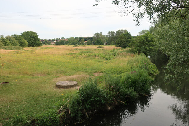
Hellesdon Meadow
Wood, Forest in Norfolk Norwich
England
Hellesdon Meadow
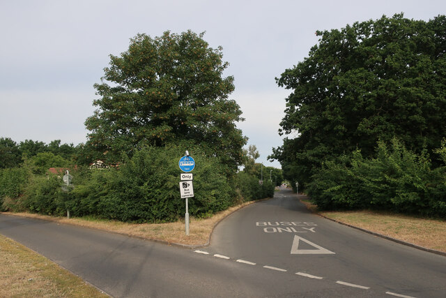
Hellesdon Meadow, located in Norfolk, England, is a picturesque woodland area known for its natural beauty and diverse wildlife. Covering an extensive area of land, it provides a tranquil escape from the hustle and bustle of city life.
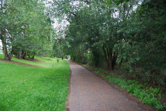
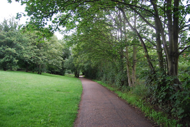
The meadow is characterized by its dense forest of predominantly deciduous trees, including oak, beech, and ash. These towering trees create a dense canopy that provides shade and shelter for a wide range of flora and fauna. The forest floor is covered in a lush carpet of mosses, ferns, and wildflowers, which adds to the enchanting atmosphere of the meadow.
The diverse ecosystem of Hellesdon Meadow supports a rich variety of wildlife. Visitors may spot various species of birds, including woodpeckers, owls, and thrushes, as well as small mammals such as squirrels and rabbits. The meadow is also home to a number of insects, including butterflies, bees, and beetles.
A network of walking trails meanders through the meadow, allowing visitors to explore the woodland at their own pace. These paths offer stunning views of the surrounding countryside and provide opportunities for nature observation and photography.
Hellesdon Meadow is not only a haven for nature enthusiasts but also serves as an important conservation area. Efforts are made to preserve and protect the delicate balance of the ecosystem, ensuring that future generations can continue to enjoy its natural wonders.
Overall, Hellesdon Meadow is a captivating woodland area in Norfolk, offering visitors a chance to immerse themselves in nature and appreciate the beauty of the natural world.
If you have any feedback on the listing, please let us know in the comments section below.
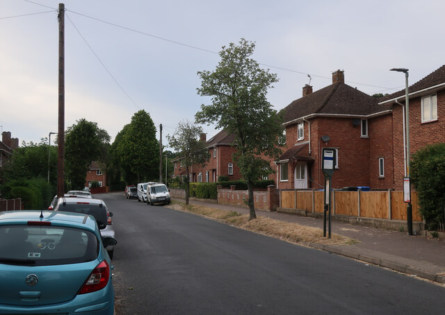
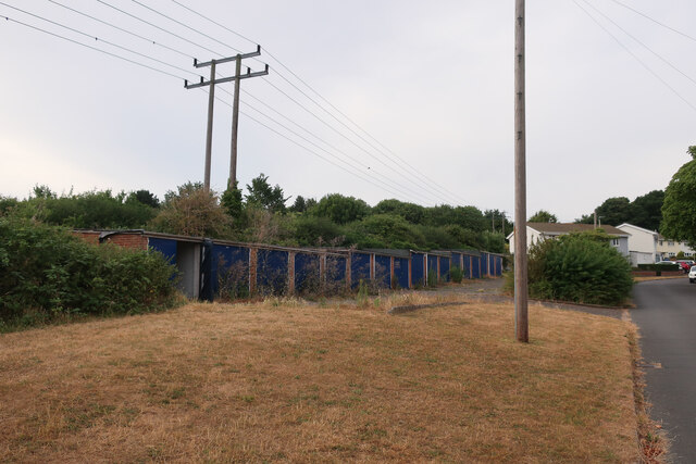
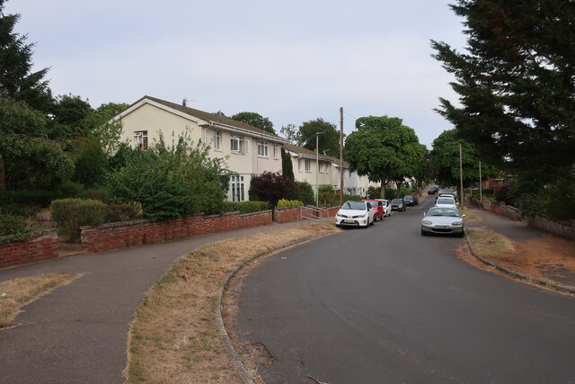
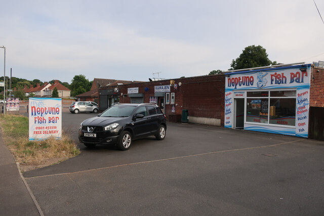
Hellesdon Meadow Images
Images are sourced within 2km of 52.64007/1.2495308 or Grid Reference TG1909. Thanks to Geograph Open Source API. All images are credited.


Hellesdon Meadow is located at Grid Ref: TG1909 (Lat: 52.64007, Lng: 1.2495308)
Administrative County: Norfolk
District: Norwich
Police Authority: Norfolk
What 3 Words
///crop.state.rank. Near Bowthorpe, Norfolk
Nearby Locations
Related Wikis

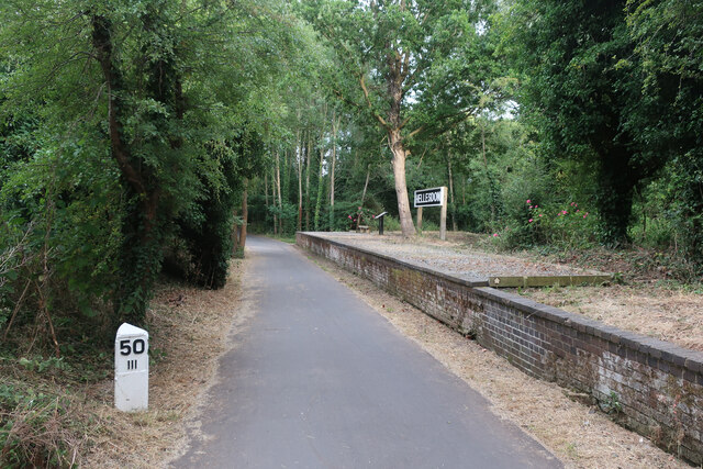
Hellesdon railway station
Hellesdon railway station is a former railway station in Norfolk, England, which served the area of Hellesdon, today virtually an outer suburb of Norwich...

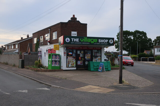
The Gatehouse, Norwich
The Gatehouse is a Grade II listed public house in Norwich, England. It was built in 1934 for the Norwich-based Morgans Brewery, and replaced a 19th-century...
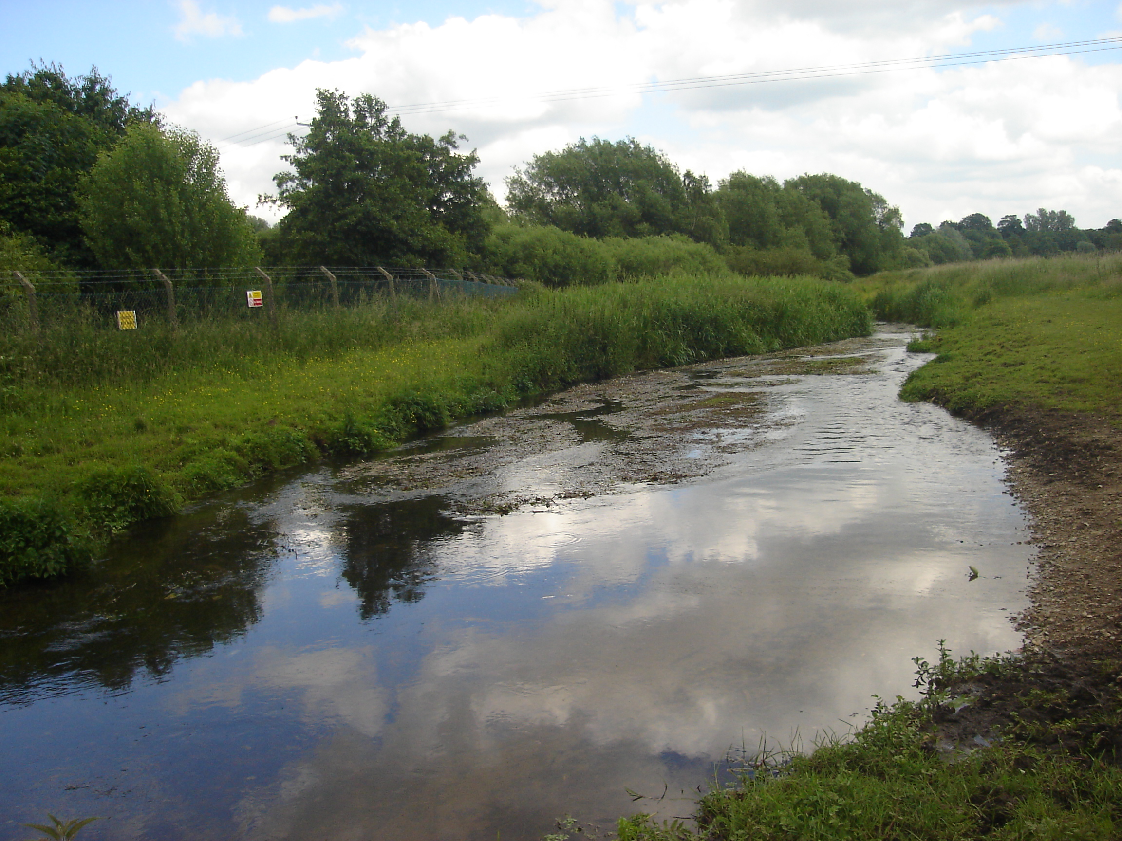
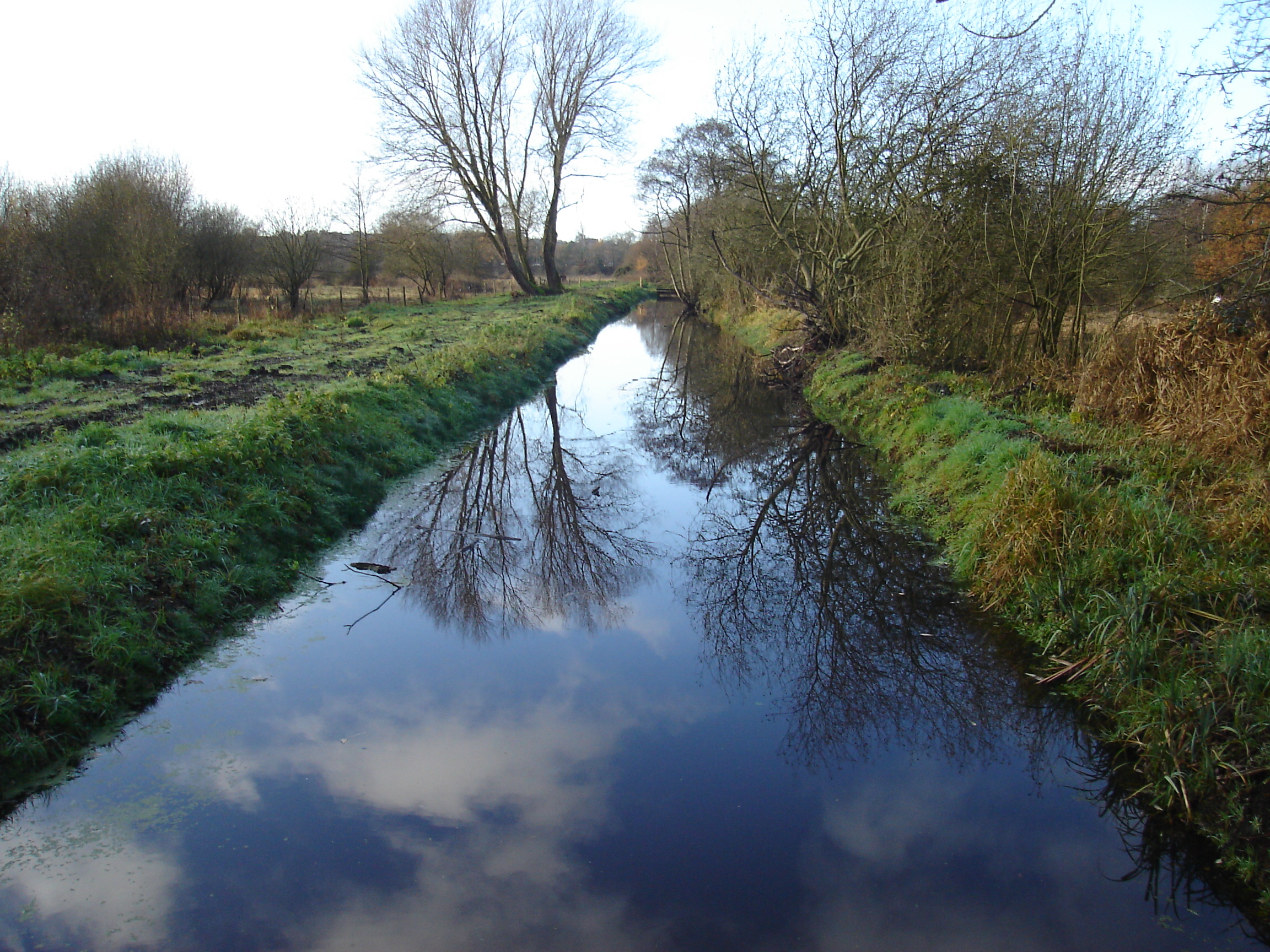
River Tud
River Tud is a tributary of the River Wensum, Norfolk in the East of England. The Tud's source is just south of East Dereham and it flows in an easterly...
Sweetbriar Road Meadows, Norwich
Sweetbriar Road Meadows is a 9.7-hectare (24-acre) biological Site of Special Scientific Interest in Norwich in Norfolk. == Description == Enclosed between...
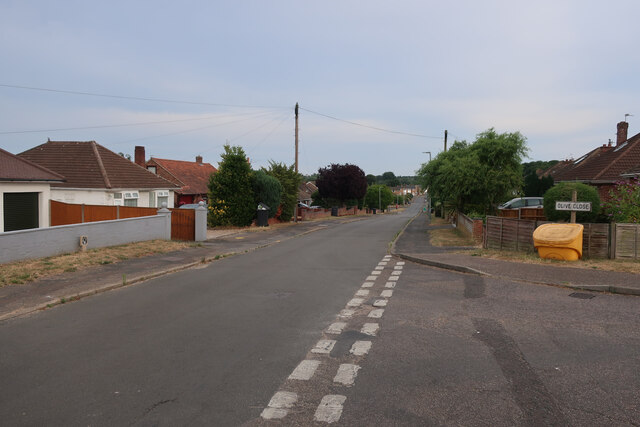
Hellesdon
Hellesdon is a village in the District of Broadland in Norfolk, England. It lies approximately four miles (6 km) north-west of Norwich city centre and...

Norwich Community Hospital
Norwich Community Hospital is a healthcare facility in Bowthorpe Road, Norwich, Norfolk, England. It is managed by Norfolk Community Health and Care NHS...
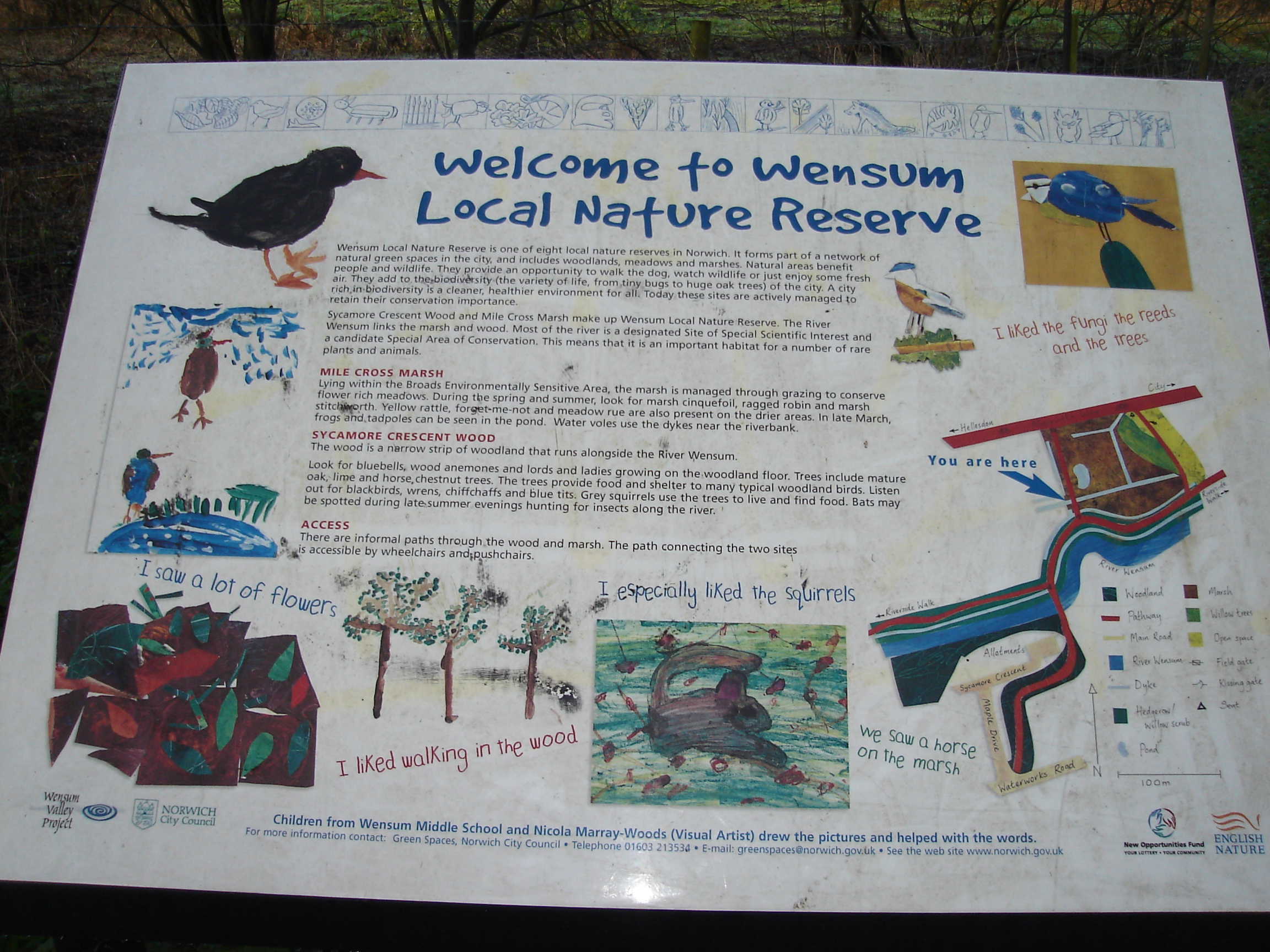
Wensum Local Nature Reserve
Wensum Local Nature Reserve or Wensum Valley is a Local Nature Reserve in Norwich in the English county of Norfolk. The reserve consists of two sites;...
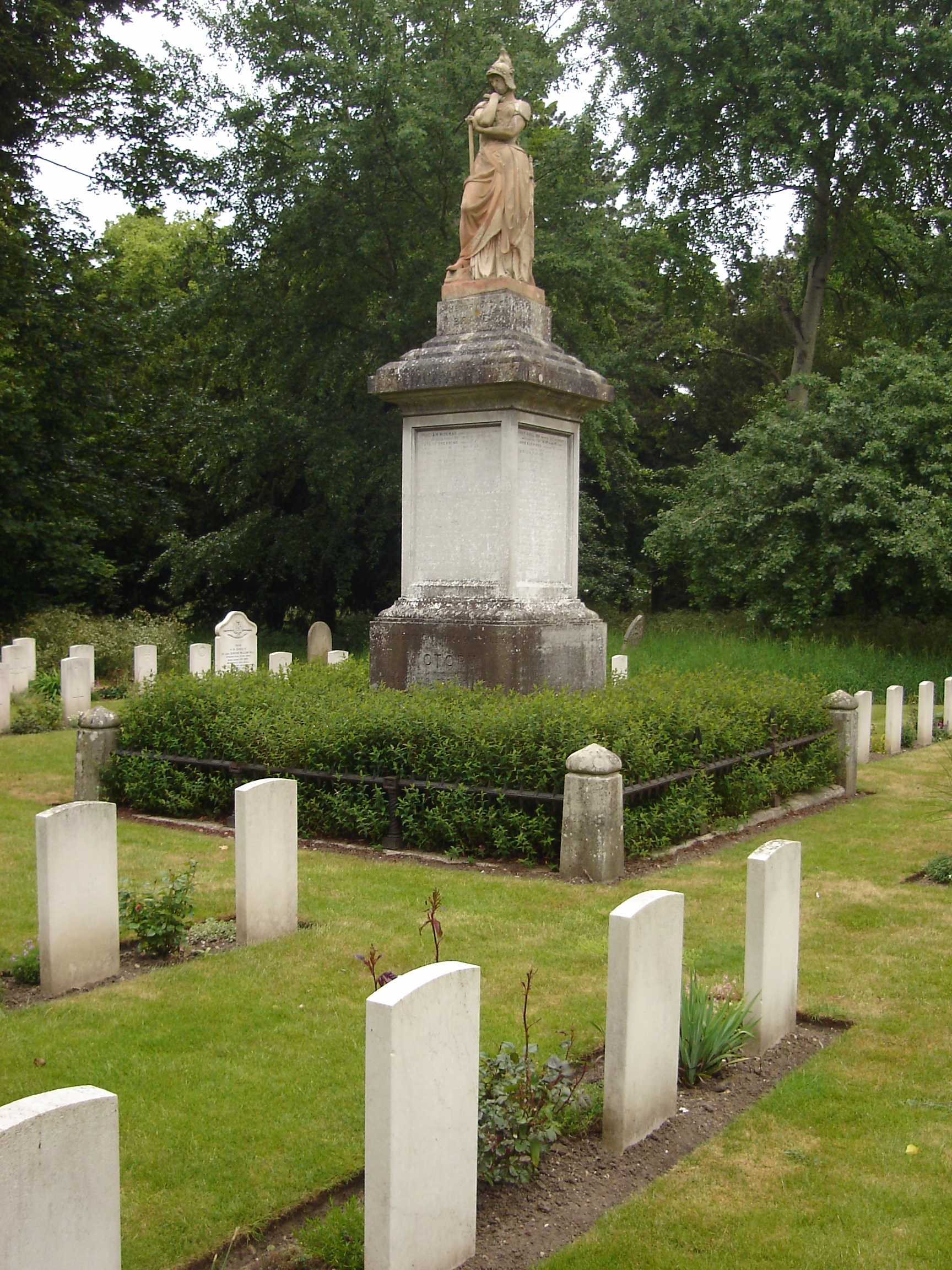
Earlham Road Cemetery, Norwich
Earlham Road Cemetery, Norwich also known as Earlham Cemetery or Norwich Cemetery is a cemetery located in Norwich which was officially opened on 6 March...
Nearby Amenities
Located within 500m of 52.64007,1.2495308Have you been to Hellesdon Meadow?
Leave your review of Hellesdon Meadow below (or comments, questions and feedback).