Twenty Acre Wood
Wood, Forest in Norfolk Norwich
England
Twenty Acre Wood
Twenty Acre Wood, located in Norfolk, England, is a captivating woodland that spans approximately 20 acres. Situated in the heart of the county, this enchanting forest is renowned for its natural beauty, diverse wildlife, and rich history. The wood is a popular destination for nature enthusiasts, hikers, and families seeking a peaceful escape from the bustling city life.
The forest boasts a wide array of tree species, including oak, beech, and birch, which create a lush and vibrant canopy. The woodland floor is adorned with a tapestry of wildflowers, ferns, and moss, adding to its picturesque charm. Numerous walking trails meander through the forest, allowing visitors to explore its hidden nooks and crannies.
Twenty Acre Wood is home to a diverse range of wildlife, making it a haven for nature lovers. Birdwatchers can spot a variety of species, such as woodpeckers, nuthatches, and tawny owls. Rabbits, foxes, and squirrels can also be spotted scurrying through the undergrowth. The forest is particularly renowned for its population of deer, with Roe deer and Muntjac deer frequently seen grazing peacefully in the open glades.
Steeped in history, Twenty Acre Wood has been a part of the Norfolk landscape for centuries. It is believed to have been used as a hunting ground by local nobility in medieval times. Today, remnants of ancient boundaries and ditches can still be seen, serving as a reminder of the wood's historical significance.
Overall, Twenty Acre Wood is a captivating natural treasure in Norfolk, offering visitors a tranquil escape into nature, an opportunity to spot diverse wildlife, and a glimpse into the region's rich history.
If you have any feedback on the listing, please let us know in the comments section below.
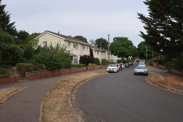
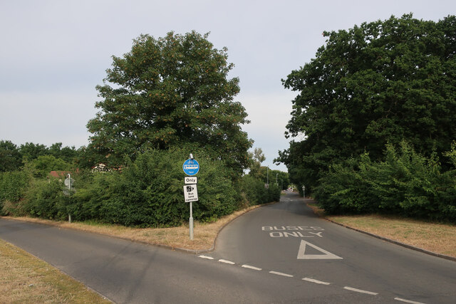
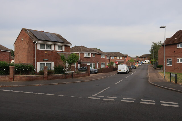
Twenty Acre Wood Images
Images are sourced within 2km of 52.634939/1.2392313 or Grid Reference TG1909. Thanks to Geograph Open Source API. All images are credited.


Twenty Acre Wood is located at Grid Ref: TG1909 (Lat: 52.634939, Lng: 1.2392313)
Administrative County: Norfolk
District: Norwich
Police Authority: Norfolk
What 3 Words
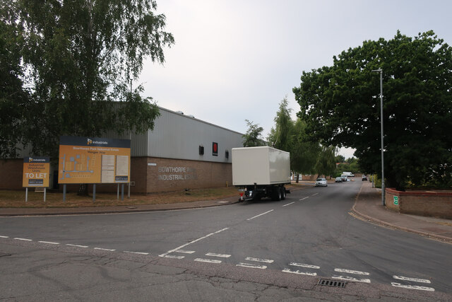
///shield.shape.buddy. Near Bowthorpe, Norfolk
Nearby Locations
Related Wikis
City Academy Norwich
City Academy Norwich is a secondary school in Norwich, England. It opened in September 2009, replacing Earlham High School. It is located near the University...

Earlham Hall
Earlham Hall is a country house in Norfolk, England. It is located just to the west of the city of Norwich, on Earlham Road, on the outskirts of the village...

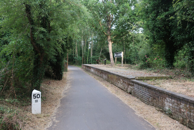
Hellesdon railway station
Hellesdon railway station is a former railway station in Norfolk, England, which served the area of Hellesdon, today virtually an outer suburb of Norwich...

The Gatehouse, Norwich
The Gatehouse is a Grade II listed public house in Norwich, England. It was built in 1934 for the Norwich-based Morgans Brewery, and replaced a 19th-century...

Bowthorpe Marsh
Bowthorpe Marsh is a 5.9-hectare (15-acre) Local Nature Reserve in Norwich in Norfolk. It is owned and managed by Norwich City Council.This site adjacent...
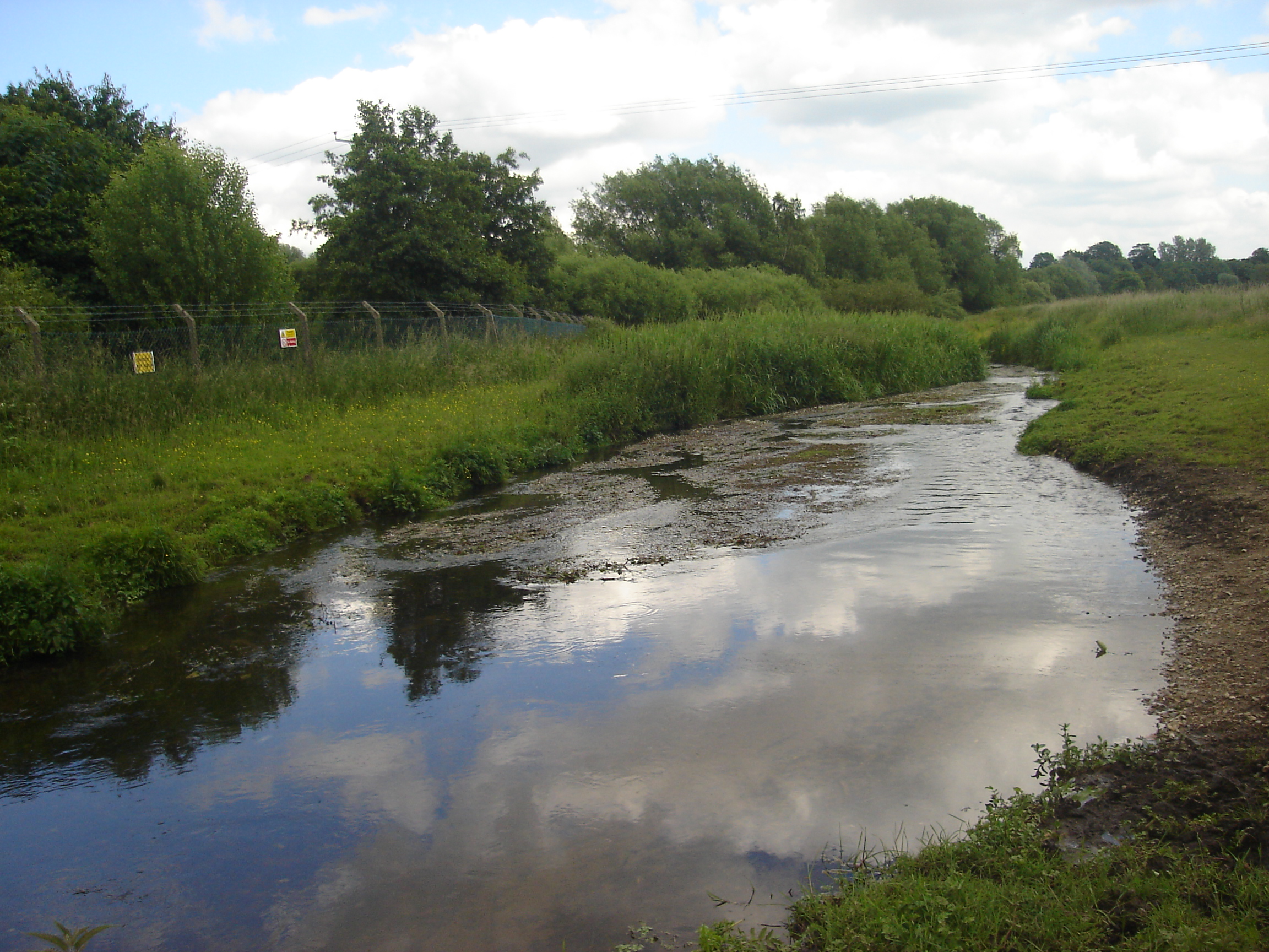
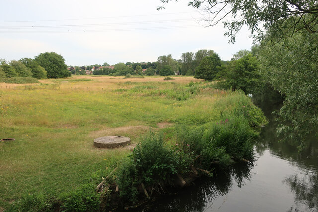
River Tud
River Tud is a tributary of the River Wensum, Norfolk in the East of England. The Tud's source is just south of East Dereham and it flows in an easterly...

Norwich Community Hospital
Norwich Community Hospital is a healthcare facility in Bowthorpe Road, Norwich, Norfolk, England. It is managed by Norfolk Community Health and Care NHS...

Earlham Park Woods
Earlham Park Woods is a 8.1-hectare (20-acre) Local Nature Reserve on the western outskirts of Norwich in Norfolk. It is owned and managed by Norwich...
Nearby Amenities
Located within 500m of 52.634939,1.2392313Have you been to Twenty Acre Wood?
Leave your review of Twenty Acre Wood below (or comments, questions and feedback).