Newton
Settlement in Lancashire Lancaster
England
Newton
Newton is a small village located in the county of Lancashire, in the North West of England. Situated just south of the larger town of Preston, Newton is part of the borough of Fylde. The village is surrounded by picturesque countryside, with rolling hills and farmland providing a charming rural setting.
Historically, Newton was an agricultural community, with farming being the primary occupation of its residents. Today, while farming still plays a role in the local economy, the village has seen some diversification, with a few small businesses and local services catering to the needs of the community.
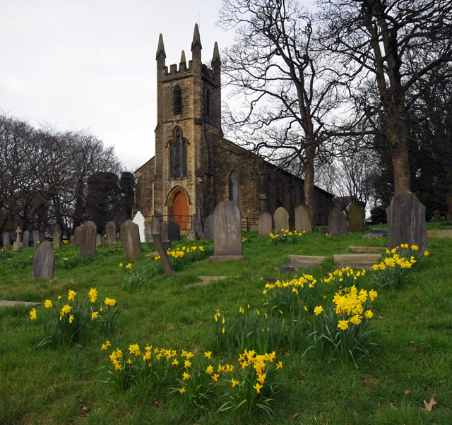
The village itself is relatively compact, with a small central area featuring a church, a primary school, and a few local shops. The church, dedicated to St. Michael and All Angels, is a notable landmark in the village, with its distinctive architecture dating back to the 19th century.
One of the highlights of Newton is its strong sense of community. The village hosts various events throughout the year, including a summer fair and a Christmas market, which bring residents together and foster a sense of belonging. Additionally, there are several community groups and clubs that offer opportunities for socializing and pursuing hobbies.
Newton's location provides easy access to the nearby larger towns and cities, making it an attractive place to live for those seeking a quieter, rural lifestyle while still having amenities within reach. With its idyllic countryside surroundings and tight-knit community, Newton offers a peaceful and welcoming environment for its residents.
If you have any feedback on the listing, please let us know in the comments section below.
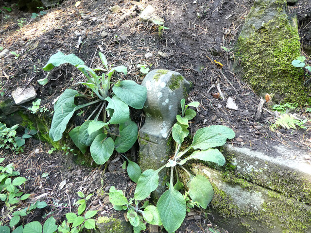
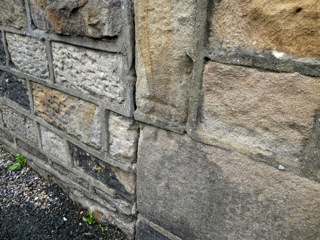
Newton Images
Images are sourced within 2km of 54.057276/-2.7899025 or Grid Reference SD4862. Thanks to Geograph Open Source API. All images are credited.
Newton is located at Grid Ref: SD4862 (Lat: 54.057276, Lng: -2.7899025)
Administrative County: Lancashire
District: Lancaster
Police Authority: Lancashire
What 3 Words
///abolish.flashback.pest. Near Lancaster, Lancashire
Nearby Locations
Related Wikis
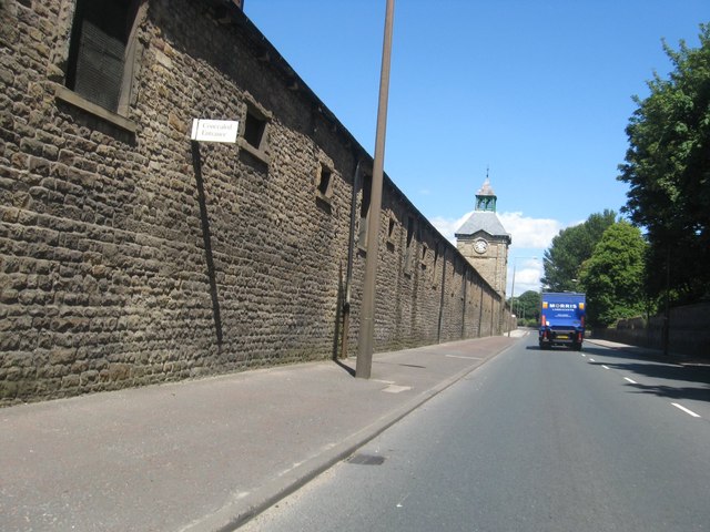
Lancaster Carriage and Wagon Works
The former Lancaster Carriage and Wagon Works is located in Caton Road, Lancaster, Lancashire, England. The works produced railway rolling stock and trams...
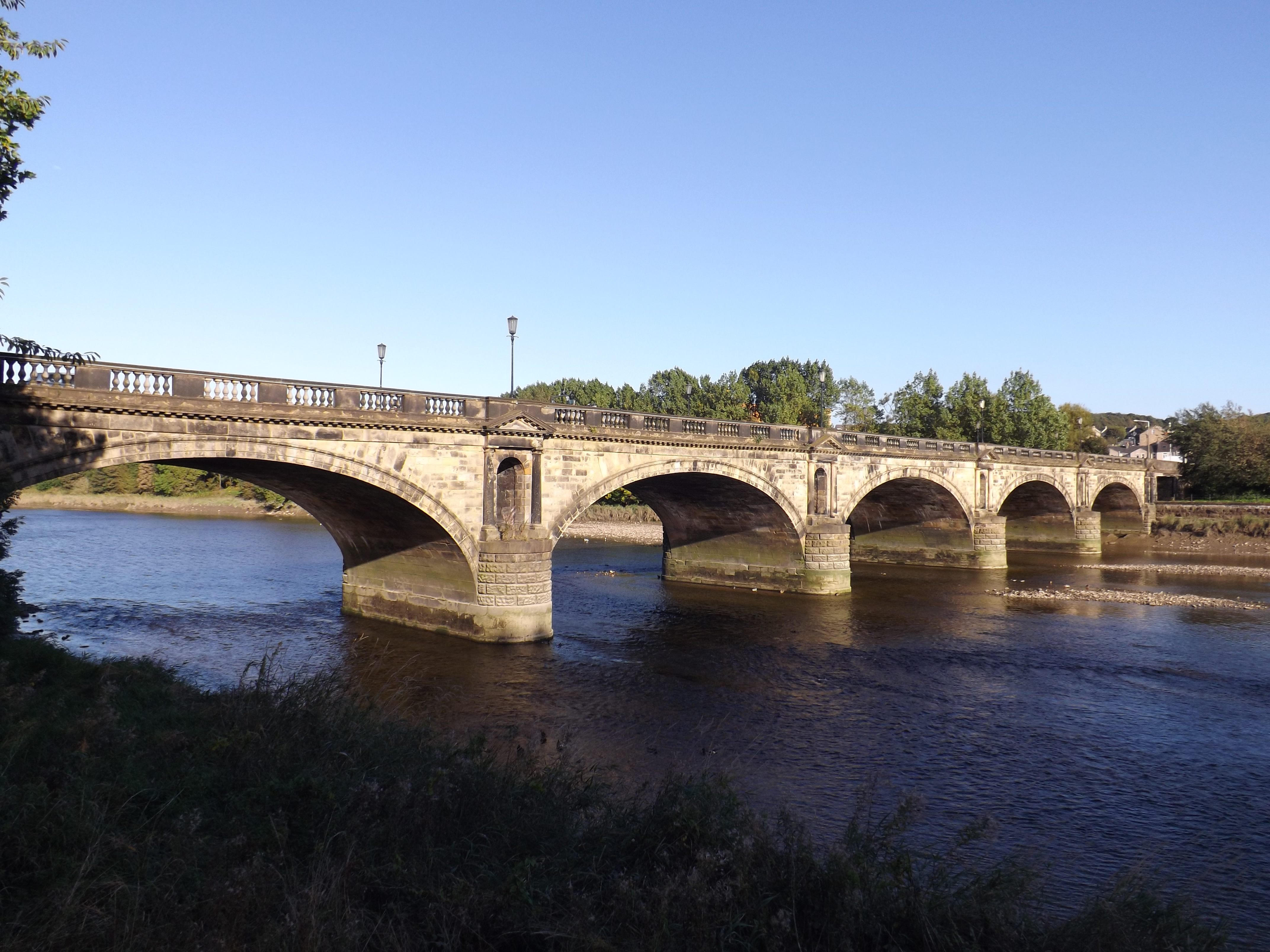
Skerton Bridge
Skerton Bridge is a road bridge carrying the southbound lanes of the A6 road over the River Lune in Lancaster, Lancashire, England. The bridge is recorded...
St Luke's Church, Skerton
St Luke's Church is an active Anglican church in the suburb of Skerton in Lancaster, Lancashire, England. It is a grade II listed building. It was built...

Skerton Community High School
Skerton Community High School was a secondary school in Skerton, Lancaster, England. == Foundation == Skerton Community High School was built by the Corporation...
Nearby Amenities
Located within 500m of 54.057276,-2.7899025Have you been to Newton?
Leave your review of Newton below (or comments, questions and feedback).