River Lune Millennium Park
Downs, Moorland in Lancashire Lancaster
England
River Lune Millennium Park
The River Lune Millennium Park is a stunning natural space located in the county of Lancashire, England. Spanning across the Downs and Moorland areas, this park offers visitors a diverse and picturesque landscape to explore.
Situated along the banks of the River Lune, the park covers a vast area of approximately 33 hectares. It is known for its rich biodiversity and serves as a haven for various plant and animal species. The park is home to a wide range of habitats, including wetlands, woodlands, meadows, and riverbanks, making it a perfect destination for nature enthusiasts and wildlife lovers.
Visitors to the River Lune Millennium Park can enjoy a variety of activities. The park features numerous walking and cycling trails, allowing visitors to explore the natural beauty at their own pace. The picturesque river offers opportunities for fishing and boating, while the meadows are ideal for picnics and relaxation.
The park also boasts several recreational facilities, including play areas for children and well-maintained sports fields. Additionally, educational programs and events are organized throughout the year to promote environmental awareness and engage visitors with the local ecosystem.
With its breathtaking scenery, abundant wildlife, and range of activities, the River Lune Millennium Park is a popular destination for both locals and tourists alike. Whether one seeks tranquility amidst nature or an active outdoor experience, this park offers something for everyone.
If you have any feedback on the listing, please let us know in the comments section below.
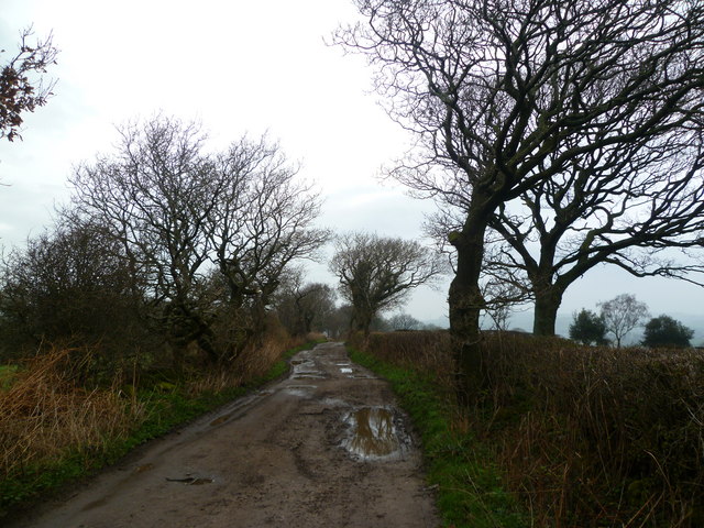
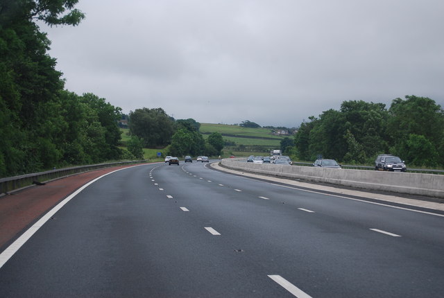
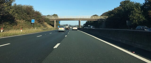
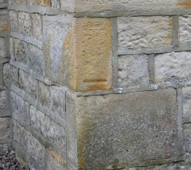
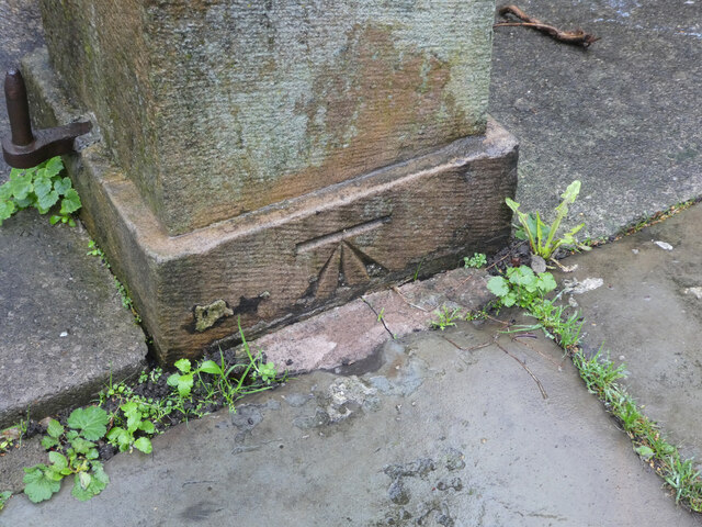
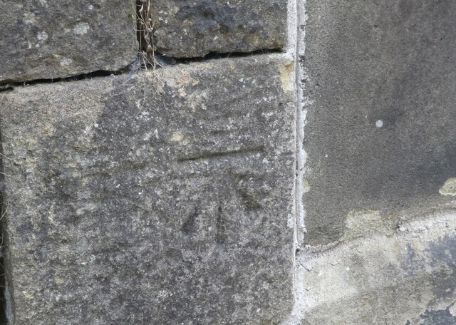
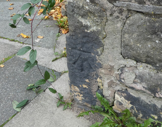
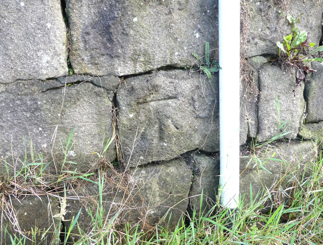
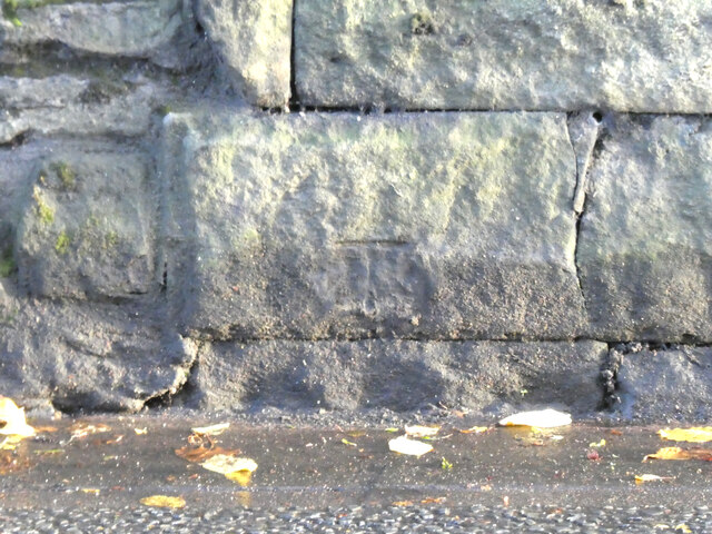
River Lune Millennium Park Images
Images are sourced within 2km of 54.05906/-2.7918766 or Grid Reference SD4862. Thanks to Geograph Open Source API. All images are credited.
River Lune Millennium Park is located at Grid Ref: SD4862 (Lat: 54.05906, Lng: -2.7918766)
Administrative County: Lancashire
District: Lancaster
Police Authority: Lancashire
What 3 Words
///indoor.famous.trap. Near Lancaster, Lancashire
Nearby Locations
Related Wikis
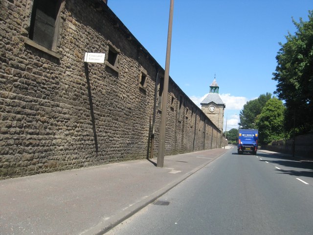
Lancaster Carriage and Wagon Works
The former Lancaster Carriage and Wagon Works is located in Caton Road, Lancaster, Lancashire, England. The works produced railway rolling stock and trams...

Lancaster John O' Gaunt Rowing Club
Lancaster John O'Gaunt Rowing Club (JOG) is an English rowing club based at Lancaster on the River Lune. Its origins date back to 1842 making it the fifth...

Skerton Community High School
Skerton Community High School was a secondary school in Skerton, Lancaster, England. == Foundation == Skerton Community High School was built by the Corporation...
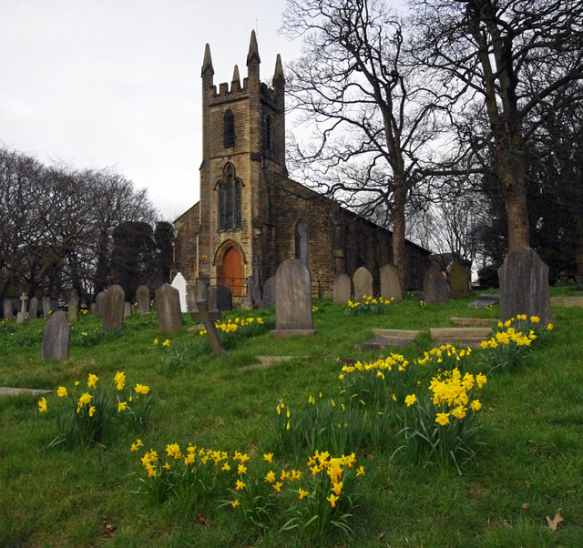
St Luke's Church, Skerton
St Luke's Church is an active Anglican church in the suburb of Skerton in Lancaster, Lancashire, England. It is a grade II listed building. It was built...
Nearby Amenities
Located within 500m of 54.05906,-2.7918766Have you been to River Lune Millennium Park?
Leave your review of River Lune Millennium Park below (or comments, questions and feedback).