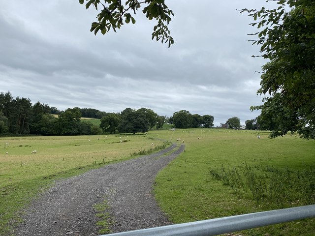
Itton Common
Downs, Moorland in Monmouthshire
Wales
Itton Common

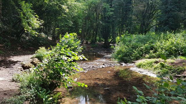
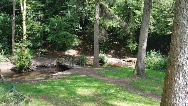
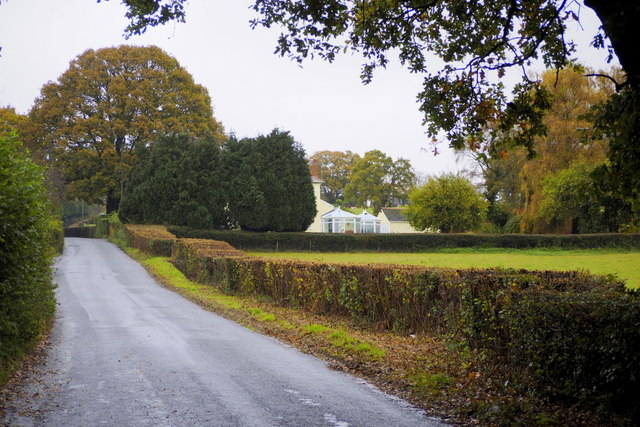
Itton Common is a scenic area located in Monmouthshire, Wales. This beautiful expanse of land is primarily known for its downs and moorland, making it a popular spot for outdoor enthusiasts and nature lovers.
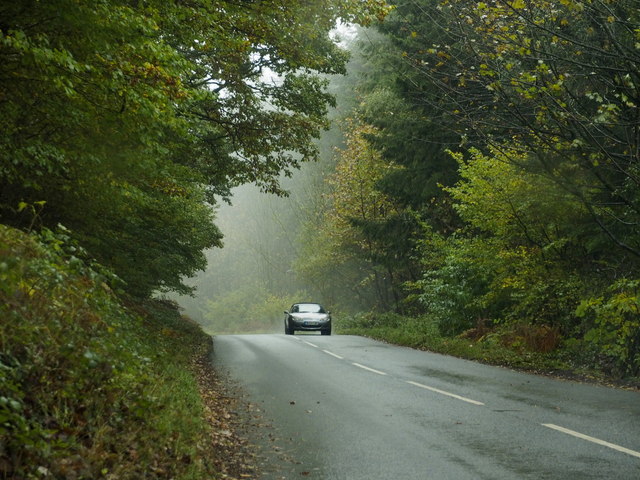
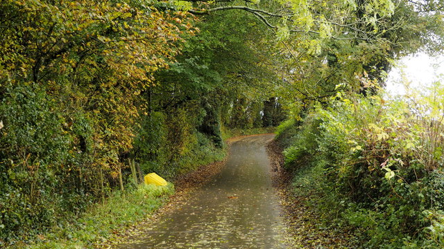
The common is situated in the eastern part of Monmouthshire, near the village of Itton. It covers a vast area, with rolling hills and open fields stretching as far as the eye can see. The downs, characterized by their gently sloping grassy hills, offer breathtaking views of the surrounding countryside.
The moorland in Itton Common consists of expanses of open, sparsely vegetated land, often dotted with heather and gorse. This unique landscape provides a habitat for a variety of wildlife, including birds and small mammals. It is also home to several rare plant species, adding to the area's ecological significance.
Visitors to Itton Common can enjoy a range of activities. The extensive network of footpaths and trails allow for leisurely walks and hikes, providing ample opportunities to explore the natural beauty of the area. The common is also a popular destination for birdwatching, with many species of birds making it their home or passing through during migration.
The peaceful and tranquil atmosphere of Itton Common makes it an ideal place for relaxation and escape from the hustle and bustle of everyday life. Whether you are an avid hiker, nature enthusiast, or simply seeking a serene environment, Itton Common is a must-visit destination in Monmouthshire.
If you have any feedback on the listing, please let us know in the comments section below.
Itton Common Images
Images are sourced within 2km of 51.658789/-2.7492926 or Grid Reference ST4895. Thanks to Geograph Open Source API. All images are credited.


Itton Common is located at Grid Ref: ST4895 (Lat: 51.658789, Lng: -2.7492926)
Unitary Authority: Monmouthshire
Police Authority: Gwent
What 3 Words
///knee.searching.veered. Near Chepstow, Monmouthshire
Nearby Locations
Related Wikis
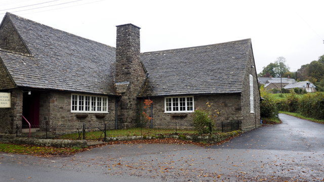
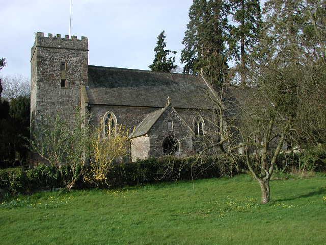
Itton Court
Itton Court, Itton, Devauden, Monmouthshire is a country house. The origin of the house was as an outstation for Chepstow Castle. In the 18th century,...

Itton
Itton (Welsh: Llanddinol), is a small village in Monmouthshire, south-east Wales, in the community of Devauden about 3 miles (4.8 km) north-west of Chepstow...

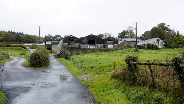
Howick Farmhouse, Itton
Howick Farmhouse, in the hamlet of Howick, near Itton, Monmouthshire is a farmhouse dating from the mid-16th century. It is a Grade II* listed building...

Shirenewton
Shirenewton (Welsh: Drenewydd Gelli-farch) is a village and community in Monmouthshire, south east Wales. It is located 3 miles due west of Chepstow,...
Church of St Thomas a Becket, Shirenewton
The Church of St Thomas a Becket is located in Shirenewton, Monmouthshire, Wales. In the late 12th century the land was inherited by Henry de Bohun. The...

Shirenewton Hall
Shirenewton Hall, originally Shirenewton Court, is a country house and estate adjoining the village of Shirenewton, Monmouthshire, Wales, about 3 miles...

Kilgwrrwg
Kilgwrrwg (Welsh: Cilgwrrwg) is a rural parish in Monmouthshire, south east Wales, United Kingdom. It is located 7 miles (11 km) north west of Chepstow...

Devauden
Devauden (Welsh: Y Dyfawden) is a village and community in Monmouthshire, southeast Wales. It is located between Chepstow and Monmouth near the top of...
Nearby Amenities
Located within 500m of 51.658789,-2.7492926Have you been to Itton Common?
Leave your review of Itton Common below (or comments, questions and feedback).