Newton

Settlement in Staffordshire Staffordshire Moorlands

England

Newton

Old Milestone, Threapwood Head Cast iron post by the B5032, in parish of ALTON (STAFFORDSHIRE MOORLANDS District), by hedge, on North side of road. Cochrane iron casting, erected by the County Council in the 20th century.

Inscription reads:-
: ALTON 2½ / DENSTONE 4½ / ELLASTONE 6¼ / ASHBOURNE 11 : : ALTON / PARISH : : CHEADLE 2 :
Maker:- Cochrane & Co, Dudley. :

Milestone Society National ID: ST_ABCD11
Old Milestone, Threapwood Head Credit: Ivan Clare

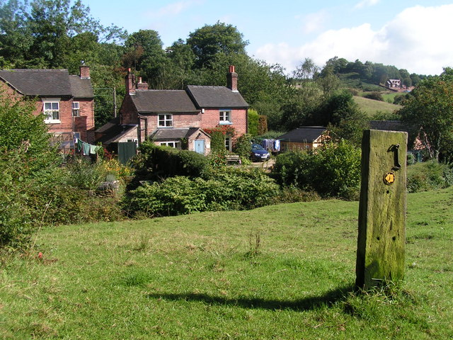
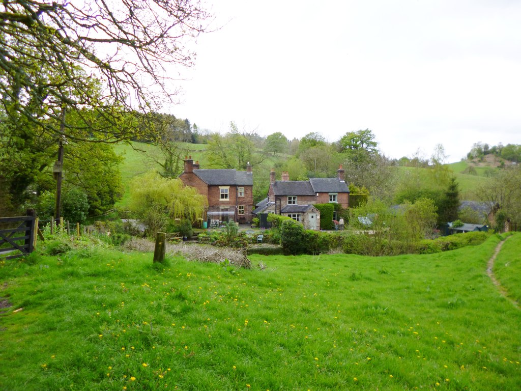
Newton is a charming village located in the county of Staffordshire, in the West Midlands region of England. Situated approximately 7 miles east of the bustling city of Stoke-on-Trent, Newton offers a peaceful and picturesque setting for residents and visitors alike.

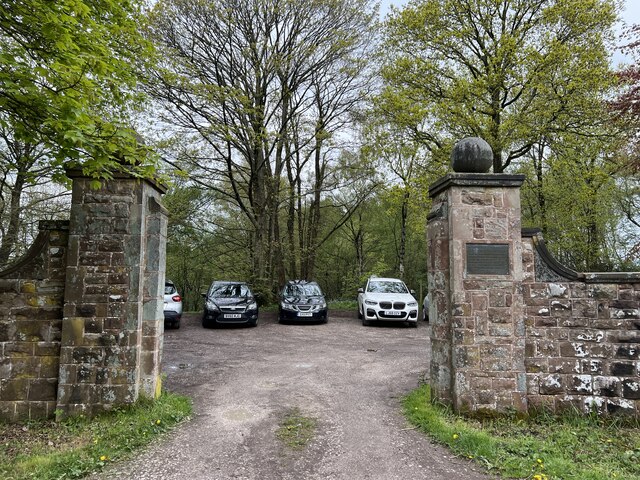
The village is known for its rich history, dating back to medieval times. It is home to several historic buildings, including St. Margaret's Church, which dates back to the 13th century and showcases stunning architectural features. Additionally, the Newton Hall, a Grade II listed building, adds to the village's architectural appeal.

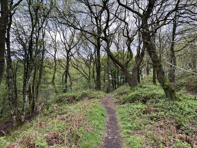
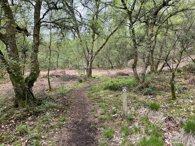
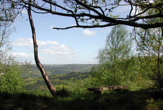
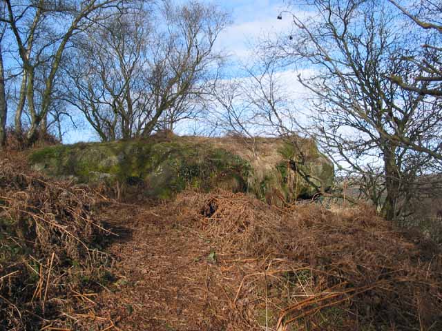
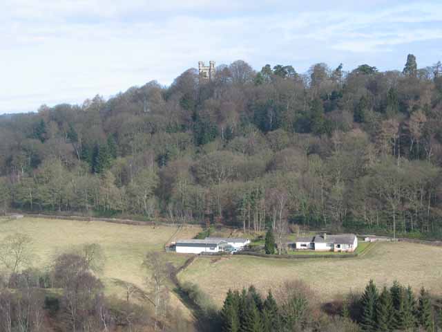
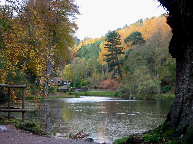
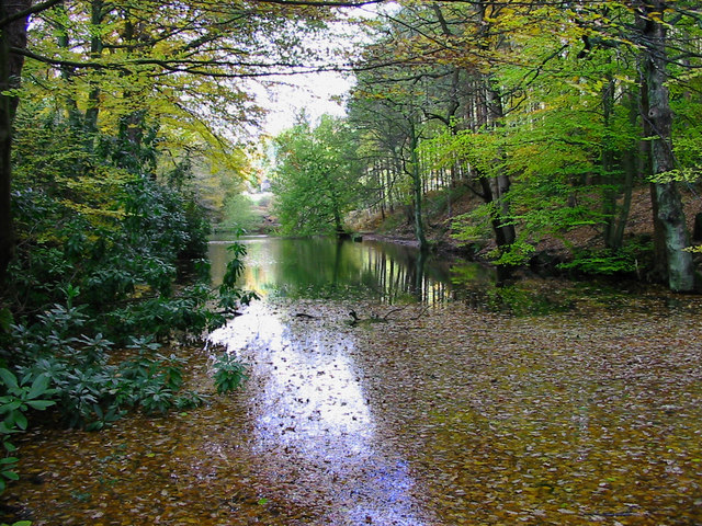
Nature enthusiasts will find plenty to explore in Newton. The village is surrounded by beautiful countryside, with rolling hills and scenic walking trails. The nearby River Trent offers opportunities for fishing and boating, making it a popular spot for outdoor activities.

Despite its tranquil atmosphere, Newton is well-connected to larger towns and cities. The A50 road runs close to the village, providing convenient access to both Stoke-on-Trent and Derby. Public transportation options include regular bus services, making it easy to travel to nearby areas.

In terms of amenities, Newton boasts a range of local shops, including convenience stores and small businesses. There are also several pubs and restaurants, where visitors can enjoy traditional English cuisine and experience the warm hospitality of the locals.

Overall, Newton, Staffordshire, offers a delightful mix of history, natural beauty, and convenient amenities, making it an appealing destination for those seeking a peaceful retreat in the heart of England.

If you have any feedback on the listing, please let us know in the comments section below.
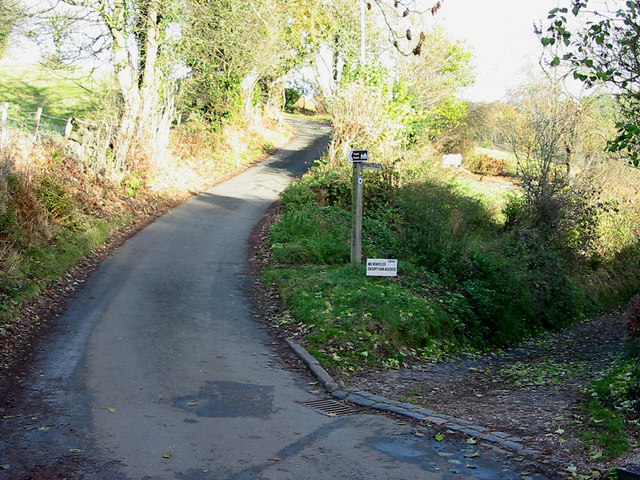
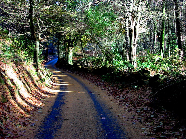
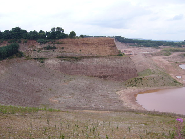
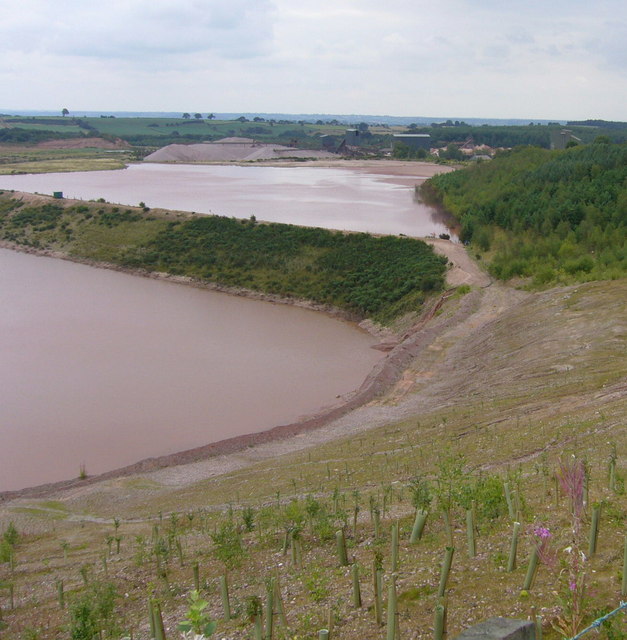
Newton Images

Images are sourced within 2km of 52.980969/-1.9341876 or Grid Reference SK0442. Thanks to Geograph Open Source API. All images are credited.

Old Milestone, Threapwood Head Cast iron post by the B5032, in parish of ALTON (STAFFORDSHIRE MOORLANDS District), by hedge, on North side of road. Cochrane iron casting, erected by the County Council in the 20th century.

Inscription reads:-
: ALTON 2½ / DENSTONE 4½ / ELLASTONE 6¼ / ASHBOURNE 11 : : ALTON / PARISH : : CHEADLE 2 :
Maker:- Cochrane & Co, Dudley. :

Milestone Society National ID: ST_ABCD11
Old Milestone, Threapwood Head
Cast iron post by the B5032, in parish of ALTON (STAFFORDSHIRE MOORLANDS District), by hedge, on North side of road. Cochrane iron casting, erected by the County Council in the 20th century. Inscription reads:- : ALTON 2½ / DENSTONE 4½ / ELLASTONE 6¼ / ASHBOURNE 11 : : ALTON / PARISH : : CHEADLE 2 : Maker:- Cochrane & Co, Dudley. : Milestone Society National ID: ST_ABCD11
Churnet Valley flood plain
The Ramblers' Retreat A deservedly popular cafe and tea room in Dimmingsdale.
The Ramblers' Retreat
A deservedly popular cafe and tea room in Dimmingsdale.
Highshutt entrance to Hawksmoor NT Hawksmoor is an ancient steep-sided oak woodland
Highshutt entrance to Hawksmoor NT
Hawksmoor is an ancient steep-sided oak woodland
Path through Hawksmoor NT Hawksmoor is an ancient steep-sided oak woodland east of Cheadle in Staffordshire towards Oakamoor. It is managed by the National Trust. The habitat attracts specialised bird species such as Wood Warbler and Pied Flycatcher.
Path through Hawksmoor NT
Hawksmoor is an ancient steep-sided oak woodland east of Cheadle in Staffordshire towards Oakamoor. It is managed by the National Trust. The habitat attracts specialised bird species such as Wood Warbler and Pied Flycatcher.
Car parking for Hawksmoor NT 'Limited parking for approx. 6 cars' states the National Trust website, and this is it. However even more limited off-road parking is possible at Highshutt further west outside the entrance shown here <a title="https://www.geograph.org.uk/photo/7667028" href="https://www.geograph.org.uk/photo/7667028">Link</a>
Car parking for Hawksmoor NT
'Limited parking for approx. 6 cars' states the National Trust website, and this is it. However even more limited off-road parking is possible at Highshutt further west outside the entrance shown here Link
Path through Hawksmoor NT Hawksmoor is an ancient steep-sided oak woodland east of Cheadle in Staffordshire towards Oakamoor. It is managed by the National Trust. The habitat attracts specialised bird species such as Wood Warbler and Pied Flycatcher.
Path through Hawksmoor NT
Hawksmoor is an ancient steep-sided oak woodland east of Cheadle in Staffordshire towards Oakamoor. It is managed by the National Trust. The habitat attracts specialised bird species such as Wood Warbler and Pied Flycatcher.
View from Hawksmoor Reserve (NT)
Toothill Rock Toothill Rock - a popular viewpoint above the River Churnet, Alton
Toothill Rock
Toothill Rock - a popular viewpoint above the River Churnet, Alton
View from Toothill Rock View across the Churnet Valley from Toothill Rock towards the Flag Tower (just inside <a href="https://www.geograph.org.uk/gridref/SK0643">SK0643</a>) part of the Alton Towers Leisure Park complex.
View from Toothill Rock
View across the Churnet Valley from Toothill Rock towards the Flag Tower (just inside SK0643) part of the Alton Towers Leisure Park complex.
View up the Churnet Valley from Toothill Rock View north west up the Churnet Valley from Toothill Rock.
View up the Churnet Valley from Toothill Rock
View north west up the Churnet Valley from Toothill Rock.
Dimmingsdale Dimmingsdale in all its autumnal glory showing one of the holding ponds built to hold water used in the adjacent smelting mill, now a private residence.
Dimmingsdale
Dimmingsdale in all its autumnal glory showing one of the holding ponds built to hold water used in the adjacent smelting mill, now a private residence.
Dimmingsdale in Autumn Autumnal leaves cover one of several ponds in Dimmingsdale in the Staffordshire Moorlands.
Dimmingsdale in Autumn
Autumnal leaves cover one of several ponds in Dimmingsdale in the Staffordshire Moorlands.
Country Lane The Threapwood to Oakamoor road showing the western entrance to Dimmingsdale
Country Lane
The Threapwood to Oakamoor road showing the western entrance to Dimmingsdale
Autumn Lane A country lane near Oakamoor in the Staffordshire Moorlands covered in pine needles.
Autumn Lane
A country lane near Oakamoor in the Staffordshire Moorlands covered in pine needles.
Croxden Quarry Freehay. Until a few years ago Counslow Road ran more or less level from the photographer's position to the top of the far cliff (a point about one third of the picture width from the left hand edge). The current Multimap aerial image <span class="nowrap"><a title="http://www.multimap.com/map/photo.cgi?x=402638&y=341787&scale=10000" rel="nofollow ugc noopener" href="http://www.multimap.com/map/photo.cgi?x=402638&y=341787&scale=10000">Link</a><img style="margin-left:2px;" alt="External link" title="External link - shift click to open in new window" src="https://s1.geograph.org.uk/img/external.png" width="10" height="10"/></span> shows the road intact and the new Counslow Road being constructed in a sweeping curve to the west and north. The new road opened in 2000 at a cost of £2 million. Since then Tarmac, the quarry operators have carved out this great trench.
Croxden Quarry
Freehay. Until a few years ago Counslow Road ran more or less level from the photographer's position to the top of the far cliff (a point about one third of the picture width from the left hand edge). The current Multimap aerial image LinkExternal link shows the road intact and the new Counslow Road being constructed in a sweeping curve to the west and north. The new road opened in 2000 at a cost of £2 million. Since then Tarmac, the quarry operators have carved out this great trench.
Croxden Quarry in Freehay. From the same viewpoint as <a href="https://www.geograph.org.uk/photo/223705">SK0241 : Croxden Quarry</a>. The sand and gravel processing plants can be seen in the distance. In the foreground the quarry operators, Tarmac have already started tree planting for the eventual restoration of the site.
Croxden Quarry
in Freehay. From the same viewpoint as SK0241 : Croxden Quarry. The sand and gravel processing plants can be seen in the distance. In the foreground the quarry operators, Tarmac have already started tree planting for the eventual restoration of the site.
Oldfurnace Cottages at Oldfurnace from the footpath to Newton.
Oldfurnace
Cottages at Oldfurnace from the footpath to Newton.
Show me another place!

Newton is located at Grid Ref: SK0442 (Lat: 52.980969, Lng: -1.9341876)

Administrative County: Staffordshire

District: Staffordshire Moorlands

Police Authority: Staffordshire

What 3 Words

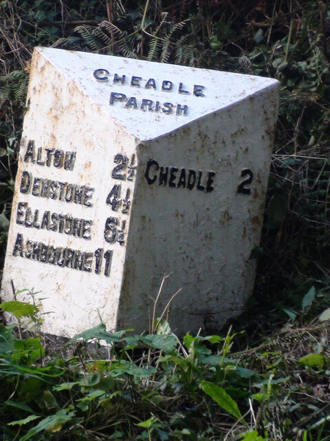
///rebounder.nurtures.winded. Near Cheadle, Staffordshire

Nearby Locations

Newton Brownbank Wood

Related Wikis

The Old Furnace

The Old Furnace is a colloquial name given to an historic site in Oakamoor, Staffordshire, England, that supported the development of medieval and post...

Bradley in the Moors

Bradley in the Moors is a village and former civil parish, now in the parish of Alton, in the Staffordshire Moorlands district, in the county of Staffordshire...

Oakamoor railway station

Oakamoor railway station is a closed railway station in the Churnet Valley, Staffordshire. The station was opened in 1849 as part of the Churnet Valley...

Oakamoor Tunnel

Oakamoor Tunnel is a disused 497-yard (454 m) long tunnel located north of Oakamoor railway station on the former Uttoxeter to North Rode section of the...

Chained Oak

The Chained Oak is an oak tree, tied in chains, near to the village of Alton, Staffordshire, England. The tree, referred to as "The Old Oak", is the subject...

Farley, Staffordshire

Farley is a hamlet and civil parish in the Staffordshire Moorlands district, in the English county of Staffordshire. It is near to the villages of Alton...

Oakamoor

Oakamoor is a small village in north Staffordshire, England. Although it is now a rural area, it has an industrial past which drew on the natural resources...

Submission (Alton Towers)

Submission was a theme park ride at Alton Towers in Staffordshire, England from 2001 until 2013. It was a Chance Rides double swinging inverter. ��2...

Nearby Amenities

Located within 500m of 52.980969,-1.9341876
Bus Stop
The Elms
Naptan AtcoCode: 3800C836601
Naptan Bearing: E
Naptan CommonName: The Elms
Naptan Indicator: Adj
Naptan Landmark: The Elms
Naptan Street: B5032
Naptan Verified: no
Source: naptan_import
Lat/Long: 52.9812293/-1.9371905
Barrier: stile
Material: steel
Source: survey
Stile: squeezer
Lat/Long: 52.9831075/-1.9343398
Barrier: stile
Material: wood
Source: survey
Stile: stepover
Lat/Long: 52.9831634/-1.9342814
Barrier: stile
Material: wood
Source: survey
Stile: stepover
Lat/Long: 52.9839272/-1.9332529
Barrier: stile
Material: steel
Source: survey;gps
Stile: squeezer
Lat/Long: 52.9844041/-1.9303666
Barrier: cattle_grid
Source: survey
Lat/Long: 52.9844005/-1.9354574
Barrier: stile
Material: wood
Source: survey;gps
Stile: squeezer
Lat/Long: 52.9838369/-1.9327841
Barrier: stile
Material: wood
Source: survey;gps
Stile: stepover
Lat/Long: 52.9801643/-1.9344814
Barrier: stile
Material: wood
Source: survey;gps
Stile: stepover
Lat/Long: 52.9803507/-1.9337467
The data included in this document is from www.openstreetmap.org. The data is made available under ODbL.

Have you been to Newton?

Leave your review of Newton below (or comments, questions and feedback).