Newton

Settlement in Lancashire Fylde

England

Newton

Saint John the Evangelist church
Saint John the Evangelist church Credit: Tim Glover

Newton is a small village located in the county of Lancashire, in the northwest region of England. Situated near the Forest of Bowland, it is nestled in a picturesque countryside setting. The village is part of the district of Ribble Valley and is approximately four miles east of Clitheroe, the nearest town.

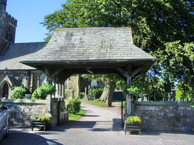
With a population of around 1,000 residents, Newton has a tight-knit community atmosphere. The village is known for its charming stone-built houses, many of which date back to the 18th and 19th centuries, adding to its traditional character. The village features a mix of residential properties, including cottages, farmhouses, and larger family homes.

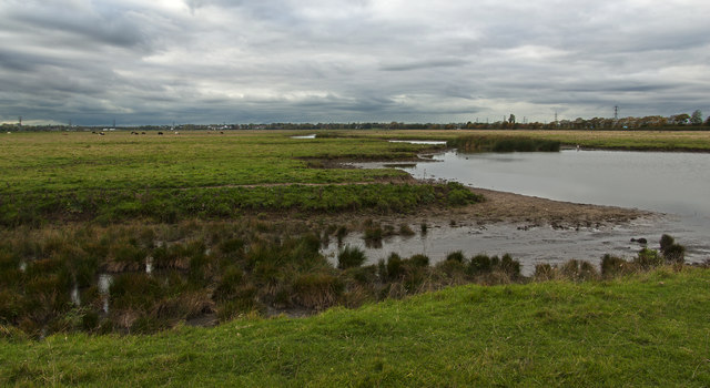
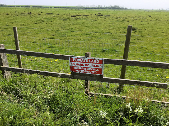
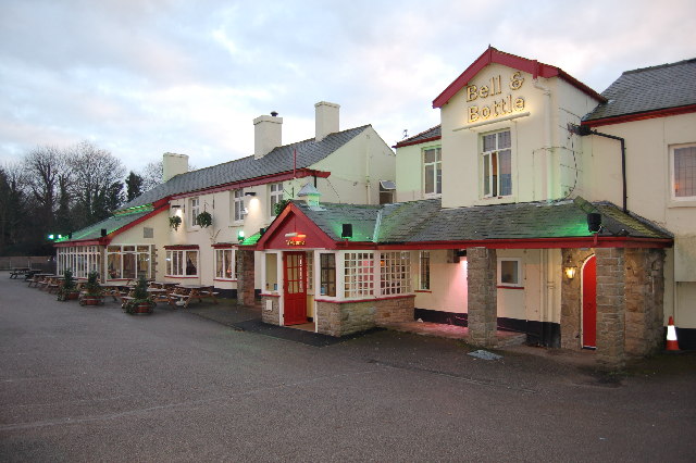
The village is surrounded by stunning natural beauty, with rolling hills and farmland dominating the landscape. The nearby River Hodder flows through the area, offering opportunities for leisurely walks and fishing. Newton is also home to a number of traditional pubs and inns, where visitors can experience the local hospitality and sample Lancashire's renowned ale.

While primarily an agricultural community, Newton benefits from its proximity to larger towns and cities. Clitheroe, with its range of shops, restaurants, and amenities, is easily accessible, providing residents with convenient access to services and employment opportunities.

In conclusion, Newton, Lancashire is a charming and tranquil village that offers a peaceful rural lifestyle amidst beautiful natural surroundings. With its rich history, friendly community, and proximity to larger towns, it provides a desirable location for those seeking a picturesque countryside retreat.

If you have any feedback on the listing, please let us know in the comments section below.

Newton Images

Images are sourced within 2km of 53.769217/-2.8402548 or Grid Reference SD4430. Thanks to Geograph Open Source API. All images are credited.

Saint John the Evangelist church
Old Milestone by A583, Newton with Scales The Milestone is located by the road on the North of the road.  Parish of Newton With Clifton (Fylde District). Carved stone post, Lancs CC stone triangle design, erected by the County Council in the 19th/20th century. Minor chips on front edge, larger RHS lower. An earlier photograph can be found here:  <a title="https://www.geograph.org.uk/photo/6096201" href="https://www.geograph.org.uk/photo/6096201">Link</a>

Inscription reads:-  
PRESTON / 6¾ MILES : : KIRKHAM / 1 ¾ MILES / BLACKPOOL / 11 MILES : : NEWTON  
Milestone Society National ID: LA_BPPS11
Old Milestone by A583, Newton with Scales
The Milestone is located by the road on the North of the road.  Parish of Newton With Clifton (Fylde District). Carved stone post, Lancs CC stone triangle design, erected by the County Council in the 19th/20th century. Minor chips on front edge, larger RHS lower. An earlier photograph can be found here:  Link Inscription reads:- PRESTON / 6¾ MILES : : KIRKHAM / 1 ¾ MILES / BLACKPOOL / 11 MILES : : NEWTON Milestone Society National ID: LA_BPPS11
Old Milestone by the road (was A583), Clifton; West end village The Milestone is located by the road on the North of the road.  Parish of Newton With Clifton (Fylde District). Carved stone post, Lancs CC stone triangle design, erected by the County Council in the 19th/20th century. Minor chips on edges. An earlier photograph can be found here:  <a title="https://www.geograph.org.uk/photo/6048488" href="https://www.geograph.org.uk/photo/6048488">Link</a> 

Inscription reads:-  
PRESTON / 5¾ MILES : : KIRKHAM / 2¾ MILES / BLACKPOOL / 12 MILES : : CLIFTON-WITH- / SALWICK  

Milestone Society National ID: LA_BPPS12
Old Milestone by the road (was A583), Clifton; West end village
The Milestone is located by the road on the North of the road.  Parish of Newton With Clifton (Fylde District). Carved stone post, Lancs CC stone triangle design, erected by the County Council in the 19th/20th century. Minor chips on edges. An earlier photograph can be found here:  Link Inscription reads:- PRESTON / 5¾ MILES : : KIRKHAM / 2¾ MILES / BLACKPOOL / 12 MILES : : CLIFTON-WITH- / SALWICK Milestone Society National ID: LA_BPPS12
Newton Marsh, Freckleton
Freckleton Marsh
Freckleton Marsh
This footpath leads from here to the main road
A Lockheed Lightning coming in to land at Wharton
Preston New Road in Freckleton
Preston New Road heading east
Junction of Preston Old Road and Lower Lane
Junction of Preston Old Road and Lower Lane, Freckleton
Preston New Road (A584) East of Freckleton Although the A584 is not usually a particularly busy road (except in peak summer seasons and when the Blackpool Illuminations are on), the section from Clifton to Freckleton is a wide dual carriageway with several laybys; this section has a wide, tree-lined central reservation (created when it was converted to dual carriageway in the 1960s). Until fairly recently, the road had a 70 mph speed limit as far as the eastern edge of Freckleton but is now a 50 mph limit from the start of the road until the western end of the 1990s Freckleton Bypass.
Preston New Road (A584) East of Freckleton
Although the A584 is not usually a particularly busy road (except in peak summer seasons and when the Blackpool Illuminations are on), the section from Clifton to Freckleton is a wide dual carriageway with several laybys; this section has a wide, tree-lined central reservation (created when it was converted to dual carriageway in the 1960s). Until fairly recently, the road had a 70 mph speed limit as far as the eastern edge of Freckleton but is now a 50 mph limit from the start of the road until the western end of the 1990s Freckleton Bypass.
Field to the south of Preston New Road Clearly marked "Private Land".
Field to the south of Preston New Road
Clearly marked "Private Land".
Bus Stop on Preston New Road near Freckleton Although the A584 is not usually a particularly busy road (except in peak summer seasons and when the Blackpool Illuminations are on), the section from Clifton to Freckleton is a wide dual carriageway with several laybys; this section has a wide, tree-lined central reservation (created when it was converted to dual carriageway in the 1960s). Until fairly recently, the road had a 70 mph speed limit as far as the eastern edge of Freckleton but is now a 50 mph limit from the start of the road until the western end of the 1990s Freckleton Bypass.
Bus Stop on Preston New Road near Freckleton
Although the A584 is not usually a particularly busy road (except in peak summer seasons and when the Blackpool Illuminations are on), the section from Clifton to Freckleton is a wide dual carriageway with several laybys; this section has a wide, tree-lined central reservation (created when it was converted to dual carriageway in the 1960s). Until fairly recently, the road had a 70 mph speed limit as far as the eastern edge of Freckleton but is now a 50 mph limit from the start of the road until the western end of the 1990s Freckleton Bypass.
Preston New Road towards Freckleton Although the A584 is not usually a particularly busy road (except in peak summer seasons and when the Blackpool Illuminations are on), the section from Clifton to Freckleton is a wide dual carriageway with several laybys; this section has a wide, tree-lined central reservation (created when it was converted to dual carriageway in the 1960s). Until fairly recently, the road had a 70 mph speed limit as far as the eastern edge of Freckleton but is now a 50 mph limit from the start of the road until the western end of the 1990s Freckleton Bypass.
Preston New Road towards Freckleton
Although the A584 is not usually a particularly busy road (except in peak summer seasons and when the Blackpool Illuminations are on), the section from Clifton to Freckleton is a wide dual carriageway with several laybys; this section has a wide, tree-lined central reservation (created when it was converted to dual carriageway in the 1960s). Until fairly recently, the road had a 70 mph speed limit as far as the eastern edge of Freckleton but is now a 50 mph limit from the start of the road until the western end of the 1990s Freckleton Bypass.
Preston New Road (A584) looking East Although the A584 is not usually a particularly busy road (except in peak summer seasons and when the Blackpool Illuminations are on), the section from Clifton to Freckleton is a wide dual carriageway with several laybys; this section has a wide, tree-lined central reservation (created when it was converted to dual carriageway in the 1960s). Until fairly recently, the road had a 70 mph speed limit as far as the eastern edge of Freckleton but is now a 50 mph limit from the start of the road until the western end of the 1990s Freckleton Bypass.
Preston New Road (A584) looking East
Although the A584 is not usually a particularly busy road (except in peak summer seasons and when the Blackpool Illuminations are on), the section from Clifton to Freckleton is a wide dual carriageway with several laybys; this section has a wide, tree-lined central reservation (created when it was converted to dual carriageway in the 1960s). Until fairly recently, the road had a 70 mph speed limit as far as the eastern edge of Freckleton but is now a 50 mph limit from the start of the road until the western end of the 1990s Freckleton Bypass.
Show me another place!

Newton is located at Grid Ref: SD4430 (Lat: 53.769217, Lng: -2.8402548)

Administrative County: Lancashire

District: Fylde

Police Authority: Lancashire

What 3 Words

///fatherly.visa.goods. Near Freckleton, Lancashire

Nearby Locations

Newton-with-Scales Newton

Related Wikis

Newton-with-Scales

Newton-with-Scales is a village and former civil parish, now in the parish of Newton-with-Clifton, in the Fylde district, in the county of Lancashire,...

Newton-with-Clifton

Newton-with-Clifton is a civil parish in the Borough of Fylde and ceremonial county of Lancashire in England. It had a population of 2,735 at the 2011...

Quaker's Wood

Quaker's Wood (also known as "Twill Furlong") is a Quaker burial ground in the parish of Freckleton, near Preston, Lancashire, which was established in...

St John the Evangelist's Church, Clifton

St John the Evangelist's Church, also known as Lund Parish Church, is located on an isolated site near the village of Clifton, Lancashire, England. It...

Nearby Amenities

Located within 500m of 53.769217,-2.8402548
Newton-with-Scales
Place: village
Source: npe and gazetteer
Lat/Long: 53.771082/-2.8375755
Turning Circle
Lat/Long: 53.7705767/-2.8396829
Power: tower
Source: Bing
Lat/Long: 53.7670985/-2.8432054
Power: tower
Source: Bing
Lat/Long: 53.7674853/-2.8396864
Power: tower
Source: Bing
Lat/Long: 53.7673965/-2.8465635
Power: tower
Source: Bing
Lat/Long: 53.7678024/-2.8359205
Post Office
Newton Village Post Office
Addr City: Preston
Addr Country: GB
Addr Postcode: PR4 3RN
Addr Suburb: Newton-with-Scales
Branch: Newton Village
Brand: Post Office
Brand Wikidata: Q1783168
Check Date: 2020-02-20
Contact Website: https://www.postoffice.co.uk/branch-finder/2114275/newton-village
Ref Pol Id: 7632
Lat/Long: 53.7710595/-2.8412299
Post Box
Post Box Design: type_k
Post Box Type: pillar
Royal Cypher: EIIR
Royal Cypher Wikidata: Q33102113
Lat/Long: 53.771124/-2.8410472
Atm
Lat/Long: 53.7711552/-2.8412155
Select Convenience
Shop: convenience
Lat/Long: 53.771115/-2.8412548
Turning Circle
Noexit: yes
Lat/Long: 53.7703049/-2.8357972
The data included in this document is from www.openstreetmap.org. The data is made available under ODbL.

Have you been to Newton?

Leave your review of Newton below (or comments, questions and feedback).