Millwood
Settlement in Yorkshire
England
Millwood

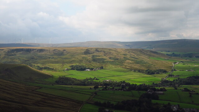
Millwood is a charming village located in the picturesque region of Yorkshire, England. Situated in the heart of the county, it is nestled amidst rolling hills and lush green landscapes, offering a tranquil and idyllic setting for its residents and visitors.
With a population of around 1,500 people, Millwood is a close-knit community that exudes a warm and welcoming atmosphere. The village is renowned for its traditional stone-built houses, which add to its quaint and timeless appeal. The local architecture reflects the area's rich history, with some buildings dating back several centuries.
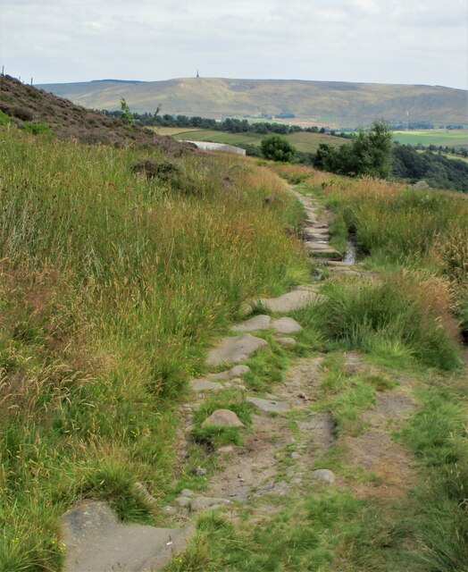
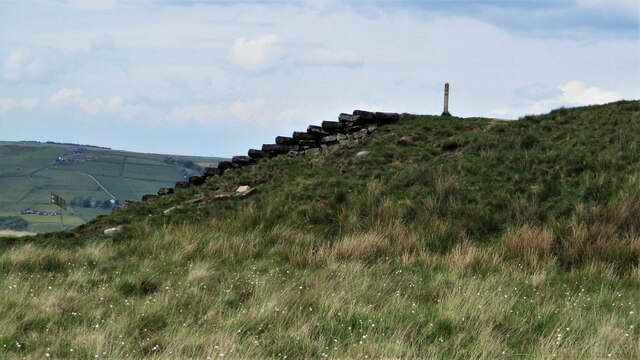
Nature enthusiasts will find themselves in paradise in Millwood, as the village is surrounded by breathtaking natural beauty. The nearby Millwood Forest offers a haven for outdoor activities, such as hiking and bird-watching, allowing visitors to immerse themselves in the region's stunning flora and fauna.
Despite its rural charm, Millwood is well-connected to the wider region. The village boasts excellent transport links, with a nearby train station providing easy access to major cities like Leeds and York. This makes Millwood an ideal place for those seeking a peaceful countryside retreat while still being within reach of urban amenities.
The village also caters to the needs of its residents with various amenities, including a local school, a community center, and a small selection of shops and cafes. The sense of community is further fostered by regular events and festivals, which bring the villagers together to celebrate their shared heritage and traditions.
Overall, Millwood offers a serene and picturesque escape in the heart of Yorkshire, combining natural beauty, historic charm, and a strong sense of community.
If you have any feedback on the listing, please let us know in the comments section below.
Millwood Images
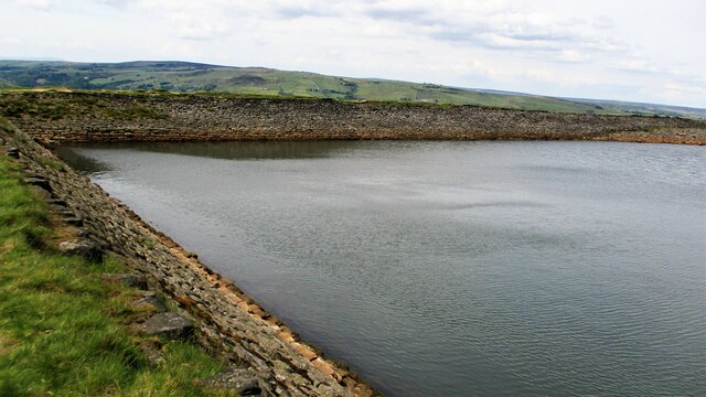
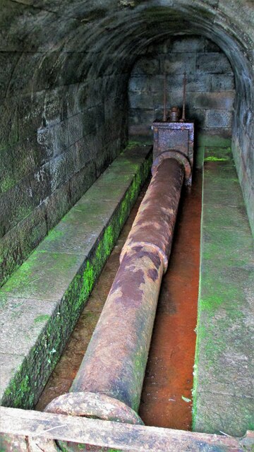
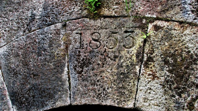
Images are sourced within 2km of 53.714167/-2.0872357 or Grid Reference SD9424. Thanks to Geograph Open Source API. All images are credited.


Millwood is located at Grid Ref: SD9424 (Lat: 53.714167, Lng: -2.0872357)
Division: West Riding
Unitary Authority: Calderdale
Police Authority: West Yorkshire
What 3 Words
///sandbags.paces.bookings. Near Todmorden, West Yorkshire
Nearby Locations
Related Wikis

Todmorden Markets
Todmorden Markets consist of an indoor market held in the Public Market Hall and an outdoor open air market held to the front of the Public Market Hall...

Todmorden
Todmorden ( TOD-mər-dən; locally ) is a market town and civil parish in the Upper Calder Valley in Calderdale, West Yorkshire, England. It is 17 miles...

Todmorden bus station
Todmorden bus station serves the town of Todmorden, West Yorkshire, England. The bus station is owned and managed by West Yorkshire Metro and was opened...

Todmorden Town Hall
Todmorden Town Hall is a municipal building in Halifax Road, Todmorden, West Yorkshire, England. The town hall, which is the meeting place of Todmorden...

Stansfield Hall railway station
Stansfield Hall railway station (English: ) was the second station in Stansfield, Todmorden in West Yorkshire, England and was situated on the Copy Pit...

Todmorden railway station
Todmorden railway station serves the town of Todmorden in West Yorkshire, England, originally on the Yorkshire and Lancashire border. It was built by the...

Todmorden Unitarian Church
Todmorden Unitarian Church is a Unitarian church located in Honey Hole Road, Todmorden, West Yorkshire, England (grid reference SD935239). Built in honour...
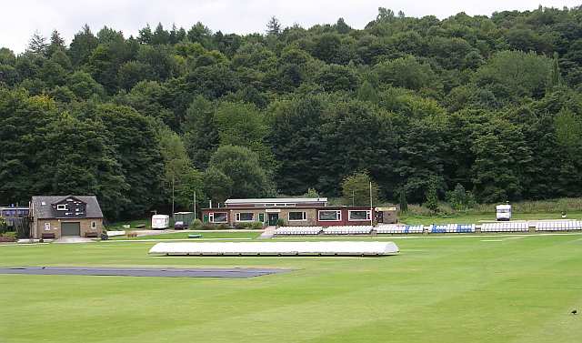
Todmorden Cricket Club
Todmorden Cricket Club is a cricket club in the Lancashire League, which plays its home games at Centre Vale in Todmorden, West Yorkshire. Until the administrative...
Nearby Amenities
Located within 500m of 53.714167,-2.0872357Have you been to Millwood?
Leave your review of Millwood below (or comments, questions and feedback).