Castle Hill
Hill, Mountain in Yorkshire
England
Castle Hill

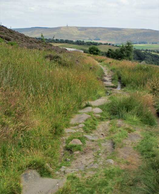
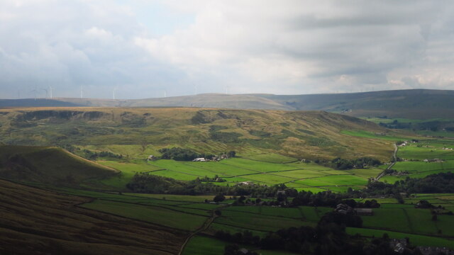
Castle Hill, located in Huddersfield, West Yorkshire, is an iconic landmark that dominates the skyline of the town and is a significant part of the region's history. Standing at a height of 298 meters (978 feet), Castle Hill is a prominent hill that offers breathtaking views of the surrounding countryside.
Believed to have been occupied since the late Bronze Age, Castle Hill has witnessed a long and varied history. The most notable feature of the hill is the Grade II listed Victoria Tower, built in 1899 to commemorate Queen Victoria's diamond jubilee. This tower stands proudly at the summit and can be seen from miles around.
The hill itself is composed of millstone grit, which gives it a rugged and distinctive appearance. The terrain is a mixture of grassy slopes, rocky outcrops, and ancient woodlands, making it a popular destination for walkers and hikers. In fact, there are numerous footpaths and trails that crisscross the hill, providing visitors with the opportunity to explore its natural beauty.
Aside from its natural appeal, Castle Hill also holds great cultural significance. It has been the site of various ancient settlements and has witnessed the construction of several fortifications throughout history. Today, it serves as a reminder of Yorkshire's rich heritage and is a must-visit destination for history enthusiasts.
Castle Hill is not only a place of historical importance but also a recreational hotspot. Its vast open spaces make it ideal for picnics, kite flying, and other outdoor activities. Additionally, the hill hosts various events throughout the year, including music festivals, fairs, and fireworks displays, attracting locals and tourists alike.
In summary, Castle Hill is a captivating landmark in Yorkshire that offers a blend of natural beauty, historical significance, and recreational opportunities. Its commanding presence and stunning vistas make it a must-see destination for anyone visiting the region.
If you have any feedback on the listing, please let us know in the comments section below.
Castle Hill Images
Images are sourced within 2km of 53.718264/-2.0773947 or Grid Reference SD9424. Thanks to Geograph Open Source API. All images are credited.


Castle Hill is located at Grid Ref: SD9424 (Lat: 53.718264, Lng: -2.0773947)
Division: West Riding
Unitary Authority: Calderdale
Police Authority: West Yorkshire
What 3 Words
///regime.output.croutons. Near Todmorden, West Yorkshire
Nearby Locations
Related Wikis

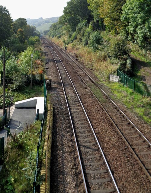
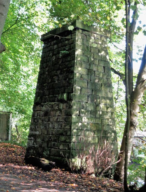
Stansfield Hall railway station
Stansfield Hall railway station (English: ) was the second station in Stansfield, Todmorden in West Yorkshire, England and was situated on the Copy Pit...

Todmorden Markets
Todmorden Markets consist of an indoor market held in the Public Market Hall and an outdoor open air market held to the front of the Public Market Hall...

Todmorden bus station
Todmorden bus station serves the town of Todmorden, West Yorkshire, England. The bus station is owned and managed by West Yorkshire Metro and was opened...

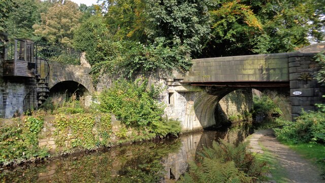
Todmorden
Todmorden ( TOD-mər-dən; locally ) is a market town and civil parish in the Upper Calder Valley in Calderdale, West Yorkshire, England. It is 17 miles...

Todmorden Town Hall
Todmorden Town Hall is a municipal building in Halifax Road, Todmorden, West Yorkshire, England. The town hall, which is the meeting place of Todmorden...

Mankinholes
Mankinholes is a hamlet in the Metropolitan Borough of Calderdale, in West Yorkshire, England. It is situated in the Pennines and the nearest town is Todmorden...

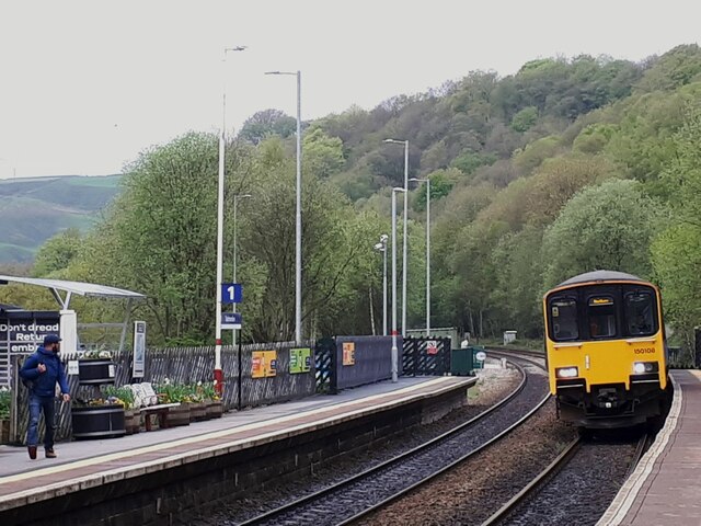
Todmorden railway station
Todmorden railway station serves the town of Todmorden in West Yorkshire, England, originally on the Yorkshire and Lancashire border. It was built by the...
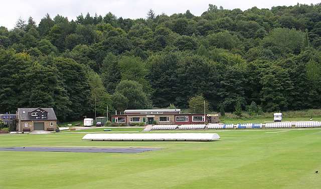
Todmorden Cricket Club
Todmorden Cricket Club is a cricket club in the Lancashire League, which plays its home games at Centre Vale in Todmorden, West Yorkshire. Until the administrative...
Nearby Amenities
Located within 500m of 53.718264,-2.0773947Have you been to Castle Hill?
Leave your review of Castle Hill below (or comments, questions and feedback).