Lyle Hill
Settlement in Renfrewshire
Scotland
Lyle Hill
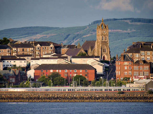
Lyle Hill is an elevated area located in the town of Greenock, Renfrewshire, on the west coast of Scotland. Rising to a height of about 130 meters (430 feet), it offers stunning panoramic views of the surrounding landscape and the Firth of Clyde. Lyle Hill is a prominent landmark in the area, attracting locals and tourists alike.
The hill is adorned with a memorial tower known as the McLean Museum and Art Gallery, erected in 1863 as a tribute to James McLean, a local philanthropist. The tower stands at the summit of Lyle Hill and offers visitors an opportunity to climb to the top for an even more breathtaking view of the area.
Lyle Hill is also home to several walking trails and nature paths, making it a popular destination for outdoor enthusiasts. The surrounding area is characterized by lush greenery, providing a serene and peaceful atmosphere for those seeking a break from the bustling town below.
In addition to its natural beauty, Lyle Hill is steeped in history. It is believed to have been a strategic vantage point during World War II, providing a lookout for potential enemy aircraft and submarines. Today, remnants of military structures such as gun emplacements and observation posts can still be found on the hill, serving as a reminder of its significance during that time.
Overall, Lyle Hill is a cherished landmark in Renfrewshire, offering visitors a chance to immerse themselves in the region's natural beauty, history, and breathtaking vistas.
If you have any feedback on the listing, please let us know in the comments section below.
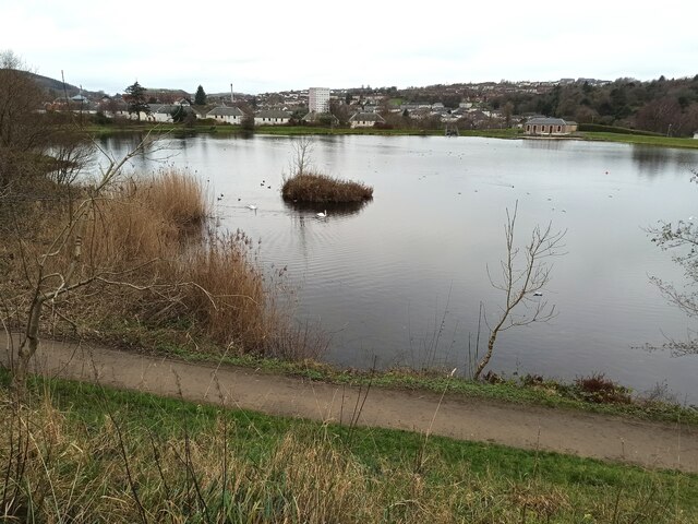
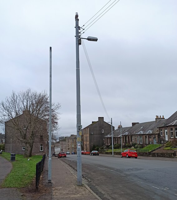
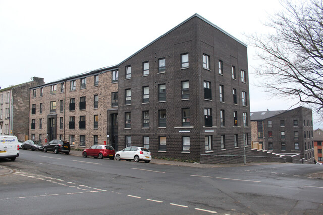
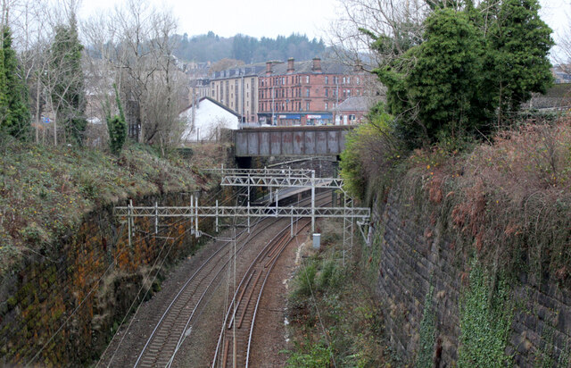
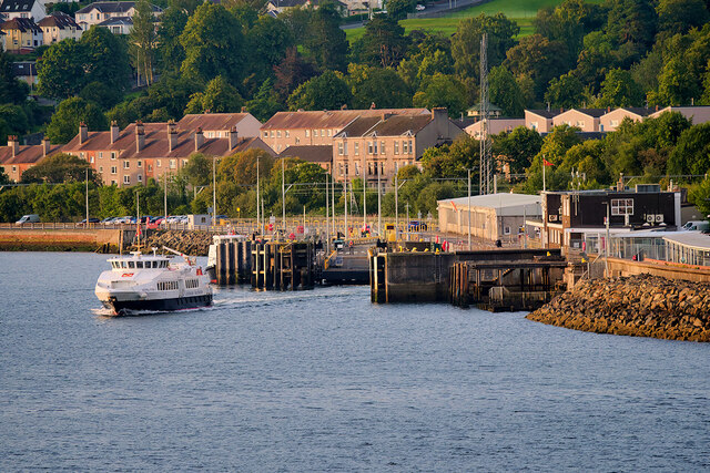
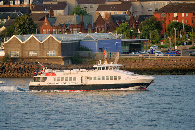
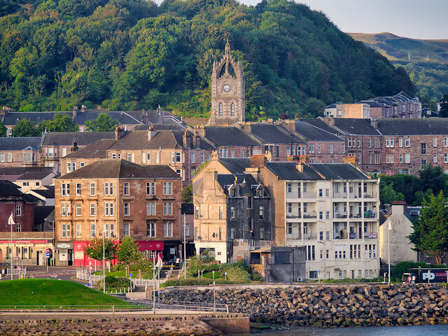
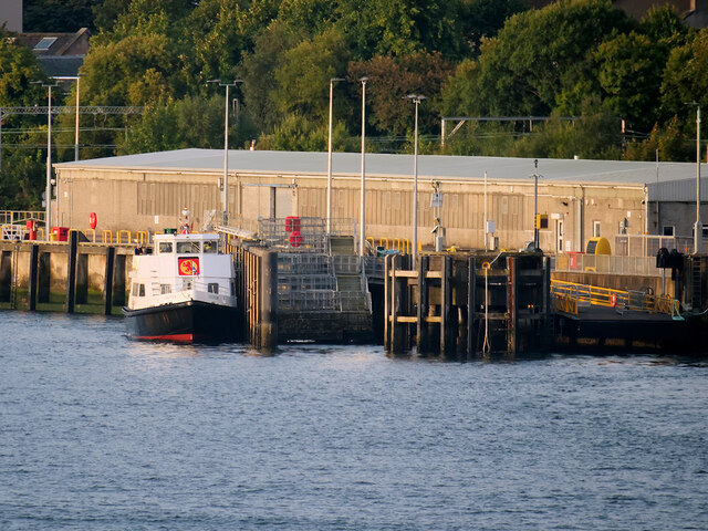
Lyle Hill Images
Images are sourced within 2km of 55.954793/-4.7950099 or Grid Reference NS2577. Thanks to Geograph Open Source API. All images are credited.


Lyle Hill is located at Grid Ref: NS2577 (Lat: 55.954793, Lng: -4.7950099)
Unitary Authority: Inverclyde
Police Authority: Renfrewshire and Inverclyde
What 3 Words
///arrived.originals.basis. Near Gourock, Inverclyde
Nearby Locations
Related Wikis
Lyle Hill
Lyle Hill stands at the West End of Greenock in Inverclyde, Scotland. It has scenic viewpoints accessible from Lyle Road, which was constructed in 1879...

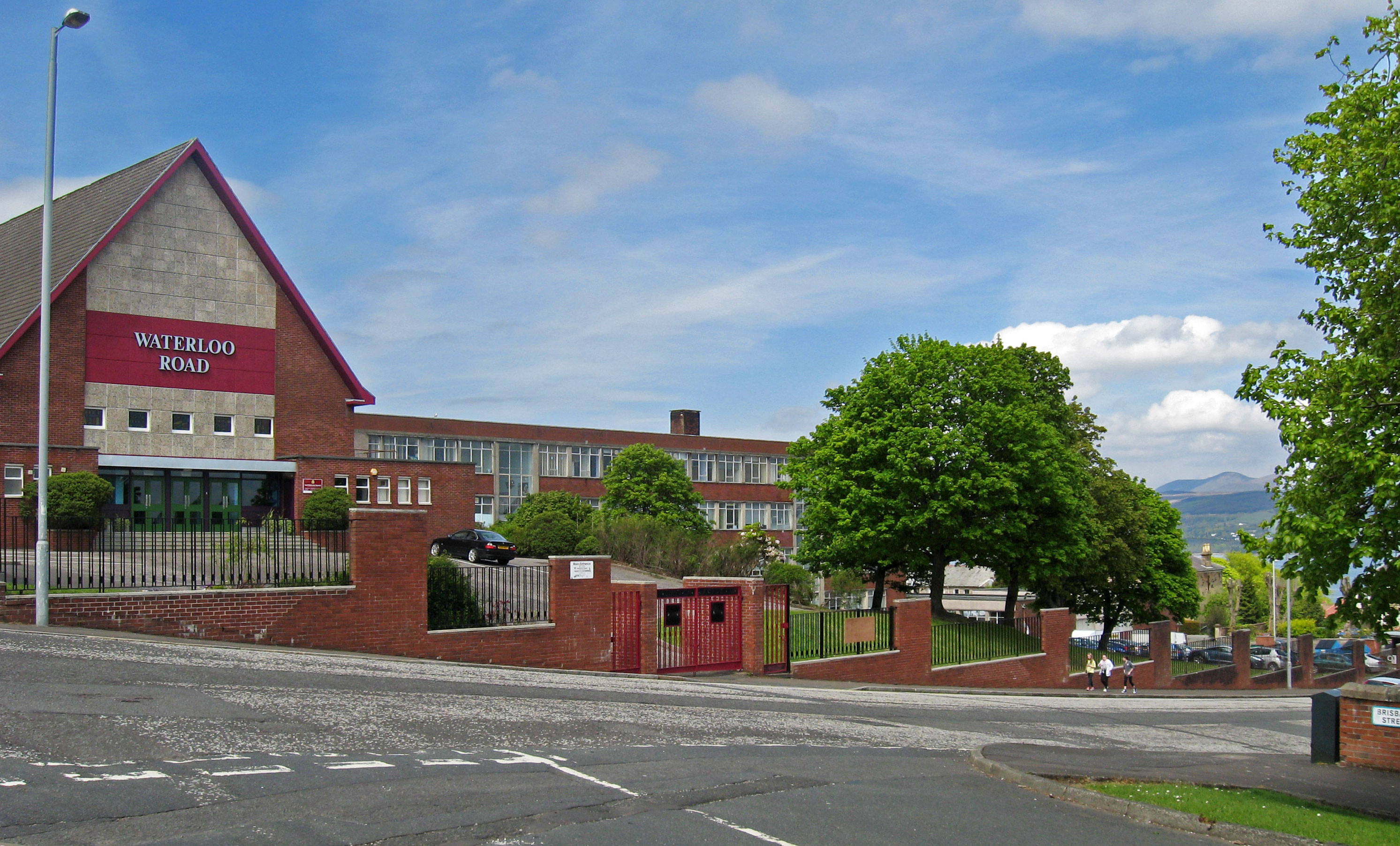
St Columba's High School, Gourock
St Columba's High School is a co-educational six-year Roman Catholic, comprehensive secondary school, located next to Tower Hill Gourock, Inverclyde, Scotland...
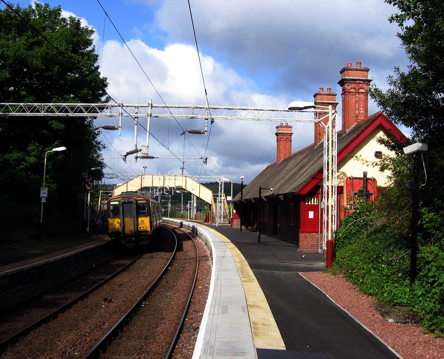
Fort Matilda railway station
Fort Matilda railway station lies at the far western edge of the town of Greenock, Scotland. It is a non-staffed station, and is the last stop before the...

Fort Matilda
Fort Matilda is a suburb at the far western edge of Greenock, Scotland. Its name comes from a coastal battery built on Whiteforeland Point 1814–1819 to...

Clydeview Academy
Clydeview Academy is a non-denominational secondary school situated in Gourock, Inverclyde. It was founded in 2011 and opened to pupils on 17 August 2011...
Finnart
The lands of Finnart to the west of Greenock belonged to the Earl of Douglas in medieval times. Around 1455 they were forfeited to the crown. Finnart was...
Greenock Academy
The Greenock Academy was a mixed non-denominational school in the west end of Greenock, Scotland, founded in 1855, originally independent, later a grammar...
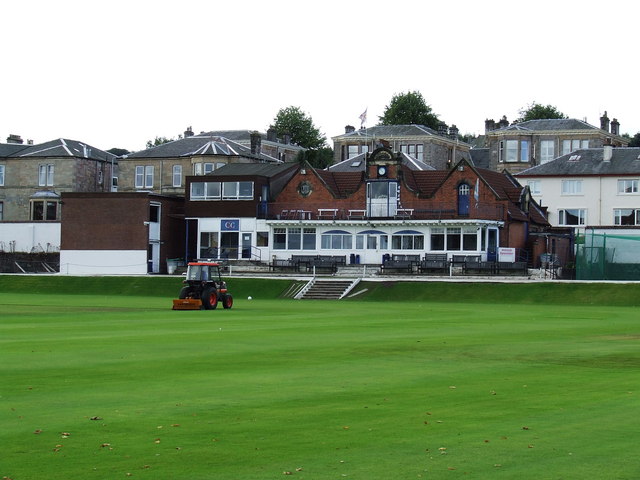
Glenpark Cricket Ground
Glenpark Cricket Ground is a cricket ground in Greenock, Scotland. The first recorded match held on the ground came in 1869 when Greenock played the Players...
Related Videos

Scotland Esplanade Walking Tour | We walk the Esplanade, Battery Park, and streets of Greenock.
Scotland Esplanade Walking Tour | Join us as we walk the Esplanade in Scotland and visit Battery Park, plus walking streets of ...

SWEET TREAT for SCOTTISH HIKING | SAFFRON RICE PUDDING
One of the benefits of living in Scotland is that I get to do a lot of hill-walking. I am sharing what a usual day of hiking for me looks ...

Lunderston Bay Play Park - Gourock Inverclyde
Lunderston Bay Playground, Gourock PA19 1BB. A new play park for families right next to the beach with toilets and lunch options ...
Nearby Amenities
Located within 500m of 55.954793,-4.7950099Have you been to Lyle Hill?
Leave your review of Lyle Hill below (or comments, questions and feedback).