Lye's Green
Settlement in Wiltshire
England
Lye's Green
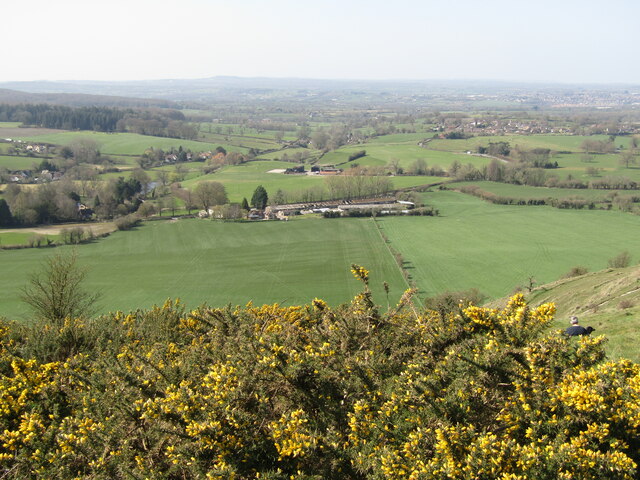
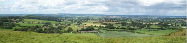
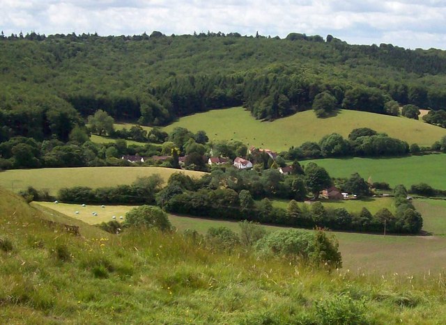
Lye's Green is a small and picturesque hamlet located in the county of Wiltshire, England. Situated about 6 miles southwest of the town of Marlborough, it lies within the North Wessex Downs Area of Outstanding Natural Beauty. With its idyllic setting and stunning countryside views, Lye's Green offers a tranquil escape from the hustle and bustle of city life.
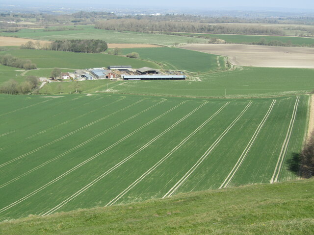
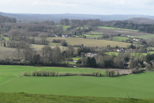
The hamlet is characterized by its charming collection of traditional stone cottages, many of which date back several centuries. These historic buildings add to the area's distinctive character and provide a glimpse into its rich heritage. Surrounding the village are rolling hills and verdant meadows, creating a beautiful landscape that is perfect for outdoor enthusiasts and nature lovers.
Despite its small size, Lye's Green benefits from its proximity to nearby amenities. The neighboring town of Marlborough offers a range of services, including shops, restaurants, and schools, ensuring that residents have access to essential facilities. Additionally, the area is well-connected by road, with the A346 and A4 providing easy access to major towns and cities in the region.
Lye's Green is also within reach of several notable attractions. The ancient Avebury Stone Circle, a UNESCO World Heritage Site, is just a short drive away. This prehistoric monument is one of the largest and best-preserved stone circles in Europe and attracts visitors from around the world.
Overall, Lye's Green in Wiltshire is a delightful and charming hamlet, offering a peaceful and scenic environment for residents and visitors alike.
If you have any feedback on the listing, please let us know in the comments section below.
Lye's Green Images
Images are sourced within 2km of 51.21484/-2.2592309 or Grid Reference ST8146. Thanks to Geograph Open Source API. All images are credited.


Lye's Green is located at Grid Ref: ST8146 (Lat: 51.21484, Lng: -2.2592309)
Unitary Authority: Wiltshire
Police Authority: Wiltshire
What 3 Words
///failed.riverbed.length. Near Corsley, Wiltshire
Nearby Locations
Related Wikis

Corsley
Corsley is a hamlet and civil parish 3 miles (5 km) west of Warminster in Wiltshire, England. The parish is on the county border with Somerset; the Somerset...
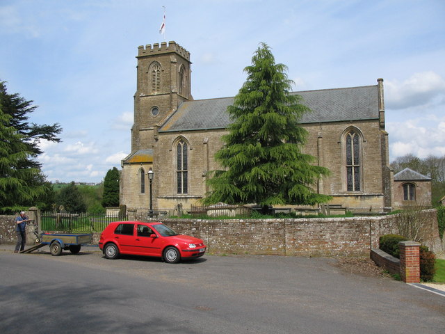
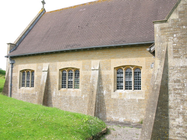
St Margaret's, Corsley
St Margaret's, Corsley, is the Church of England parish church of Corsley in Wiltshire, England. In 1968 the church was designated as Grade II listed.The...

St Mary's Church, Temple, Corsley
The Church of St Mary at Temple, Corsley, Wiltshire, England is a chapel-of-ease dating from the very early 20th century. It was commissioned and paid...

Chapmanslade
Chapmanslade is a village and civil parish in the county of Wiltshire, in the southwest of England. The parish is on the county border with Somerset and...
Nearby Amenities
Located within 500m of 51.21484,-2.2592309Have you been to Lye's Green?
Leave your review of Lye's Green below (or comments, questions and feedback).