Lydgate
Settlement in Derbyshire North East Derbyshire
England
Lydgate
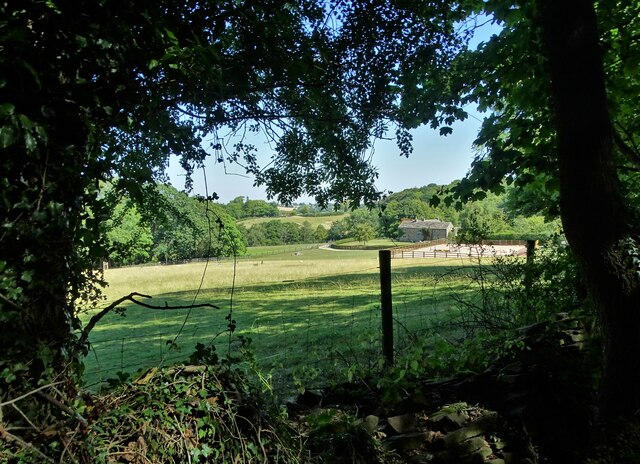
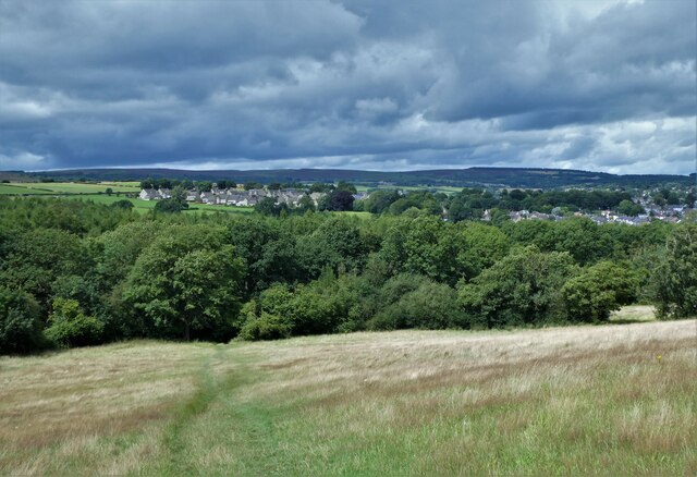
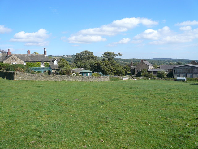
Lydgate is a small village located in Derbyshire, England. Situated in the heart of the Peak District National Park, it is surrounded by stunning natural beauty and offers a peaceful and picturesque setting for residents and visitors alike.
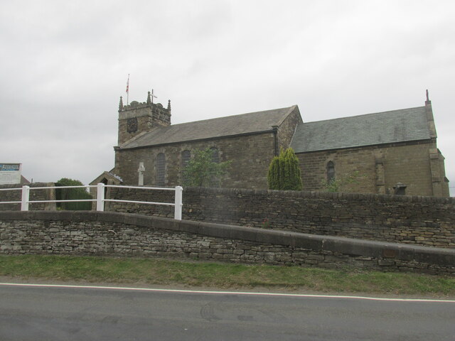
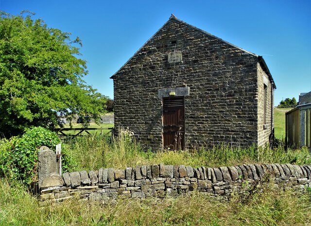
The village itself consists of charming stone cottages and historic buildings, which are a testament to its rich history dating back to medieval times. Lydgate is known for its traditional architecture and well-preserved heritage, attracting those with an interest in historical landmarks and architecture.
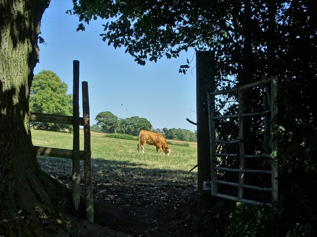
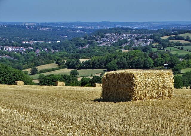
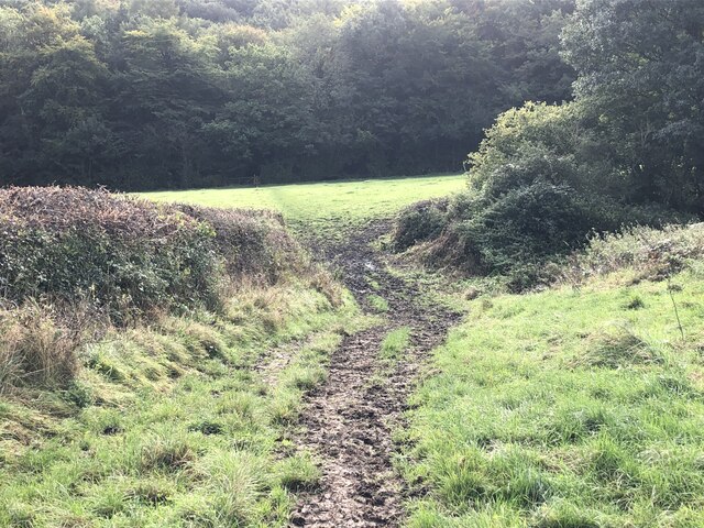
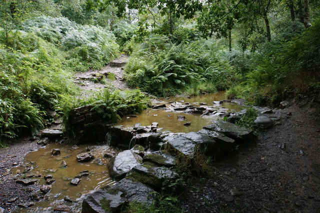
The village is also renowned for its outdoor recreational opportunities. With numerous walking and cycling trails nearby, including the popular Monsal Trail, outdoor enthusiasts can explore the scenic countryside and take in breathtaking views of the surrounding hills and valleys. The nearby River Wye provides additional opportunities for fishing and kayaking.
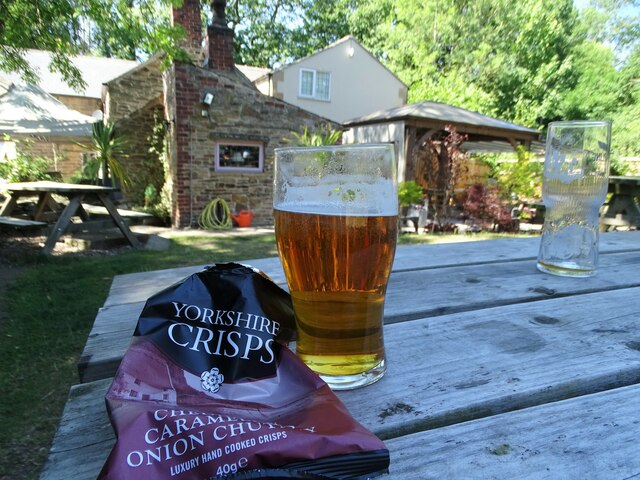
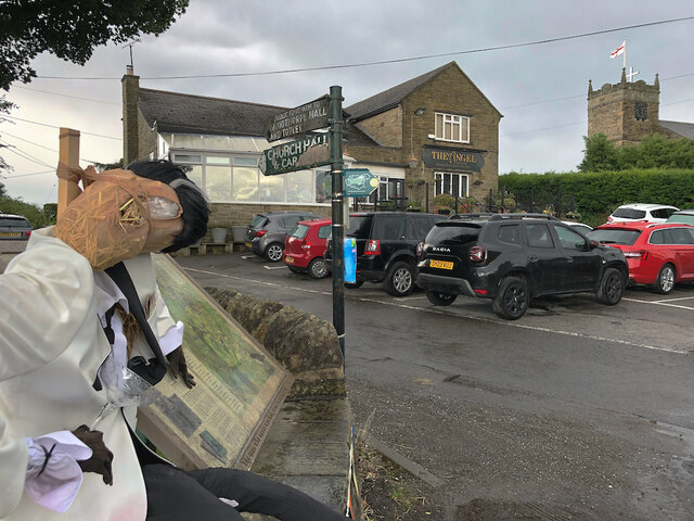
Despite its small size, Lydgate boasts a strong community spirit. The village hosts various events throughout the year, including fairs and festivals, which bring locals and tourists together. The village pub serves as a hub for socializing and is a popular spot for enjoying a pint of locally brewed ale or a hearty meal.
Lydgate's location within the Peak District National Park also makes it a great base for exploring the wider region. The village is within easy reach of popular attractions such as Chatsworth House, Bakewell, and the historic market town of Buxton.
Overall, Lydgate offers a tranquil and idyllic setting, combining natural beauty, a rich history, and a strong sense of community, making it a desirable destination for those seeking a peaceful retreat in the heart of the English countryside.
If you have any feedback on the listing, please let us know in the comments section below.
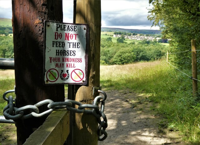
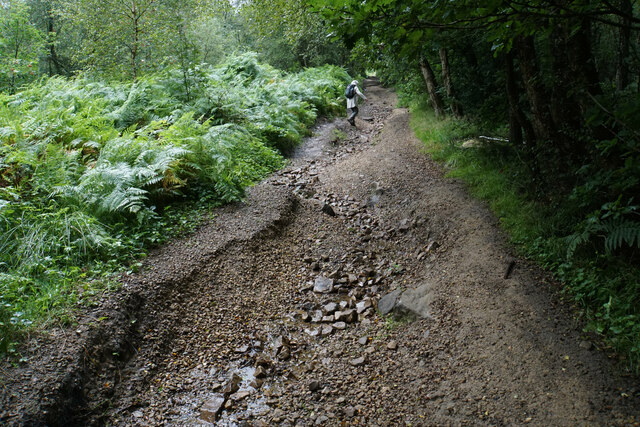
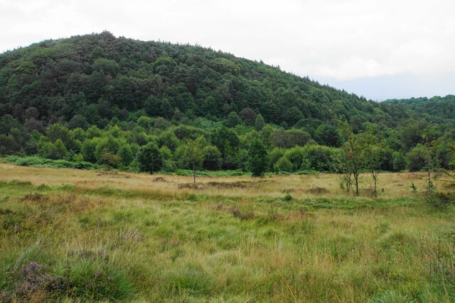
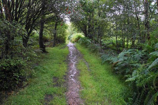
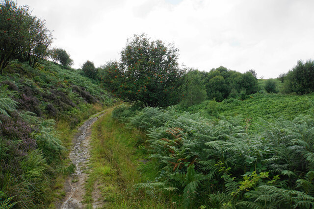
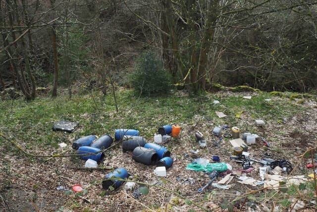
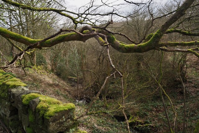
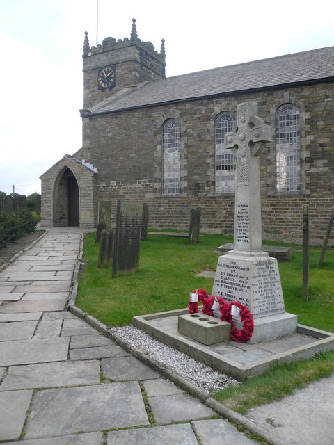
Lydgate Images
Images are sourced within 2km of 53.295572/-1.5386003 or Grid Reference SK3077. Thanks to Geograph Open Source API. All images are credited.
Lydgate is located at Grid Ref: SK3077 (Lat: 53.295572, Lng: -1.5386003)
Administrative County: Derbyshire
District: North East Derbyshire
Police Authority: Derbyshire
What 3 Words
///useful.transmitted.transit. Near Dronfield, Derbyshire
Nearby Locations
Related Wikis
St Swithin's Church, Holmesfield
St Swithin's Church is a Grade II listed parish church in the Church of England in Holmesfield, Derbyshire. == History == The church dates from 1727 with...

Holmesfield
Holmesfield is a village and civil parish in the English county of Derbyshire. The population of the civil parish at the 2011 census was 971. The name...

Owler Bar
Owler Bar is a small area of settlement and locally important road junction in the parish of Holmesfield, Derbyshire, England. It lies at an altitude of...

Totley
Totley is a suburb on the extreme southwest of the City of Sheffield, in South Yorkshire, England. Lying in the historic county boundaries of Derbyshire...
Unthank, Derbyshire
Unthank is a hamlet in the North East Derbyshire district of Derbyshire, England. It is sited on a narrow lane on the southern slopes of the Cordwell Valley...
Cartledge
Cartledge is a hamlet in Derbyshire, England. It is 10 kilometres (6 mi) southwest of Sheffield, and just south of the village of Holmesfield. Its name...

Old Hay Brook
The Old Hay Brook is a small river in Sheffield, South Yorkshire, England. It is formed from the Redcar Brook, Blacka Dike and another stream, which rise...

Dronfield Woodhouse
Dronfield Woodhouse is a district of Dronfield, in North East Derbyshire, England. The area has been inhabited since at least the 11th century (Cowley...
Related Videos


198: Millthorpe, Moorhall and Shillito Wood (Peak District and North East Derbyshire 2023)
PEAK DISTRICT AND NORTH EAST DERBYSHIRE WALK FEATURING MILLTHORPE, MOORHALL AND SHILLITO WOOD ...

A June Afternoon walk from #Lowedges to #Holmesfield 2019
A #Summer walk from Lowedges #Sheffield along the #Derbyshire #Yorkshire #Border to the Angel Inn Holmesfield Derbyshire.

A view of Totley Sheffield Yorkshire from Mickley Holmesfield Derbyshire
A view of Totley Sheffield Yorkshire from Mickley Holmesfield Derbyshire a view across the Derbyshire Yorkshire border.
Nearby Amenities
Located within 500m of 53.295572,-1.5386003Have you been to Lydgate?
Leave your review of Lydgate below (or comments, questions and feedback).