Lidgate

Settlement in Derbyshire North East Derbyshire

England

Lidgate

St Swithin's Church in Holmesfield Across the road from the George and Dragon pub.
St Swithin's Church in Holmesfield Credit: steven ruffles

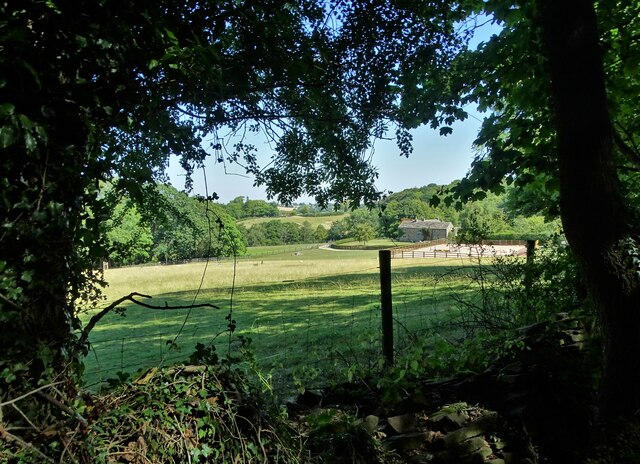
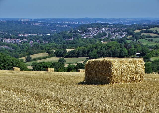
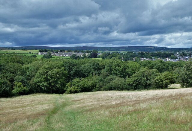
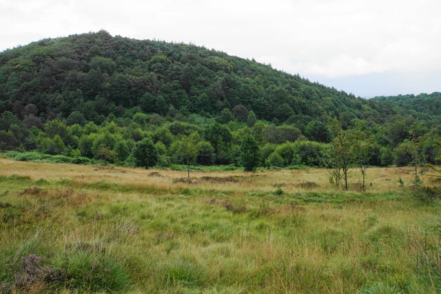
Lidgate is a small village located in Derbyshire, England. Situated in the Peak District National Park, it is surrounded by picturesque countryside, offering breathtaking views and a tranquil atmosphere. The village is nestled on the edge of the White Peak, renowned for its rolling hills and limestone valleys.

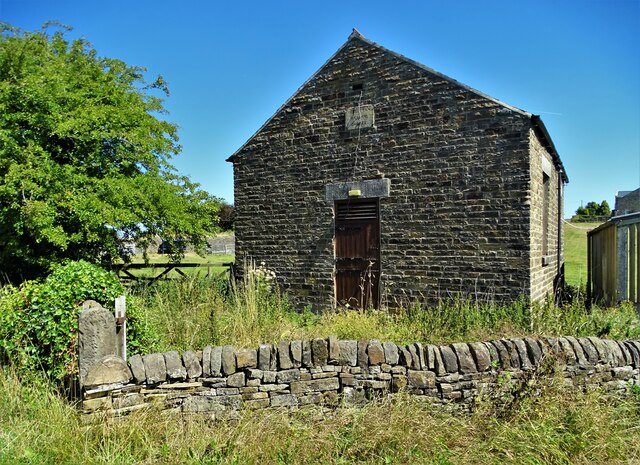
Lidgate has a population of around 300 people, making it a close-knit and friendly community. The village is characterized by its charming stone cottages and traditional buildings, which add to its rustic charm. The local architecture is a delightful blend of different eras, with some structures dating back to the 17th century.

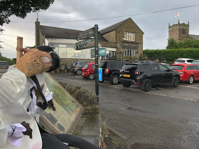
Despite its small size, Lidgate boasts a few amenities for its residents and visitors. The village has a local pub, The White Horse Inn, which serves as a social hub and offers a warm welcome to all. There is also a village hall, hosting various community events and activities throughout the year.

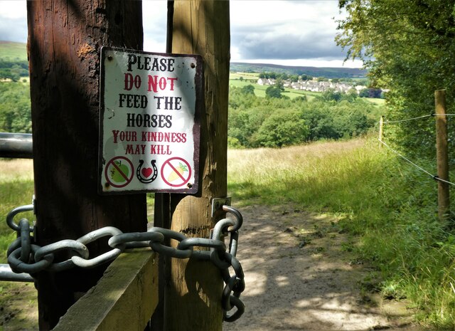
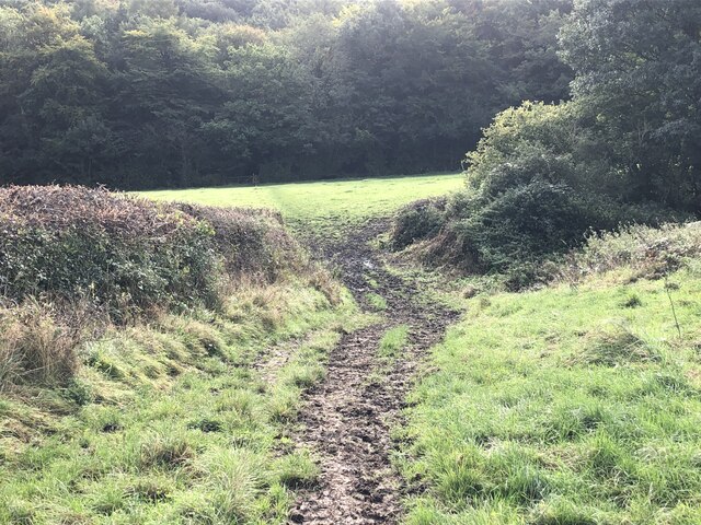
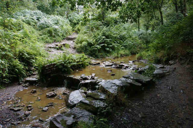
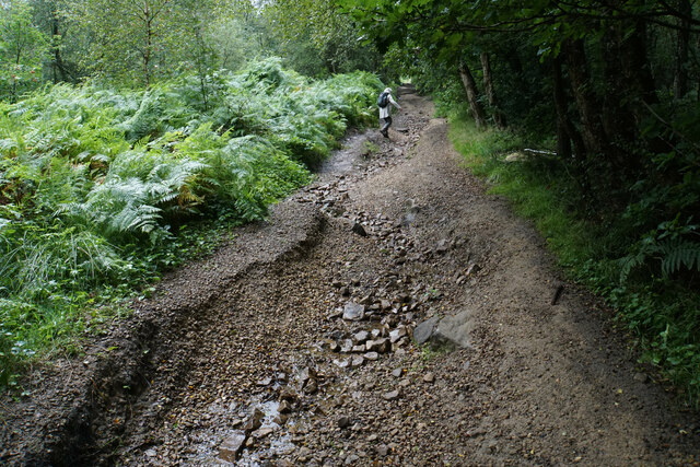
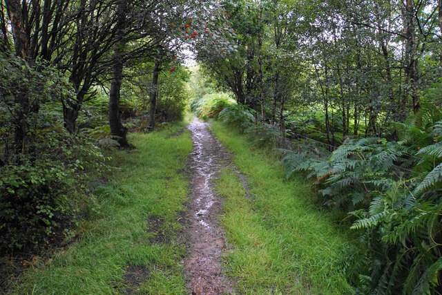
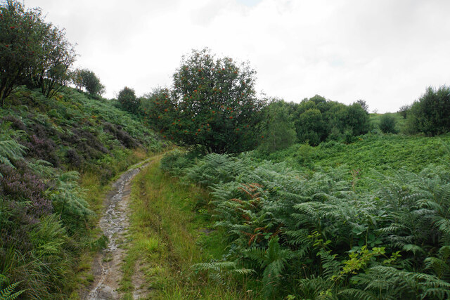
Nature lovers and outdoor enthusiasts will find Lidgate to be a paradise. The surrounding countryside offers numerous walking and cycling trails, allowing visitors to explore the stunning landscapes. Additionally, the nearby River Derwent provides opportunities for fishing and boating.

Lidgate's location within the Peak District National Park also means that it is within easy reach of other popular attractions. The historic market town of Bakewell, famous for its delicious Bakewell pudding, is just a short drive away, while the world-renowned Chatsworth House is also within reach.

In conclusion, Lidgate is a small but idyllic village in Derbyshire, offering a peaceful retreat for those seeking a break from the hustle and bustle of city life. Its stunning surroundings, friendly community, and access to the Peak District make it a perfect destination for nature lovers and those looking to explore the beauty of the English countryside.

If you have any feedback on the listing, please let us know in the comments section below.
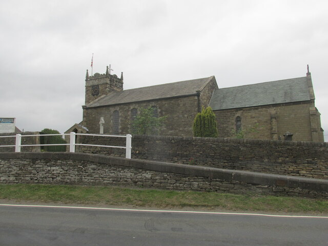
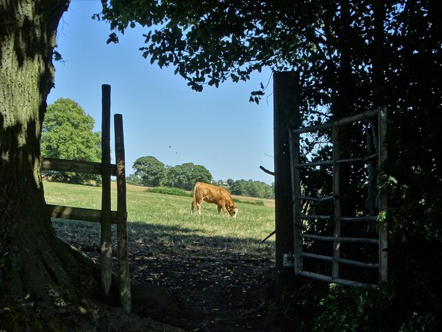
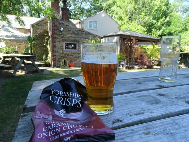
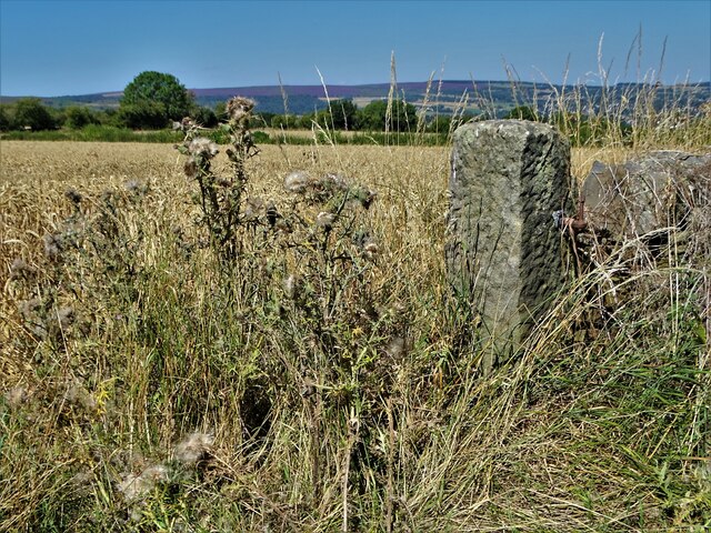
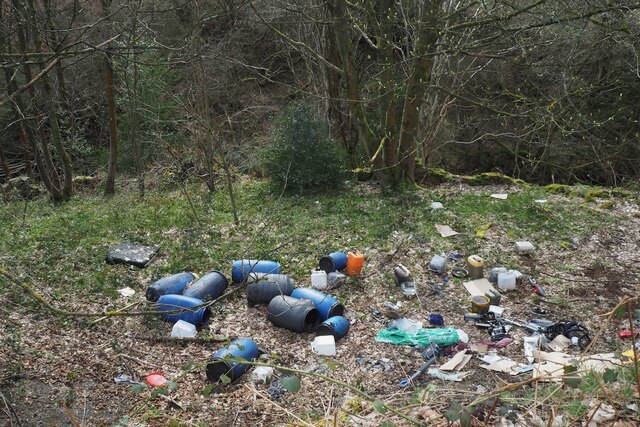
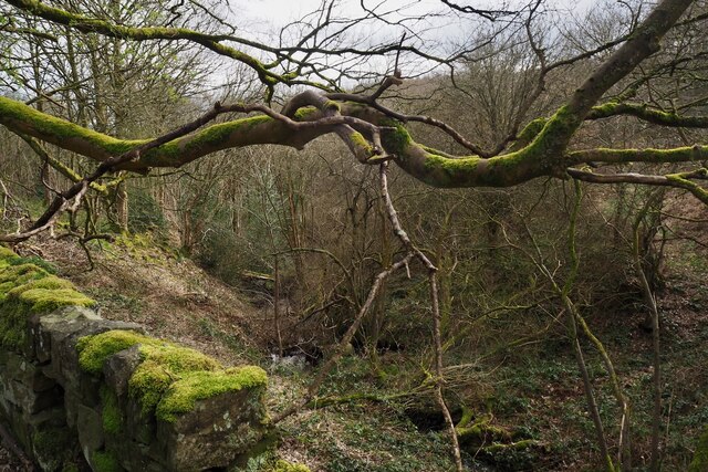
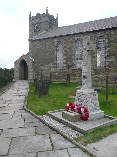
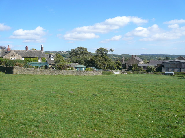
Lidgate Images

Images are sourced within 2km of 53.2949/-1.53787 or Grid Reference SK3077. Thanks to Geograph Open Source API. All images are credited.

St Swithin's Church in Holmesfield Across the road from the George and Dragon pub.
St Swithin's Church in Holmesfield
Across the road from the George and Dragon pub.
Young cow grazing at Horsleygate
Shandy and crisps at "The Royal Oak", Millthorpe On another hot summer's day in August 2022
Shandy and crisps at "The Royal Oak", Millthorpe
On another hot summer's day in August 2022
Gatepost at Holmesfield Common
A view of Owler Lee Farm Seen from Fanshawe Gate Lane
A view of Owler Lee Farm
Seen from Fanshawe Gate Lane
After the Harvest Harvested field at Lydgate, Holmesfield with a view of Sheffield's southern  suburbs.
After the Harvest
Harvested field at Lydgate, Holmesfield with a view of Sheffield's southern suburbs.
Disused chapel at Holmesfield Common This Wesleyan Reform Chapel was erected in 1848. It could accommodate a hundred people.
Disused chapel at Holmesfield Common
This Wesleyan Reform Chapel was erected in 1848. It could accommodate a hundred people.
Angel and scarecrow, Holmesfield Popular gastro-pub next to St Swithin's Church. The rather dishevelled figure on the left would appear to be a remnant of the village's scarecrow hunt/festival/competition, maybe deliberately so, given the champagne glass in its hand, but in no worse a state than many of the others nearby.
Angel and scarecrow, Holmesfield
Popular gastro-pub next to St Swithin's Church. The rather dishevelled figure on the left would appear to be a remnant of the village's scarecrow hunt/festival/competition, maybe deliberately so, given the champagne glass in its hand, but in no worse a state than many of the others nearby.
Looking back to Gillifield Wood and Totley From the edge of Woodthorpe Hall grounds
Looking back to Gillifield Wood and Totley
From the edge of Woodthorpe Hall grounds
Gillifield Wood and Totley In the southern suburbs of Sheffield
Gillifield Wood and Totley
In the southern suburbs of Sheffield
The path from Unthank Lane, looking into Stripes Wood
Bridleway crossing a brook The brook flows down to Millthorpe Brook. It is not named on the OS map, but I have seen it referred to as Blake Brook or Hewetts Brook.
Bridleway crossing a brook
The brook flows down to Millthorpe Brook. It is not named on the OS map, but I have seen it referred to as Blake Brook or Hewetts Brook.
Car Road A bridleway linking the A621 with Fox Lane. The route is showing significant erosion damage from water flowing down it.
Car Road
A bridleway linking the A621 with Fox Lane. The route is showing significant erosion damage from water flowing down it.
Smeekley Wood Seen across the valley of Millthorpe Brook.
Smeekley Wood
Seen across the valley of Millthorpe Brook.
Path up to Greaves's Piece Part of a steady climb from Millthorpe Brook up to the A621 near the top of the moor. This is a brief section which is not being encroached upon by bracken.
Path up to Greaves's Piece
Part of a steady climb from Millthorpe Brook up to the A621 near the top of the moor. This is a brief section which is not being encroached upon by bracken.
Path on Greaves's Piece Approaching the top of the moor.
Path on Greaves's Piece
Approaching the top of the moor.
Fly-tip beside Horsleygate Road What can you say?
Fly-tip beside Horsleygate Road
What can you say?
Milthorpe Brook valley
Show me another place!

Lidgate is located at Grid Ref: SK3077 (Lat: 53.2949, Lng: -1.53787)

Administrative County: Derbyshire

District: North East Derbyshire

Police Authority: Derbyshire

What 3 Words

///task.supply.preoccupied. Near Dronfield, Derbyshire

Related Wikis

St Swithin's Church, Holmesfield

St Swithin's Church is a Grade II listed parish church in the Church of England in Holmesfield, Derbyshire. == History == The church dates from 1727 with...

Holmesfield

Holmesfield is a village and civil parish in the English county of Derbyshire. The population of the civil parish at the 2011 census was 971. The name...

Unthank, Derbyshire

Unthank is a hamlet in the North East Derbyshire district of Derbyshire, England. It is sited on a narrow lane on the southern slopes of the Cordwell Valley...

Cartledge

Cartledge is a hamlet in Derbyshire, England. It is 10 kilometres (6 mi) southwest of Sheffield, and just south of the village of Holmesfield. Its name...

Owler Bar

Owler Bar is a small area of settlement and locally important road junction in the parish of Holmesfield, Derbyshire, England. It lies at an altitude of...

Totley

Totley is a suburb on the extreme southwest of the City of Sheffield, in South Yorkshire, England. Lying in the historic county boundaries of Derbyshire...

Dronfield Woodhouse

Dronfield Woodhouse is a district of Dronfield, in North East Derbyshire, England. The area has been inhabited since at least the 11th century (Cowley...

Old Hay Brook

The Old Hay Brook is a small river in Sheffield, South Yorkshire, England. It is formed from the Redcar Brook, Blacka Dike and another stream, which rise...

Nearby Amenities

Located within 500m of 53.2949,-1.53787
Barrier: stile
Lat/Long: 53.2943846/-1.5398425
Information: guidepost
Tourism: information
Lat/Long: 53.2938045/-1.537997
Barrier: stile
Lat/Long: 53.2916223/-1.5372747
Information: guidepost
Operator: Peak & Northern Footpaths Society
Ref: 170
Source: survey;gps
Tourism: information
Lat/Long: 53.2953946/-1.5403002
Bench
Backrest: yes
Ele: 281.7899170
Lat/Long: 53.2978669/-1.5401435
Barrier: stile
Steps: 2
Stile: wall
Lat/Long: 53.2933146/-1.5425574
Barrier: stile
Steps: 2
Stile: wall
Lat/Long: 53.2953566/-1.5402559
Post Box
Post Box Type: lamp
Ref: S18 668
Lat/Long: 53.2953497/-1.535761
Barrier: stile
Lat/Long: 53.2956422/-1.5315031
Barrier: stile
Lat/Long: 53.2971442/-1.5336559
Barrier: stile
Lat/Long: 53.2965342/-1.5324337
Barrier: stile
Lat/Long: 53.2954294/-1.5365891
Barrier: stile
Lat/Long: 53.2938215/-1.537951
Barrier: stile
Lat/Long: 53.2953898/-1.5368833
Barrier: stile
Lat/Long: 53.2970852/-1.5335522
Barrier: stile
Lat/Long: 53.2968612/-1.533112
Barrier: stile
Lat/Long: 53.29664/-1.5326583
The data included in this document is from www.openstreetmap.org. The data is made available under ODbL.

Have you been to Lidgate?

Leave your review of Lidgate below (or comments, questions and feedback).