Lidgate

Settlement in Suffolk West Suffolk

England

Lidgate

Field by the B1063, Boyden End The aerial is over a mile away in Genesis Green
Field by the B1063, Boyden End Credit: David Howard

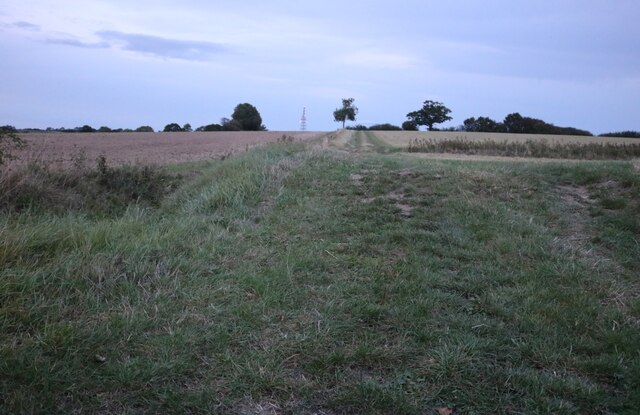
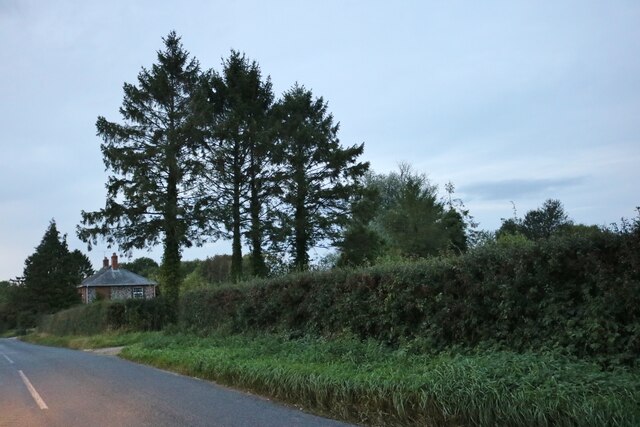
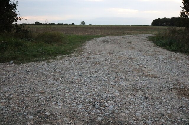
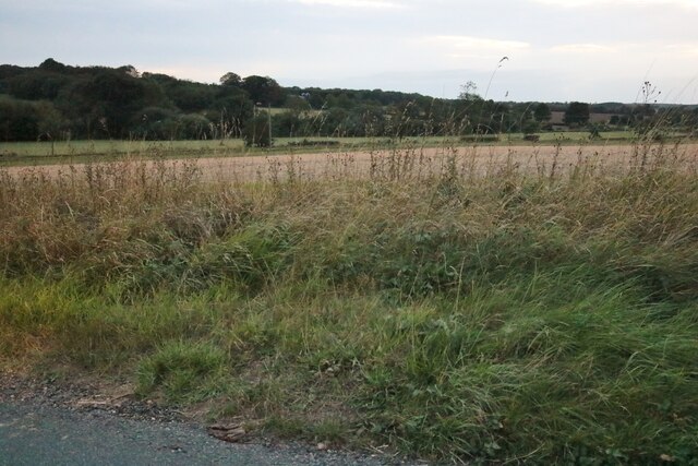
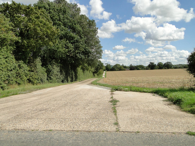
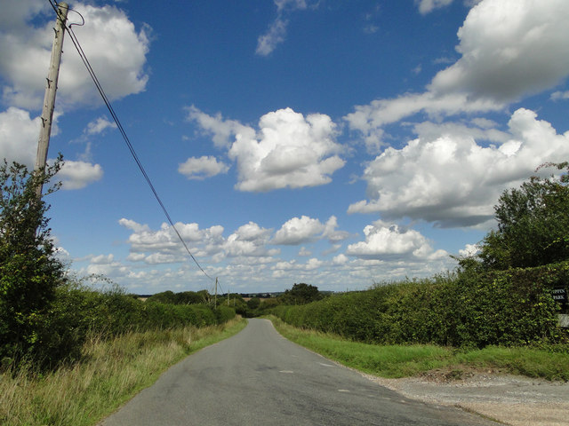
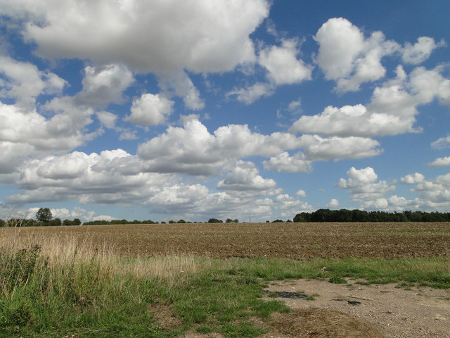
Lidgate is a charming village located in the county of Suffolk, England. Situated in the heart of the picturesque countryside, Lidgate is known for its idyllic surroundings and peaceful atmosphere. The village is nestled on the western edge of the Suffolk Heath Area of Outstanding Natural Beauty, providing residents and visitors with breathtaking views of rolling hills, lush green fields, and meandering streams.

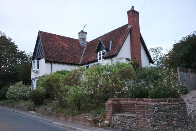
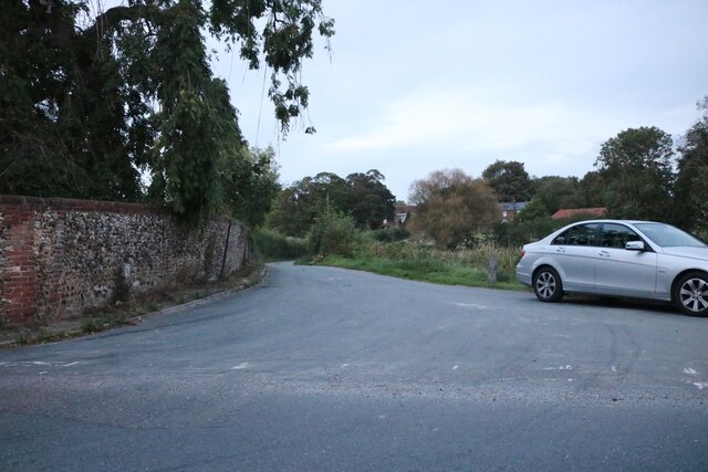
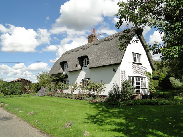
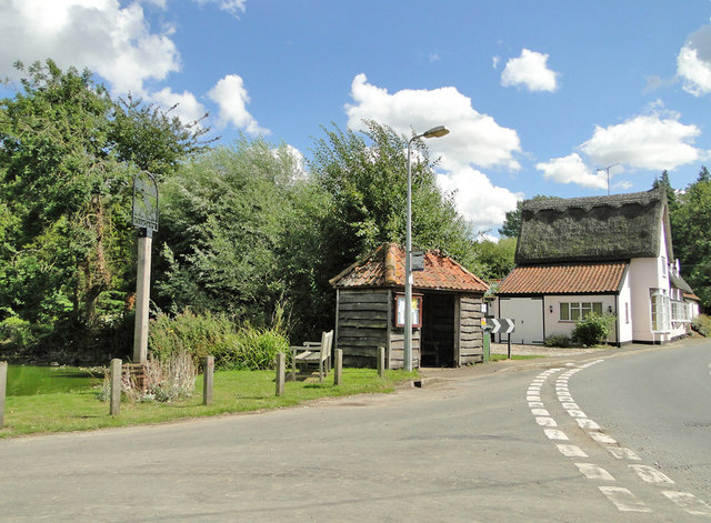
With a population of just over 200 people, Lidgate exudes a tight-knit community spirit. The village is characterized by its traditional thatched-roof cottages, quaint gardens, and winding country lanes. Its rich history can be seen through the medieval St. Mary's Church, which dates back to the 13th century and is a prominent landmark in the area.

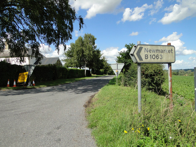
Lidgate is also renowned for its connection to horse racing. The village is home to a horse racing training yard, attracting equestrian enthusiasts from far and wide. The famous Newmarket Racecourse, known as the headquarters of British horse racing, is just a short distance away.

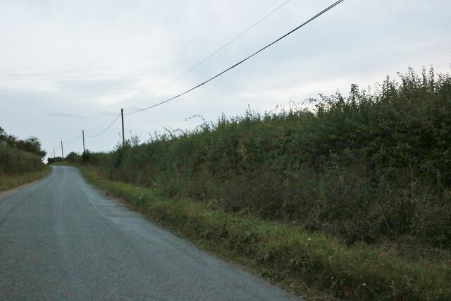
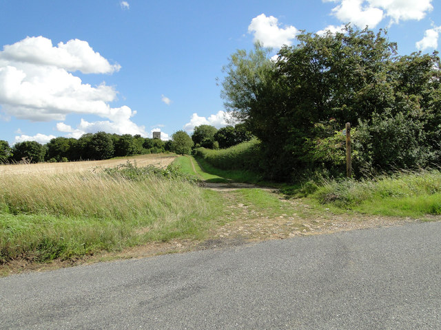
For those seeking outdoor activities, Lidgate offers several walking and cycling trails that showcase the natural beauty of the surrounding area. The village is also within easy reach of larger towns and cities, such as Bury St Edmunds and Cambridge, providing access to a wider range of amenities and cultural attractions.

Overall, Lidgate offers a tranquil and picturesque escape from the bustle of city life, making it a sought-after destination for those seeking a peaceful countryside retreat.

If you have any feedback on the listing, please let us know in the comments section below.
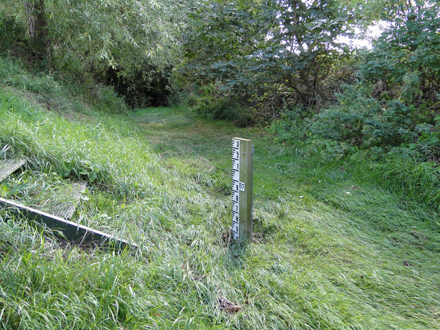
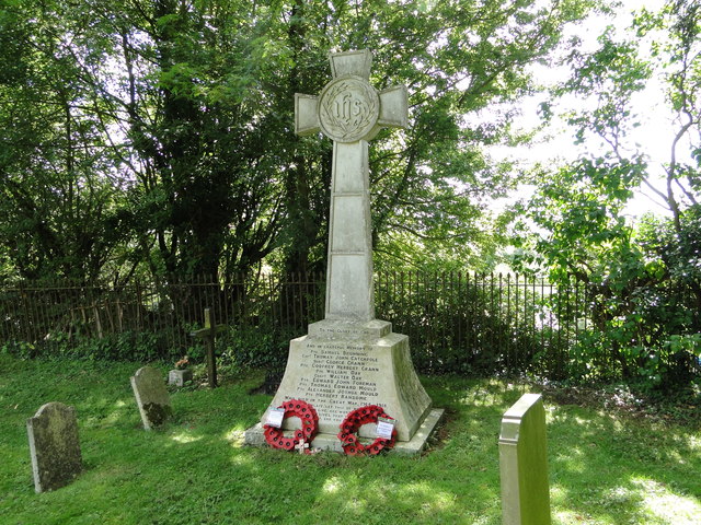
Lidgate Images

Images are sourced within 2km of 52.191717/0.51757701 or Grid Reference TL7257. Thanks to Geograph Open Source API. All images are credited.

Field by the B1063, Boyden End The aerial is over a mile away in Genesis Green
Field by the B1063, Boyden End
The aerial is over a mile away in Genesis Green
Trees at Redhouse Farm, Lidgate
House on the B1063, Lidgate
Access Road to Lidgate Hall and cottages
The Belt, Lidgate
The Belt, Lidgate
Field by The Belt, Lidgate
View from The Belt near Lidgate Looking towards Newmarket Road
View from The Belt near Lidgate
Looking towards Newmarket Road
The drive to Pippin Park
Approaching Cowlinge Corner under blue skies
A Suffolk thatched cottage
Footpath to Lidgate church, seen on the horizon
Accumulating cloud
Accumulating cloud
Sign to Newmarket at Cropley Grove
Lidgate village pond, sign, bus stop shelter and stores
Ousden gauging station on the Kennett
In the middle of the River Kennett As dry as a bone in August but can be several feet deep in winter, hence the gauging station. <a title="https://www.geograph.org.uk/photo/4635592" href="https://www.geograph.org.uk/photo/4635592">Link</a>
In the middle of the River Kennett
As dry as a bone in August but can be several feet deep in winter, hence the gauging station. Link
River of grass The River Kennett in August
<a title="https://www.geograph.org.uk/photo/4635594" href="https://www.geograph.org.uk/photo/4635594">Link</a>
River of grass
The River Kennett in August Link
The War Memorial at Lidgate The memorial stands in the churchyard and bears the names of ten men lost in WW1.  There was one casualty of WW2, Richard Anthony DEWING whose name is recorded on the churchyard gates.
The War Memorial at Lidgate
The memorial stands in the churchyard and bears the names of ten men lost in WW1. There was one casualty of WW2, Richard Anthony DEWING whose name is recorded on the churchyard gates.
Show me another place!

Lidgate is located at Grid Ref: TL7257 (Lat: 52.191717, Lng: 0.51757701)

Administrative County: Suffolk

District: West Suffolk

Police Authority: Suffolk

What 3 Words

///gladiator.cards.lessening. Near Newmarket, Suffolk

Related Wikis

Lidgate Castle

Lidgate Castle is a medieval motte and bailey castle in the village of Lidgate, Suffolk, England, built to an unusual quadrangular design. == Details... ==

Lidgate

Lidgate is a small village and a civil parish in the West Suffolk district, in the English county of Suffolk. Lidgate is located on the B1063 road in between...

Upend

Upend is a hamlet in the east of Cambridgeshire. It is five miles (8.0 km) south-east of Newmarket and lies in the same parish as Kirtling. Until the...

Ousden

Ousden is a village and civil parish in the West Suffolk district of Suffolk in eastern England. It is located around six miles west of Bury St Edmunds...

Nearby Amenities

Located within 500m of 52.191717,0.51757701
Post Box
Collection Times: Mo-Fr 16:30; Sa 10:15
Operator: Royal Mail
Post Box Type: lamp
Ref: CB8 53
Royal Cypher: EIIR
Royal Cypher Wikidata: Q33102113
Source: survey
Lat/Long: 52.1928741/0.5139893
Post Box
Collection Times: Mo-Fr 09:00; Sa 07:00
Operator: Royal Mail
Post Box Type: lamp
Ref: CB8 52
Royal Cypher: EIIR
Royal Cypher Wikidata: Q33102113
Source: survey
Lat/Long: 52.1892116/0.5234129
Lidgate Hall
Landuse: farm
Note Retag: CS #48756035
Lat/Long: 52.1940053/0.5169695
Lidgate
Created By: Potlatch 0.9c
Is In: Suffolk,England,UK
Place: village
Wikidata: Q3206482
Lat/Long: 52.1927181/0.5171515
Bus Stop
Bailey Pond
Naptan AtcoCode: 390050130
Naptan Bearing: SE
Naptan CommonName: Bailey Pond
Naptan Indicator: adj
Naptan Landmark: Bailey Pond
Naptan NaptanCode: sufgdjwa
Naptan Street: The Street
Naptan Verified: no
Source: naptan_import
Lat/Long: 52.1927795/0.5161411
Bus Stop
Bailey Pond
Naptan AtcoCode: 390050131
Naptan Bearing: NW
Naptan BusStopType: CUS
Naptan CommonName: Bailey Pond
Naptan Indicator: opp
Naptan Landmark: Bailey Pond
Naptan NaptanCode: sufgdjwd
Naptan Street: The Street
Naptan Verified: no
Source: naptan_import
Lat/Long: 52.192617/0.5161133
Defibrillator
Defibrillator Location: On the left-hand wall of the Star pub.
Emergency: defibrillator
Indoor: no
Operator: Community Heartbeat Trust
Ref: CHT-9597
Ref GB The Circuit: 1DFD9365-5905-4F43-B48E-B14A00B3C127
Lat/Long: 52.1912659/0.5188834
The data included in this document is from www.openstreetmap.org. The data is made available under ODbL.

Have you been to Lidgate?

Leave your review of Lidgate below (or comments, questions and feedback).