Bailey Pond

Lake, Pool, Pond, Freshwater Marsh in Suffolk West Suffolk

England

Bailey Pond

Field by the B1063, Boyden End The aerial is over a mile away in Genesis Green
Field by the B1063, Boyden End Credit: David Howard

Bailey Pond is a picturesque freshwater pond located in Suffolk, England. Nestled in a serene natural setting, it is a popular destination for both locals and tourists seeking tranquility and recreational opportunities. With an area of approximately 5 acres, Bailey Pond offers a variety of activities for visitors to enjoy.

Surrounded by lush vegetation and trees, the pond boasts crystal-clear waters that shimmer under the sunlight. Its calm surface is ideal for boating and fishing enthusiasts. Anglers can try their luck at catching a variety of fish species, including carp, perch, and roach. Boaters can rent rowboats and paddle out to explore the pond's hidden corners, taking in the stunning views and observing the local wildlife.

Bailey Pond is also a haven for nature lovers, as it is home to a diverse range of flora and fauna. The surrounding area is a freshwater marsh, which supports a rich ecosystem of plants and animals. Visitors can spot various bird species, such as swans, ducks, and herons, as they glide across the water or rest on the reed beds. The pond's tranquil ambiance also attracts other wildlife, including frogs, dragonflies, and water voles.

Additionally, Bailey Pond offers walking trails and picnic spots along its shores, allowing visitors to immerse themselves in the natural beauty of the area. Whether it's a leisurely stroll, a family outing, or a peaceful picnic, the pond provides a peaceful retreat from the hustle and bustle of everyday life.

Overall, Bailey Pond is a hidden gem in Suffolk, offering a serene environment, recreational activities, and abundant wildlife. Its beauty and tranquility make it a must-visit destination for nature enthusiasts and those seeking a peaceful escape.

If you have any feedback on the listing, please let us know in the comments section below.
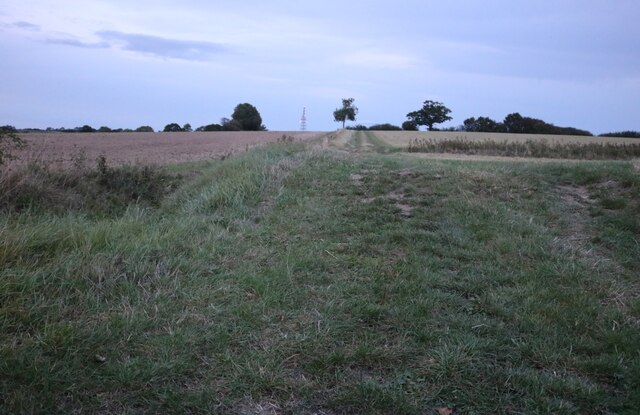
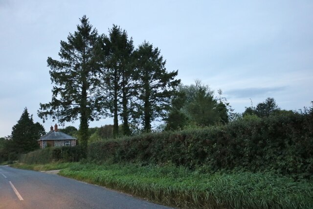
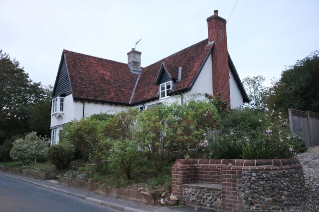
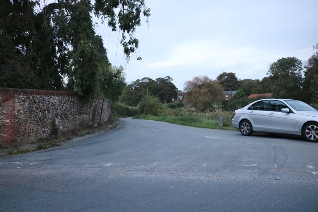
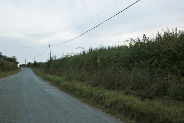
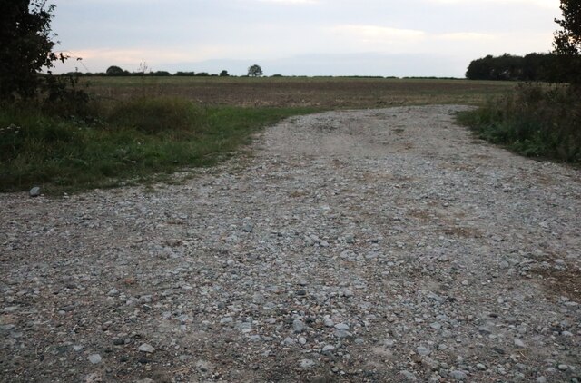
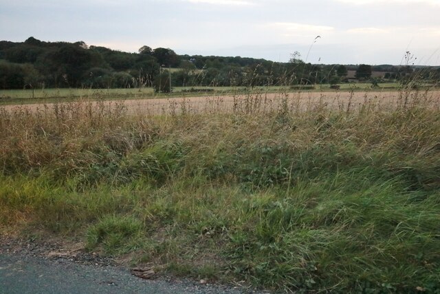
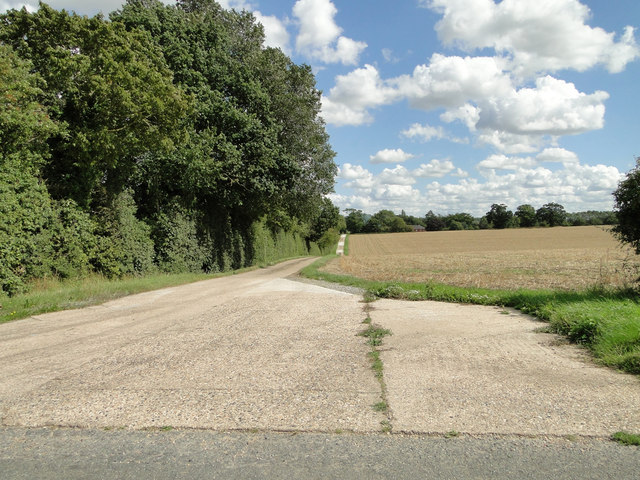
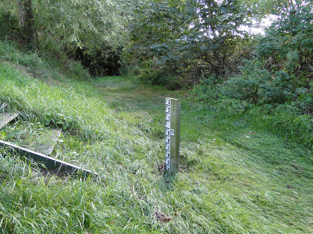
Bailey Pond Images

Images are sourced within 2km of 52.193094/0.51627935 or Grid Reference TL7257. Thanks to Geograph Open Source API. All images are credited.

Field by the B1063, Boyden End The aerial is over a mile away in Genesis Green
Field by the B1063, Boyden End
The aerial is over a mile away in Genesis Green
Trees at Redhouse Farm, Lidgate
House on the B1063, Lidgate
Access Road to Lidgate Hall and cottages
The Belt, Lidgate
The Belt, Lidgate
Field by The Belt, Lidgate
View from The Belt near Lidgate Looking towards Newmarket Road
View from The Belt near Lidgate
Looking towards Newmarket Road
The drive to Pippin Park
Approaching Cowlinge Corner under blue skies
A Suffolk thatched cottage
Footpath to Lidgate church, seen on the horizon
Accumulating cloud
Accumulating cloud
Sign to Newmarket at Cropley Grove
Lidgate village pond, sign, bus stop shelter and stores
Ousden gauging station on the Kennett
In the middle of the River Kennett As dry as a bone in August but can be several feet deep in winter, hence the gauging station. <a title="https://www.geograph.org.uk/photo/4635592" href="https://www.geograph.org.uk/photo/4635592">Link</a>
In the middle of the River Kennett
As dry as a bone in August but can be several feet deep in winter, hence the gauging station. Link
River of grass The River Kennett in August
<a title="https://www.geograph.org.uk/photo/4635594" href="https://www.geograph.org.uk/photo/4635594">Link</a>
River of grass
The River Kennett in August Link
The War Memorial at Lidgate The memorial stands in the churchyard and bears the names of ten men lost in WW1.  There was one casualty of WW2, Richard Anthony DEWING whose name is recorded on the churchyard gates.
The War Memorial at Lidgate
The memorial stands in the churchyard and bears the names of ten men lost in WW1. There was one casualty of WW2, Richard Anthony DEWING whose name is recorded on the churchyard gates.
Show me another place!

Bailey Pond is located at Grid Ref: TL7257 (Lat: 52.193094, Lng: 0.51627935)

Administrative County: Suffolk

District: West Suffolk

Police Authority: Suffolk

What 3 Words

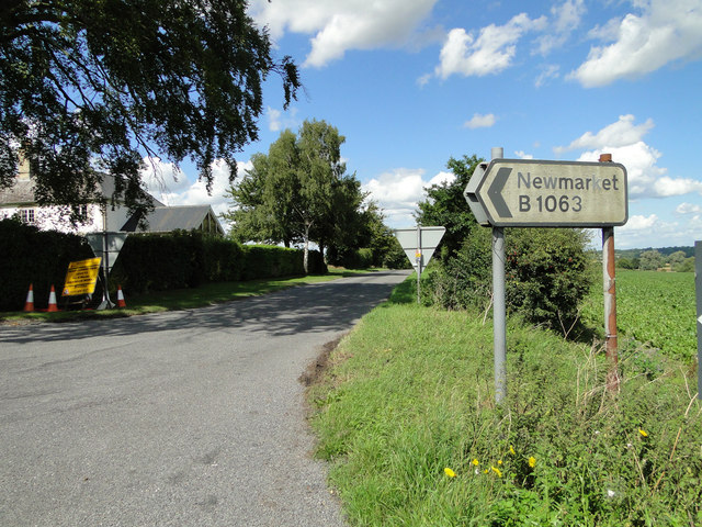
///amended.wonderfully.seducing. Near Newmarket, Suffolk

Related Wikis

Lidgate Castle

Lidgate Castle is a medieval motte and bailey castle in the village of Lidgate, Suffolk, England, built to an unusual quadrangular design. == Details... ==

Lidgate

Lidgate is a small village and a civil parish in the West Suffolk district, in the English county of Suffolk. Lidgate is located on the B1063 road in between...

Upend

Upend is a hamlet in the east of Cambridgeshire. It is five miles (8.0 km) south-east of Newmarket and lies in the same parish as Kirtling. Until the...

Ousden

Ousden is a village and civil parish in the West Suffolk district of Suffolk in eastern England. It is located around six miles west of Bury St Edmunds...

Nearby Amenities

Located within 500m of 52.193094,0.51627935
Post Box
Collection Times: Mo-Fr 16:30; Sa 10:15
Operator: Royal Mail
Post Box Type: lamp
Ref: CB8 53
Royal Cypher: EIIR
Royal Cypher Wikidata: Q33102113
Source: survey
Lat/Long: 52.1928741/0.5139893
Lidgate Hall
Landuse: farm
Note Retag: CS #48756035
Lat/Long: 52.1940053/0.5169695
Lidgate
Created By: Potlatch 0.9c
Is In: Suffolk,England,UK
Place: village
Wikidata: Q3206482
Lat/Long: 52.1927181/0.5171515
Bus Stop
Bailey Pond
Naptan AtcoCode: 390050130
Naptan Bearing: SE
Naptan CommonName: Bailey Pond
Naptan Indicator: adj
Naptan Landmark: Bailey Pond
Naptan NaptanCode: sufgdjwa
Naptan Street: The Street
Naptan Verified: no
Source: naptan_import
Lat/Long: 52.1927795/0.5161411
Bus Stop
Bailey Pond
Naptan AtcoCode: 390050131
Naptan Bearing: NW
Naptan BusStopType: CUS
Naptan CommonName: Bailey Pond
Naptan Indicator: opp
Naptan Landmark: Bailey Pond
Naptan NaptanCode: sufgdjwd
Naptan Street: The Street
Naptan Verified: no
Source: naptan_import
Lat/Long: 52.192617/0.5161133
Defibrillator
Defibrillator Location: On the left-hand wall of the Star pub.
Emergency: defibrillator
Indoor: no
Operator: Community Heartbeat Trust
Ref: CHT-9597
Lat/Long: 52.1912659/0.5188834
The data included in this document is from www.openstreetmap.org. The data is made available under ODbL.

Have you been to Bailey Pond?

Leave your review of Bailey Pond below (or comments, questions and feedback).