Craigs Top
Hill, Mountain in Renfrewshire
Scotland
Craigs Top
Craig's Top is a prominent hill located in the county of Renfrewshire, Scotland. Standing at an elevation of approximately 400 meters (1312 feet), it is considered one of the highest points in the region. The hill is situated near the village of Lochwinnoch, offering breathtaking panoramic views of the surrounding countryside and the nearby Clyde Muirshiel Regional Park.
The terrain of Craig's Top is characterized by a mix of rolling hills, heather moorland, and scattered woodlands. The hill itself is primarily composed of sedimentary rocks, such as sandstone and shale, which have been shaped over thousands of years through erosion and glaciation. This geological diversity provides a rich habitat for a variety of plant and animal species.
The hill is a popular destination for outdoor enthusiasts, including hikers, walkers, and nature lovers. Several well-marked trails lead up to the summit, offering different levels of difficulty to cater to a range of fitness levels. Along the way, visitors can enjoy the diverse flora and fauna, including heather, bilberry, and various species of birds.
The summit of Craig's Top provides a stunning vantage point, with views stretching across Renfrewshire and beyond. On clear days, it is possible to see as far as the distant hills of the Scottish Highlands. This makes it a favorite spot for photographers, who are often rewarded with breathtaking sunset and sunrise vistas.
Overall, Craig's Top is a picturesque hill in Renfrewshire, offering outdoor enthusiasts the opportunity to connect with nature and enjoy the stunning beauty of the Scottish countryside.
If you have any feedback on the listing, please let us know in the comments section below.
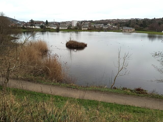
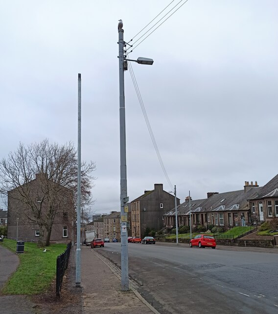
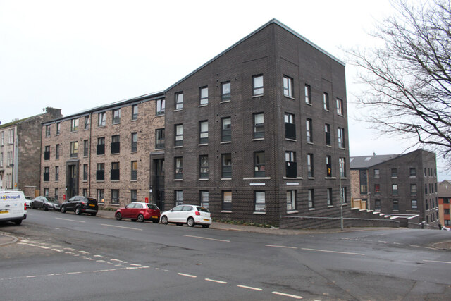
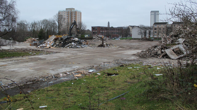
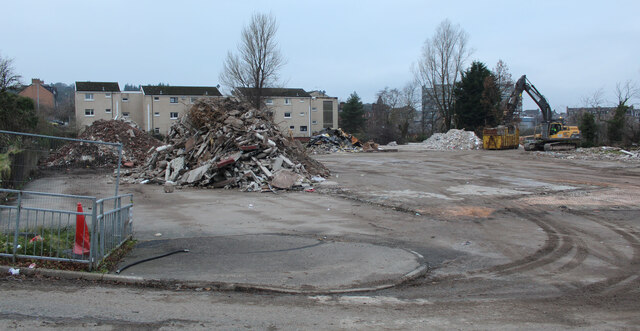
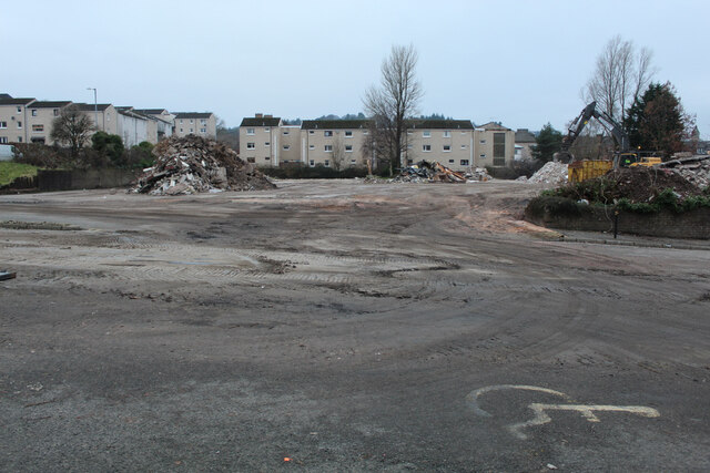
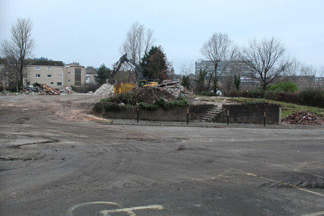
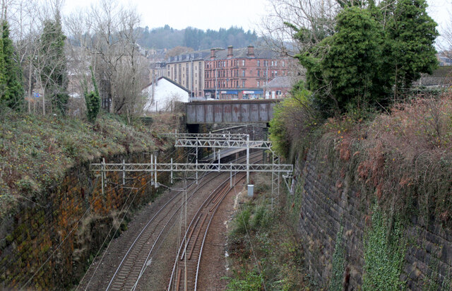
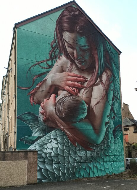
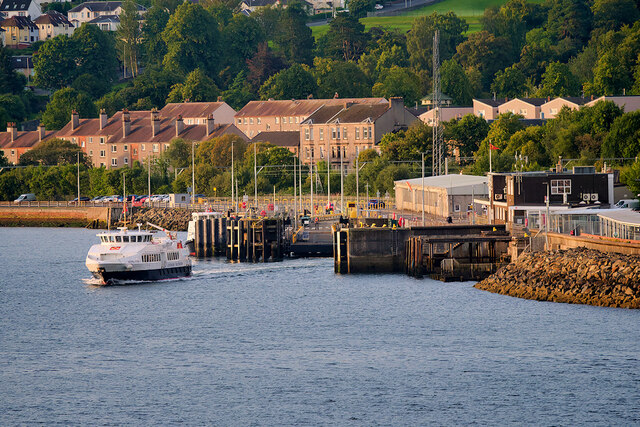
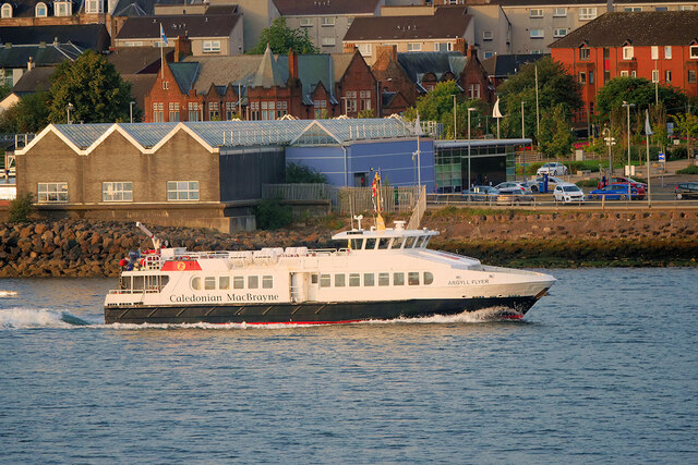
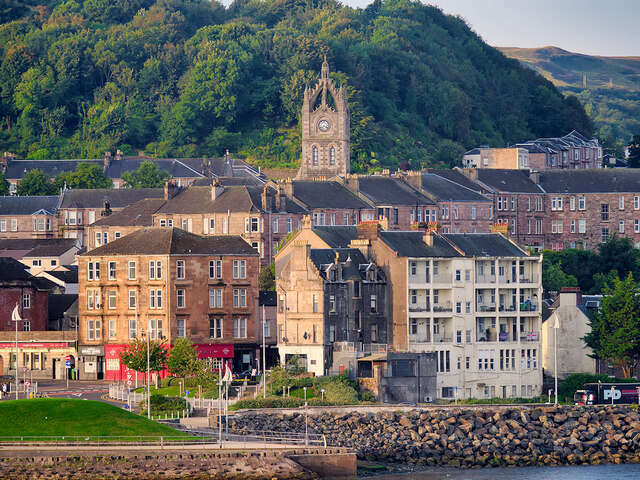
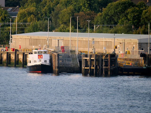
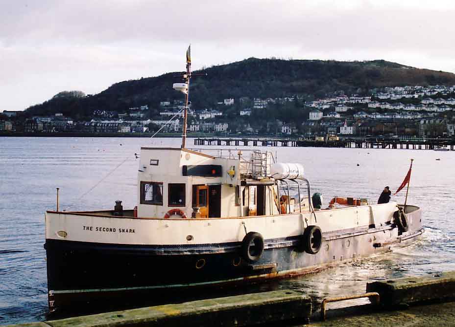
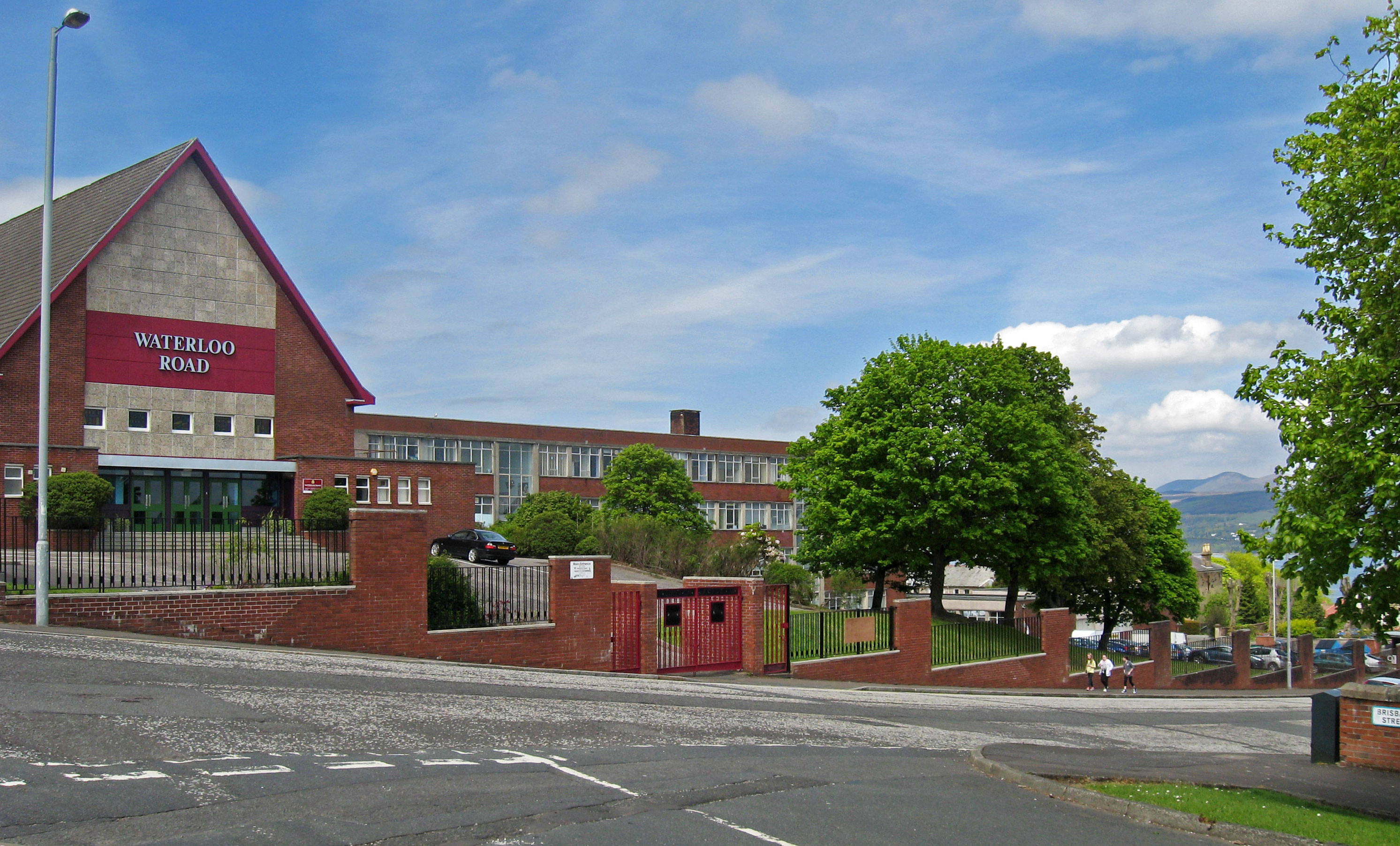
Craigs Top Images
Images are sourced within 2km of 55.955533/-4.7936853 or Grid Reference NS2577. Thanks to Geograph Open Source API. All images are credited.


Craigs Top is located at Grid Ref: NS2577 (Lat: 55.955533, Lng: -4.7936853)
Unitary Authority: Inverclyde
Police Authority: Renfrewshire and Inverclyde
What 3 Words
///crockery.harnessed.protests. Near Gourock, Inverclyde
Nearby Locations
Related Wikis
Lyle Hill
Lyle Hill stands at the West End of Greenock in Inverclyde, Scotland. It has scenic viewpoints accessible from Lyle Road, which was constructed in 1879...
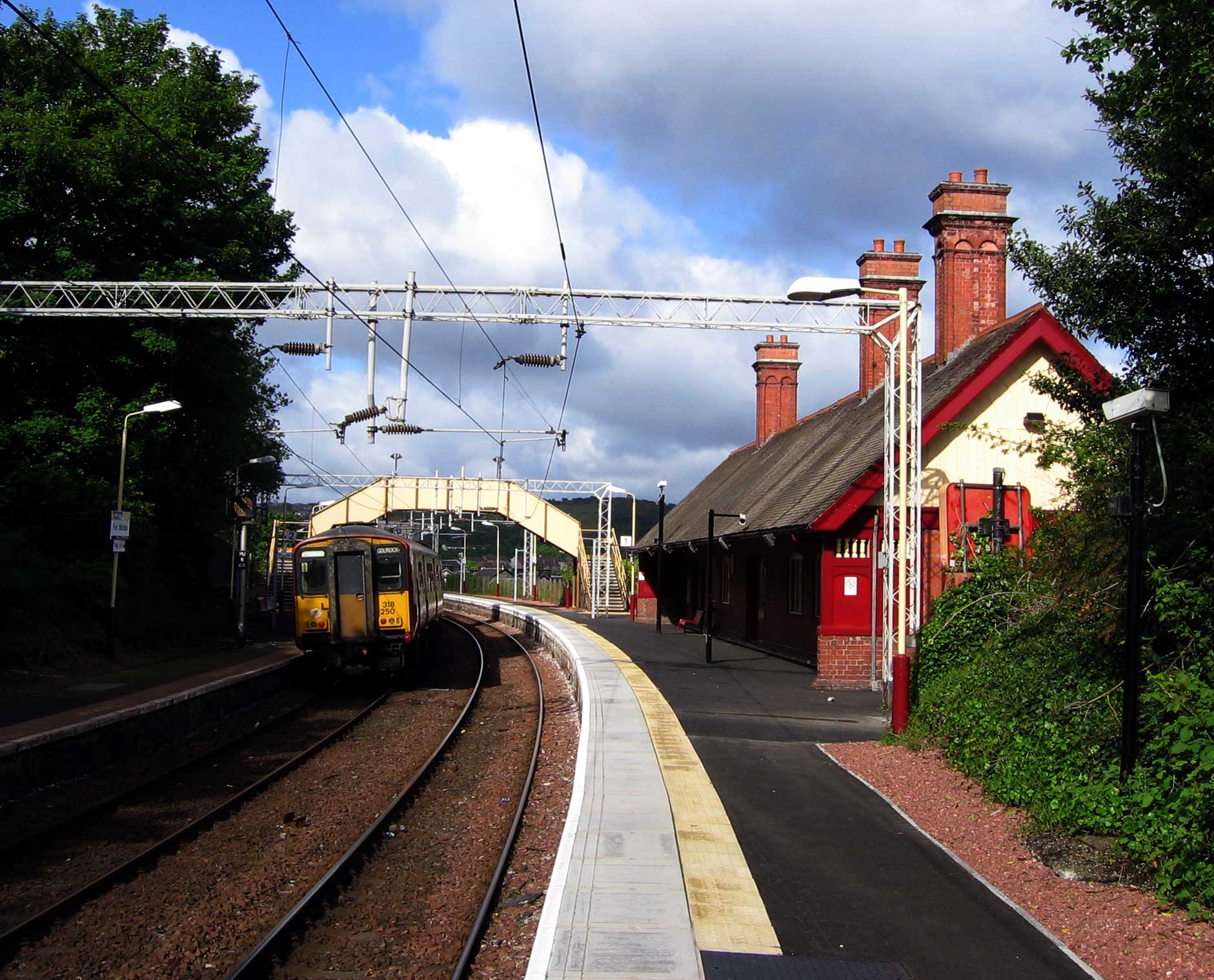
Fort Matilda railway station
Fort Matilda railway station lies at the far western edge of the town of Greenock, Scotland. It is a non-staffed station, and is the last stop before the...

Fort Matilda
Fort Matilda is a suburb at the far western edge of Greenock, Scotland. Its name comes from a coastal battery built on Whiteforeland Point 1814–1819 to...

St Columba's High School, Gourock
St Columba's High School is a co-educational six-year Roman Catholic, comprehensive secondary school, located next to Tower Hill Gourock, Inverclyde, Scotland...
Finnart
The lands of Finnart to the west of Greenock belonged to the Earl of Douglas in medieval times. Around 1455 they were forfeited to the crown. Finnart was...

Clydeview Academy
Clydeview Academy is a non-denominational secondary school situated in Gourock, Inverclyde. It was founded in 2011 and opened to pupils on 17 August 2011...
Greenock Academy
The Greenock Academy was a mixed non-denominational school in the west end of Greenock, Scotland, founded in 1855, originally independent, later a grammar...
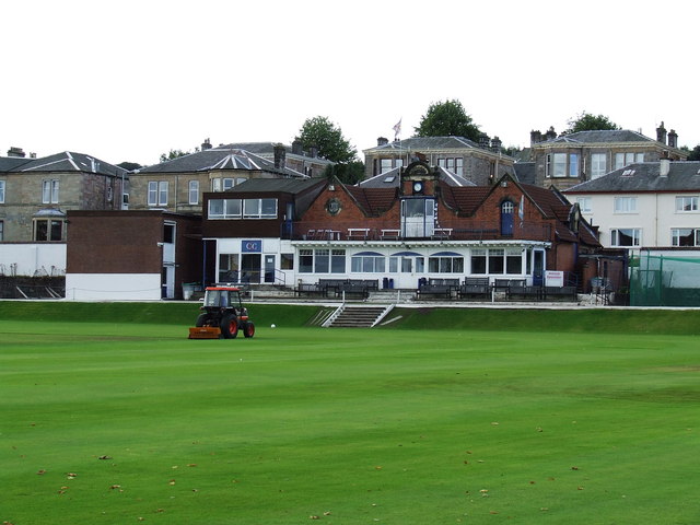
Glenpark Cricket Ground
Glenpark Cricket Ground is a cricket ground in Greenock, Scotland. The first recorded match held on the ground came in 1869 when Greenock played the Players...
Related Videos

Scotland Esplanade Walking Tour | We walk the Esplanade, Battery Park, and streets of Greenock.
Scotland Esplanade Walking Tour | Join us as we walk the Esplanade in Scotland and visit Battery Park, plus walking streets of ...
SWEET TREAT for SCOTTISH HIKING | SAFFRON RICE PUDDING
One of the benefits of living in Scotland is that I get to do a lot of hill-walking. I am sharing what a usual day of hiking for me looks ...
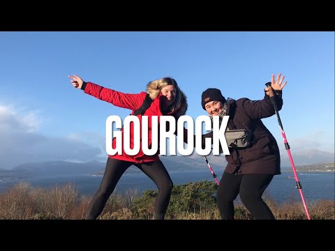
Tower Hill in Gourock
Sam and I head out to Gourock for the day to walk up Tower Hill!
Nearby Amenities
Located within 500m of 55.955533,-4.7936853Have you been to Craigs Top?
Leave your review of Craigs Top below (or comments, questions and feedback).