Sròn Mallanach
Hill, Mountain in Dunbartonshire
Scotland
Sròn Mallanach
Sròn Mallanach is a prominent hill located in Dunbartonshire, Scotland. It is situated in the southern part of the region, near the village of Gartocharn. With an elevation of approximately 425 meters (1,394 feet), it offers stunning panoramic views of the surrounding countryside and nearby Loch Lomond.
The hill is characterized by its distinctive shape, featuring a long and narrow ridge that extends for about 2.5 kilometers (1.5 miles). This ridge is covered in lush green vegetation, with heather and grasses dominating the landscape. The slopes of Sròn Mallanach are fairly steep, particularly on its eastern side, providing a challenging terrain for hikers and climbers.
The summit of Sròn Mallanach offers breathtaking views of Loch Lomond and the Trossachs National Park. On a clear day, visitors can also see the picturesque hills and mountains of the Scottish Highlands in the distance. The hill itself is surrounded by rolling farmland, giving it a peaceful and rural atmosphere.
Access to Sròn Mallanach is primarily through footpaths and trails that wind their way up the hill. These routes provide a variety of options for different levels of fitness and experience, making it an accessible destination for both casual walkers and more seasoned hikers. The hill is a popular spot for outdoor enthusiasts, offering opportunities for activities like hillwalking, birdwatching, and photography.
Overall, Sròn Mallanach is a stunning hill in Dunbartonshire, offering a rewarding outdoor experience with its beautiful scenery and panoramic views.
If you have any feedback on the listing, please let us know in the comments section below.
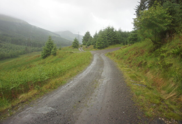
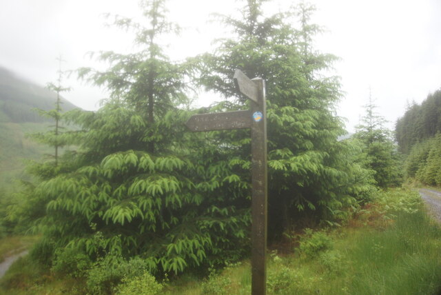
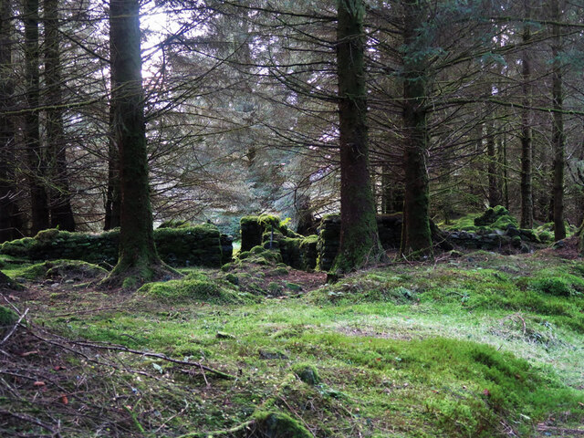
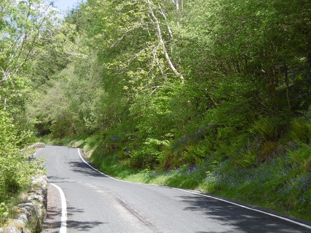
Sròn Mallanach Images
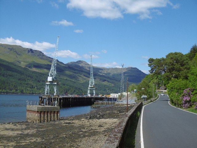
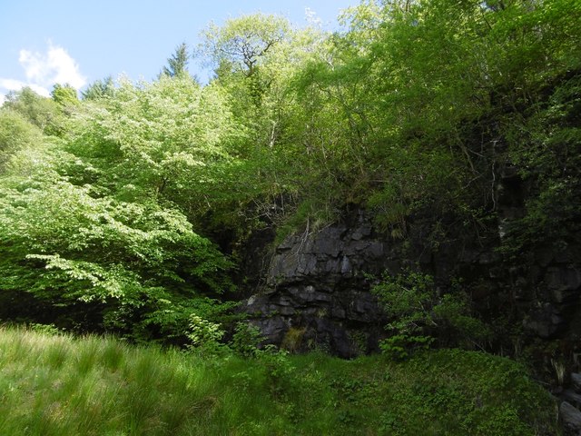
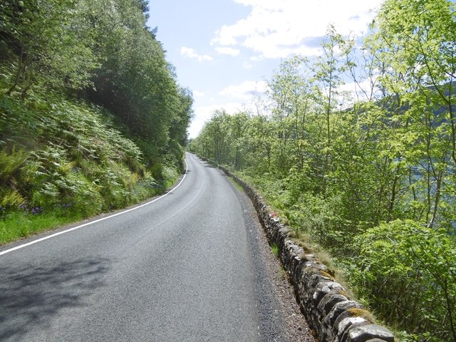
Images are sourced within 2km of 56.136679/-4.8068339 or Grid Reference NS2597. Thanks to Geograph Open Source API. All images are credited.


Sròn Mallanach is located at Grid Ref: NS2597 (Lat: 56.136679, Lng: -4.8068339)
Unitary Authority: Argyll and Bute
Police Authority: Argyll and West Dunbartonshire
What 3 Words
///finer.overjoyed.sideboard. Near Garelochhead, Argyll & Bute
Nearby Locations
Related Wikis

Glenmallan
Glenmallan is a settlement in Argyll and Bute, Scotland, on the shore of Loch Long. It has a population of under 1000, and its coordinates are latitude...

Beinn Reithe
Beinn Reithe is a mountain in Argyll in the Scottish Highlands and forms part of the Ardgoil Peninsula and Arrochar Alps. Beinn Reithe is located between...

Glen Douglas Halt railway station
Glen Douglas Halt railway station was known as Craggan in the line's construction reports, also Glen Douglas Siding, Glen Douglas Platform (Private), Glen...
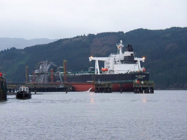
Finnart Oil Terminal
Finnart Oil Terminal, also known as Finnart Ocean Terminal or Chap Point, is an oil depot on the eastern shore of Loch Long, Firth of Clyde on the west...
Nearby Amenities
Located within 500m of 56.136679,-4.8068339Have you been to Sròn Mallanach?
Leave your review of Sròn Mallanach below (or comments, questions and feedback).