Cardwell Bay
Bay in Renfrewshire
Scotland
Cardwell Bay
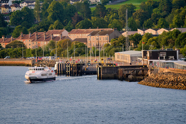
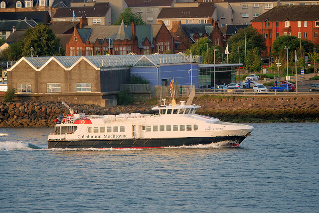
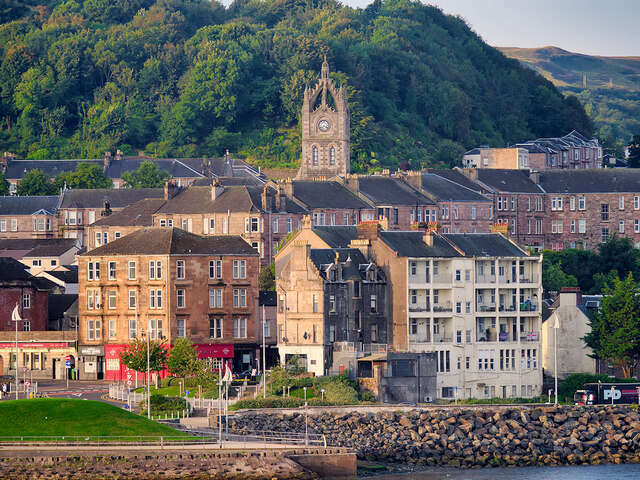
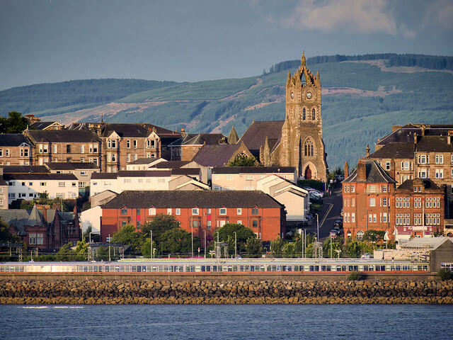
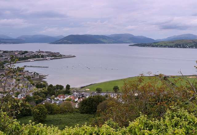
Cardwell Bay is a small coastal area located in Renfrewshire, Scotland. Situated on the southern bank of the Firth of Clyde, it is known for its picturesque beauty and tranquil surroundings. The bay is nestled between the towns of Gourock and Wemyss Bay, offering stunning views of the surrounding hills and the Clyde Estuary.
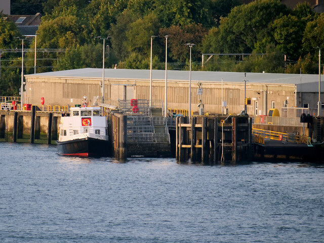
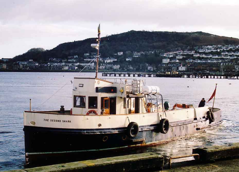
Cardwell Bay is a popular destination for both locals and tourists due to its sandy beach and calm waters, making it ideal for swimming and water sports during the summer months. The bay is also home to a marina, providing a safe haven for boats and yachts, and offering opportunities for sailing and boating enthusiasts.
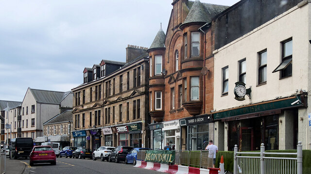
In addition to its natural beauty, Cardwell Bay boasts a range of amenities and attractions for visitors. The area is dotted with cafes, restaurants, and pubs, where visitors can relax and enjoy a meal or drink while taking in the scenic views. There are also several shops and boutiques, offering a variety of local crafts and souvenirs.
For those interested in history and culture, Cardwell Bay is located in close proximity to several notable landmarks. The nearby Wemyss Bay Railway Station is an architectural gem, known for its stunning Victorian design. Additionally, the area is home to several historical sites, including the ruins of Newark Castle and the ancient Neolithic site of Skelmorlie Aisle.
Overall, Cardwell Bay is a charming coastal retreat, offering a mix of natural beauty, recreational activities, and cultural attractions. Whether enjoying a day at the beach, exploring historical sites, or simply admiring the stunning vistas, visitors to Cardwell Bay are sure to find something to suit their interests.
If you have any feedback on the listing, please let us know in the comments section below.
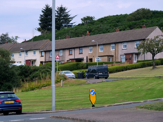
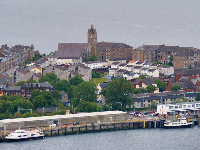
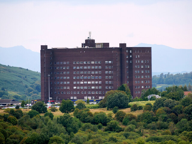
Cardwell Bay Images
Images are sourced within 2km of 55.957906/-4.803967 or Grid Reference NS2577. Thanks to Geograph Open Source API. All images are credited.


Cardwell Bay is located at Grid Ref: NS2577 (Lat: 55.957906, Lng: -4.803967)
Unitary Authority: Inverclyde
Police Authority: Renfrewshire and Inverclyde
What 3 Words
///reduction.defrost.hungry. Near Gourock, Inverclyde
Nearby Locations
Related Wikis

Fort Matilda
Fort Matilda is a suburb at the far western edge of Greenock, Scotland. Its name comes from a coastal battery built on Whiteforeland Point 1814–1819 to...
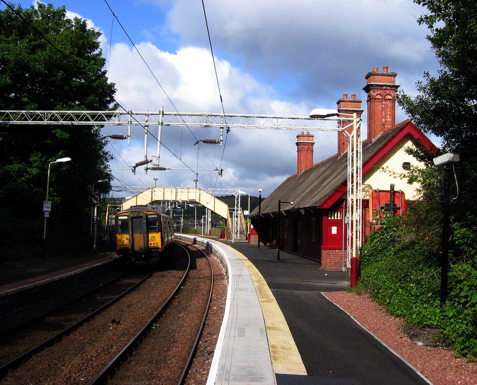
Fort Matilda railway station
Fort Matilda railway station lies at the far western edge of the town of Greenock, Scotland. It is a non-staffed station, and is the last stop before the...

Clydeview Academy
Clydeview Academy is a non-denominational secondary school situated in Gourock, Inverclyde. It was founded in 2011 and opened to pupils on 17 August 2011...

St Columba's High School, Gourock
St Columba's High School is a co-educational six-year Roman Catholic, comprehensive secondary school, located next to Tower Hill Gourock, Inverclyde, Scotland...
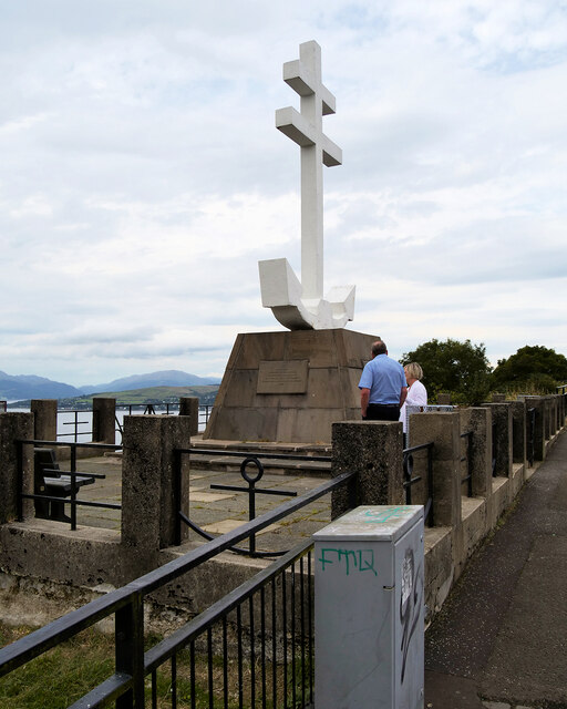
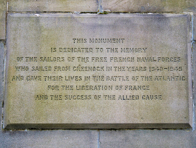
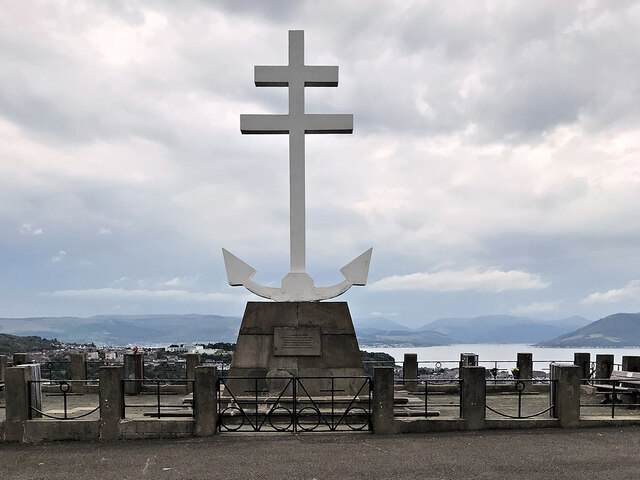
Lyle Hill
Lyle Hill stands at the West End of Greenock in Inverclyde, Scotland. It has scenic viewpoints accessible from Lyle Road, which was constructed in 1879...

Gourock railway station
Gourock railway station is a terminus of the Inverclyde Line, located at Gourock pierhead, Scotland, and serves the town as well as the ferry services...
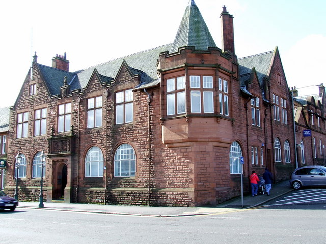
Municipal Buildings, Gourock
The Municipal Buildings are based in Shore Street, Gourock, Inverclyde, Scotland. The structure, which is used as a business centre, is a Category C listed...

Gourock
Gourock ( GOOR-ək; Scottish Gaelic: Guireag [ˈkuɾʲak]) is a town in the Inverclyde council area and formerly a burgh of the County of Renfrew in the west...
Related Videos

Scotland Esplanade Walking Tour | We walk the Esplanade, Battery Park, and streets of Greenock.
Scotland Esplanade Walking Tour | Join us as we walk the Esplanade in Scotland and visit Battery Park, plus walking streets of ...
SWEET TREAT for SCOTTISH HIKING | SAFFRON RICE PUDDING
One of the benefits of living in Scotland is that I get to do a lot of hill-walking. I am sharing what a usual day of hiking for me looks ...

Lunderston Bay Play Park - Gourock Inverclyde
Lunderston Bay Playground, Gourock PA19 1BB. A new play park for families right next to the beach with toilets and lunch options ...
Nearby Amenities
Located within 500m of 55.957906,-4.803967Have you been to Cardwell Bay?
Leave your review of Cardwell Bay below (or comments, questions and feedback).