Porth Castell
Bay in Anglesey
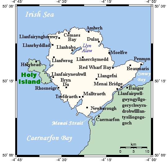
Wales
Porth Castell
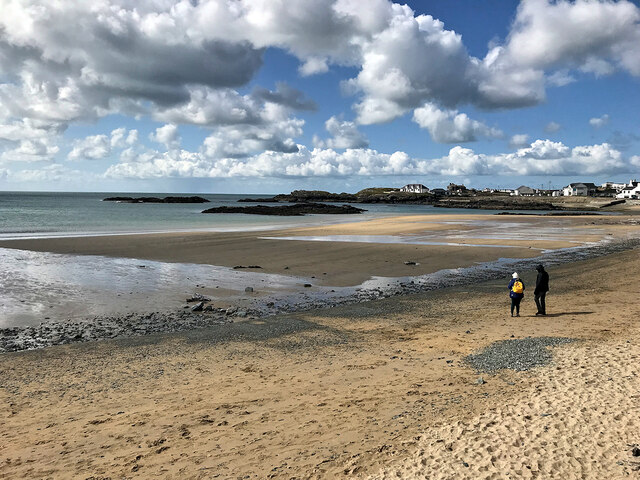
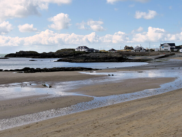
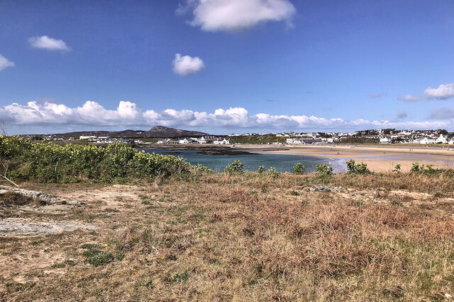
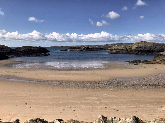
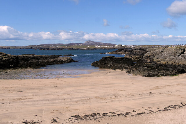
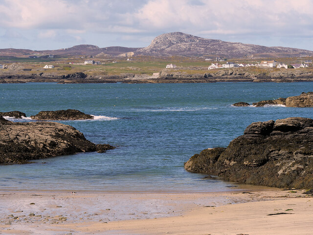
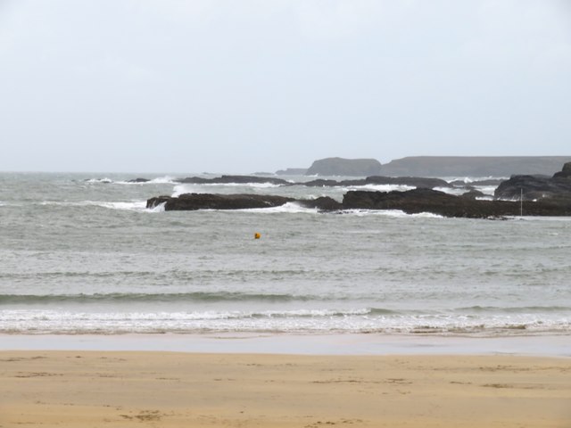
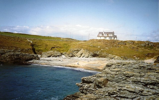
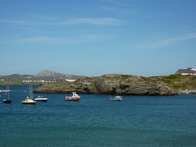
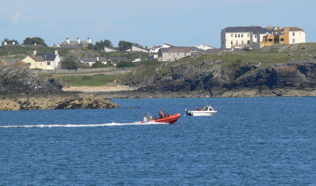
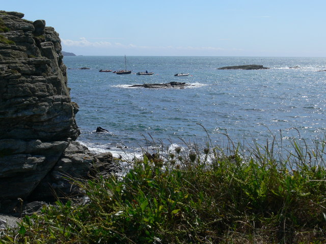
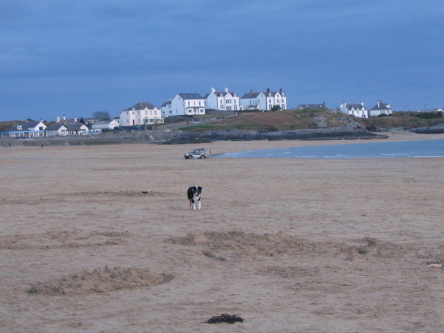
Porth Castell, also known as Castell Bay, is a picturesque beach located on the Isle of Anglesey in Wales. Situated on the western coast of the island, it offers stunning views of the Irish Sea and is surrounded by rugged cliffs and rocky outcrops.
The beach itself is a mixture of sand and pebbles, providing a perfect spot for sunbathing and relaxing. During low tide, a wide expanse of golden sand is revealed, making it an ideal place for beachcombing and exploring rock pools. The clear blue waters of the bay are popular among swimmers and water sports enthusiasts, who enjoy activities such as paddleboarding and kayaking.
Porth Castell is also known for its rich wildlife and natural beauty. The bay is home to a variety of seabirds, including gulls, cormorants, and oystercatchers. It is not uncommon to spot seals basking on the rocks or dolphins playfully swimming offshore.
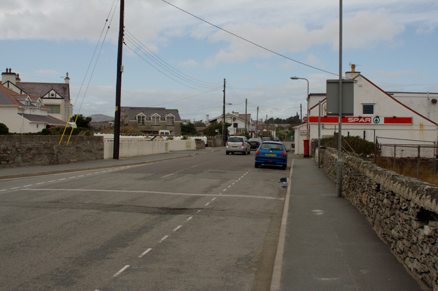
The beach is easily accessible, with a car park located nearby, providing convenience for visitors. There are also public toilets and a café overlooking the bay, offering refreshments and snacks.
Porth Castell is a peaceful and tranquil destination, perfect for those seeking a break from the hustle and bustle of everyday life. Its stunning natural surroundings and diverse wildlife make it a must-visit spot for nature lovers and beach enthusiasts alike.
If you have any feedback on the listing, please let us know in the comments section below.
Porth Castell Images
Images are sourced within 2km of 53.271722/-4.6238275 or Grid Reference SH2578. Thanks to Geograph Open Source API. All images are credited.


Porth Castell is located at Grid Ref: SH2578 (Lat: 53.271722, Lng: -4.6238275)
Unitary Authority: Isle of Anglesey
Police Authority: North Wales
What 3 Words
///redeemed.file.lollipop. Near Holyhead, Isle of Anglesey
Nearby Locations
Related Wikis
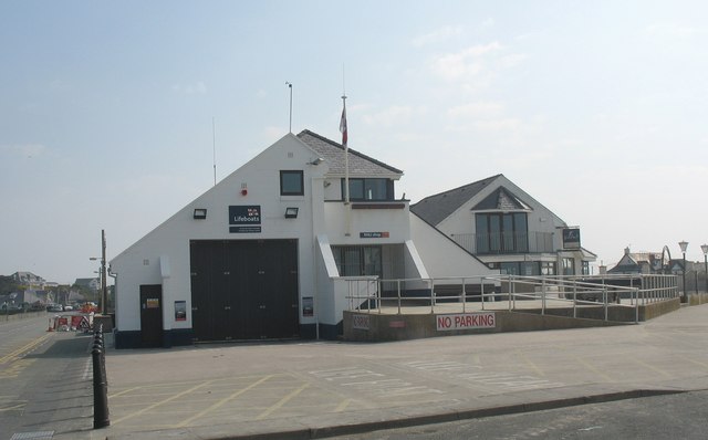
Trearddur Bay Lifeboat Station
Trearddur Bay Lifeboat Station is located in Trearddur, Anglesey, Wales and opened in 1967 as an inshore lifeboat station.The station currently operates...
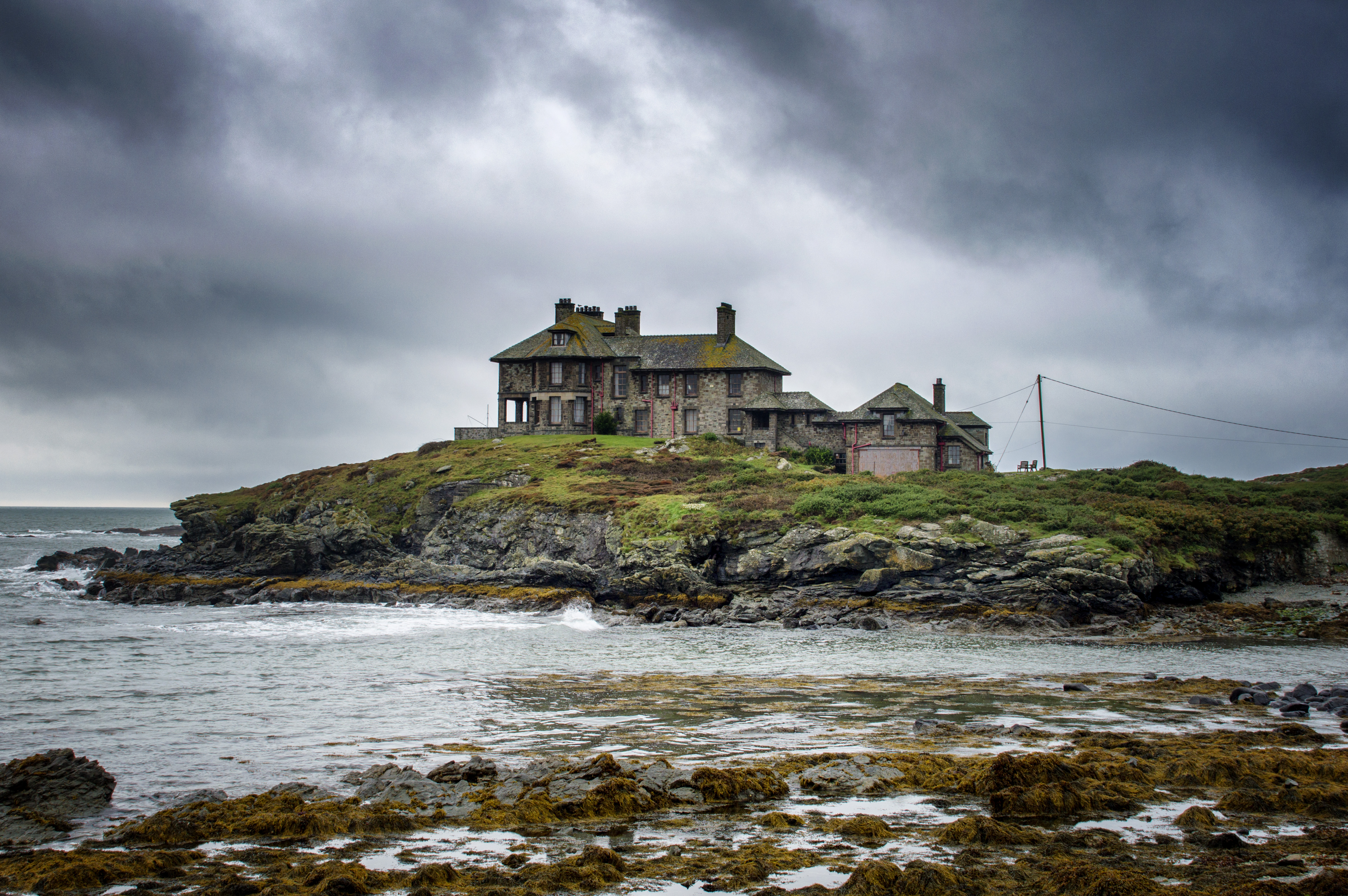
Craig y Mor
Craig y Mor is a house overlooking Treaddur Bay on Anglesey, Wales. The house dates from the early 20th century and has always been privately owned. It...

Isallt Bach
Isallt Bach is a hamlet in the community of Trearddur, Anglesey, Wales, which is 138.7 miles (223.3 km) from Cardiff and 225.8 miles (363.4 km) from London...
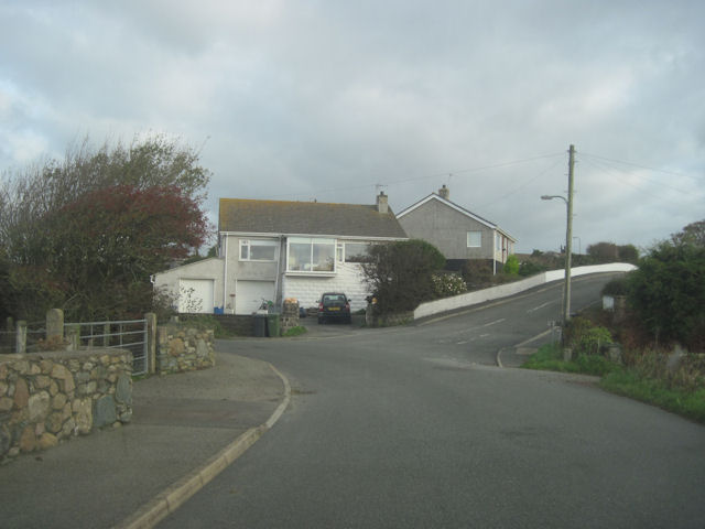
Trearddur
Trearddur or Trearddur Bay (Welsh: Bae Trearddur) is a village, seaside resort and community south of Holyhead on the west coast of Holy Island off the...
Holy Island, Anglesey
Holy Island (Welsh: Ynys Gybi, 'the island of (Saint) Cybi') is an island on the western side of the larger Isle of Anglesey, Wales, from which it is separated...
Holyhead Golf Club
Holyhead Golf Club is a golf course to the southeast of Holyhead, in Anglesey, northwestern Wales. It is a 6090-yard par-71 course, which was originally...
Ynys Benlas
Ynys Benlas is a small islet situated in the Inland Sea (Welsh: Y Lasinwen), part of the Cymyran Strait between Anglesey and Holy Island. It measures approximately...

Trefignath
Trefignath is a Neolithic burial chamber near Trearddur, south of Holyhead on Holy Island, off Anglesey in Wales. In its most complete form it included...
Nearby Amenities
Located within 500m of 53.271722,-4.6238275Have you been to Porth Castell?
Leave your review of Porth Castell below (or comments, questions and feedback).