Fort Matilda
Settlement in Renfrewshire
Scotland
Fort Matilda

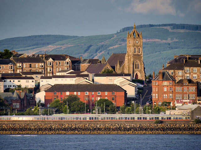
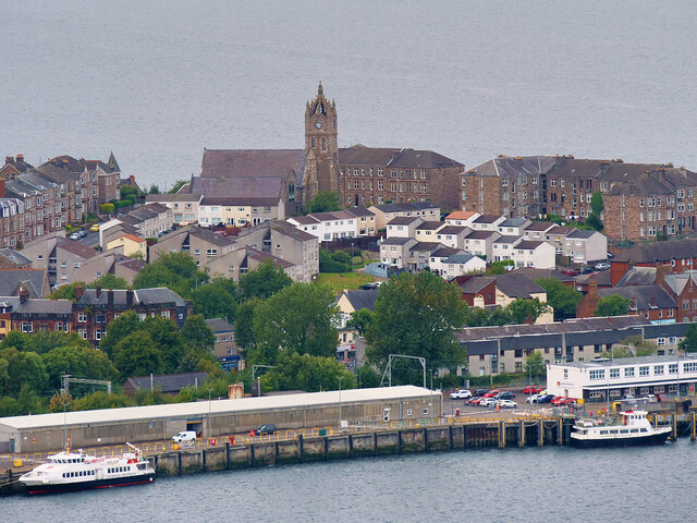
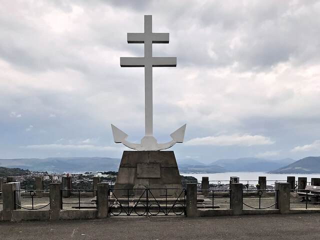
Fort Matilda is a historical landmark located in the town of Greenock, Renfrewshire, in the western part of Scotland. Built in the mid-19th century, it served as a coastal defense fortification overlooking the Firth of Clyde. The fort was named after Matilda, the wife of King William II of Scotland.
Constructed between 1862 and 1867, Fort Matilda was designed to protect the strategic waterways of the Clyde Estuary during a period of increased tension and fears of invasion. The fort's location offered a vantage point to monitor and defend against potential threats from the sea. It consisted of a series of stone and brick buildings, gun emplacements, and underground tunnels.
During World War II, the fort played a crucial role as a coastal defense battery, equipped with heavy artillery to protect the nearby shipbuilding yards and industrial areas. It was heavily manned throughout the war, with soldiers stationed there to guard against German attacks.
After the war, Fort Matilda gradually lost its military significance and was eventually decommissioned in 1956. Since then, the site has been repurposed for various community uses, including a sports field and a children's play area. The fort's original structures have been well-preserved, with some of the underground tunnels accessible to the public, providing a glimpse into the fort's military history.
Today, Fort Matilda stands as a reminder of Scotland's military heritage and serves as a popular tourist attraction, offering visitors the opportunity to explore its historical significance and enjoy the picturesque views of the Clyde Estuary.
If you have any feedback on the listing, please let us know in the comments section below.
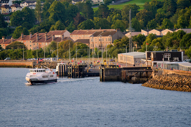
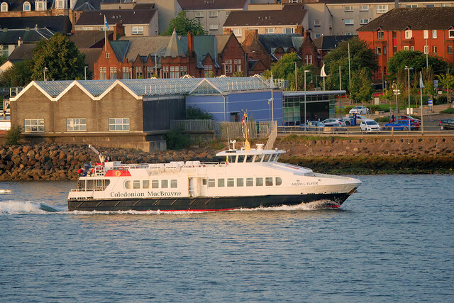
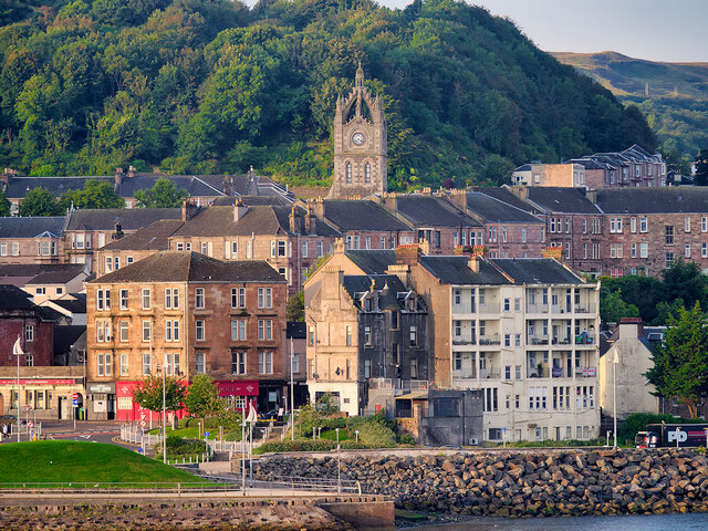
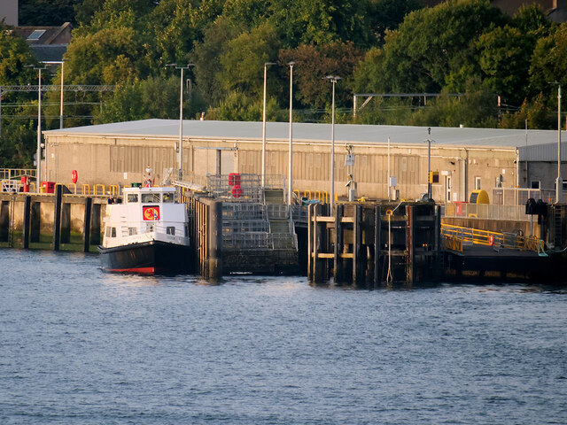
Fort Matilda Images
Images are sourced within 2km of 55.959581/-4.794954 or Grid Reference NS2577. Thanks to Geograph Open Source API. All images are credited.


Fort Matilda is located at Grid Ref: NS2577 (Lat: 55.959581, Lng: -4.794954)
Unitary Authority: Inverclyde
Police Authority: Renfrewshire and Inverclyde
What 3 Words
///lawyer.moods.screamed. Near Gourock, Inverclyde
Nearby Locations
Related Wikis
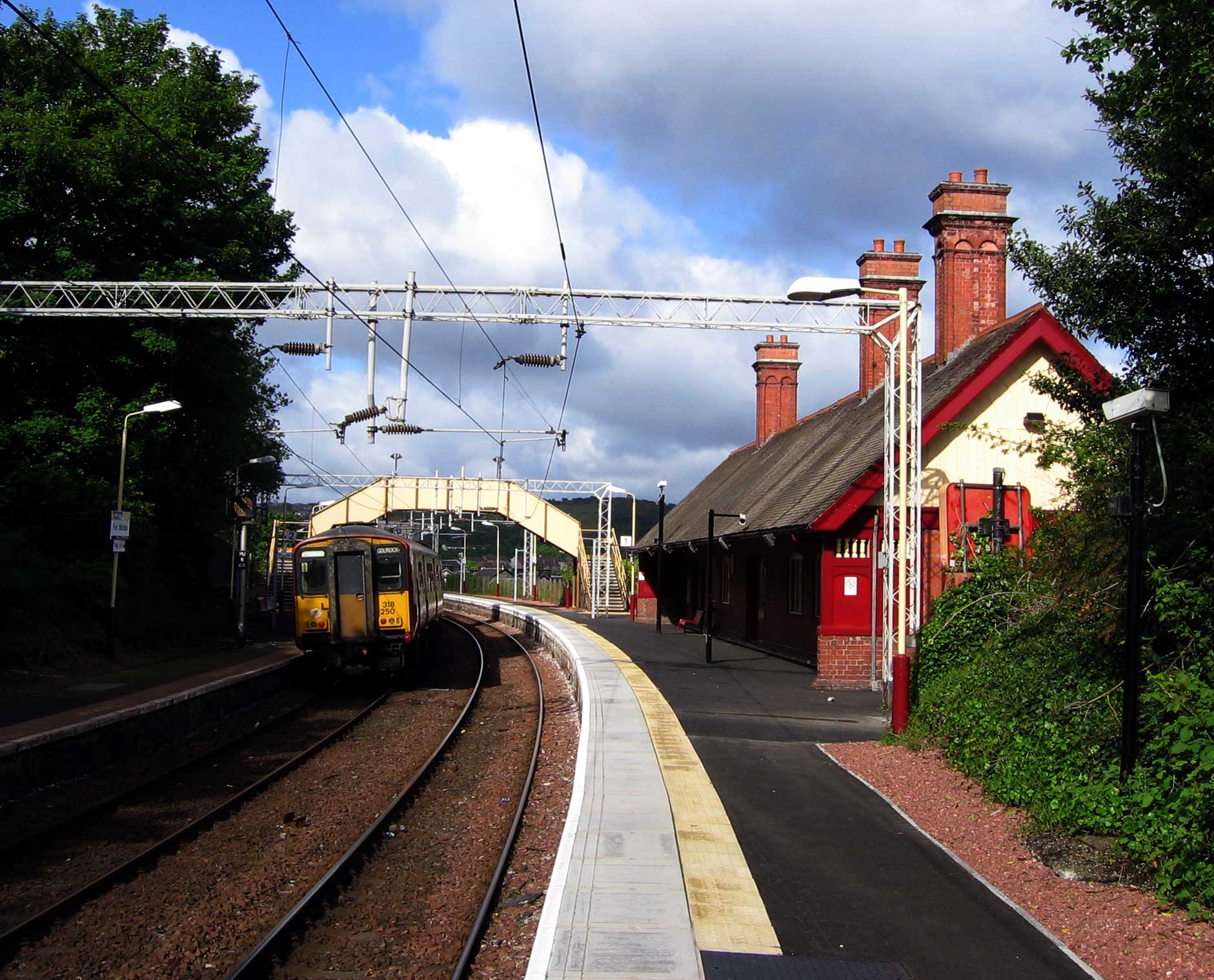
Fort Matilda railway station
Fort Matilda railway station lies at the far western edge of the town of Greenock, Scotland. It is a non-staffed station, and is the last stop before the...

Fort Matilda
Fort Matilda is a suburb at the far western edge of Greenock, Scotland. Its name comes from a coastal battery built on Whiteforeland Point 1814–1819 to...
Lyle Hill
Lyle Hill stands at the West End of Greenock in Inverclyde, Scotland. It has scenic viewpoints accessible from Lyle Road, which was constructed in 1879...

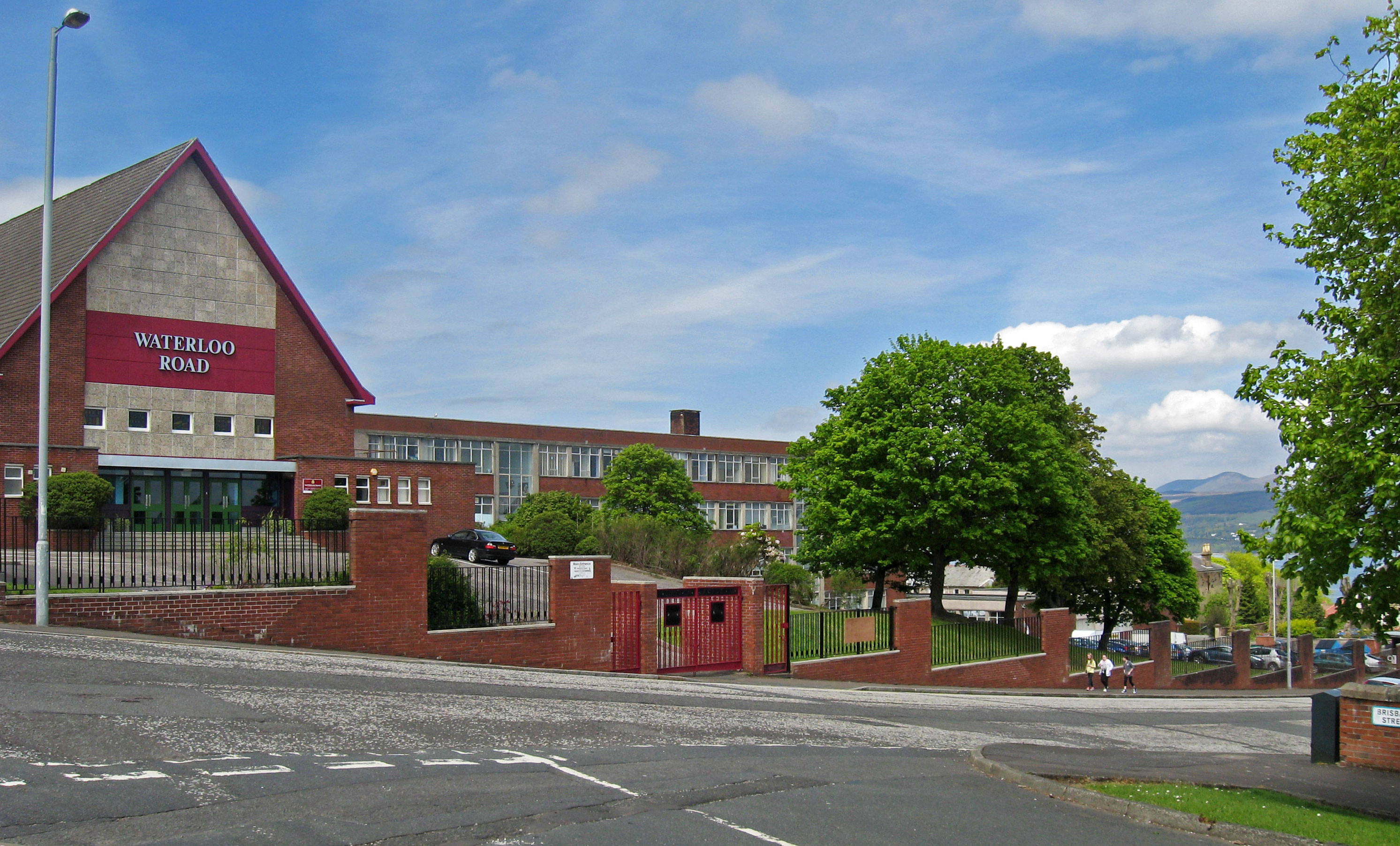
St Columba's High School, Gourock
St Columba's High School is a co-educational six-year Roman Catholic, comprehensive secondary school, located next to Tower Hill Gourock, Inverclyde, Scotland...

Clydeview Academy
Clydeview Academy is a non-denominational secondary school situated in Gourock, Inverclyde. It was founded in 2011 and opened to pupils on 17 August 2011...
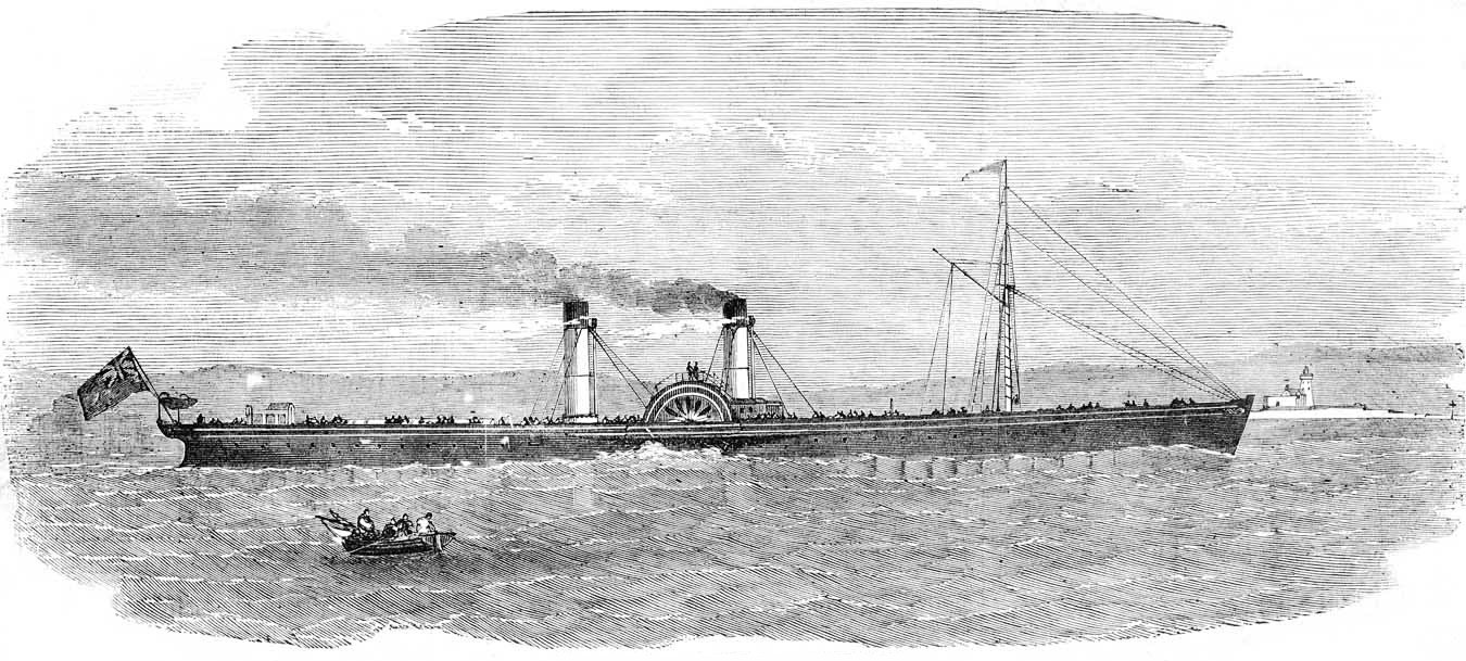
PS Iona (1855)
The Iona was Scottish-built paddle steamer, purchased by Confederate agents for use as a blockade runner during the American Civil War. Following a collision...
Greenock Academy
The Greenock Academy was a mixed non-denominational school in the west end of Greenock, Scotland, founded in 1855, originally independent, later a grammar...
Finnart
The lands of Finnart to the west of Greenock belonged to the Earl of Douglas in medieval times. Around 1455 they were forfeited to the crown. Finnart was...
Related Videos

Scotland Esplanade Walking Tour | We walk the Esplanade, Battery Park, and streets of Greenock.
Scotland Esplanade Walking Tour | Join us as we walk the Esplanade in Scotland and visit Battery Park, plus walking streets of ...

SWEET TREAT for SCOTTISH HIKING | SAFFRON RICE PUDDING
One of the benefits of living in Scotland is that I get to do a lot of hill-walking. I am sharing what a usual day of hiking for me looks ...

Lunderston Bay Play Park - Gourock Inverclyde
Lunderston Bay Playground, Gourock PA19 1BB. A new play park for families right next to the beach with toilets and lunch options ...
Nearby Amenities
Located within 500m of 55.959581,-4.794954Have you been to Fort Matilda?
Leave your review of Fort Matilda below (or comments, questions and feedback).