Lower Street
Settlement in Norfolk North Norfolk
England
Lower Street
The requested URL returned error: 429 Too Many Requests
If you have any feedback on the listing, please let us know in the comments section below.
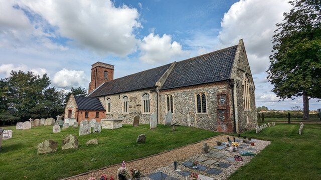
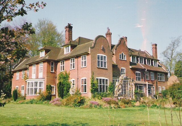
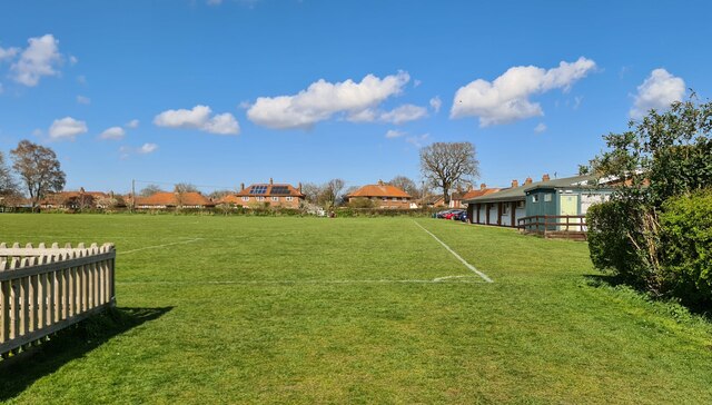
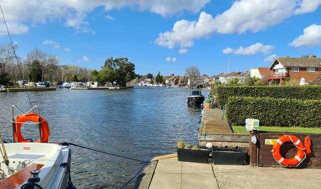
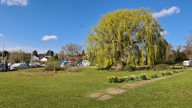
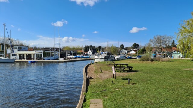
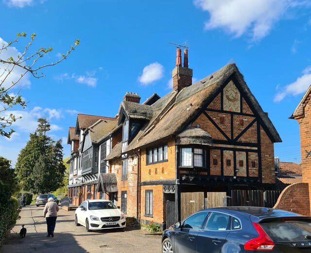
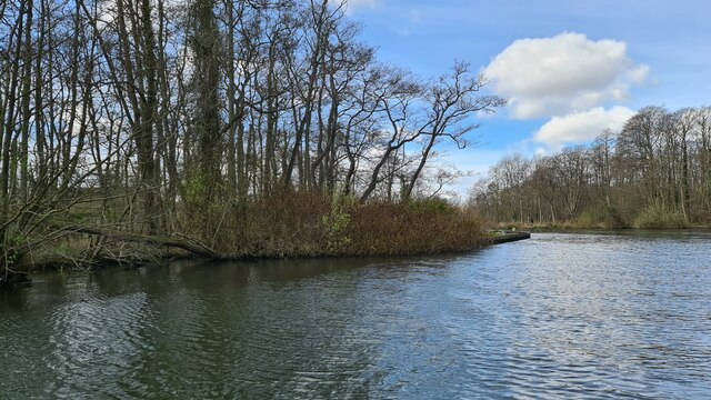
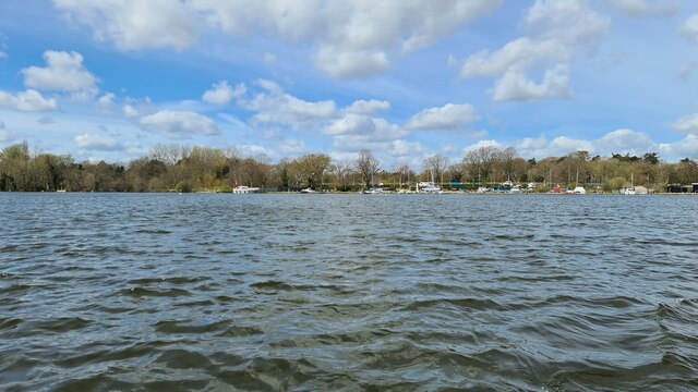
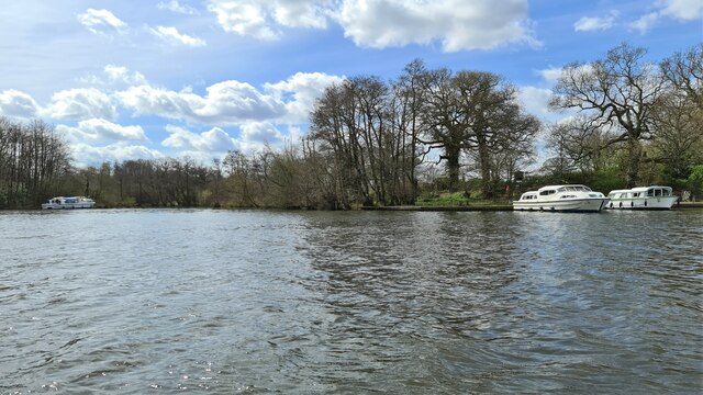
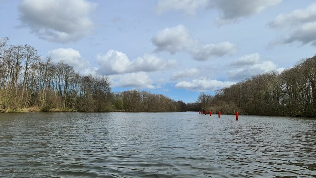
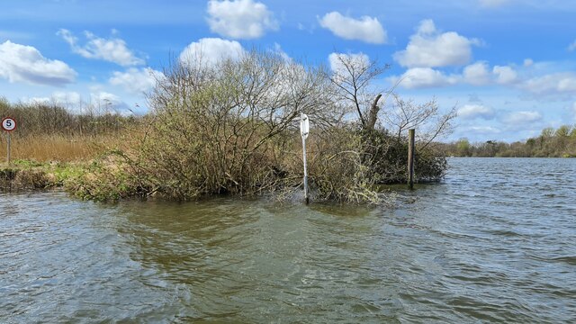
Lower Street Images
Images are sourced within 2km of 52.704667/1.4364046 or Grid Reference TG3217. Thanks to Geograph Open Source API. All images are credited.


Lower Street is located at Grid Ref: TG3217 (Lat: 52.704667, Lng: 1.4364046)
Administrative County: Norfolk
District: North Norfolk
Police Authority: Norfolk
What 3 Words
///partied.flip.statement. Near Horning, Norfolk
Nearby Locations
Related Wikis

Hoveton Little Broad
Hoveton Little Broad, also known as Black Horse Broad, is a secluded broad of fairly open aspect, in the middle reaches of the River Bure between Hoveton...
Bewilderwood
BeWILDerwood is an adventure park for families located in Horning, a parish in the English county of Norfolk. Self-described as a "curious treehouse adventure...
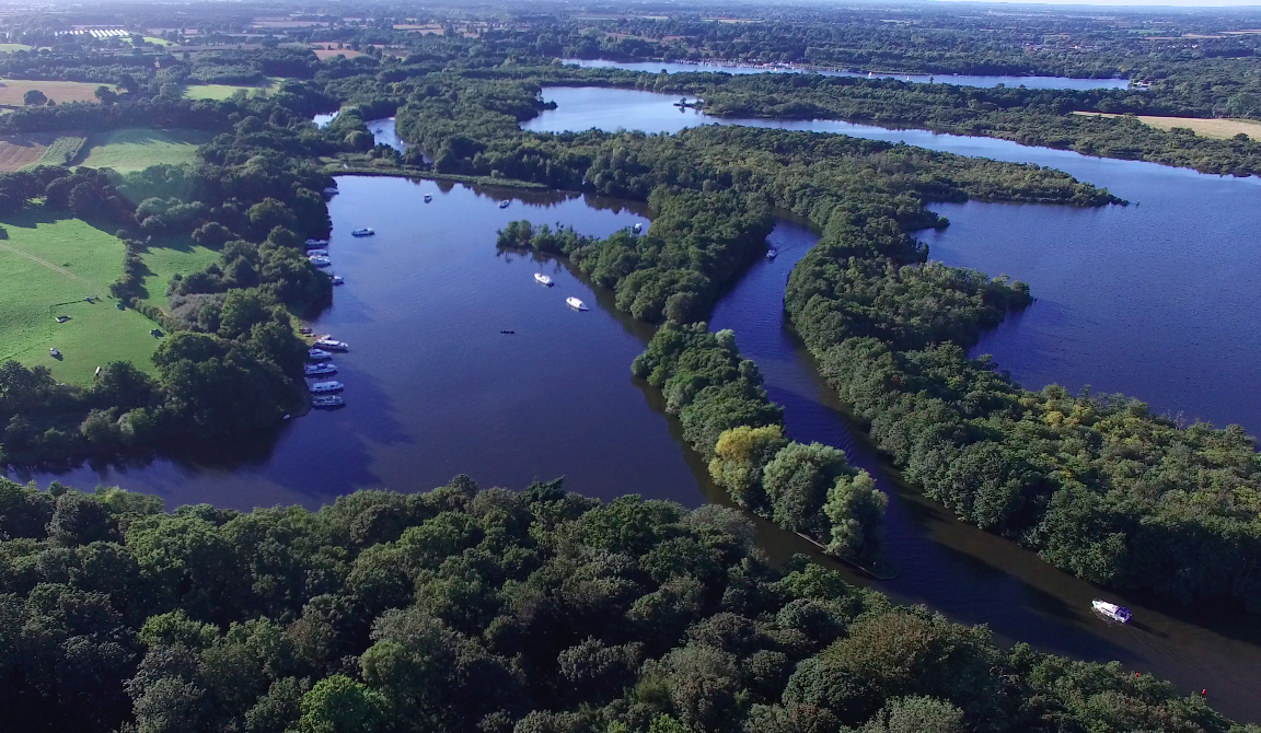
Hoveton Great Broad
Hoveton Great Broad lies within The Broads in Norfolk, England, between Wroxham Broad and Salhouse Broad. The broad is connected to the River Bure, but...

Woodbastwick Hall
Woodbastwick Hall is a country house at Woodbastwick in Norfolk. == History == The house dates back to circa 1600. In 1807 the house and estates were acquired...
Nearby Amenities
Located within 500m of 52.704667,1.4364046Have you been to Lower Street?
Leave your review of Lower Street below (or comments, questions and feedback).