Street, Upper
Settlement in Norfolk North Norfolk
England
Street, Upper

Street, Upper Norfolk is a charming residential neighborhood located in the heart of Norfolk, England. Nestled between the historic city center and the picturesque countryside, this area offers a perfect blend of tranquility and convenience.
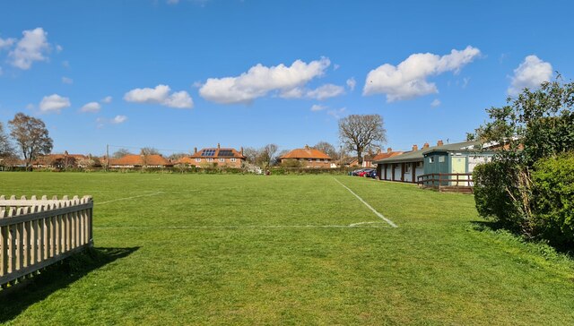
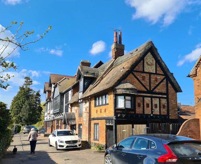
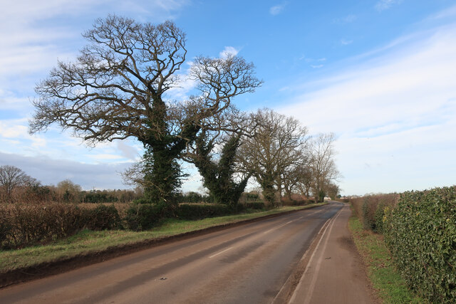
The architecture in Street, Upper Norfolk is a delightful mix of traditional and modern styles. Victorian-era houses with their distinctive brick façades stand side by side with contemporary townhouses. Lush green gardens and well-maintained parks add to the aesthetic appeal of the neighborhood, creating a peaceful atmosphere for residents and visitors alike.
The area boasts excellent amenities, making it an ideal place to live or visit. A range of local shops, supermarkets, and boutiques can be found on the nearby high street, offering a diverse selection of goods and services. Several renowned restaurants, cafes, and pubs are also within walking distance, providing culinary delights for all tastes.
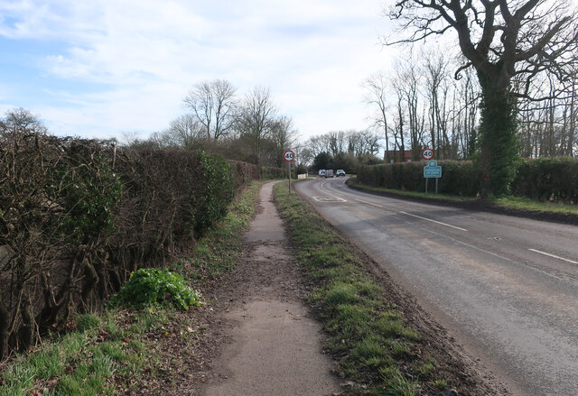
Street, Upper Norfolk benefits from its strategic location. It is well-connected to the rest of the city and beyond, thanks to its proximity to major transportation routes. The nearby bus and train stations provide easy access to neighboring towns and cities, making it a convenient base for commuters.
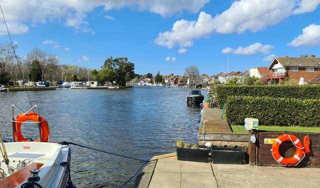
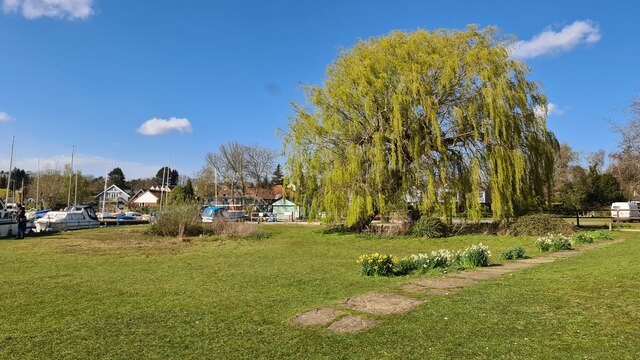
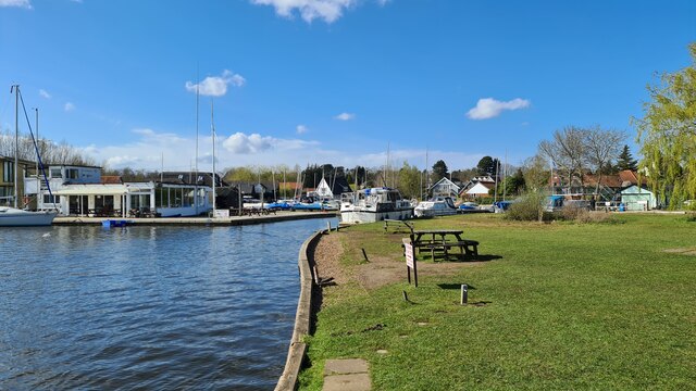
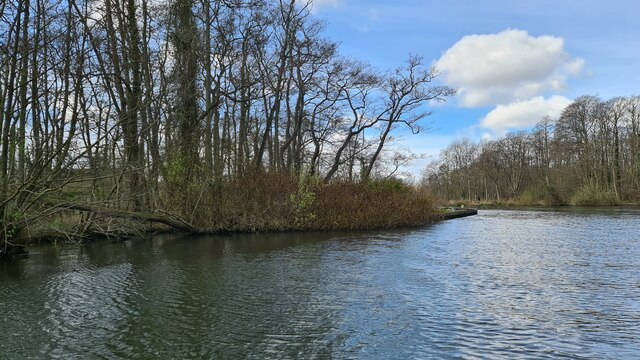
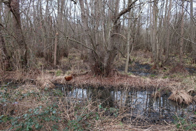
Nature enthusiasts will appreciate the natural beauty surrounding Street, Upper Norfolk. The neighborhood is bordered by stunning countryside, offering numerous opportunities for outdoor activities such as hiking, cycling, and picnicking. The scenic riverside walks along the nearby River Wensum are particularly popular among locals.
Overall, Street, Upper Norfolk presents an idyllic and well-connected residential neighborhood, combining historic charm with modern amenities and natural beauty.
If you have any feedback on the listing, please let us know in the comments section below.
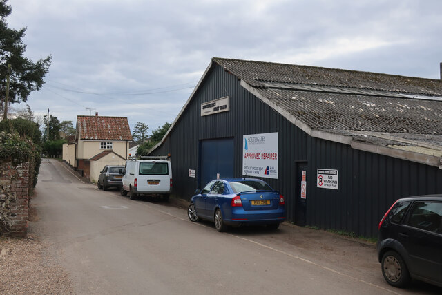
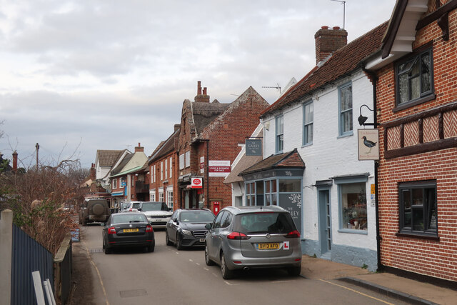
Street, Upper Images
Images are sourced within 2km of 52.707974/1.4448534 or Grid Reference TG3217. Thanks to Geograph Open Source API. All images are credited.


Street, Upper is located at Grid Ref: TG3217 (Lat: 52.707974, Lng: 1.4448534)
Administrative County: Norfolk
District: North Norfolk
Police Authority: Norfolk
What 3 Words
///asked.tamed.starters. Near Horning, Norfolk
Nearby Locations
Related Wikis

Hoveton Little Broad
Hoveton Little Broad, also known as Black Horse Broad, is a secluded broad of fairly open aspect, in the middle reaches of the River Bure between Hoveton...
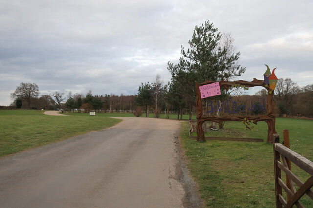
Bewilderwood
BeWILDerwood is an adventure park for families located in Horning, a parish in the English county of Norfolk. Self-described as a "curious treehouse adventure...

Bure Marshes National Nature Reserve
Bure Marshes National Nature Reserve (NNR) is maintained by English Nature in Norfolk, England, within The Broads National Park. It is mostly fen land...

Woodbastwick Hall
Woodbastwick Hall is a country house at Woodbastwick in Norfolk. == History == The house dates back to circa 1600. In 1807 the house and estates were acquired...

Horning
Horning is an ancient village and parish in the English county of Norfolk. It covers an area of 11 km2 and had a population of 1,033 in the 2001 census...
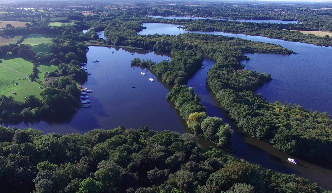
Hoveton Great Broad
Hoveton Great Broad lies within The Broads in Norfolk, England, between Wroxham Broad and Salhouse Broad. The broad is connected to the River Bure, but...
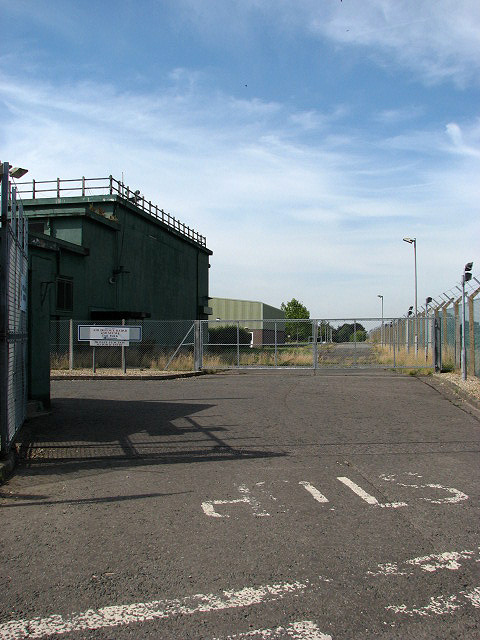
RAF Air Defence Radar Museum
The Royal Air Force Air Defence Radar Museum is a museum on the site of the former Royal Air Force radar and control base RAF Neatishead, close to the...
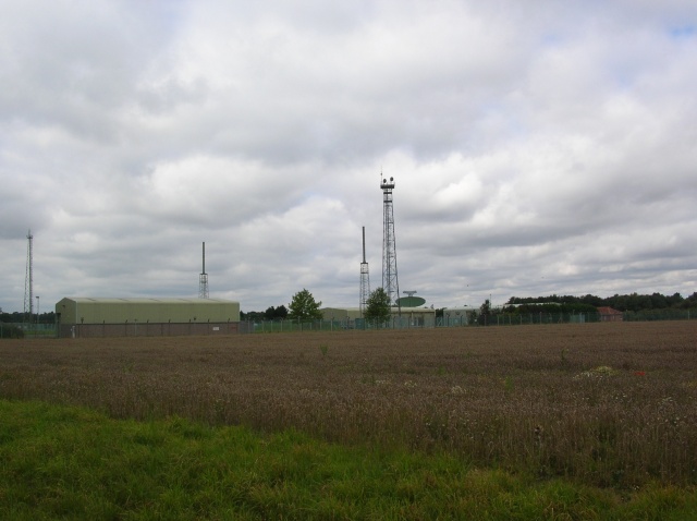
RAF Neatishead
Remote Radar Head Neatishead ( NEE-tis-hed), and commonly abbreviated RRH Neatishead, is an air defence radar site operated by the Royal Air Force (RAF...
Nearby Amenities
Located within 500m of 52.707974,1.4448534Have you been to Street, Upper?
Leave your review of Street, Upper below (or comments, questions and feedback).