Pound End

Lake, Pool, Pond, Freshwater Marsh in Norfolk North Norfolk

England

Pound End

Church of St John, Hoveton <span class="nowrap"><a title="https://historicengland.org.uk/listing/the-list/list-entry/1373437?section=official-list-entry" rel="nofollow ugc noopener" href="https://historicengland.org.uk/listing/the-list/list-entry/1373437?section=official-list-entry">Link</a><img style="margin-left:2px;" alt="External link" title="External link - shift click to open in new window" src="https://s1.geograph.org.uk/img/external.png" width="10" height="10"/></span>
Church of St John, Hoveton Credit: Sandy Gerrard

Pound End is a picturesque freshwater marsh located in Norfolk, England. Situated amidst the serene countryside, it is a haven for nature enthusiasts and a popular destination for birdwatching.

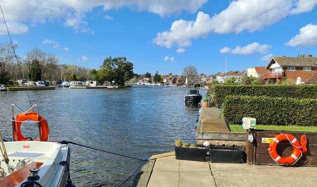
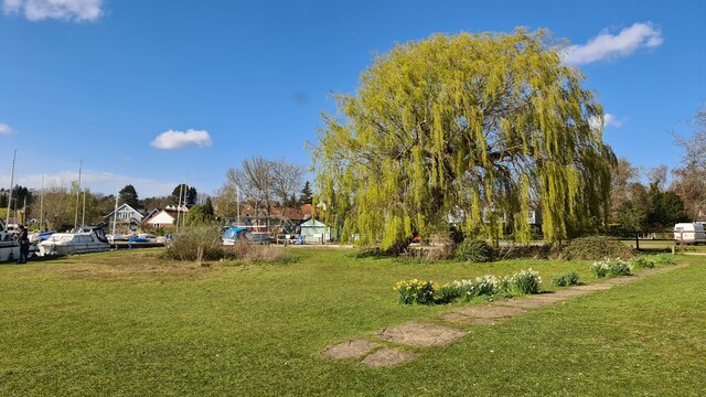
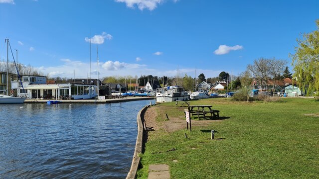
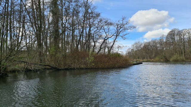
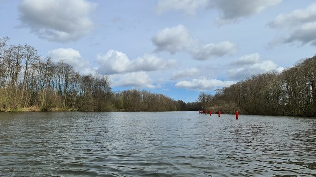
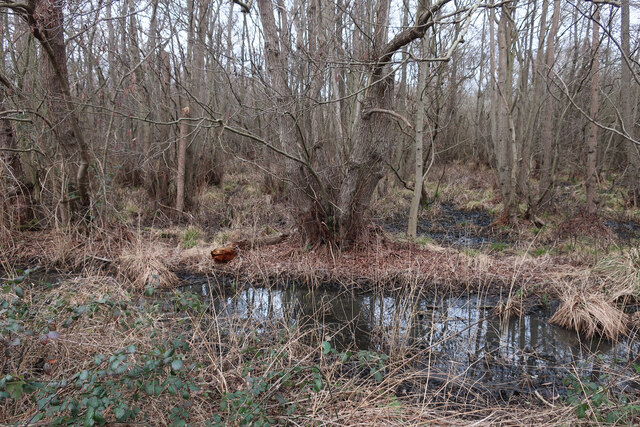
Covering an area of approximately 15 acres, Pound End is home to a diverse range of flora and fauna. The marsh is characterized by its tranquil atmosphere and beautiful water features, including a lake, pool, and pond. These bodies of water provide a habitat for various aquatic plants and animals, including water lilies, reeds, and frogs.

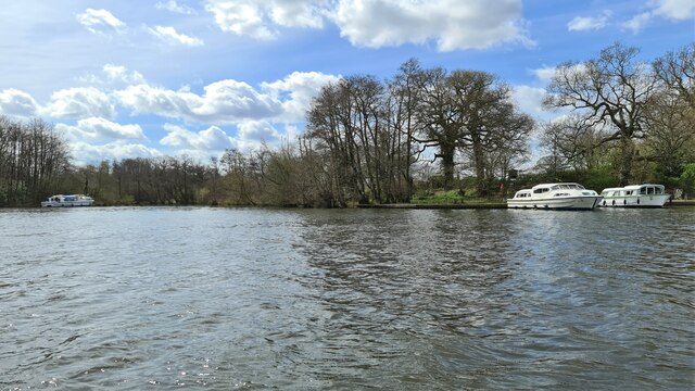
The lake at Pound End is a prominent feature, offering a serene and reflective surface that enhances the natural charm of the marsh. It is surrounded by dense vegetation, including willow trees, creating a picturesque setting that attracts a wide variety of bird species. Visitors can often spot graceful swans, ducks, herons, and kingfishers, adding to the allure of this natural sanctuary.

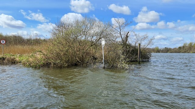
The pool and pond at Pound End provide additional habitats for both aquatic and terrestrial wildlife. These water bodies are lined with reeds and grasses, providing shelter and nesting sites for birds and insects. Dragonflies can often be seen darting around the water's edge, while butterflies flit between the wildflowers that bloom in abundance during the warmer months.

Pound End is a tranquil oasis where visitors can immerse themselves in the beauty of nature. Its diverse range of water features and the rich array of flora and fauna make it a must-visit destination for anyone seeking a peaceful retreat in the heart of Norfolk.

If you have any feedback on the listing, please let us know in the comments section below.
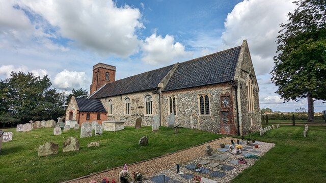
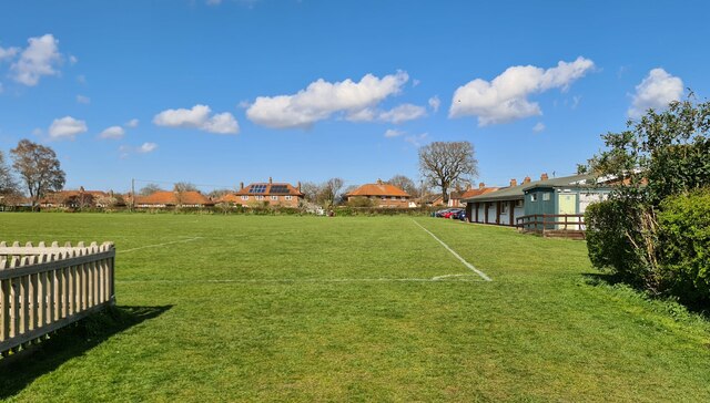
Pound End Images

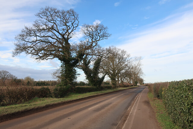
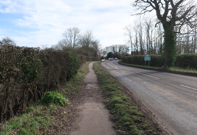
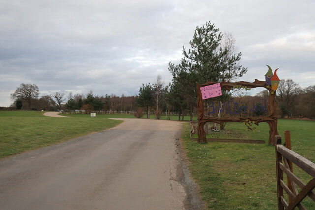
Images are sourced within 2km of 52.704532/1.443827 or Grid Reference TG3217. Thanks to Geograph Open Source API. All images are credited.

Church of St John, Hoveton <span class="nowrap"><a title="https://historicengland.org.uk/listing/the-list/list-entry/1373437?section=official-list-entry" rel="nofollow ugc noopener" href="https://historicengland.org.uk/listing/the-list/list-entry/1373437?section=official-list-entry">Link</a><img style="margin-left:2px;" alt="External link" title="External link - shift click to open in new window" src="https://s1.geograph.org.uk/img/external.png" width="10" height="10"/></span>
Church of St John, Hoveton
Horning Village Hall and Playground
River Bure at Horning
Horning by the Swan Inn
Horning Sailing Club and River Bure
The Swan Inn, Horning
River Bure below Wroxham
On Salhouse Broad
On Salhouse Broad
River Bure below Broom Hill
Emerging from Wroxham Broad
Yacht "Reed Bird" on River Bure near Horning, 1952 Position approximate from sun and wind direction. The yacht was hired for a week with a professional skipper Walter who is steering.
Yacht "Reed Bird" on River Bure near Horning, 1952
Position approximate from sun and wind direction. The yacht was hired for a week with a professional skipper Walter who is steering.
Cyclepath by A1062
Cyclepath by A1062
Track off A1062
Track off A1062
Cyclepath by A1062
Cyclepath by A1062
A1062 into Hoveton St John
Wet woodland by A1062
Entrance to Bewilderwood
Southgates Boatyard, Horning
Show me another place!

Pound End is located at Grid Ref: TG3217 (Lat: 52.704532, Lng: 1.443827)

Administrative County: Norfolk

District: North Norfolk

Police Authority: Norfolk

What 3 Words

///marker.sheds.bungalows. Near Horning, Norfolk

Related Wikis

Hoveton Little Broad

Hoveton Little Broad, also known as Black Horse Broad, is a secluded broad of fairly open aspect, in the middle reaches of the River Bure between Hoveton...

Bewilderwood

BeWILDerwood is an adventure park for families located in Horning, a parish in the English county of Norfolk. Self-described as a "curious treehouse adventure...

Bure Marshes National Nature Reserve

Bure Marshes National Nature Reserve (NNR) is maintained by English Nature in Norfolk, England, within The Broads National Park. It is mostly fen land...

Woodbastwick Hall

Woodbastwick Hall is a country house at Woodbastwick in Norfolk. == History == The house dates back to circa 1600. In 1807 the house and estates were acquired...

Nearby Amenities

Located within 500m of 52.704532,1.443827
Palmers Lane, adj
Naptan AtcoCode: 2900H5031
Naptan Bearing: E
Naptan BusStopType: CUS
Naptan CommonName: Palmers Lane
Naptan Indicator: adj
Naptan Locality: Hoveton
Naptan NaptanCode: nfogptaw
Naptan Street: Horning Road
Naptan Verified: no
Source: naptan_import
Lat/Long: 52.7080918/1.4451843
Palmers Lane, opp
Naptan AtcoCode: 2900H5032
Naptan Bearing: W
Naptan BusStopType: CUS
Naptan CommonName: Palmers Lane
Naptan Indicator: opp
Naptan Locality: Hoveton
Naptan NaptanCode: nfogptda
Naptan Street: Horning Road
Naptan Verified: no
Source: naptan_import
Lat/Long: 52.7079436/1.4447136
Post Box
Note: brick pillar is pointy
Post Box Mounting: brick_pillar
Post Box Type: wall
Lat/Long: 52.7079497/1.444992
Removed Amenity: telephone
Lat/Long: 52.7079448/1.4448927
Parking
Fee: no
Parking: layby
Lat/Long: 52.707908/1.4444779
Power: pole
Lat/Long: 52.7037696/1.4374629
Power: pole
Lat/Long: 52.7044823/1.4376131
Power: pole
Lat/Long: 52.7056386/1.437774
Power: pole
Lat/Long: 52.7068379/1.4379537
Bench
Backrest: yes
Lat/Long: 52.7080318/1.4448088
Bicycle Parking
Bicycle Parking: stands
Capacity: 2
Covered: no
Lat/Long: 52.7080191/1.4447793
The data included in this document is from www.openstreetmap.org. The data is made available under ODbL.

Have you been to Pound End?

Leave your review of Pound End below (or comments, questions and feedback).