Upper Street

Settlement in Norfolk North Norfolk

England

Upper Street

Church of St John, Hoveton <span class="nowrap"><a title="https://historicengland.org.uk/listing/the-list/list-entry/1373437?section=official-list-entry" rel="nofollow ugc noopener" href="https://historicengland.org.uk/listing/the-list/list-entry/1373437?section=official-list-entry">Link</a><img style="margin-left:2px;" alt="External link" title="External link - shift click to open in new window" src="https://s1.geograph.org.uk/img/external.png" width="10" height="10"/></span>
Church of St John, Hoveton Credit: Sandy Gerrard

Upper Street is a small village located in Norfolk, England. Situated in the eastern part of the county, it is nestled within the picturesque countryside, surrounded by rolling hills and expansive fields. The village is known for its quaint charm and peaceful atmosphere, making it an ideal destination for those seeking a tranquil retreat.

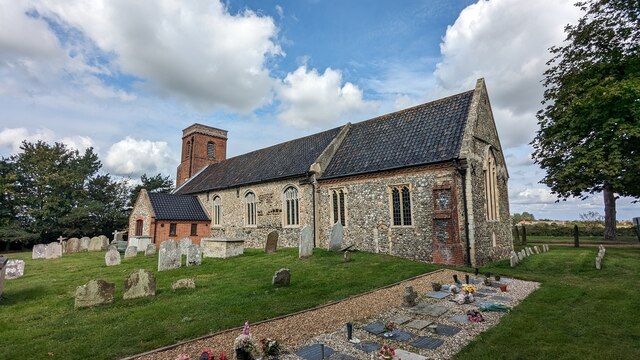
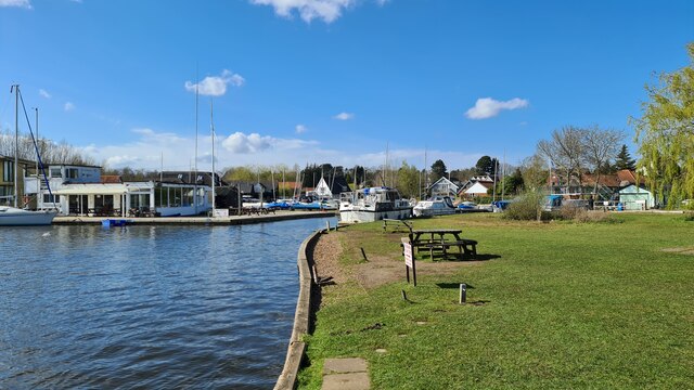
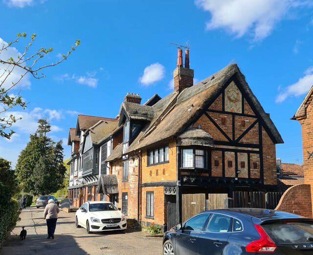
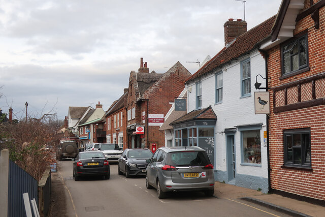
The heart of Upper Street is its charming village center, which is characterized by a collection of historic buildings and traditional English cottages. The area exudes a sense of timeless beauty, with its well-preserved architecture and cobblestone streets. The village also boasts a beautiful church, adding to its historical appeal.

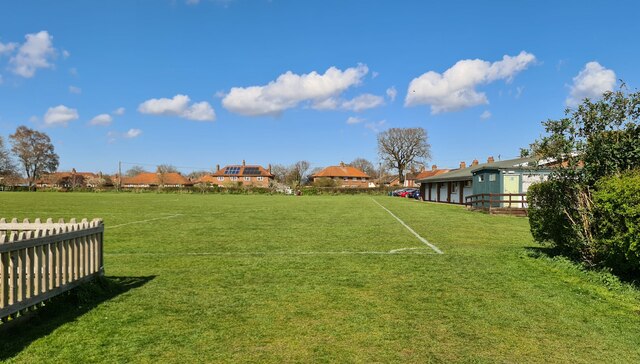
Despite its small size, Upper Street offers a range of amenities to its residents and visitors. There are a few local shops and businesses, including a cozy pub where locals gather to socialize and enjoy a pint. The village also has a primary school, providing education for the younger population.

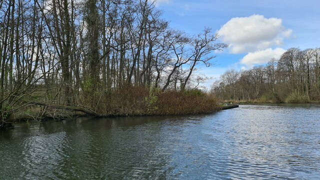
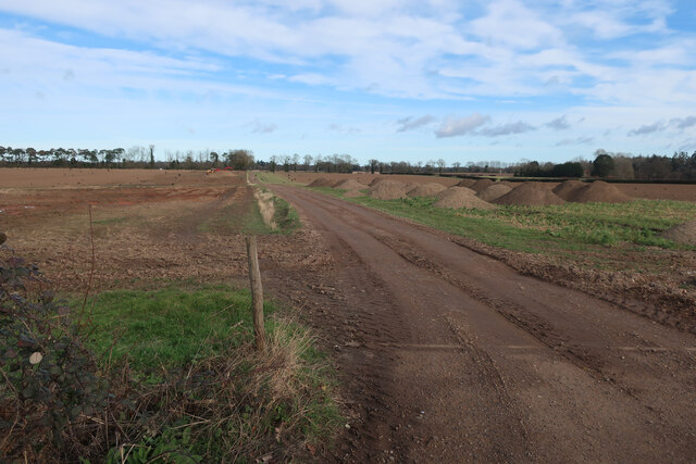
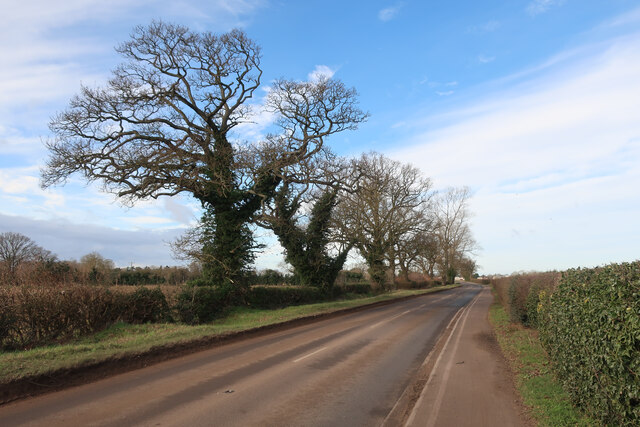
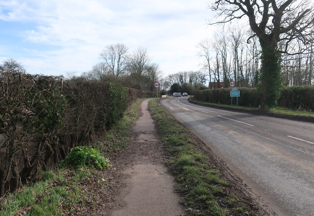
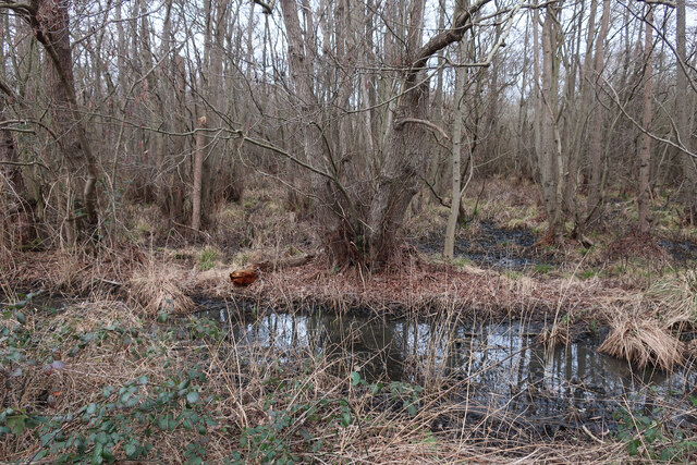
Surrounded by the natural beauty of the Norfolk countryside, Upper Street offers plenty of opportunities for outdoor activities. The village is close to several walking trails and nature reserves, allowing visitors to explore the stunning landscapes and observe the local wildlife.

In conclusion, Upper Street is a charming and serene village in Norfolk, offering a peaceful retreat for both residents and visitors. With its historical architecture, natural beauty, and friendly community, it is a delightful place to experience the quintessential English countryside.

If you have any feedback on the listing, please let us know in the comments section below.
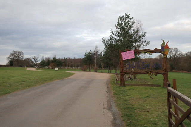
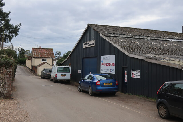
Upper Street Images

Images are sourced within 2km of 52.707974/1.4448534 or Grid Reference TG3217. Thanks to Geograph Open Source API. All images are credited.

Church of St John, Hoveton <span class="nowrap"><a title="https://historicengland.org.uk/listing/the-list/list-entry/1373437?section=official-list-entry" rel="nofollow ugc noopener" href="https://historicengland.org.uk/listing/the-list/list-entry/1373437?section=official-list-entry">Link</a><img style="margin-left:2px;" alt="External link" title="External link - shift click to open in new window" src="https://s1.geograph.org.uk/img/external.png" width="10" height="10"/></span>
Church of St John, Hoveton
Horning Village Hall and Playground
River Bure at Horning
Horning by the Swan Inn
Horning Sailing Club and River Bure
The Swan Inn, Horning
River Bure below Wroxham
Yacht "Reed Bird" on River Bure near Horning, 1952 Position approximate from sun and wind direction. The yacht was hired for a week with a professional skipper Walter who is steering.
Yacht "Reed Bird" on River Bure near Horning, 1952
Position approximate from sun and wind direction. The yacht was hired for a week with a professional skipper Walter who is steering.
Cyclepath by A1062
Cyclepath by A1062
Track off A1062
Track off A1062
Cyclepath by A1062
Cyclepath by A1062
A1062 into Hoveton St John
Wet woodland by A1062
Entrance to Bewilderwood
Southgates Boatyard, Horning
Lower Street, Horning
Wroxham Broad, Norfolk Taken from the River Bure which runs beside Wroxham Broad.
This notice gives information on moorings and fishing permits.
Wroxham Broad, Norfolk
Taken from the River Bure which runs beside Wroxham Broad. This notice gives information on moorings and fishing permits.
Horning Sailing Club
Show me another place!

Upper Street is located at Grid Ref: TG3217 (Lat: 52.707974, Lng: 1.4448534)

Administrative County: Norfolk

District: North Norfolk

Police Authority: Norfolk

What 3 Words

///asked.tamed.starters. Near Horning, Norfolk

Related Wikis

Hoveton Little Broad

Hoveton Little Broad, also known as Black Horse Broad, is a secluded broad of fairly open aspect, in the middle reaches of the River Bure between Hoveton...

Bewilderwood

BeWILDerwood is an adventure park for families located in Horning, a parish in the English county of Norfolk. Self-described as a "curious treehouse adventure...

Bure Marshes National Nature Reserve

Bure Marshes National Nature Reserve (NNR) is maintained by English Nature in Norfolk, England, within The Broads National Park. It is mostly fen land...

Woodbastwick Hall

Woodbastwick Hall is a country house at Woodbastwick in Norfolk. == History == The house dates back to circa 1600. In 1807 the house and estates were acquired...

Nearby Amenities

Located within 500m of 52.707974,1.4448534
Palmers Lane, adj
Naptan AtcoCode: 2900H5031
Naptan Bearing: E
Naptan BusStopType: CUS
Naptan CommonName: Palmers Lane
Naptan Indicator: adj
Naptan Locality: Hoveton
Naptan NaptanCode: nfogptaw
Naptan Street: Horning Road
Naptan Verified: no
Source: naptan_import
Lat/Long: 52.7080918/1.4451843
Palmers Lane, opp
Naptan AtcoCode: 2900H5032
Naptan Bearing: W
Naptan BusStopType: CUS
Naptan CommonName: Palmers Lane
Naptan Indicator: opp
Naptan Locality: Hoveton
Naptan NaptanCode: nfogptda
Naptan Street: Horning Road
Naptan Verified: no
Source: naptan_import
Lat/Long: 52.7079436/1.4447136
BeWILDerwood
Addr City: Hoveton
Addr Country: GB
Addr Postcode: NR12 8JW
Addr Street: Horning Road
Email: explore@BeWILDerwood.co.uk
Phone: +44 1692 633033
Tourism: theme_park
Website: https://www.bewilderwood.co.uk/
Wikidata: Q4899748
Lat/Long: 52.710938/1.4503087
Bus Stop
Lat/Long: 52.7088678/1.4508553
Post Box
Note: brick pillar is pointy
Post Box Mounting: brick_pillar
Post Box Type: wall
Lat/Long: 52.7079497/1.444992
Removed Amenity: telephone
Lat/Long: 52.7079448/1.4448927
Bus Stop
Lat/Long: 52.7086923/1.4503778
Parking
Fee: no
Parking: layby
Lat/Long: 52.707908/1.4444779
Barrier: kissing_gate
Foot: yes
Lat/Long: 52.7089993/1.4516674
Welcome to Hoveton St John
Colour: blue
Inscription: Please drive with care
Material: metal
Traffic Sign: city_limit
Lat/Long: 52.7084525/1.4391178
Power: pole
Lat/Long: 52.7068379/1.4379537
Power: pole
Lat/Long: 52.7080178/1.438112
Power: pole
Lat/Long: 52.7091586/1.4424813
Power: pole
Lat/Long: 52.7091781/1.4438036
Power: pole
Lat/Long: 52.7091683/1.4411563
Power: pole
Lat/Long: 52.7091683/1.4397025
Power: pole
Lat/Long: 52.7084842/1.4381482
Power: pole
Lat/Long: 52.7091862/1.4382702
Power: pole
Lat/Long: 52.7090968/1.4382675
Give Way
Lat/Long: 52.7086874/1.4381524
Power: transformer
Lat/Long: 52.7085576/1.4382411
Bench
Backrest: yes
Lat/Long: 52.7080318/1.4448088
Bicycle Parking
Bicycle Parking: stands
Capacity: 2
Covered: no
Lat/Long: 52.7080191/1.4447793
The data included in this document is from www.openstreetmap.org. The data is made available under ODbL.

Have you been to Upper Street?

Leave your review of Upper Street below (or comments, questions and feedback).