Lower Strode
Settlement in Somerset
England
Lower Strode
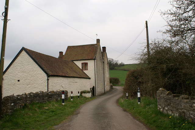
Lower Strode is a small village located in the county of Somerset, England. Situated just a few miles south of the town of Street, it lies within the picturesque Mendip Hills. The village is primarily residential, characterized by its charming cottages and traditional architecture.
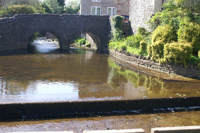
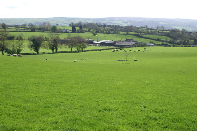
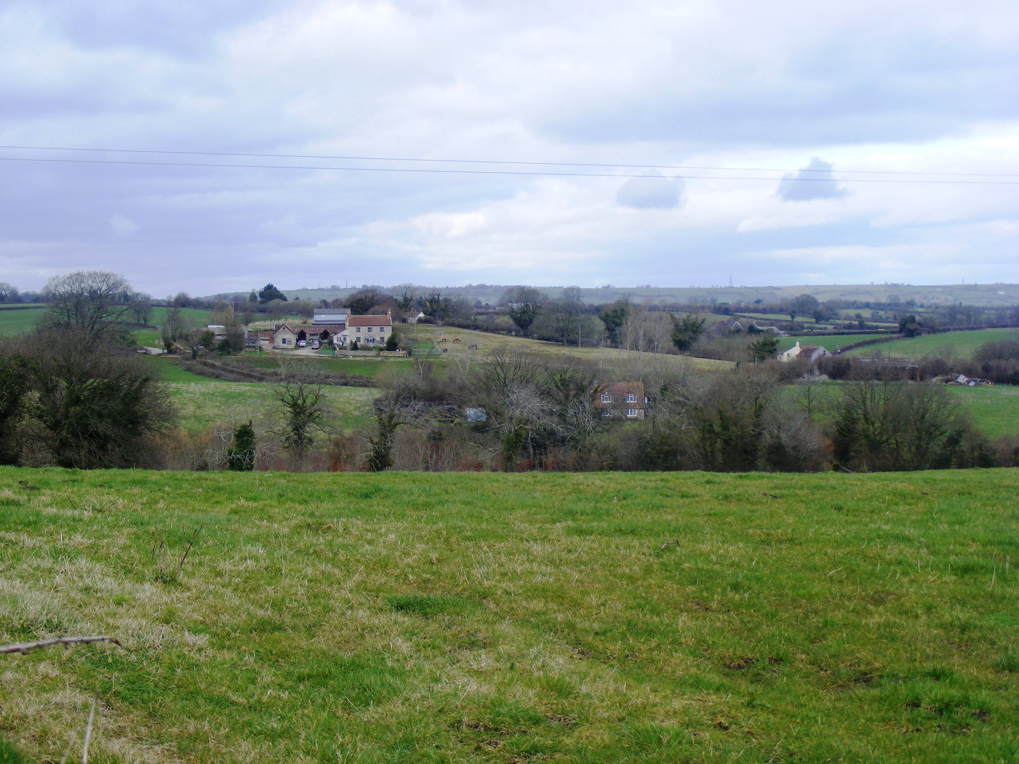
Surrounded by lush green countryside, Lower Strode offers a tranquil and idyllic setting. The area is known for its natural beauty, with rolling hills, meandering streams, and expansive fields providing a stunning backdrop. The village is particularly popular among nature enthusiasts, offering ample opportunities for walking, hiking, and exploring the countryside.
Despite its small size, Lower Strode boasts a strong sense of community. The village is home to a range of local amenities, including a small convenience store, a post office, and a village hall where various community events and gatherings take place throughout the year. The village also has a primary school, providing education for the local children.
For those seeking cultural and historical experiences, Lower Strode is conveniently located near several notable attractions. The nearby town of Street is famous for being the birthplace of Clarks shoes, and visitors can explore the Clarks Village outlet shopping center. Additionally, the bustling city of Wells, with its magnificent cathedral and historic market square, is just a short drive away.
Overall, Lower Strode offers a peaceful and picturesque countryside living, with a close-knit community and easy access to both natural beauty and cultural attractions.
If you have any feedback on the listing, please let us know in the comments section below.
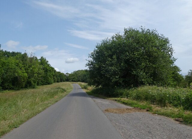
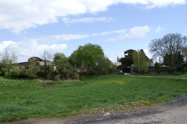
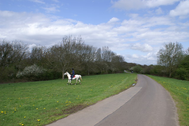
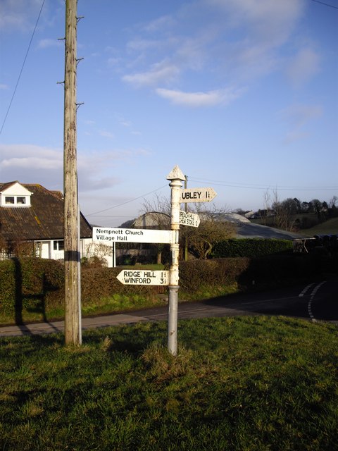
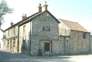
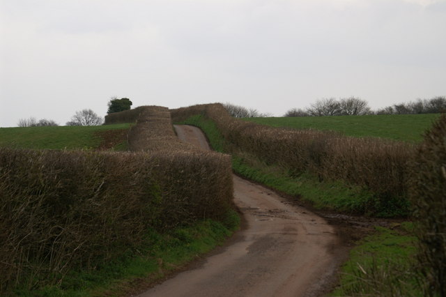
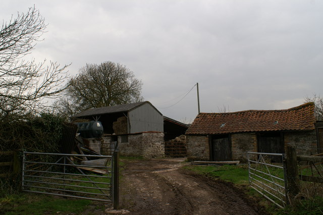
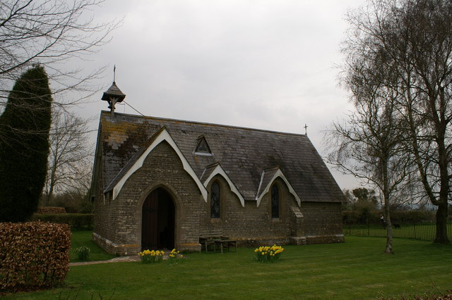
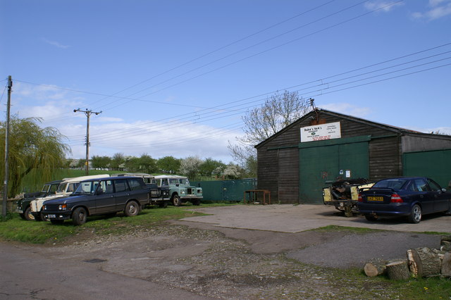
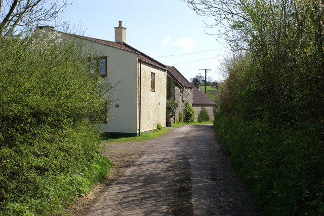
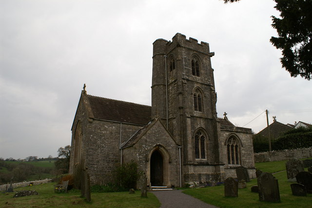
Lower Strode Images
Images are sourced within 2km of 51.351093/-2.661693 or Grid Reference ST5461. Thanks to Geograph Open Source API. All images are credited.
Lower Strode is located at Grid Ref: ST5461 (Lat: 51.351093, Lng: -2.661693)
Unitary Authority: North Somerset
Police Authority: Avon and Somerset
What 3 Words
///unleashed.districts.joints. Near Butcombe, Somerset
Nearby Locations
Related Wikis
Plaster's Green Meadows
Plaster's Green Meadows (grid reference ST532611) is a 4.3 hectare biological Site of Special Scientific Interest near the village of Nempnett Thrubwell...

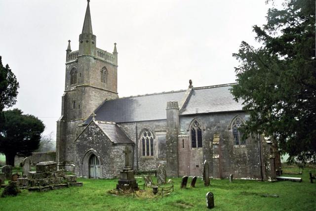
Church of St Mary, Nempnett Thrubwell
The Anglican Church of St Mary stands on Knap Hill in Nempnett Thrubwell, Somerset, England dates from the 15th century, but was built on the site of an...

Chew Stoke
Chew Stoke is a small village and civil parish in the affluent Chew Valley, in Somerset, England, about 8 miles (13 km) south of Bristol and 10 miles north...

The Rectory, Chew Stoke
The Rectory in Chew Stoke, Somerset, England was built in 1529. It is a Grade II* listed building.It was built in 1529 for Sir John Barry, who was the...
Nempnett Thrubwell
Nempnett Thrubwell is a small village and civil parish in dairying country on the western edge of Bath and North East Somerset, in the county of Somerset...

Fairy Toot
The Fairy Toot is an extensive oval barrow in the civil parish of Nempnett Thrubwell, Somerset, England (grid reference ST520618). It is an example of...

Pagans Hill Roman temple
The Pagans Hill Roman Temple was a Romano-British-style temple (Romano-Celtic temple) excavated on Pagans Hill at Chew Stoke in the English county of Somerset...
Butcombe
Butcombe is a village and civil parish in Somerset, England. The village is situated just north of Blagdon Lake, in North Somerset. The parish has a population...
Related Videos

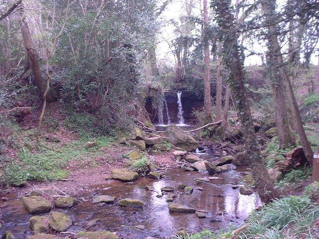
Chew Valley People - Ben and Sarah Poppy take baby Maya to Chew Stoke waterfall.
On a beautiful April day you are invited to share a special moment with this wonderful young couple as they take their baby girl to ...

Tyrant Expresses Himself At Security Feelings Of Most English People
Thanks for watching the video. If you really enjoyed it then hit the LIKE button, COMMENT your suggestions, SHARE it with your ...

Chew Stoke Harvest Home 2021
Chew Stoke has had a proud tradition of holding a Harvest Home for many decades. The sun shone so that everybody could ...

2.5 Million Winford Manor Being Kitted Out To House Migrants
Thanks for watching the video. If you really enjoyed it then hit the LIKE button, COMMENT your suggestions, SHARE it with your ...
Nearby Amenities
Located within 500m of 51.351093,-2.661693Have you been to Lower Strode?
Leave your review of Lower Strode below (or comments, questions and feedback).