The Knoll
Hill, Mountain in Somerset
England
The Knoll
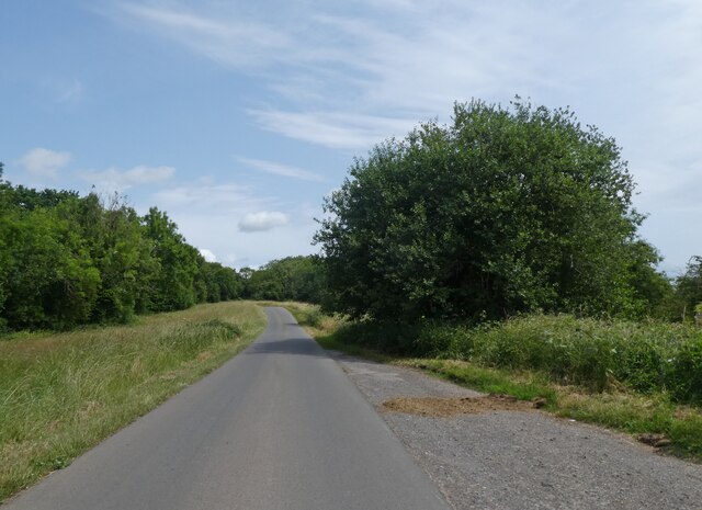
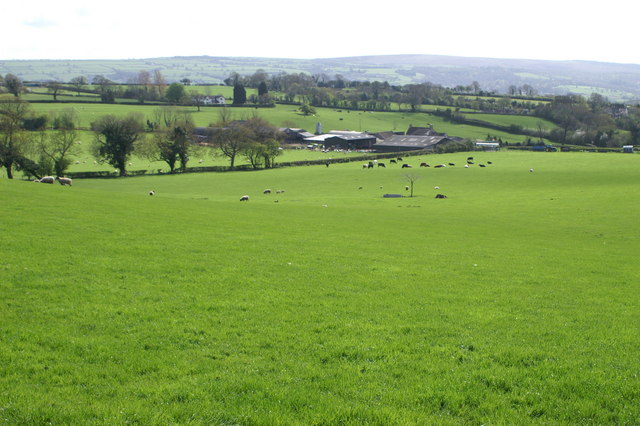
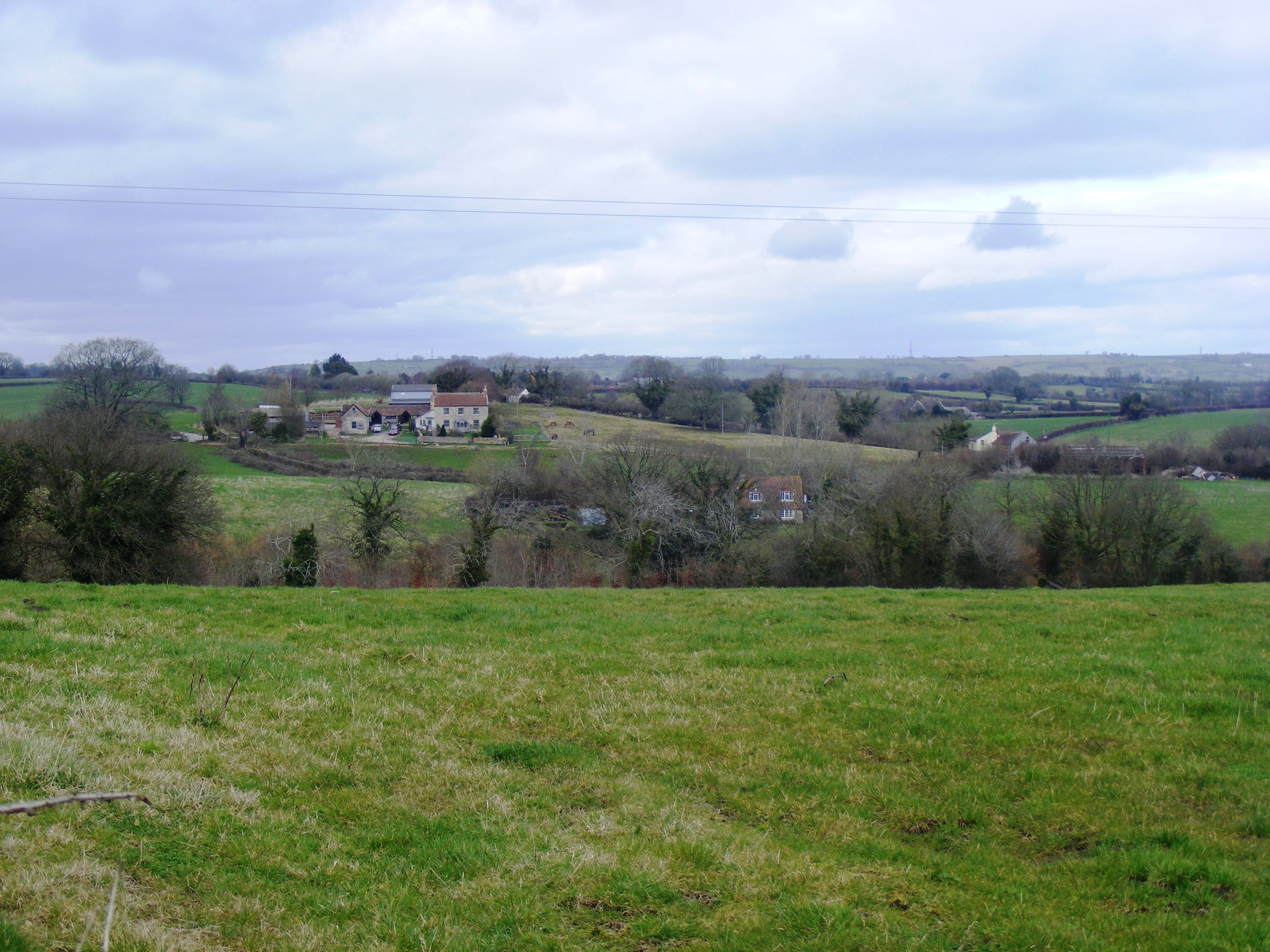
The Knoll is a prominent hill located in Somerset, England. Rising 400 meters above sea level, it is considered one of the highest points in the county. Situated near the town of Minehead, The Knoll offers breathtaking panoramic views of the surrounding countryside, making it a popular destination for locals and tourists alike.
The hill is characterized by its distinctive conical shape, which is a result of its geological formation. Composed primarily of sandstone, The Knoll features steep slopes and a pointed summit, creating a visually striking landmark visible from miles away. Its unique topography has also made it an ideal spot for outdoor activities such as hiking and rock climbing.
The Knoll is home to a diverse range of flora and fauna, contributing to its ecological significance. The hill supports a variety of plant species, including heather, gorse, and bracken, which create a vibrant tapestry of colors throughout the year. Numerous animal species can be found here as well, including rabbits, foxes, and various bird species.
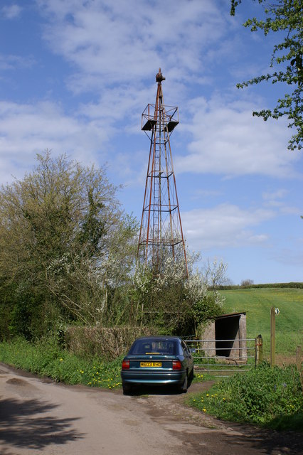
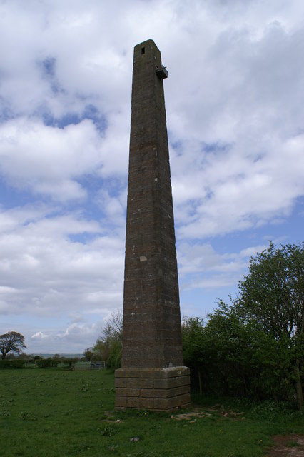
Historically, The Knoll has played a significant role in the local community. It has been used for centuries as a point of reference for navigation and has even been associated with folklore and legends. The hill has also witnessed various human activities, from ancient settlements to more recent agricultural practices.
Overall, The Knoll in Somerset is a captivating natural feature that combines stunning scenery, biodiversity, and cultural heritage. Whether exploring its trails or simply enjoying its breathtaking views, visitors to The Knoll can immerse themselves in the natural beauty and rich history of this remarkable hill.
If you have any feedback on the listing, please let us know in the comments section below.
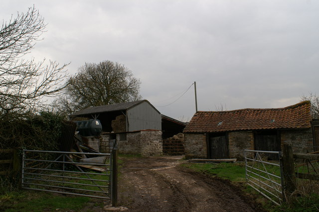
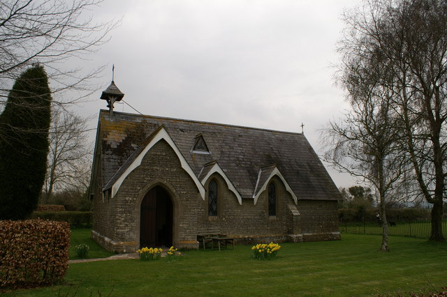
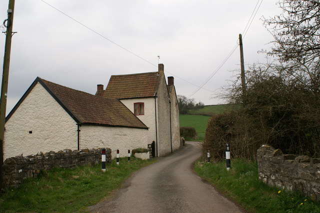
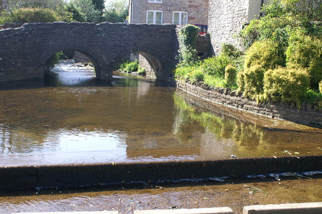
The Knoll Images
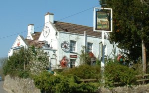
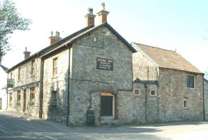
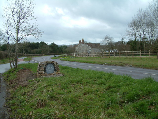
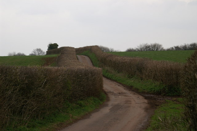
Images are sourced within 2km of 51.353741/-2.6592037 or Grid Reference ST5461. Thanks to Geograph Open Source API. All images are credited.
The Knoll is located at Grid Ref: ST5461 (Lat: 51.353741, Lng: -2.6592037)
Unitary Authority: North Somerset
Police Authority: Avon and Somerset
What 3 Words
///remaining.lower.leotard. Near Butcombe, Somerset
Nearby Locations
Related Wikis
Plaster's Green Meadows
Plaster's Green Meadows (grid reference ST532611) is a 4.3 hectare biological Site of Special Scientific Interest near the village of Nempnett Thrubwell...

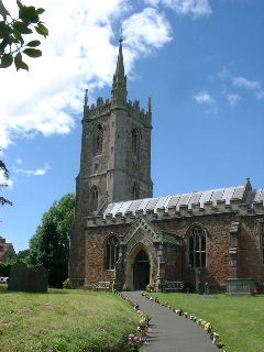
Chew Stoke
Chew Stoke is a small village and civil parish in the affluent Chew Valley, in Somerset, England, about 8 miles (13 km) south of Bristol and 10 miles north...

The Rectory, Chew Stoke
The Rectory in Chew Stoke, Somerset, England was built in 1529. It is a Grade II* listed building.It was built in 1529 for Sir John Barry, who was the...

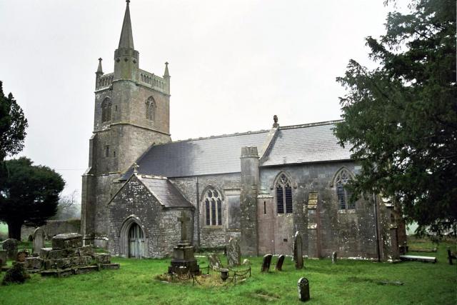
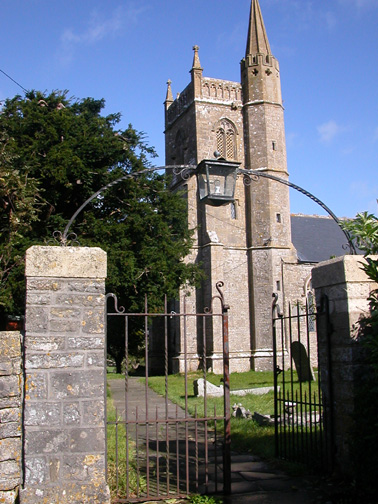
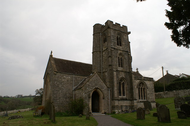
Church of St Mary, Nempnett Thrubwell
The Anglican Church of St Mary stands on Knap Hill in Nempnett Thrubwell, Somerset, England dates from the 15th century, but was built on the site of an...

Pagans Hill Roman temple
The Pagans Hill Roman Temple was a Romano-British-style temple (Romano-Celtic temple) excavated on Pagans Hill at Chew Stoke in the English county of Somerset...

Fairy Toot
The Fairy Toot is an extensive oval barrow in the civil parish of Nempnett Thrubwell, Somerset, England (grid reference ST520618). It is an example of...
Nempnett Thrubwell
Nempnett Thrubwell is a small village and civil parish in dairying country on the western edge of Bath and North East Somerset, in the county of Somerset...
Butcombe
Butcombe is a village and civil parish in Somerset, England. The village is situated just north of Blagdon Lake, in North Somerset. The parish has a population...
Nearby Amenities
Located within 500m of 51.353741,-2.6592037Have you been to The Knoll?
Leave your review of The Knoll below (or comments, questions and feedback).