Peacock Hill
Hill, Mountain in Lancashire Wyre
England
Peacock Hill
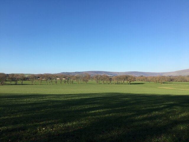
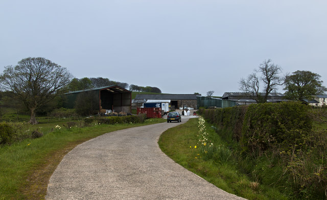
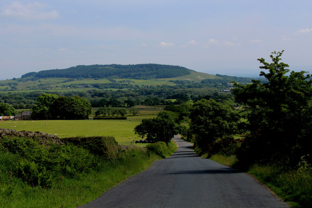
Peacock Hill is a prominent hill located in the county of Lancashire, England. Situated in the beautiful countryside near the village of Chipping, it forms part of the scenic Forest of Bowland Area of Outstanding Natural Beauty.
Rising to an elevation of approximately 335 meters (1,100 feet), Peacock Hill offers stunning panoramic views of the surrounding landscape. Its location provides visitors with an opportunity to witness the breathtaking beauty of the Ribble Valley, as well as the nearby Bowland Fells and Pendle Hill. On a clear day, the views stretch as far as the Irish Sea and the Lake District.
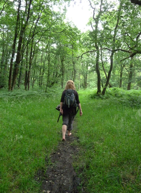
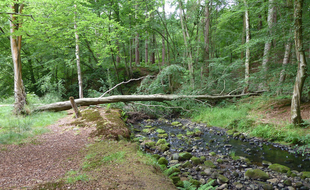
The hill itself is characterized by its gentle slopes and lush green meadows, which are home to a variety of wildlife and plant species. It is a popular destination for hikers, nature enthusiasts, and photographers, who are drawn to its tranquil and unspoiled environment.
Peacock Hill is also known for its historical significance. In the past, it served as a beacon site, playing a crucial role in communication during times of conflict. Today, remnants of the beacon can still be seen at the summit, reminding visitors of its past importance.
Access to Peacock Hill is relatively easy, with several footpaths and trails leading to the top. These paths are well-maintained and offer a range of difficulty levels, catering to both casual walkers and experienced hikers.
Overall, Peacock Hill in Lancashire is a captivating natural landmark that showcases the picturesque beauty of the region. Its stunning views, rich history, and tranquil atmosphere make it a must-visit destination for those seeking a peaceful escape in the heart of the English countryside.
If you have any feedback on the listing, please let us know in the comments section below.
Peacock Hill Images
Images are sourced within 2km of 53.899439/-2.6984081 or Grid Reference SD5445. Thanks to Geograph Open Source API. All images are credited.


Peacock Hill is located at Grid Ref: SD5445 (Lat: 53.899439, Lng: -2.6984081)
Administrative County: Lancashire
District: Wyre
Police Authority: Lancashire
What 3 Words
///beak.stormed.impulsive. Near Catterall, Lancashire
Nearby Locations
Related Wikis
Calder Vale
Calder Vale is an English village, located on the edge of the Forest of Bowland in Lancashire. It lies on the River Calder in a deep valley with only...

Barnacre-with-Bonds
Barnacre-with-Bonds is a civil parish in the Wyre district of Lancashire, England. According to the 2001 census it had a population of 1,751 increasing...
Oakenclough
Oakenclough () is an English hamlet located on the edge of the Forest of Bowland in Lancashire. Oakenclough is a small and scattered community, which appears...

Claughton, Wyre
Claughton ( KLY-tən) is a sparse village and civil parish in the county of Lancashire in the north of England, in the Borough of Wyre. The population of...

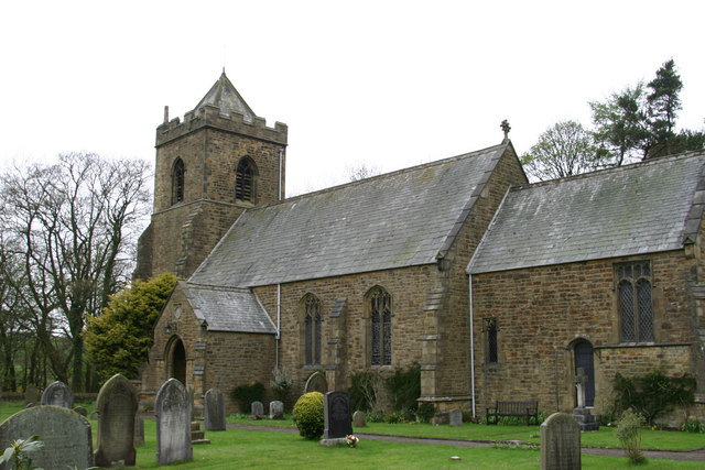
All Saints Church, Barnacre
All Saints Church is in Delph Lane, Barnacre-with-Bonds, Lancashire, England. It is an active Anglican parish church in the deanery of Garstang, the archdeaconry...

Bleasdale
Bleasdale is a village and civil parish in the Wyre district of Lancashire, England, in the Forest of Bowland Area of Outstanding Natural Beauty. The two...
Beacon Fell, Lancashire
Beacon Fell is a fell in the civil parish of Goosnargh in Lancashire, England. The high ground, which rises to 266 m (873 ft), has been a country park...

Garstang and Catterall railway station
Garstang and Catterall railway station served as the interchange between the Garstang and Knot-End Railway and the London and North Western Railway, in...
Nearby Amenities
Located within 500m of 53.899439,-2.6984081Have you been to Peacock Hill?
Leave your review of Peacock Hill below (or comments, questions and feedback).