Farleton Fell
Hill, Mountain in Westmorland South Lakeland
England
Farleton Fell
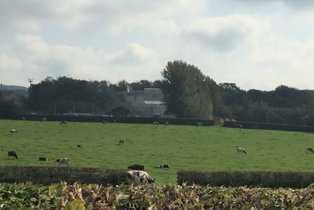
Farleton Fell is a prominent limestone hill located in the Westmorland region of Cumbria, England. Standing at an elevation of approximately 1,000 feet, it is considered more of a hill than a mountain. Offering stunning panoramic views of the surrounding countryside, it is a popular destination for hikers, walkers, and nature enthusiasts.
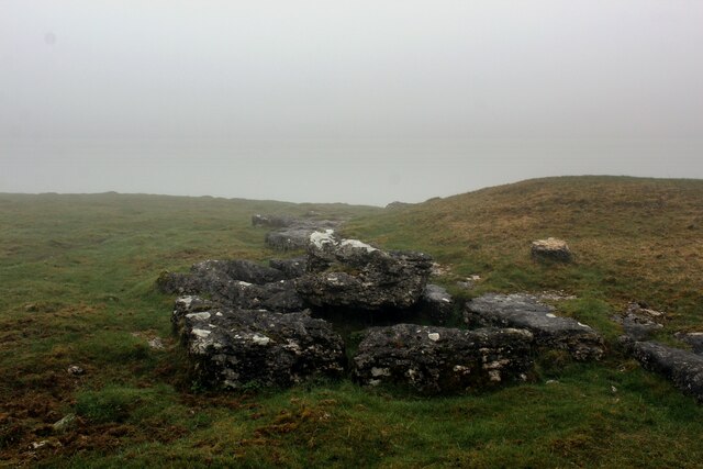
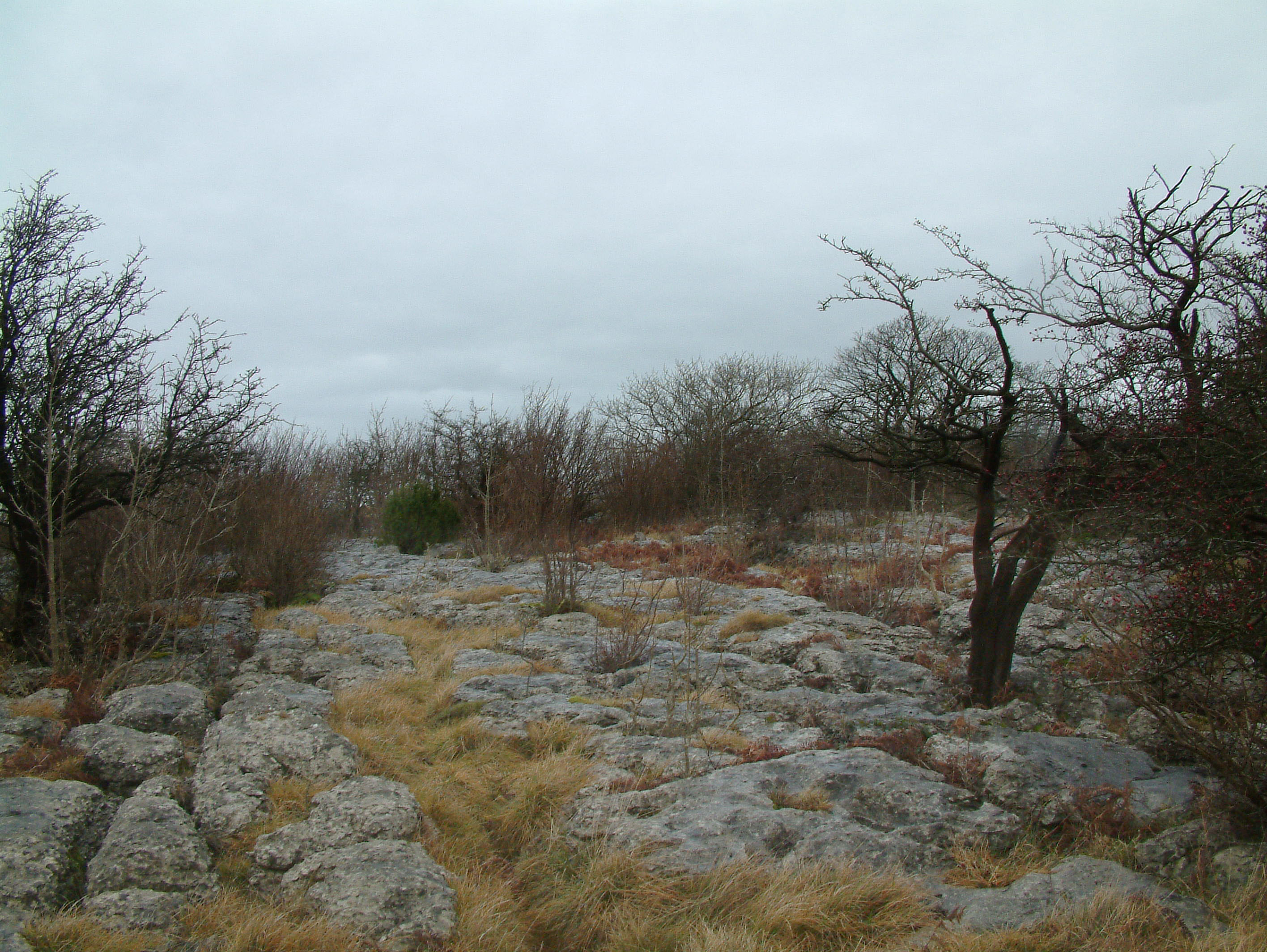
The fell is characterized by its unique limestone pavement, a distinctive feature formed over thousands of years of erosion. This rugged terrain comprises limestone blocks separated by deep fissures, creating an otherworldly landscape reminiscent of a giant jigsaw puzzle. The limestone pavement is home to a variety of rare plant species, including the nationally scarce early purple orchid.
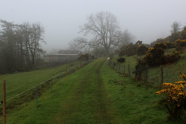
Farleton Fell is easily accessible, with a well-maintained footpath leading to the summit. The walk is moderate in difficulty, making it suitable for individuals of varying fitness levels. Along the route, visitors can enjoy breathtaking views of the surrounding Howgill Fells, the Lune Valley, and the distant Lake District.
The fell is also renowned for its wildlife, with numerous bird species, including peregrine falcons and ravens, often spotted soaring overhead. The area is also home to a diverse range of flora and fauna, including wildflowers such as bluebells and cowslips.
Farleton Fell is a peaceful and tranquil spot, perfect for those seeking solitude in nature. With its captivating landscapes, rich biodiversity, and easy accessibility, it is no wonder that Farleton Fell attracts both locals and tourists alike, all year round.
If you have any feedback on the listing, please let us know in the comments section below.
Farleton Fell Images
Images are sourced within 2km of 54.215579/-2.7039788 or Grid Reference SD5480. Thanks to Geograph Open Source API. All images are credited.


Farleton Fell is located at Grid Ref: SD5480 (Lat: 54.215579, Lng: -2.7039788)
Administrative County: Cumbria
District: South Lakeland
Police Authority: Cumbria
What 3 Words
///goat.usages.quail. Near Milnthorpe, Cumbria
Nearby Locations
Related Wikis
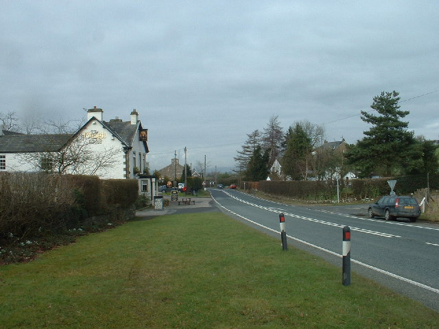
Farleton, Cumbria
Farleton is a village and former civil parish, now in the parish of Beetham, in the South Lakeland local government district, Cumbria, England. In 1931...
Lupton, Cumbria
Lupton is a linear village and civil parish in the South Lakeland district of Cumbria, England, along the main A65 road north west of Kirkby Lonsdale,...

Holme, Cumbria
Holme is a village and civil parish in the South Lakeland district of Cumbria, England, about 2 miles (3.2 km) north of Burton-in-Kendal and 3 miles (4...

Peasey Beck
Peasey Beck is a 19.6-kilometre-long (12.2 mi) beck flowing through Cumbria, England. It rises on Lambrigg Fell where it is known as the Sparishaw Beck...
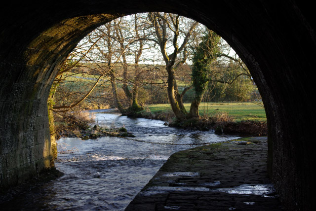
Stainton Beck
Stainton Beck is a watercourse in Cumbria, England. Its upper reaches are known as St. Sunday's Beck. == Course == The source of the stream is close to...
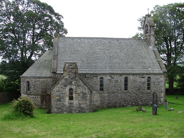
All Saints Church, Lupton
All Saints Church is in the village of Lupton, Cumbria, England. It is an active Anglican parish church in the deanery of Kendal, the archdeaconry of...
Clawthorpe
Clawthorpe is a hamlet in the South Lakeland district, in the county of Cumbria, England. It is near the village of Burton-in-Kendal and the town of Kendal...
Hutton Roof Crags
Hutton Roof Crags is a hill in south-eastern Cumbria in north-west England, located near to the village of Hutton Roof. It has extensive areas of limestone...
Nearby Amenities
Located within 500m of 54.215579,-2.7039788Have you been to Farleton Fell?
Leave your review of Farleton Fell below (or comments, questions and feedback).