Lower Dinting
Settlement in Derbyshire High Peak
England
Lower Dinting
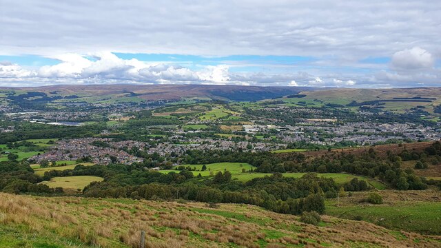
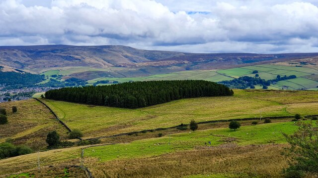
Lower Dinting is a small rural village located in the High Peak district of Derbyshire, England. Situated in the heart of the picturesque Peak District National Park, it is surrounded by rolling hills, lush green fields, and dense woodland. The village is nestled in a valley, offering residents and visitors stunning panoramic views of the surrounding countryside.
Despite its small size, Lower Dinting has a rich history dating back to the medieval period. Evidence of ancient settlements and archaeological finds have been discovered in the area, suggesting human habitation for centuries. Today, the village retains its charming character with a collection of traditional stone cottages, some of which are listed buildings.
The community in Lower Dinting is tight-knit and friendly, with a population of approximately 200 residents. There is a strong sense of community spirit, with regular social events and gatherings taking place, including a popular annual village fête.
The village lacks basic amenities such as shops and schools, with residents relying on nearby towns for their daily needs. However, this is compensated by the tranquility and natural beauty of the surroundings, making Lower Dinting an attractive destination for those seeking a peaceful retreat or a base for exploring the stunning countryside.
Outdoor enthusiasts are spoilt for choice, with numerous walking trails and hiking routes in the vicinity, including nearby Kinder Scout, the highest point in the Peak District. The village also benefits from its proximity to attractions such as Chatsworth House and the historic town of Bakewell, known for its famous Bakewell Pudding.
Overall, Lower Dinting offers a picturesque and idyllic setting for those seeking a peaceful rural escape amidst the beauty of the Peak District.
If you have any feedback on the listing, please let us know in the comments section below.
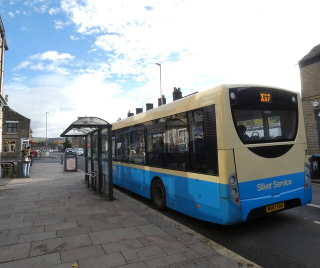
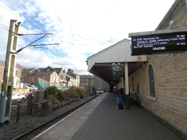
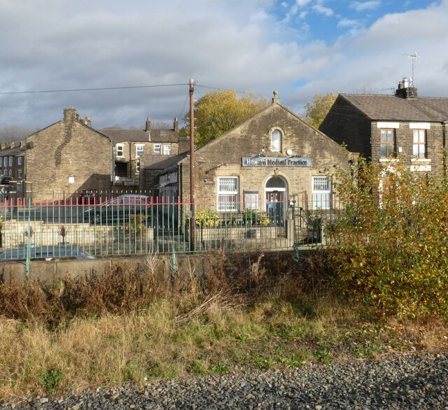
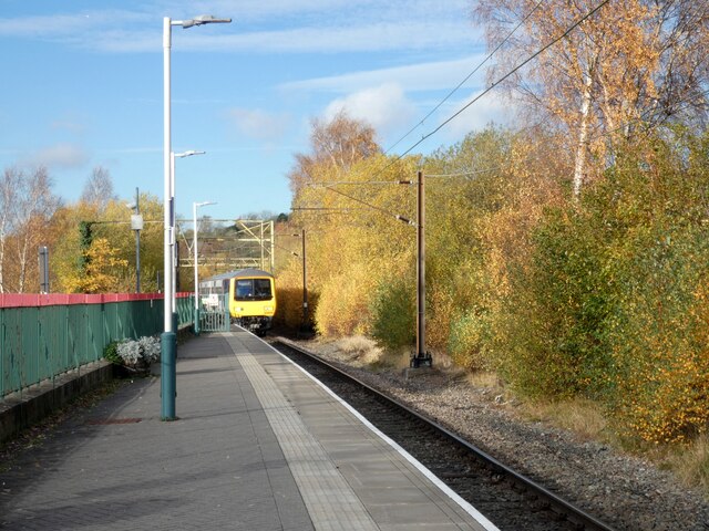
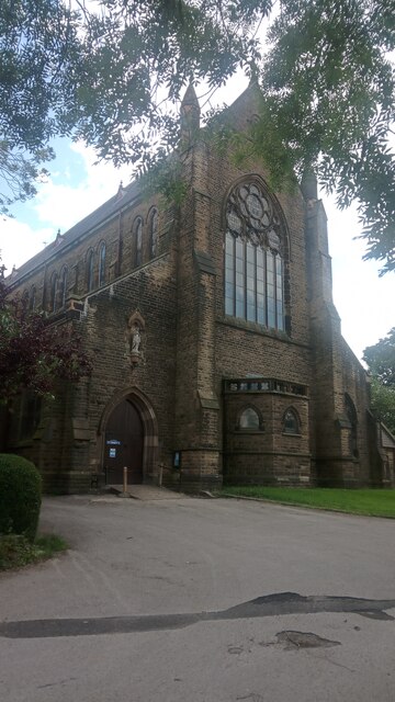
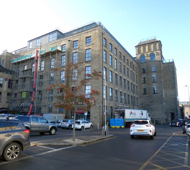
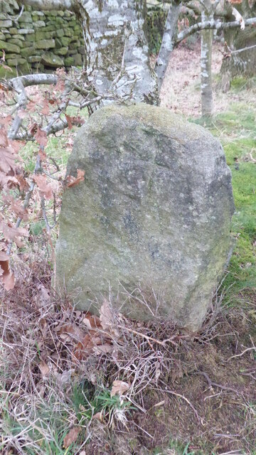
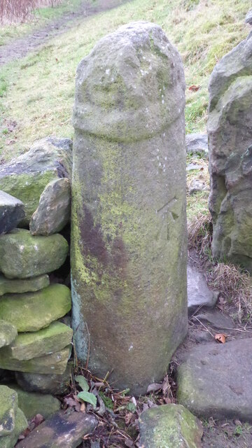
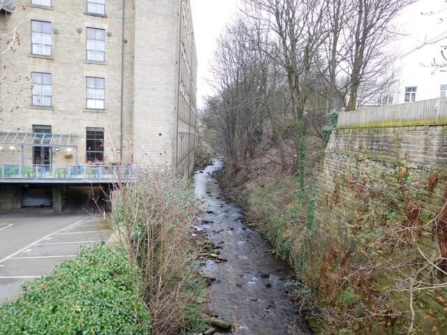
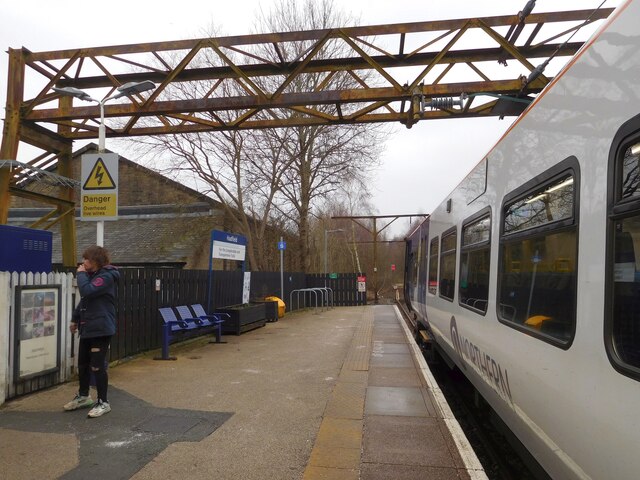
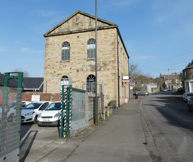
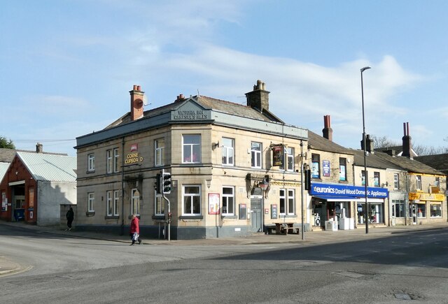
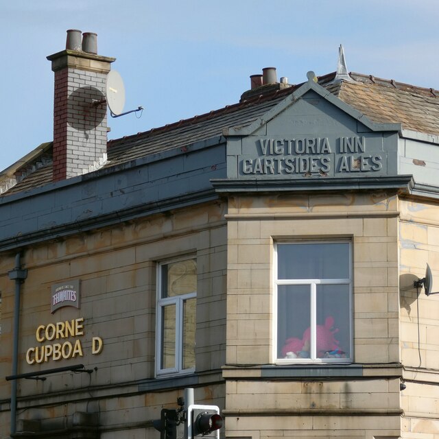
Lower Dinting Images
Images are sourced within 2km of 53.446792/-1.9633744 or Grid Reference SK0294. Thanks to Geograph Open Source API. All images are credited.

Lower Dinting is located at Grid Ref: SK0294 (Lat: 53.446792, Lng: -1.9633744)
Administrative County: Derbyshire
District: High Peak
Police Authority: Derbyshire
What 3 Words
///member.octagon.sourcing. Near Glossop, Derbyshire
Nearby Locations
Related Wikis

Glossop North End A.F.C.
Glossop North End Association Football Club is a football club in Glossop, Derbyshire, England, which compete in the North West Counties League Premier...
Dinting
Dinting is a village in the High Peak district of Derbyshire, England. It is situated near the towns of Glossop and Hadfield. There is a small primary...

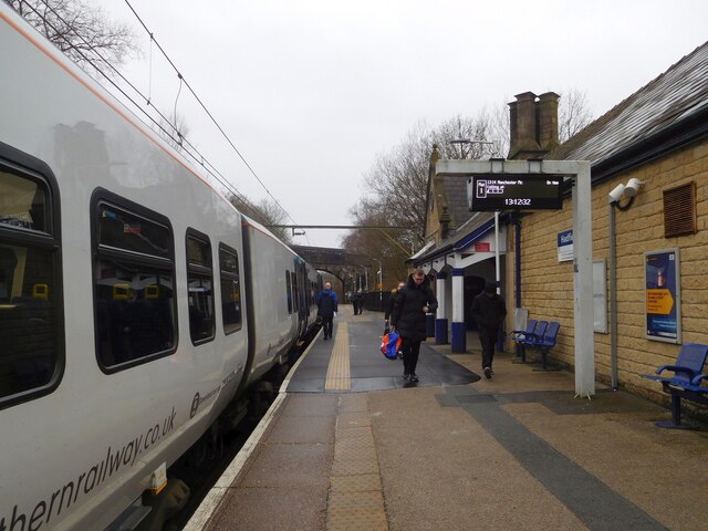
Dinting railway station
Dinting railway station serves the village of Dinting in Derbyshire, England. The station is on the Glossop Line and prior to the Woodhead Line's closure...

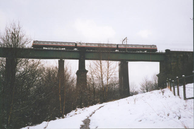
Dinting Viaduct
Dinting Viaduct (also known as Dinting Arches) is a 19th-century railway viaduct in Glossopdale in Derbyshire, England, that carries the Glossop Line over...
Nearby Amenities
Located within 500m of 53.446792,-1.9633744Have you been to Lower Dinting?
Leave your review of Lower Dinting below (or comments, questions and feedback).