Higher Dinting

Settlement in Derbyshire High Peak

England

Higher Dinting

Silver Service to Sheffield The X57 service run by Hulley's of Baslow operates a service from Sheffield to Manchester Airport via the Snake Pass, Glossop, Hyde, Manchester (Chorlton Street) and Fallowfield.

Update: Notice on FB from the operator "After what will be 441 days, the Snake X57 will be withdrawn after operation on Saturday 8 January 2022."
Silver Service to Sheffield Credit: Gerald England

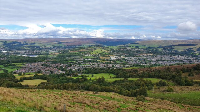
Higher Dinting is a small village located in the county of Derbyshire, England. Situated just south of Glossop, it lies within the High Peak district. The village is nestled in the picturesque Peak District National Park, surrounded by rolling hills and stunning landscapes.

With a population of around 200 residents, Higher Dinting retains its charming rural character. The village is known for its traditional stone-built houses, many of which date back to the 18th and 19th centuries. These historic buildings add to the village's unique and quaint atmosphere.

Higher Dinting offers a peaceful and tranquil environment, making it an ideal place for nature lovers and outdoor enthusiasts. The surrounding area provides ample opportunities for hiking, cycling, and exploring the stunning countryside. The village is also in close proximity to several popular walking trails, including the Pennine Way and the Longdendale Trail.

Despite its small size, Higher Dinting benefits from its convenient location. The nearby town of Glossop offers a range of amenities, including shops, supermarkets, and schools. The village is also well-connected, with good transport links to other nearby towns and cities.

Overall, Higher Dinting is a charming and idyllic village set amidst the beautiful Derbyshire countryside. Its peaceful atmosphere, historic buildings, and stunning surroundings make it an appealing place for those seeking a rural retreat within easy reach of modern amenities.

If you have any feedback on the listing, please let us know in the comments section below.

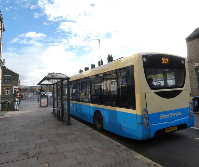
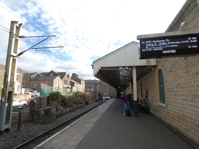
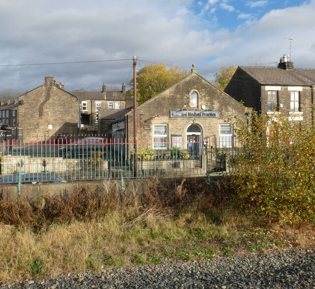
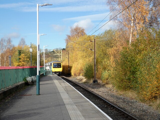
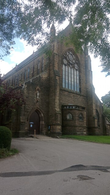
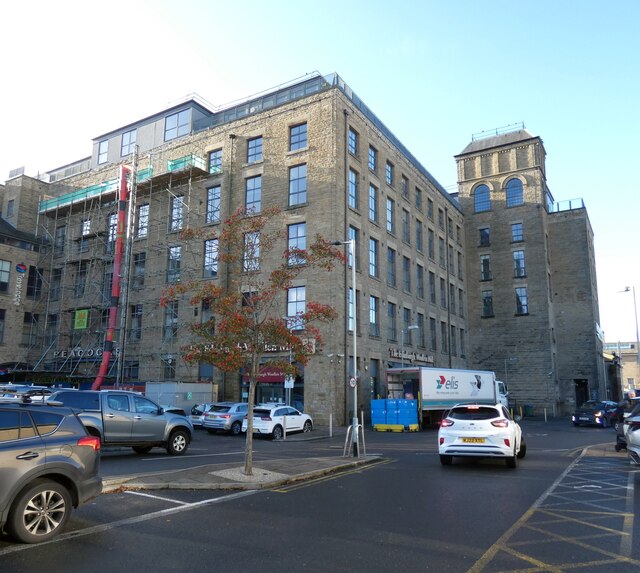
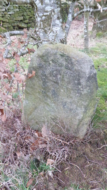
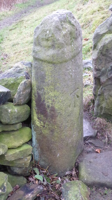
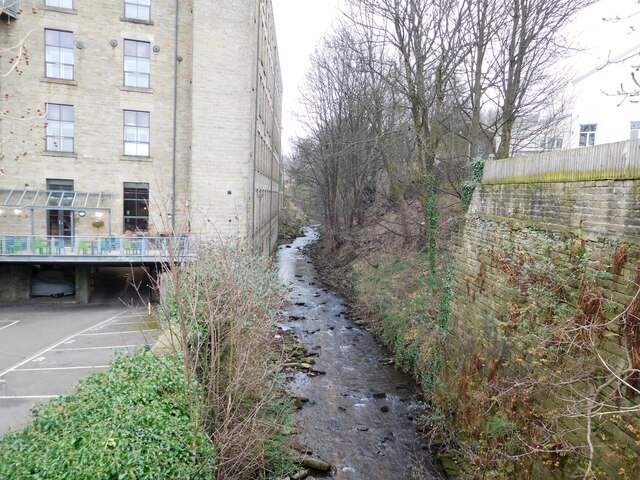
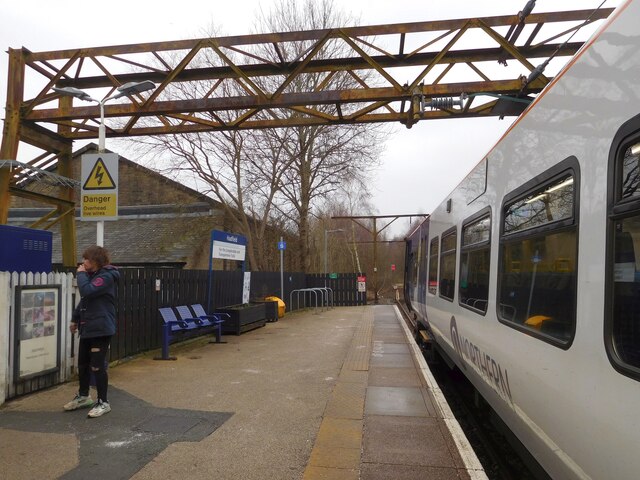
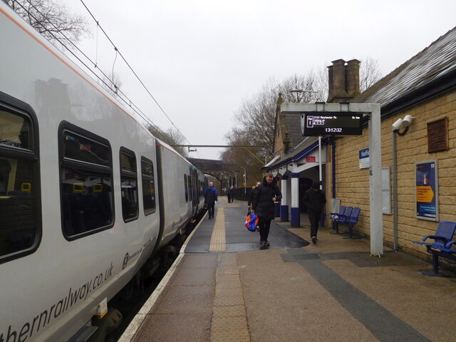
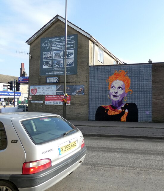
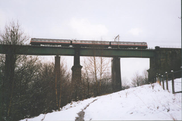
Higher Dinting Images

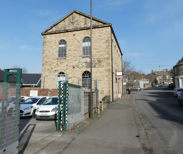
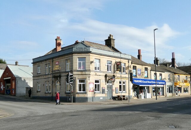
Images are sourced within 2km of 53.449497/-1.962022 or Grid Reference SK0294. Thanks to Geograph Open Source API. All images are credited.

Silver Service to Sheffield The X57 service run by Hulley's of Baslow operates a service from Sheffield to Manchester Airport via the Snake Pass, Glossop, Hyde, Manchester (Chorlton Street) and Fallowfield.

Update: Notice on FB from the operator "After what will be 441 days, the Snake X57 will be withdrawn after operation on Saturday 8 January 2022."
Silver Service to Sheffield
The X57 service run by Hulley's of Baslow operates a service from Sheffield to Manchester Airport via the Snake Pass, Glossop, Hyde, Manchester (Chorlton Street) and Fallowfield. Update: Notice on FB from the operator "After what will be 441 days, the Snake X57 will be withdrawn after operation on Saturday 8 January 2022."
Glossop Station Glossop Railway Station was opened in 1845 by the Sheffield, Ashton-Under-Lyne & Manchester Railway. The station and the branch line from Dinting were built privately by the Duke of Norfolk; ownership later transferred to the London and North Eastern Railway. In 2005, Glossop Environmental Trust undertook enhancement work to the station building and garden, with stone copings, railings and planting.
Glossop Station
Glossop Railway Station was opened in 1845 by the Sheffield, Ashton-Under-Lyne & Manchester Railway. The station and the branch line from Dinting were built privately by the Duke of Norfolk; ownership later transferred to the London and North Eastern Railway. In 2005, Glossop Environmental Trust undertook enhancement work to the station building and garden, with stone copings, railings and planting.
Howard Medical Centre Originally the Wesleyan Reform Chapel Sunday School. The Chapel itself was demolished in 1965.
Howard Medical Centre
Originally the Wesleyan Reform Chapel Sunday School. The Chapel itself was demolished in 1965.
Train at Glossop The train is a Northern service arriving from Hadfield. Having picked up passengers in Glossop it will then proceed to Manchester Piccadilly.
Train at Glossop
The train is a Northern service arriving from Hadfield. Having picked up passengers in Glossop it will then proceed to Manchester Piccadilly.
St Mary's Church, Glossop Having done a bit of online fact-finding about this place, I wish I had been nosier and given the door a little push, as the interior is very impressive indeed. On large-scale internet maps it goes by the name of 'St Mary's Roman Catholic Church'. Elsewhere, however, it is most often referred to as 'Church of St Mary Crowned', or something very similar. The 'Crowned' bit seems to be a reference to the pope once being the guy who authorized the coronations of the kings who took charge in states within his rough control. Since this church was built in the 1880s in what is described as a 'Gothic Revival' style by Historic England, I presume this official title is merely a nod to the former influence of the Catholic Church.
This entrance is off Sumner Street, named after the Glossop cotton-milling family that provided the money to build not only this church, but also  a school 30-odd years before which backs onto its grounds. They must have been swimming in money, as the church is notable for being very grand for its times and far taller than most of its generation. I did have a nose at the school, but didn't take a picture, which must mean that the original building has since been replaced by what is now a common or garden one.
Of course, if I was wandering around Glossop in  2122, and the present school was still standing, it would then have warranted a picture with my historically-biased mindset; on reflection this is a reason for taking more pictures of things that look boring today.
St Mary's Church, Glossop
Having done a bit of online fact-finding about this place, I wish I had been nosier and given the door a little push, as the interior is very impressive indeed. On large-scale internet maps it goes by the name of 'St Mary's Roman Catholic Church'. Elsewhere, however, it is most often referred to as 'Church of St Mary Crowned', or something very similar. The 'Crowned' bit seems to be a reference to the pope once being the guy who authorized the coronations of the kings who took charge in states within his rough control. Since this church was built in the 1880s in what is described as a 'Gothic Revival' style by Historic England, I presume this official title is merely a nod to the former influence of the Catholic Church. This entrance is off Sumner Street, named after the Glossop cotton-milling family that provided the money to build not only this church, but also a school 30-odd years before which backs onto its grounds. They must have been swimming in money, as the church is notable for being very grand for its times and far taller than most of its generation. I did have a nose at the school, but didn't take a picture, which must mean that the original building has since been replaced by what is now a common or garden one. Of course, if I was wandering around Glossop in 2122, and the present school was still standing, it would then have warranted a picture with my historically-biased mindset; on reflection this is a reason for taking more pictures of things that look boring today.
Glossop Glossop seen from Monks' Road.
Glossop
Glossop seen from Monks' Road.
Edinburgh Woollen Mill, Glossop Now closed.
Edinburgh Woollen Mill, Glossop
Now closed.
M&S Foodhall, Glossop
Old Wayside Cross on Carr House Lane, Glossop Carr House Lane Cross, a cross incised in a carved stone beside the footpath called Carr House Lane from Cliffe Road in Glossop to Derbyshire Level. Read N. T Sharpe (2002), Crosses of the Peak District and <span class="nowrap"><a title="https://glossopcuriosities.wordpress.com/2017/12/01/carr-house-lane-stone/" rel="nofollow ugc noopener" href="https://glossopcuriosities.wordpress.com/2017/12/01/carr-house-lane-stone/">Link</a><img style="margin-left:2px;" alt="External link" title="External link - shift click to open in new window" src="https://s1.geograph.org.uk/img/external.png" width="10" height="10"/></span>.

Milestone Society National ID: DEHP_GLO04
Old Wayside Cross on Carr House Lane, Glossop
Carr House Lane Cross, a cross incised in a carved stone beside the footpath called Carr House Lane from Cliffe Road in Glossop to Derbyshire Level. Read N. T Sharpe (2002), Crosses of the Peak District and LinkExternal link. Milestone Society National ID: DEHP_GLO04
Old Wayside Cross in Glossop Whitfield Cross, the shaft of an old wayside cross now part of a stile on the footpath from High Street East in Glossop to Cliffe Road. Read N. T Sharpe (2002), Crosses of the Peak District and <span class="nowrap"><a title="https://glossopcuriosities.wordpress.com/2017/09/07/whitfield-cross/" rel="nofollow ugc noopener" href="https://glossopcuriosities.wordpress.com/2017/09/07/whitfield-cross/">Link</a><img style="margin-left:2px;" alt="External link" title="External link - shift click to open in new window" src="https://s1.geograph.org.uk/img/external.png" width="10" height="10"/></span>.

Milestone Society National ID: DEHP_GLO05
Old Wayside Cross in Glossop
Whitfield Cross, the shaft of an old wayside cross now part of a stile on the footpath from High Street East in Glossop to Cliffe Road. Read N. T Sharpe (2002), Crosses of the Peak District and LinkExternal link. Milestone Society National ID: DEHP_GLO05
Glossop Brook Upstream from Victoria Street.
Glossop Brook
Upstream from Victoria Street.
Hadfield Station The end of the working line at Hadfield.
Hadfield Station
The end of the working line at Hadfield.
Hadfield Station The Northern service to Glossop and Manchester Piccadilly is almost ready to depart.
Hadfield Station
The Northern service to Glossop and Manchester Piccadilly is almost ready to depart.
Glossop Gas Works 
The Grade II listed <span class="nowrap"><a title="https://historicengland.org.uk/listing/the-list/list-entry/1384222?section=official-list-entry" rel="nofollow ugc noopener" href="https://historicengland.org.uk/listing/the-list/list-entry/1384222?section=official-list-entry">Link</a><img style="margin-left:2px;" alt="External link" title="External link - shift click to open in new window" src="https://s1.geograph.org.uk/img/external.png" width="10" height="10"/></span> Gas Works on Arundel Street dates from 1845.

In recent year it has been repurposed as a Business Hub <span class="nowrap"><a title="https://www.glossopgasworks.co.uk/" rel="nofollow ugc noopener" href="https://www.glossopgasworks.co.uk/">Link</a><img style="margin-left:2px;" alt="External link" title="External link - shift click to open in new window" src="https://s1.geograph.org.uk/img/external.png" width="10" height="10"/></span>

For a detailed historical account see the Glossop Heritage site: <span class="nowrap"><a title="https://glossopheritage.co.uk/ghtarchive/gasco/" rel="nofollow ugc noopener" href="https://glossopheritage.co.uk/ghtarchive/gasco/">Link</a><img style="margin-left:2px;" alt="External link" title="External link - shift click to open in new window" src="https://s1.geograph.org.uk/img/external.png" width="10" height="10"/></span>
Glossop Gas Works
The Grade II listed LinkExternal link Gas Works on Arundel Street dates from 1845. In recent year it has been repurposed as a Business Hub LinkExternal link For a detailed historical account see the Glossop Heritage site: LinkExternal link
Corner Cupboard A Thwaites pub on the corner of Arundel Street and High Street West. Originally it was the Victoria Inn owned by Gartsides Ales <a href="https://www.geograph.org.uk/photo/7427287">SK0394 : Victoria Inn Gartsides Ales</a>.
Corner Cupboard
A Thwaites pub on the corner of Arundel Street and High Street West. Originally it was the Victoria Inn owned by Gartsides Ales SK0394 : Victoria Inn Gartsides Ales.
Sign of the Corner Cupboard Sign for the Corner Cupboard <a href="https://www.geograph.org.uk/photo/7426848">SK0394 : Corner Cupboard</a>.
Sign of the Corner Cupboard
Sign for the Corner Cupboard SK0394 : Corner Cupboard.
Victoria Inn Gartsides Ales 
Detail in what is now the Corner Cupboad <a href="https://www.geograph.org.uk/photo/7426848">SK0394 : Corner Cupboard</a>.
Victoria Inn Gartsides Ales
Detail in what is now the Corner Cupboad SK0394 : Corner Cupboard.
Vivienne Westwood in Glossop 
A mural featuring  the grand dame of fashion and global icon, Vivienne Westwood - who was born in Tintwistle and went to school in Glossop - was unveiled in August 2022. It was created on Chapel Street by local artist Deggy who was formerly bass guitarist in Gorilla Riot <span class="nowrap"><a title="https://deggy.co.uk/" rel="nofollow ugc noopener" href="https://deggy.co.uk/">Link</a><img style="margin-left:2px;" alt="External link" title="External link - shift click to open in new window" src="https://s1.geograph.org.uk/img/external.png" width="10" height="10"/></span>
Vivienne Westwood in Glossop
A mural featuring the grand dame of fashion and global icon, Vivienne Westwood - who was born in Tintwistle and went to school in Glossop - was unveiled in August 2022. It was created on Chapel Street by local artist Deggy who was formerly bass guitarist in Gorilla Riot LinkExternal link
Show me another place!

Higher Dinting is located at Grid Ref: SK0294 (Lat: 53.449497, Lng: -1.962022)

Administrative County: Derbyshire

District: High Peak

Police Authority: Derbyshire

What 3 Words

///pillow.undivided.alarm. Near Glossop, Derbyshire

Related Wikis

Dinting

Dinting is a village in the High Peak district of Derbyshire, England. It is situated near the towns of Glossop and Hadfield. There is a small primary...

Dinting railway station

Dinting railway station serves the village of Dinting in Derbyshire, England. The station is on the Glossop Line and prior to the Woodhead Line's closure...

Glossop North End A.F.C.

Glossop North End Association Football Club is a football club in Glossop, Derbyshire, England, which compete in the North West Counties League Premier...

North Road (Glossop)

North Road is a cricket and former football ground in Glossop in England. It was the home ground of Glossop North End during their time in the Football...

Nearby Amenities

Located within 500m of 53.449497,-1.962022
Dinting South Junction
Railway: switch
Lat/Long: 53.4490156/-1.9683778
Ward's Crossing
Historic Railway: level_crossing
Lat/Long: 53.4474674/-1.9661042
Barrier: stile
Lat/Long: 53.4525101/-1.9613304
Barrier: stile
Lat/Long: 53.450435/-1.968911
Barrier: stile
Lat/Long: 53.4503154/-1.9669017
Barrier: stile
Lat/Long: 53.4499105/-1.9642136
KFC
Cuisine: chicken
Disused Amenity: fast_food
Lat/Long: 53.4456294/-1.9591984
Artwork Type: statue
Tourism: artwork
Lat/Long: 53.4507052/-1.9551876
SAABtec
Addr City: Glossop
Addr Housename: Unit 12, Glossop Brook Business Park
Addr Postcode: SK13 7AJ
Addr Street: Surrey Street
Opening Hours: Mo-Fr 09:00-05:30; Sa 08:30-01:30
Phone: +44 1457 867878
Shop: car_repair
Website: http://saabtec.co.uk
Lat/Long: 53.4461552/-1.9589536
Generator Method: photovoltaic
Generator Output Electricity: yes
Generator Source: solar
Generator Type: solar_photovoltaic_panel
Location: roof
Power: generator
Lat/Long: 53.4477774/-1.9565686
Generator Method: photovoltaic
Generator Output Electricity: yes
Generator Source: solar
Generator Type: solar_photovoltaic_panel
Location: roof
Power: generator
Lat/Long: 53.4482726/-1.9563058
Generator Method: photovoltaic
Generator Output Electricity: yes
Generator Source: solar
Generator Type: solar_photovoltaic_panel
Location: roof
Power: generator
Lat/Long: 53.4481288/-1.9585829
Generator Method: photovoltaic
Generator Output Electricity: yes
Generator Source: solar
Generator Type: solar_photovoltaic_panel
Location: roof
Power: generator
Lat/Long: 53.4480042/-1.959165
Generator Method: photovoltaic
Generator Output Electricity: yes
Generator Source: solar
Generator Type: solar_photovoltaic_panel
Location: roof
Power: generator
Lat/Long: 53.448005/-1.9575718
Generator Method: photovoltaic
Generator Output Electricity: yes
Generator Source: solar
Generator Type: solar_photovoltaic_panel
Location: roof
Power: generator
Lat/Long: 53.4485477/-1.9567993
Generator Method: photovoltaic
Generator Output Electricity: yes
Generator Source: solar
Generator Type: solar_photovoltaic_panel
Location: roof
Power: generator
Lat/Long: 53.4485245/-1.955766
Generator Method: photovoltaic
Generator Output Electricity: yes
Generator Source: solar
Generator Type: solar_photovoltaic_panel
Location: roof
Power: generator
Lat/Long: 53.4520059/-1.9576737
Bench
Backrest: yes
Lat/Long: 53.4507588/-1.9552459
Bench
Backrest: yes
Material: metal
Lat/Long: 53.4513178/-1.9556174
Information: board
Tourism: information
Lat/Long: 53.4507995/-1.9558507
Bench
Backrest: yes
Material: wood
Lat/Long: 53.4507755/-1.9555101
Bench
Material: stone
Lat/Long: 53.4506262/-1.9549193
Bench
Backrest: yes
Lat/Long: 53.4504349/-1.9548355
Bench
Backrest: yes
Lat/Long: 53.4504533/-1.955203
Dinting South Junction
Railway: junction
Lat/Long: 53.4491381/-1.9686641
The data included in this document is from www.openstreetmap.org. The data is made available under ODbL.

Have you been to Higher Dinting?

Leave your review of Higher Dinting below (or comments, questions and feedback).