Higher Disley
Settlement in Cheshire
England
Higher Disley
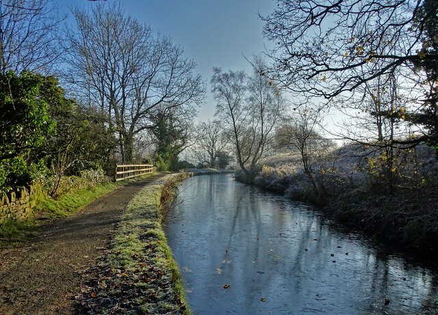
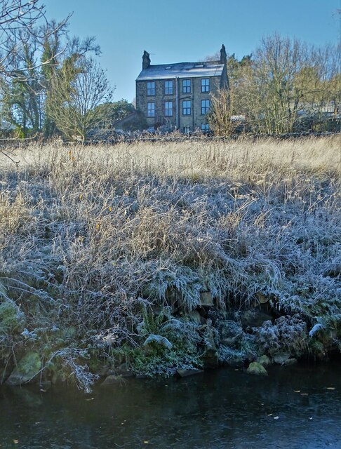
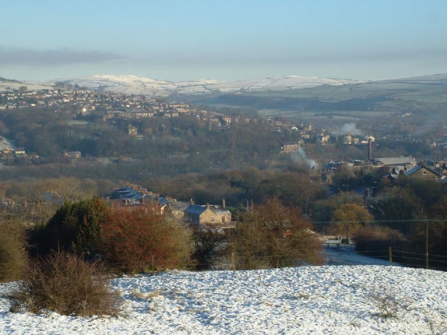
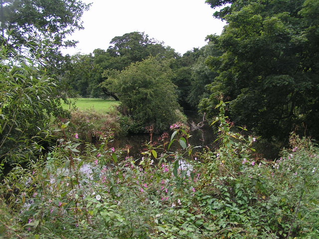
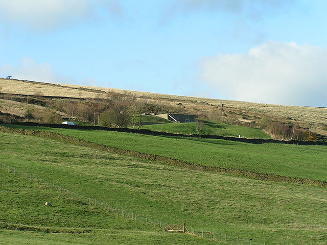
Higher Disley is a small village located in the county of Cheshire, England. Situated in the picturesque Peak District National Park, it is nestled on the western edge of the Cheshire Plain, offering stunning views of the surrounding countryside. The village is part of the larger Disley civil parish and is bordered by the River Goyt to the east.
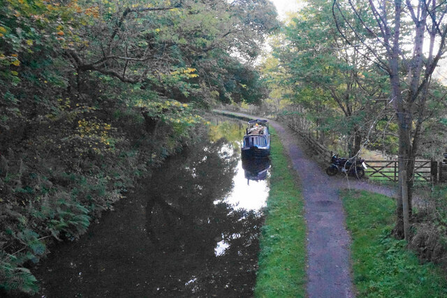
Historically, Higher Disley was primarily an agricultural community, with farming being the main occupation of its residents. However, with the advent of the Industrial Revolution, the village underwent significant changes. The construction of the Peak Forest Canal in the late 18th century brought prosperity to the area, as it facilitated the transportation of goods and raw materials between Manchester and the surrounding regions.
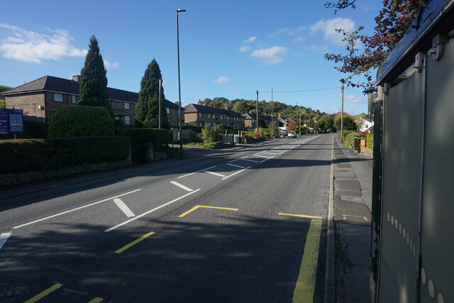
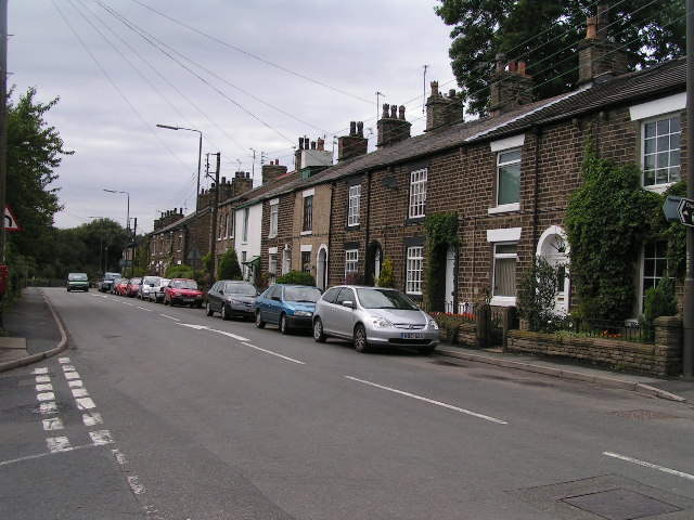
Nowadays, Higher Disley is a popular residential area, attracting people who seek a peaceful and scenic environment. The village boasts a range of amenities, including a primary school, a library, a village hall, and a number of shops and pubs. It is also well-known for its charming stone cottages and traditional architecture.
For outdoor enthusiasts, Higher Disley offers numerous opportunities for recreation. The nearby Lyme Park, a large estate owned by the National Trust, provides extensive grounds for walking, cycling, and picnicking. The village is also a gateway to the Peak District, offering access to stunning landscapes, hiking trails, and outdoor activities.
Overall, Higher Disley is a tranquil and picturesque village, perfect for those seeking a peaceful countryside setting within close proximity to urban amenities and natural beauty.
If you have any feedback on the listing, please let us know in the comments section below.
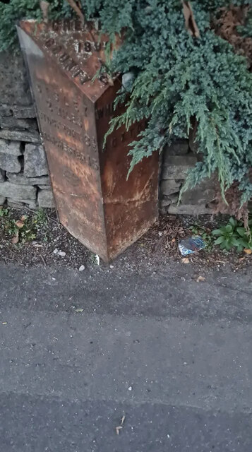
Higher Disley Images
Images are sourced within 2km of 53.352332/-2.026859 or Grid Reference SJ9883. Thanks to Geograph Open Source API. All images are credited.


Higher Disley is located at Grid Ref: SJ9883 (Lat: 53.352332, Lng: -2.026859)
Unitary Authority: Cheshire East
Police Authority: Cheshire
What 3 Words
///shampoo.keyboards.lowest. Near Disley, Cheshire
Nearby Locations
Related Wikis

Bollinhurst Reservoir
The Bollinhurst Reservoir was constructed in Lyme Park in 1872 for the Stockport District Waterworks Company. At the time of the First World War, it had...

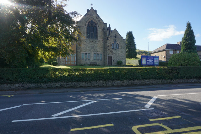
St Mary's Church, Disley
St Mary's Church is an Anglican parish church in the diocese of Chester, the archdeaconry of Macclesfield and the deanery of Chadkirk. It is on a hill...
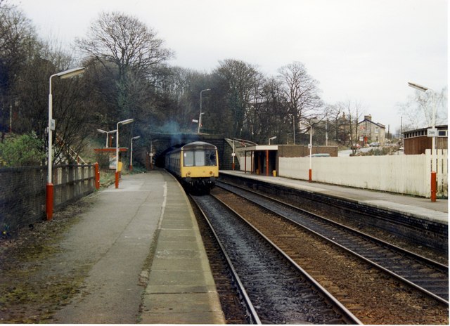
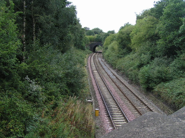
Disley railway station
Disley railway station serves the village of Disley in Cheshire, England. It is 12+1⁄3 miles (19.8 km) south east of Manchester Piccadilly on the Buxton...
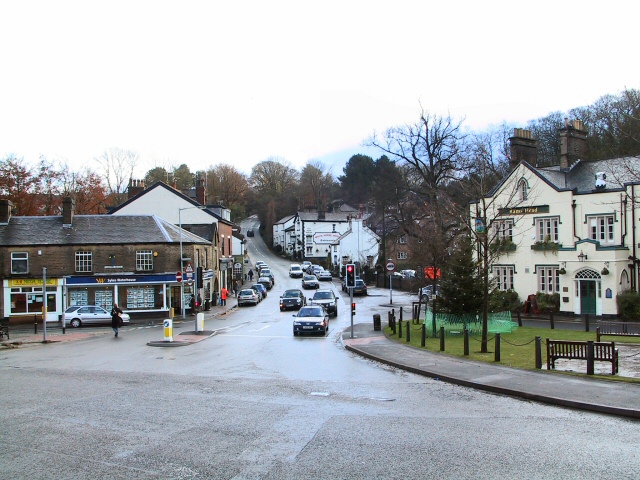
Disley
Disley is a village and civil parish in Cheshire, England. It is located on the edge of the Peak District in the Goyt valley, south of Stockport and close...
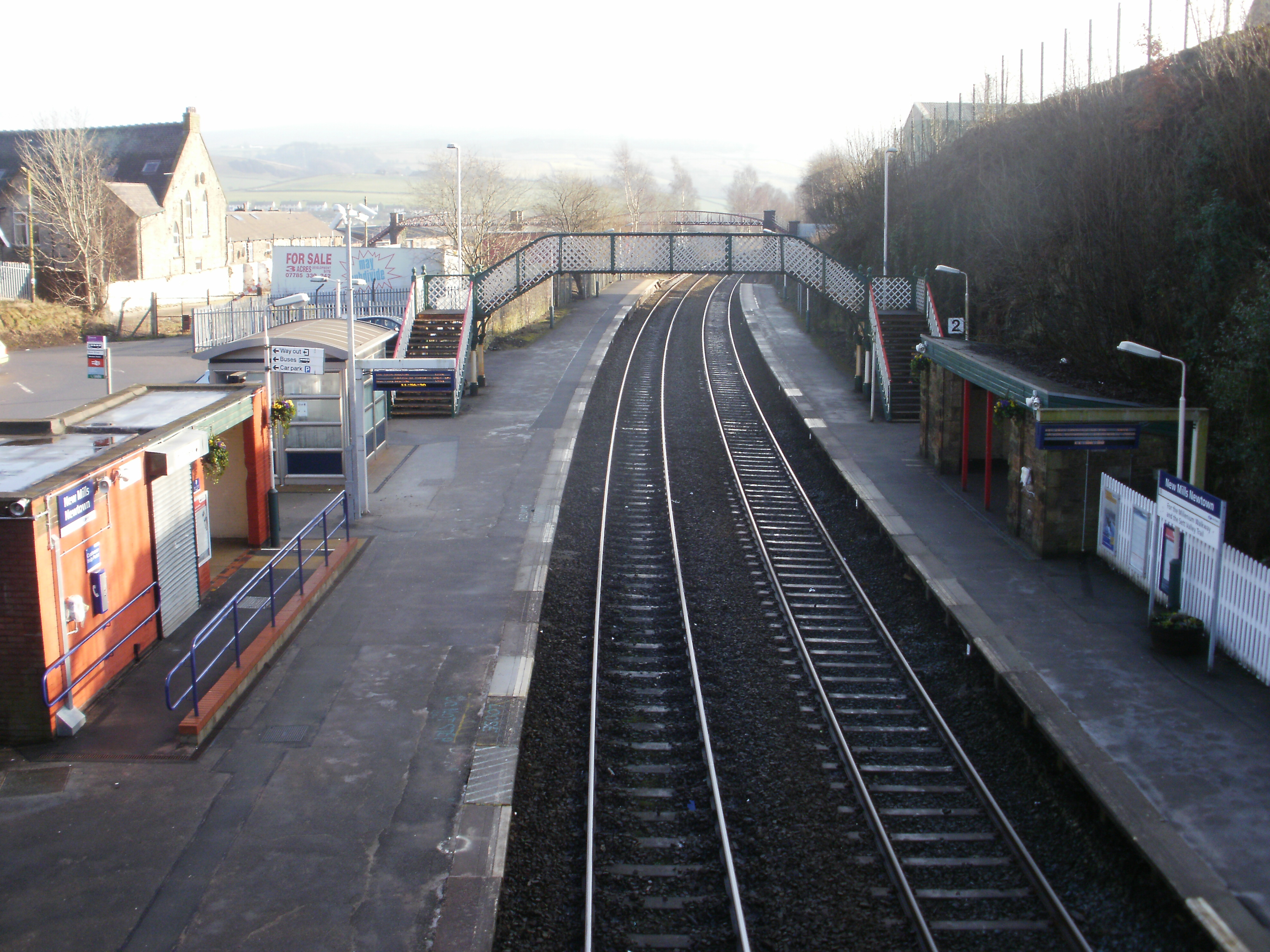
New Mills Newtown railway station
New Mills Newtown railway station serves the Peak District town of New Mills in Derbyshire, England. The station is 14+1⁄4 miles (22.9 km) south east of...
Newtown, Derbyshire
Newtown is an area of the town of New Mills in the High Peak borough of Derbyshire, England. It is situated west of New Mills proper, on the road to Disley...

List of mills in Derbyshire
This is a list of the cotton and other textile mills in Derbyshire, England. The first mills were built in the 1760s in the Derwent Valley by Arkwright...

Hague Bar
Hague Bar is a hamlet in New Mills, Derbyshire, near Marple and Stockport. The Manchester to Sheffield railway passes through the Goyt valley at this point...
Nearby Amenities
Located within 500m of 53.352332,-2.026859Have you been to Higher Disley?
Leave your review of Higher Disley below (or comments, questions and feedback).